Little Wood
Wood, Forest in Yorkshire Craven
England
Little Wood
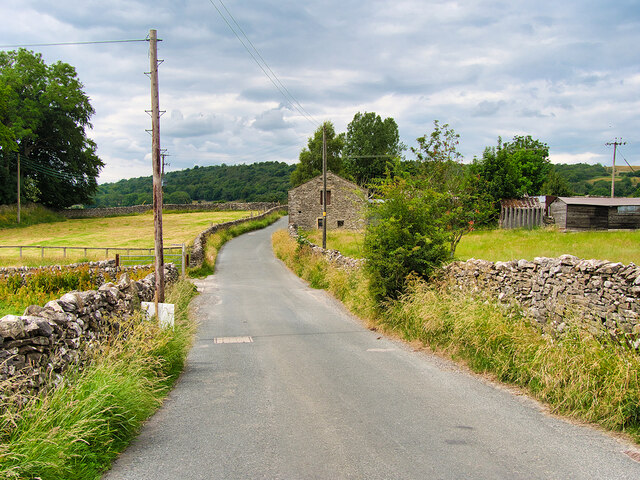
Little Wood, Yorkshire, also known as Wood or Forest, is a picturesque village located in the heart of Yorkshire, England. Nestled amidst rolling green hills and surrounded by dense woodlands, this charming village offers a serene and idyllic setting for its residents and visitors alike.
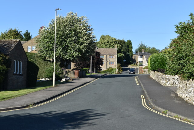
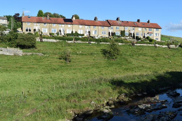
With a population of around 500, Little Wood exudes a strong sense of community and a peaceful way of life. The village is well-preserved, showcasing a blend of traditional and modern architecture. The quaint stone cottages and historic buildings add to its rustic charm, while modern amenities cater to the needs of the residents.
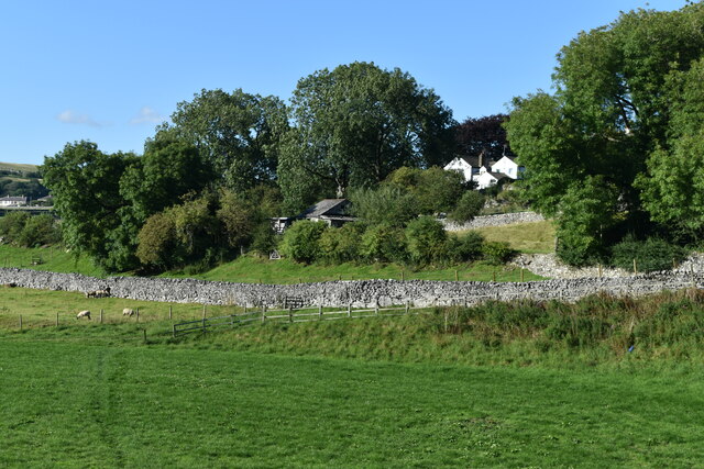
Nature lovers and outdoor enthusiasts are drawn to Little Wood for its stunning natural surroundings. The village is situated near vast woodlands, providing ample opportunities for hiking, walking, and exploring the great outdoors. The nearby Little Wood Forest, after which the village is named, is a protected area known for its diverse flora and fauna, making it a haven for wildlife enthusiasts.
Little Wood also boasts a range of amenities to cater to its residents. There is a local village shop, a post office, and a charming village pub that serves as a social hub for locals and tourists alike. The community is known for its strong sense of togetherness, organizing various events and festivals throughout the year.
In summary, Little Wood, Yorkshire, is a picturesque village that offers a peaceful and close-knit community. Surrounded by lush woodlands and boasting a range of amenities, it is a haven for nature lovers and those seeking a tranquil way of life.
If you have any feedback on the listing, please let us know in the comments section below.
Little Wood Images
Images are sourced within 2km of 54.074535/-2.0281913 or Grid Reference SD9864. Thanks to Geograph Open Source API. All images are credited.


![A walk from Grassington to Kelber and return [71] The path, part of the long distance Dales Way, continues towards Grassington, now seen in the distance.
After leaving the town, the walk crosses Grassington Moor via Bare House to Bycliffe Road. The road is followed past Kelber Gate towards Scot Gate Lane. The route then follows the long distance Dales Way back to Grassington. About 6½ miles.](https://s0.geograph.org.uk/geophotos/07/03/79/7037904_57235924.jpg)
![Grassington features [2] Grassington Bridge, also known as Linton Bridge, carries Station Road, B6265, over the River Wharfe. With 17th century origins, the bridge was widened in 1780 and the road surface substantially rebuilt in 1824. With 4 segmental arches in squared, coursed gritstone with some ashlar. Listed, grade II, with details at: <span class="nowrap"><a title="https://historicengland.org.uk/listing/the-list/list-entry/1316846" rel="nofollow ugc noopener" href="https://historicengland.org.uk/listing/the-list/list-entry/1316846">Link</a><img style="margin-left:2px;" alt="External link" title="External link - shift click to open in new window" src="https://s1.geograph.org.uk/img/external.png" width="10" height="10"/></span>
Grassington is a small market town, receiving its charter in 1282. The town is located in Wharfedale in the Yorkshire Dales National Park, some 7½ miles north of Skipton. Lead mining brought prosperity to the town in the 18th and 19th centuries. The town now attracts many tourists, especially walkers, with some excellent routes on the surrounding fells.](https://s2.geograph.org.uk/geophotos/07/03/85/7038550_b7091aeb.jpg)
![Grassington features [3] Grassington Bridge, also known as Linton Bridge, carries Station Road, B6265, over the River Wharfe. With 17th century origins, the bridge was widened in 1780 and the road surface substantially rebuilt in 1824. With 4 segmental arches in squared, coursed gritstone with some ashlar. Listed, grade II, with details at: <span class="nowrap"><a title="https://historicengland.org.uk/listing/the-list/list-entry/1316846" rel="nofollow ugc noopener" href="https://historicengland.org.uk/listing/the-list/list-entry/1316846">Link</a><img style="margin-left:2px;" alt="External link" title="External link - shift click to open in new window" src="https://s1.geograph.org.uk/img/external.png" width="10" height="10"/></span>
Grassington is a small market town, receiving its charter in 1282. The town is located in Wharfedale in the Yorkshire Dales National Park, some 7½ miles north of Skipton. Lead mining brought prosperity to the town in the 18th and 19th centuries. The town now attracts many tourists, especially walkers, with so](https://s0.geograph.org.uk/geophotos/07/03/85/7038556_397c2fd6.jpg)
![Grassington features [4] The River Wharfe, looking upstream from Grassington Bridge which carries Station Road, B6265.
Grassington is a small market town, receiving its charter in 1282. The town is located in Wharfedale in the Yorkshire Dales National Park, some 7½ miles north of Skipton. Lead mining brought prosperity to the town in the 18th and 19th centuries. The town now attracts many tourists, especially walkers, with some excellent routes on the surrounding fells.](https://s0.geograph.org.uk/geophotos/07/03/85/7038560_a39b39a7.jpg)
![Grassington features [5] The River Wharfe, looking downstream from Grassington Bridge which carries Station Road, B6265.
Grassington is a small market town, receiving its charter in 1282. The town is located in Wharfedale in the Yorkshire Dales National Park, some 7½ miles north of Skipton. Lead mining brought prosperity to the town in the 18th and 19th centuries. The town now attracts many tourists, especially walkers, with some excellent routes on the surrounding fells.](https://s2.geograph.org.uk/geophotos/07/03/85/7038562_4e2c9c73.jpg)
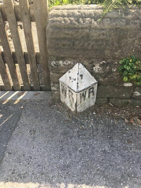
![Grassington features [6] This County Bridge Marker is seen on the south side of Station Road, B6265. The marker indicates the extent of roadway adjoining the bridge that the County was obliged to maintain.
Grassington is a small market town, receiving its charter in 1282. The town is located in Wharfedale in the Yorkshire Dales National Park, some 7½ miles north of Skipton. Lead mining brought prosperity to the town in the 18th and 19th centuries. The town now attracts many tourists, especially walkers, with some excellent routes on the surrounding fells.](https://s1.geograph.org.uk/geophotos/07/03/85/7038565_6a08fee3.jpg)
![Grassington houses [7] Ladywell Cottage in located in Linton Road near a spring known as Our Lady&#039;s Well. The existing house was erected next to a steeply roofed, possibly cruck built, building, now the site of a 20th century range. The house is 17th century of gritstone rubble with freestone dressings under a stone slate roof. Listed, grade II, with details at: <span class="nowrap"><a title="https://historicengland.org.uk/listing/the-list/list-entry/1132095" rel="nofollow ugc noopener" href="https://historicengland.org.uk/listing/the-list/list-entry/1132095">Link</a><img style="margin-left:2px;" alt="External link" title="External link - shift click to open in new window" src="https://s1.geograph.org.uk/img/external.png" width="10" height="10"/></span>
Grassington is a small market town, receiving its charter in 1282. The town is located in Wharfedale in the Yorkshire Dales National Park, some 7½ miles north of Skipton. Lead mining brought prosperity to the town in the 18th and 19th centuries. The town now attracts many tourists, especially walkers, with some excellent routes on the surrounding fells.](https://s0.geograph.org.uk/geophotos/07/03/85/7038576_3b2a2c56.jpg)
Little Wood is located at Grid Ref: SD9864 (Lat: 54.074535, Lng: -2.0281913)
Division: West Riding
Administrative County: North Yorkshire
District: Craven
Police Authority: North Yorkshire
What 3 Words
///iteration.hurls.jacket. Near Grassington, North Yorkshire
Nearby Locations
Related Wikis

Threshfield
Threshfield is a small village and civil parish in the Craven district of North Yorkshire, England with a population of 980 residents, reducing to 968...
Upper Wharfedale School
Upper Wharfedale School is a coeducational secondary school located in Threshfield, North Yorkshire, England. The school is named after Wharfedale, one...
Grassington & Threshfield railway station
Grassington & Threshfield railway station (or Threshfield station) was a railway station that served the town of Grassington and village of Threshfield...
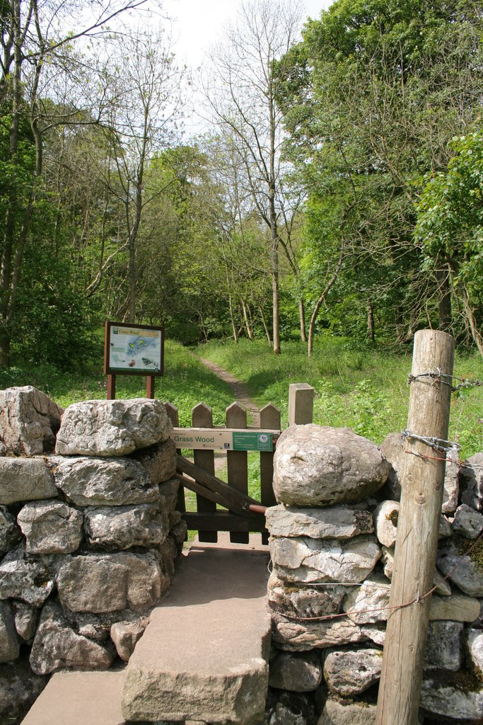
Grass Wood, Wharfedale
Grass Wood is an ancient woodland of 88 hectares (220 acres) in Wharfedale, North Yorkshire, England, that has an exceptional ground flora of woodland...

Linton Falls Hydro
Linton Falls Hydro is a hydroelectric generating power station located on the Linton Falls Weir of the River Wharfe, near Grassington, North Yorkshire...

Grassington
Grassington is a village and civil parish in North Yorkshire, England. The population of the parish at the 2011 Census was 1,126. Historically part of...

Linton, North Yorkshire
Linton is a village and civil parish in the Craven district of North Yorkshire, England. The population as of the 2011 census was 176. It lies not far...

Swinden Quarry
Swinden Quarry is 0.62 miles (1 km) north of the village of Cracoe, and 1.9 miles (3 km) south-west of Grassington in North Yorkshire, England. It is owned...
Nearby Amenities
Located within 500m of 54.074535,-2.0281913Have you been to Little Wood?
Leave your review of Little Wood below (or comments, questions and feedback).