Brazen Gate Woods

Wood, Forest in Yorkshire Craven

England

Brazen Gate Woods

Grassington, Sikes Lathe
Grassington, Sikes Lathe Credit: David Dixon

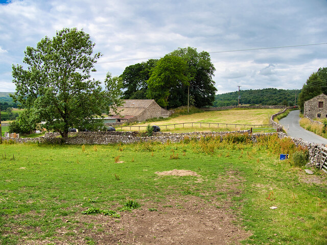
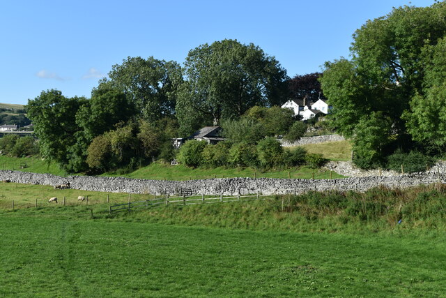
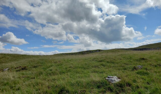
Brazen Gate Woods is a picturesque woodland located in the county of Yorkshire, England. Situated near the village of Brazen Gate, the woods cover an area of approximately 100 acres and are known for their natural beauty and diverse ecosystem.

The woodland is predominantly composed of mixed deciduous trees, including oak, beech, and birch, which create a stunning canopy overhead. The forest floor is adorned with an array of colorful wildflowers and ferns, providing a vibrant and enchanting atmosphere.

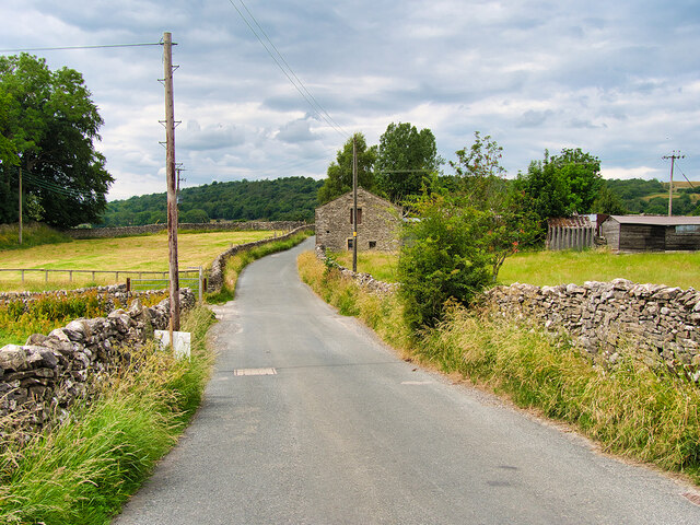
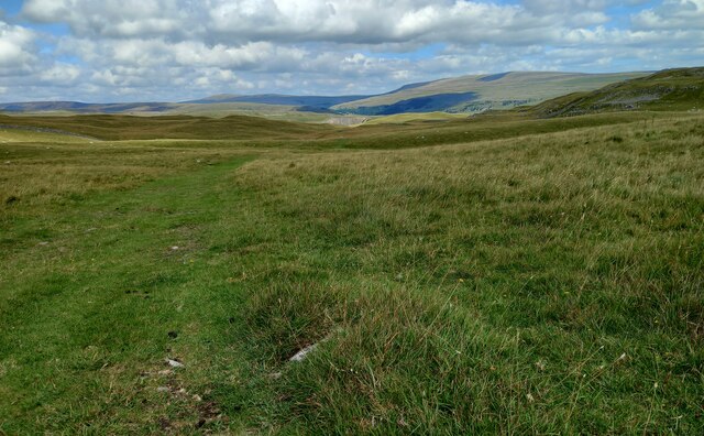
Brazen Gate Woods offer numerous walking trails that wind through the forest, allowing visitors to explore the area at their own pace. These paths are well-maintained and provide easy access to the various sections of the woods. Along the way, visitors may encounter small streams and ponds, adding to the tranquility of the surroundings.

The woods are home to a wide variety of wildlife, including deer, foxes, badgers, and a rich bird population. Nature enthusiasts and birdwatchers are often drawn to the area to observe these creatures in their natural habitat.

Brazen Gate Woods also hold historical significance, with remnants of ancient settlements and archaeological sites scattered throughout the area. These remnants offer a glimpse into the rich history and cultural heritage of the region.

Overall, Brazen Gate Woods is a captivating destination for those seeking a peaceful retreat into nature. Its beauty, biodiversity, and historical significance make it a must-visit location for both locals and tourists alike.

If you have any feedback on the listing, please let us know in the comments section below.

Brazen Gate Woods Images

Images are sourced within 2km of 54.080278/-2.030763 or Grid Reference SD9864. Thanks to Geograph Open Source API. All images are credited.

Grassington, Sikes Lathe
Grass Wood Lane
Grass Wood Lane
Riverside field and path, Grassington
A walk from Grassington to Kelber and return [70] The path continues towards Grassington.
After leaving the town, the walk crosses Grassington Moor via Bare House to Bycliffe Road. The road is followed past Kelber Gate towards Scot Gate Lane. The route then follows the long distance Dales Way back to Grassington. About 6½ miles.
A walk from Grassington to Kelber and return [70]
The path continues towards Grassington. After leaving the town, the walk crosses Grassington Moor via Bare House to Bycliffe Road. The road is followed past Kelber Gate towards Scot Gate Lane. The route then follows the long distance Dales Way back to Grassington. About 6½ miles.
A walk from Grassington to Kelber and return [71] The path, part of the long distance Dales Way, continues towards Grassington, now seen in the distance.
After leaving the town, the walk crosses Grassington Moor via Bare House to Bycliffe Road. The road is followed past Kelber Gate towards Scot Gate Lane. The route then follows the long distance Dales Way back to Grassington. About 6½ miles.
A walk from Grassington to Kelber and return [71]
The path, part of the long distance Dales Way, continues towards Grassington, now seen in the distance. After leaving the town, the walk crosses Grassington Moor via Bare House to Bycliffe Road. The road is followed past Kelber Gate towards Scot Gate Lane. The route then follows the long distance Dales Way back to Grassington. About 6½ miles.
Grassington features [4] The River Wharfe, looking upstream from Grassington Bridge which carries Station Road, B6265.
Grassington is a small market town, receiving its charter in 1282. The town is located in Wharfedale in the Yorkshire Dales National Park, some 7½ miles north of Skipton. Lead mining brought prosperity to the town in the 18th and 19th centuries. The town now attracts many tourists, especially walkers, with some excellent routes on the surrounding fells.
Grassington features [4]
The River Wharfe, looking upstream from Grassington Bridge which carries Station Road, B6265. Grassington is a small market town, receiving its charter in 1282. The town is located in Wharfedale in the Yorkshire Dales National Park, some 7½ miles north of Skipton. Lead mining brought prosperity to the town in the 18th and 19th centuries. The town now attracts many tourists, especially walkers, with some excellent routes on the surrounding fells.
Limestone Knoll on Malham Moor The public bridleway from Malham Moor Lane towards Mastiles Lane passes to the west of this limestone knoll which has a marked antiquity on the map, a "Homestead", smaller than a "Settlement" and perilously close to the edge of Threshfield Quarry, which is just over the horizon on the right of the photograph and has removed a huge chunk of the reef knoll. Further away, the cloud is just enveloping the top of Great Whernside beyond Wharfedale in the increasingly bitter westerly wind.
Limestone Knoll on Malham Moor
The public bridleway from Malham Moor Lane towards Mastiles Lane passes to the west of this limestone knoll which has a marked antiquity on the map, a "Homestead", smaller than a "Settlement" and perilously close to the edge of Threshfield Quarry, which is just over the horizon on the right of the photograph and has removed a huge chunk of the reef knoll. Further away, the cloud is just enveloping the top of Great Whernside beyond Wharfedale in the increasingly bitter westerly wind.
Threshfield
Threshfield
Ruin near Chester Wood
Chapel House Lodge
Chapel House Lodge
Wharfedale near Kirk Bank
Kilnsey, Malham Moor According to the OS benchmark database there was a rivet benchmark cut into a rock on the east side of the bridleway. Various prominent rocks were cleared of grass tufts, but nothing was found.
Kilnsey, Malham Moor
According to the OS benchmark database there was a rivet benchmark cut into a rock on the east side of the bridleway. Various prominent rocks were cleared of grass tufts, but nothing was found.
Kilnsey, Malham Moor gatepost The benchmark is cut into a stone gatepost on the east side of the bridleway.
Kilnsey, Malham Moor gatepost
The benchmark is cut into a stone gatepost on the east side of the bridleway.
Kilnsey, Malham Moor gatepost There is a benchmark cut into the stone gatepost on the east side of the bridleway.
Kilnsey, Malham Moor gatepost
There is a benchmark cut into the stone gatepost on the east side of the bridleway.
Kilnsey, Malham Moor The rivet benchmark is cut into a rock on the east side of the bridleway.
Kilnsey, Malham Moor
The rivet benchmark is cut into a rock on the east side of the bridleway.
Kilnsey, Malham Moor There is a rivet benchmark cut into the rock on the east side of the bridleway.
Kilnsey, Malham Moor
There is a rivet benchmark cut into the rock on the east side of the bridleway.
Walkers by the Wharfe This is less than a mile from Grassington.
Walkers by the Wharfe
This is less than a mile from Grassington.
The River Wharfe
The River Wharfe
Show me another place!

Brazen Gate Woods is located at Grid Ref: SD9864 (Lat: 54.080278, Lng: -2.030763)

Division: West Riding

Administrative County: North Yorkshire

District: Craven

Police Authority: North Yorkshire

What 3 Words

///hiring.drilling.quintet. Near Grassington, North Yorkshire

Related Wikis

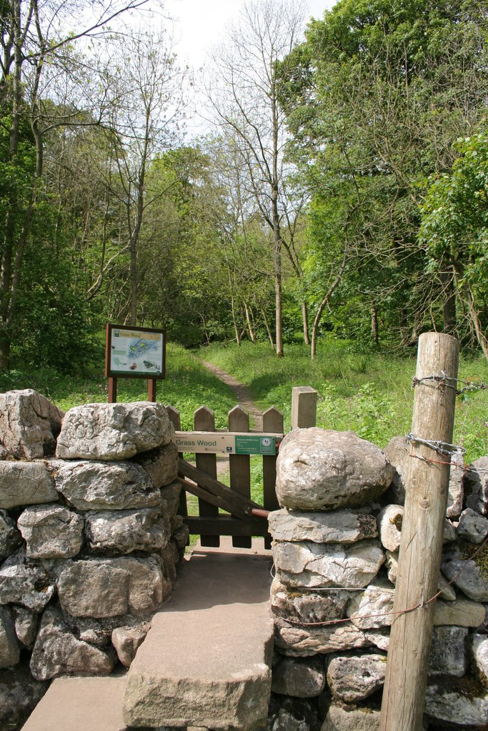
Grass Wood, Wharfedale

Grass Wood is an ancient woodland of 88 hectares (220 acres) in Wharfedale, North Yorkshire, England, that has an exceptional ground flora of woodland...

Threshfield

Threshfield is a small village and civil parish in the Craven district of North Yorkshire, England with a population of 980 residents, reducing to 968...

Upper Wharfedale School

Upper Wharfedale School is a coeducational secondary school located in Threshfield, North Yorkshire, England. The school is named after Wharfedale, one...

Grassington & Threshfield railway station

Grassington & Threshfield railway station (or Threshfield station) was a railway station that served the town of Grassington and village of Threshfield...

Linton Falls Hydro

Linton Falls Hydro is a hydroelectric generating power station located on the Linton Falls Weir of the River Wharfe, near Grassington, North Yorkshire...

Grassington

Grassington is a village and civil parish in North Yorkshire, England. The population of the parish at the 2011 Census was 1,126. Historically part of...

Conistone

Conistone is a small village in the Craven district of North Yorkshire, England. It lies 3 miles (5 km) north of Grassington, 3 miles (5 km) south of Kettlewell...

Conistone with Kilnsey

Conistone with Kilnsey is a civil parish in Wharfedale in the district of Craven, North Yorkshire, England. It contains the villages of Kilnsey and Conistone...

Nearby Amenities

Located within 500m of 54.080278,-2.030763
Parking
Grass Wood
Capacity: 6
Lat/Long: 54.0820887/-2.0246467
Turning Circle
Source: DigitalGlobe-Premium
Lat/Long: 54.0805438/-2.0335796
Parking
Capacity: 2
Lat/Long: 54.0819156/-2.0236438
lime kiln
Archaeological Site: lime_kiln
Historic: archaeological_site
Mineral: limestone
Output: lime
Source: OS sheet 134,1853
Lat/Long: 54.0820139/-2.0375243
lime kiln
Historic: archaeological_site
Source: OS 1853
Lat/Long: 54.08377/-2.0352819
Turning Circle
Source: DigitalGlobe-Premium
Lat/Long: 54.0789718/-2.0370423
Long Ashes Park
Place: village
Lat/Long: 54.0783068/-2.0324385
Bus Stop
Skirethorns - Caravan Park
Bus: yes
Public Transport: platform
Lat/Long: 54.0790903/-2.0275486
Bus Stop
Skirethorns - Caravan Park
Bus: yes
Naptan AtcoCode: 3200YNA01844
Naptan NaptanCode: 32001844
Public Transport: platform
Lat/Long: 54.0791084/-2.0277423
Skirethorns - Caravan Park
Bus: yes
Public Transport: stop_position
Lat/Long: 54.0791439/-2.0276739
Skirethorns - Caravan Park
Bus: yes
Public Transport: stop_position
Lat/Long: 54.0790786/-2.0275907
Bus Stop
Threshfield - Long Ashes Park
Bus: yes
Naptan AtcoCode: 3200YNA96585
Naptan NaptanCode: 32096585
Public Transport: platform
Lat/Long: 54.0785329/-2.0336261
Threshfield - Long Ashes Park
Bus: yes
Public Transport: stop_position
Lat/Long: 54.0785219/-2.0335578
Parking
Lat/Long: 54.0784934/-2.0334898
Power: pole
Lat/Long: 54.0773532/-2.0270687
Power: pole
Lat/Long: 54.0779921/-2.0282623
Power: pole
Lat/Long: 54.0784453/-2.0290817
Power: pole
Lat/Long: 54.0790071/-2.0301975
Power: pole
Lat/Long: 54.0800747/-2.0323084
Power: pole
Lat/Long: 54.0806034/-2.033392
Power: pole
Lat/Long: 54.081081/-2.0336804
Power: pole
Lat/Long: 54.0817717/-2.0340881
Power: pole
Lat/Long: 54.083117/-2.0349276
Power: pole
Lat/Long: 54.0838502/-2.0348203
Barrier: entrance
Source: survey;gps
Lat/Long: 54.0761724/-2.0333518
Barrier: cattle_grid
Lat/Long: 54.0757979/-2.0306134
Barrier: entrance
Source: survey;gps
Lat/Long: 54.0761889/-2.0332947
Barrier: entrance
Source: survey;gps
Lat/Long: 54.0762103/-2.033333
The data included in this document is from www.openstreetmap.org. The data is made available under ODbL.

Have you been to Brazen Gate Woods?

Leave your review of Brazen Gate Woods below (or comments, questions and feedback).