Huntington Belt
Wood, Forest in Staffordshire South Staffordshire
England
Huntington Belt
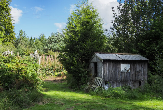
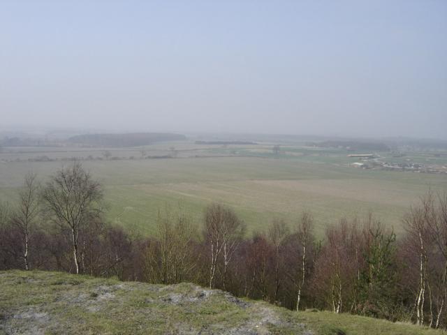
Huntington Belt is a small village located in the county of Staffordshire, England. Situated within the beautiful countryside, it is known for its abundant woodlands and lush forests. The village is surrounded by picturesque landscapes, making it an ideal destination for nature enthusiasts and those seeking tranquility.
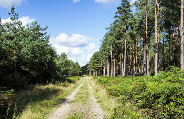
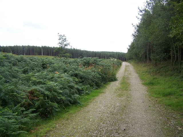
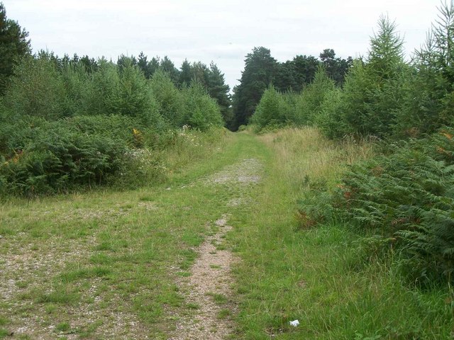
The woodlands in Huntington Belt are diverse and rich in flora and fauna. The dense forests provide a home to a wide range of wildlife, including deer, foxes, and various bird species. The area is also known for its ancient trees, some of which are centuries old and have historical significance.
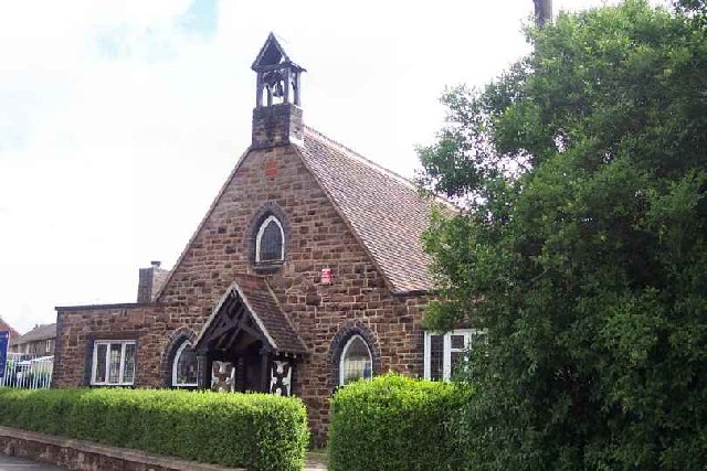
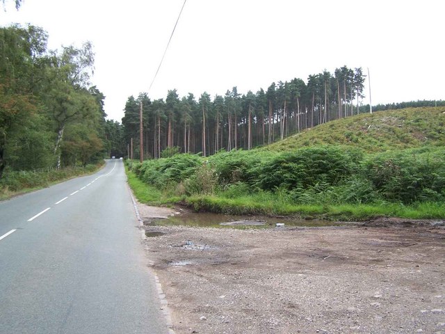
The village itself is quaint and charming, with traditional cottages and a close-knit community. It offers a peaceful retreat away from the hustle and bustle of city life. Residents and visitors can enjoy long walks or bike rides through the woodlands, taking in the fresh air and stunning scenery.
Huntington Belt is also known for its conservation efforts and commitment to preserving its natural surroundings. The community actively participates in initiatives to protect and maintain the woodlands, ensuring they remain a haven for wildlife and a source of natural beauty for future generations.
In addition to its natural attractions, Huntington Belt is well-connected to nearby towns and cities, providing easy access to amenities and services. Overall, this Staffordshire village offers a harmonious blend of natural splendor and a close-knit community, making it an idyllic destination for those seeking a peaceful retreat surrounded by woodlands and forests.
If you have any feedback on the listing, please let us know in the comments section below.
Huntington Belt Images
Images are sourced within 2km of 52.719833/-2.0297593 or Grid Reference SJ9813. Thanks to Geograph Open Source API. All images are credited.


Huntington Belt is located at Grid Ref: SJ9813 (Lat: 52.719833, Lng: -2.0297593)
Administrative County: Staffordshire
District: South Staffordshire
Police Authority: Staffordshire
What 3 Words
///nerd.inert.notebook. Near Cannock, Staffordshire
Nearby Locations
Related Wikis

Pye Green
Pye Green is part of Hednesford, Staffordshire, England, running from Chadsmoor and Hednesford, across the Pye Green valley and to the edge of The Chase...
Huntington, Staffordshire
Huntington is a civil parish and former mining village in Staffordshire, on the outskirts of Cannock Chase. It lies on the A34 road just north of Cannock...
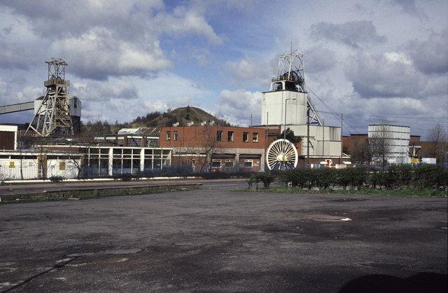
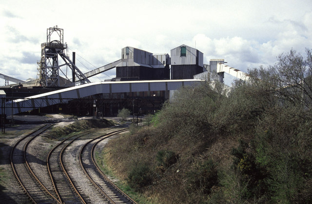
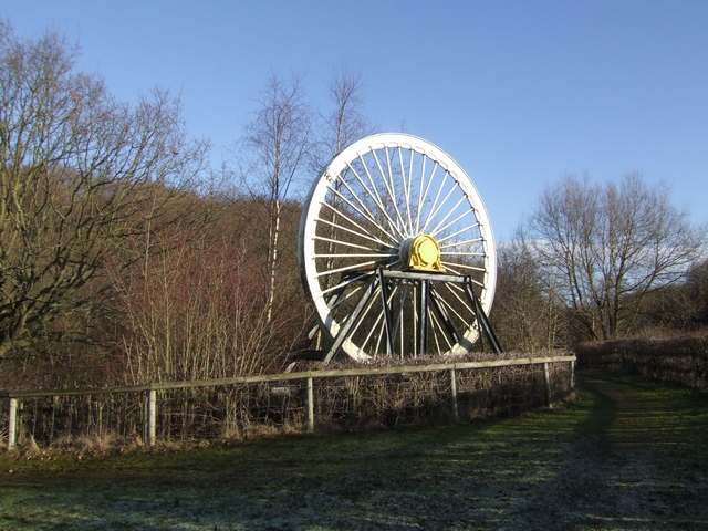
Littleton Colliery
Littleton Colliery was a deep coal mine situated two miles north of Cannock on the A34 in the village of Huntington. The colliery closed on 3 December...

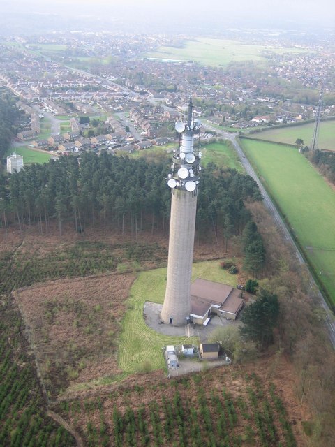
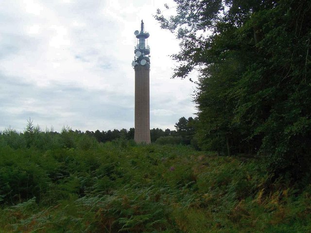
Pye Green BT Tower
Pye Green BT Tower is a 96.9-metre (318 ft) tall telecommunication tower built of reinforced concrete at Pye Green, Staffordshire, England (grid reference...
Staffordshire University Academy
Staffordshire University Academy is a secondary school and sixth form located in Marston Road, Hednesford, Cannock, Staffordshire, England. The school...
Brindley Heath
Brindley Heath is an area of heath land on Cannock Chase situated between Hednesford and Rugeley in the Cannock Chase District of Staffordshire, England...

Chadsmoor
Chadsmoor () is a historic village in the Cannock Chase District in Staffordshire, England and is situated between the towns of Cannock and Hednesford...
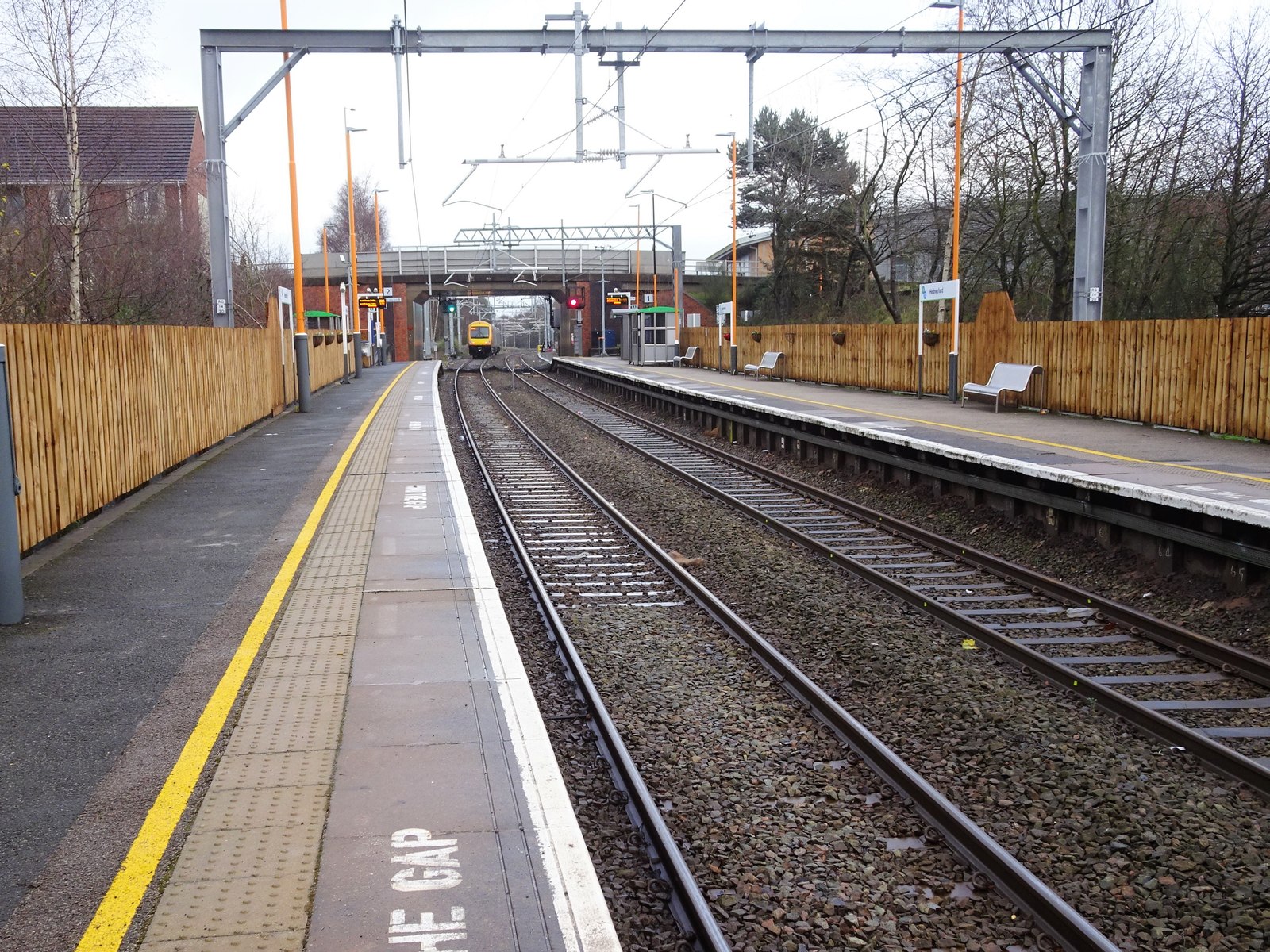
Hednesford railway station
Hednesford railway station serves the town of Hednesford in Staffordshire, England. The station, and all trains serving it, are operated by West Midlands...
Nearby Amenities
Located within 500m of 52.719833,-2.0297593Have you been to Huntington Belt?
Leave your review of Huntington Belt below (or comments, questions and feedback).