Herpath Wood

Wood, Forest in Northumberland

England

Herpath Wood

Groove Well Until recently this well was not on a public right of way but this was remedied in 2017 and there is now a signpost to it 50 m away on the minor road.  The path incorporates a double stile and stone steps down to the well, which is only some 30 m from the River Wansbeck seen in the background.  See also
<a href="https://www.geograph.org.uk/photo/7000763">NY9984 : Groove Well</a>
Groove Well Credit: Leanmeanmo

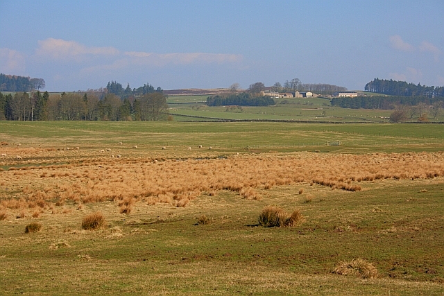
Herpath Wood is a picturesque forest located in Northumberland, a county in the northeast of England. Spanning an area of approximately 200 acres, the wood is nestled within the rural landscape, offering visitors a tranquil and immersive experience in nature.

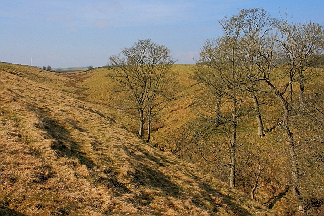
The wood is primarily composed of broadleaf trees, including oak, beech, and ash, creating a rich and diverse ecosystem. The dense canopy provides shelter to a variety of wildlife, such as deer, squirrels, and a myriad of bird species. It is a haven for birdwatching enthusiasts, who can spot species like the great spotted woodpecker, tawny owl, and chiffchaff.

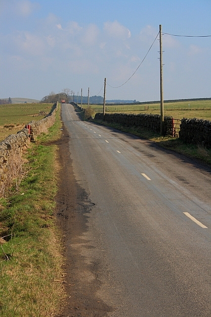
Walking trails wind through the wood, allowing visitors to explore its many wonders. The paths are well-maintained and offer both easy strolls and more challenging routes for the adventurous. Along the way, visitors can discover hidden clearings, babbling brooks, and carpets of wildflowers.

Herpath Wood also has a fascinating history. It is believed to have been in existence since medieval times and has been managed by local conservation groups for many years. The wood has witnessed centuries of change and remains a valuable remnant of Northumberland's ancient woodland heritage.

The wood is open to the public year-round, and visitors can enjoy the changing seasons, from vibrant spring blooms to the golden hues of autumn. Whether it's for a leisurely walk, wildlife spotting, or simply to immerse oneself in the beauty of nature, Herpath Wood offers a serene escape into the heart of Northumberland's countryside.

If you have any feedback on the listing, please let us know in the comments section below.
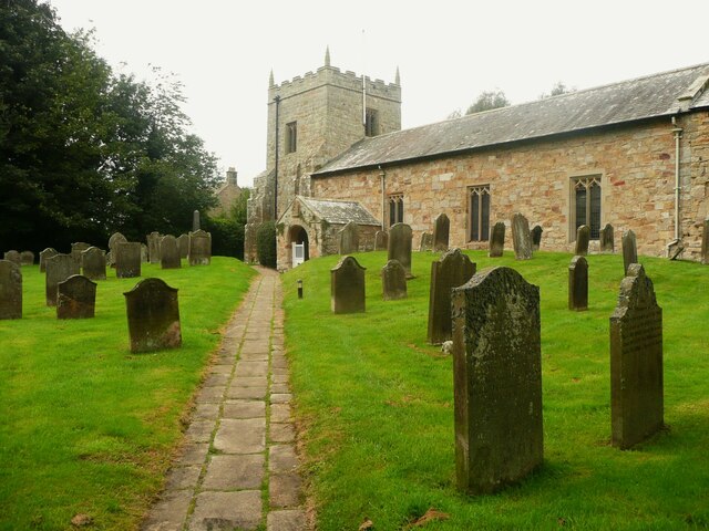
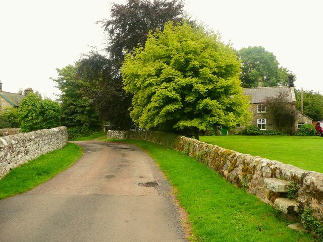
Herpath Wood Images

Images are sourced within 2km of 55.164076/-2.0292914 or Grid Reference NY9885. Thanks to Geograph Open Source API. All images are credited.

Groove Well Until recently this well was not on a public right of way but this was remedied in 2017 and there is now a signpost to it 50 m away on the minor road.  The path incorporates a double stile and stone steps down to the well, which is only some 30 m from the River Wansbeck seen in the background.  See also
<a href="https://www.geograph.org.uk/photo/7000763">NY9984 : Groove Well</a>
Groove Well
Until recently this well was not on a public right of way but this was remedied in 2017 and there is now a signpost to it 50 m away on the minor road. The path incorporates a double stile and stone steps down to the well, which is only some 30 m from the River Wansbeck seen in the background. See also NY9984 : Groove Well
Groove Well Not very enticing.  The water was cloudy and smelled sulphurous.  I didn't taste it. See also
<a href="https://www.geograph.org.uk/photo/7000758">NY9984 : Groove Well</a>
Groove Well
Not very enticing. The water was cloudy and smelled sulphurous. I didn't taste it. See also NY9984 : Groove Well
Sundial on the porch of St. Bartholomew's Church A splendid example in good condition.  It is set into the surface at a slight angle, presumably so that it faces due south.  The inscription reads 'HORA PARS VITÆ' (An hour is a portion of life) and is dated 1764.

The graveyard is the last resting place of Sir Charles Algernon Parsons, inventor of the modern turbine.
Sundial on the porch of St. Bartholomew's Church
A splendid example in good condition. It is set into the surface at a slight angle, presumably so that it faces due south. The inscription reads 'HORA PARS VITÆ' (An hour is a portion of life) and is dated 1764. The graveyard is the last resting place of Sir Charles Algernon Parsons, inventor of the modern turbine.
House on the edge of Kirkwhelpington
Ford and Footbridge, Whitridge Sike
Bus Stop and Long Bench Seat Does this indicate a very long bus queue?
Bus Stop and Long Bench Seat
Does this indicate a very long bus queue?
Village Hall and Coal Deliveries Coal not for the Village Hall since there aren't any chimneys.
The Village hall also houses the Post Office.
Village Hall and Coal Deliveries
Coal not for the Village Hall since there aren't any chimneys. The Village hall also houses the Post Office.
Playing Space
Playing Space
St Bartholomew's Church, Kirkwhelpington St Bartholomew's church was built in the 13th century, but has been altered since, mainly in the 15th and 19th centuries. It is the parish church of Kirkwhelpington. St Bartholomew's church is a Grade II* Listed Building protected by law.
<span class="nowrap"><a title="https://keystothepast.info/search-records/results-of-search/results-of-search-2/site-details/?PRN=N9575" rel="nofollow ugc noopener" href="https://keystothepast.info/search-records/results-of-search/results-of-search-2/site-details/?PRN=N9575">Link</a><img style="margin-left:2px;" alt="External link" title="External link - shift click to open in new window" src="https://s1.geograph.org.uk/img/external.png" width="10" height="10"/></span>
St Bartholomew's Church, Kirkwhelpington
St Bartholomew's church was built in the 13th century, but has been altered since, mainly in the 15th and 19th centuries. It is the parish church of Kirkwhelpington. St Bartholomew's church is a Grade II* Listed Building protected by law. LinkExternal link
St Bartholomew, Tower and Porch, Kirkwhelpington The church is listed, Grade II star.
St Bartholomew, Tower and Porch, Kirkwhelpington
The church is listed, Grade II star.
Path through the churchyard, Kirkwhelpington Church
Grave slab on bulbous legs Unfortunately I can't remember whereabouts in the churchyard this is, but I think it is near the north-west corner. It is surrounded by a tall fence.
Grave slab on bulbous legs
Unfortunately I can't remember whereabouts in the churchyard this is, but I think it is near the north-west corner. It is surrounded by a tall fence.
Lane past the recreation ground, Kirkwhelpington The old 1:2500 map captions the field 'Recreation ground and shows a path around it like a running track.  Access from this lane is by step-stile. The address of the house in the background is 'The Green'. However, I took this photograph mainly because I liked the tree with the bright green leaves.
Lane past the recreation ground, Kirkwhelpington
The old 1:2500 map captions the field 'Recreation ground and shows a path around it like a running track. Access from this lane is by step-stile. The address of the house in the background is 'The Green'. However, I took this photograph mainly because I liked the tree with the bright green leaves.
Shoe tree In the middle of nowhere, literally in 'The Wilds of Wannie'.
Shoe tree
In the middle of nowhere, literally in 'The Wilds of Wannie'.
Pasture near Cornhills
Rough Pasture Along the Ray Burn Blackhalls in the distance (<a href="https://www.geograph.org.uk/gridref/NY9785">NY9785</a>).
Rough Pasture Along the Ray Burn
Blackhalls in the distance (NY9785).
Road to Knowesgate
Road to Knowesgate
Tributary of Ray Burn
Show me another place!

Herpath Wood is located at Grid Ref: NY9885 (Lat: 55.164076, Lng: -2.0292914)

Unitary Authority: Northumberland

Police Authority: Northumbria

What 3 Words

///tint.couple.glossed. Near Rothley, Northumberland

Nearby Locations

Herpath Wood Rowley Hill

Related Wikis

Knowesgate railway station

Knowesgate was a stone-built railway station with goods sidings in Northumberland, England on the Wansbeck Railway between Morpeth and Reedsmouth, which...

Little Harle Tower

Little Harle Tower is a Grade II* listed privately owned country house with 15th-century origins, located at Little Harle, Kirkwhelpington, Northumberland...

Kirkwhelpington

Kirkwhelpington is a village and civil parish in the English county of Northumberland about 13 miles (21 km) northeast of Hexham. It is on the River Wansbeck...

Northumberland

Northumberland ( nor-THUM-bər-lənd) is a ceremonial county in North East England, bordering Scotland. It is bordered by the Scottish Borders to the north...

Have you been to Herpath Wood?

Leave your review of Herpath Wood below (or comments, questions and feedback).