Toddsnook Wood
Wood, Forest in Northumberland
England
Toddsnook Wood
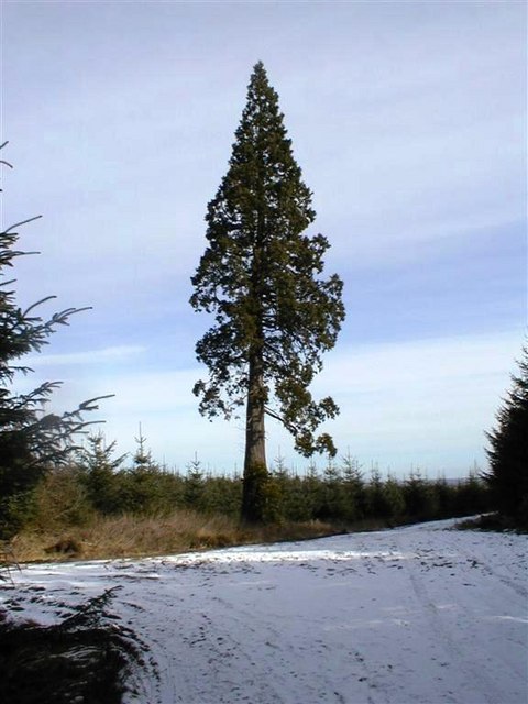
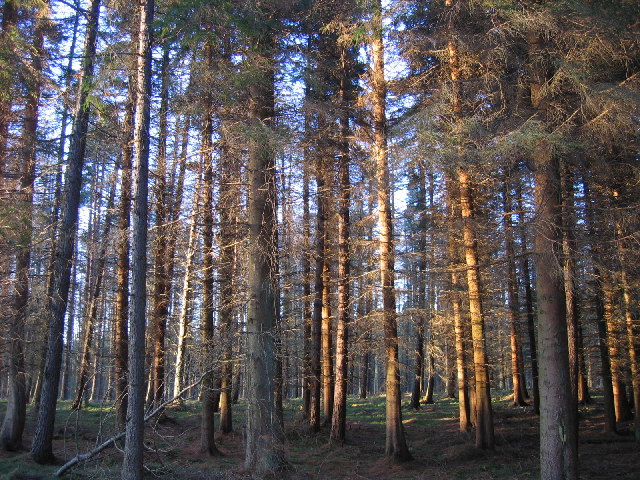
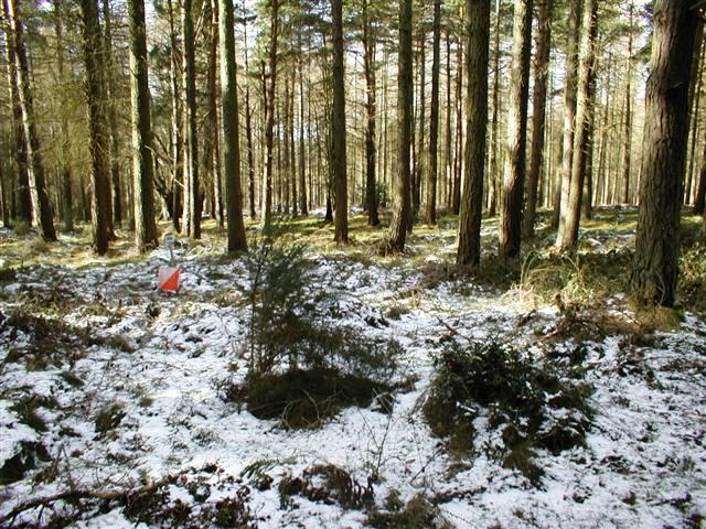
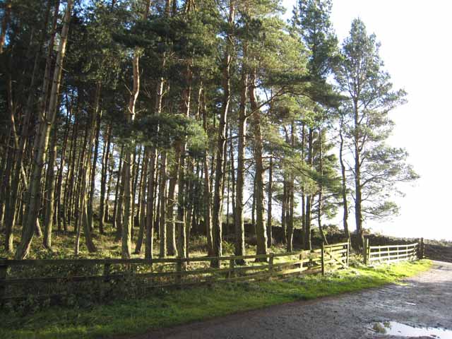
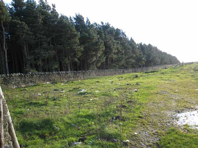
Toddsnook Wood is a picturesque woodland located in the county of Northumberland, England. Covering an area of approximately 100 hectares, this enchanting forest is nestled amidst the rolling hills and lush valleys of the North Pennines Area of Outstanding Natural Beauty.
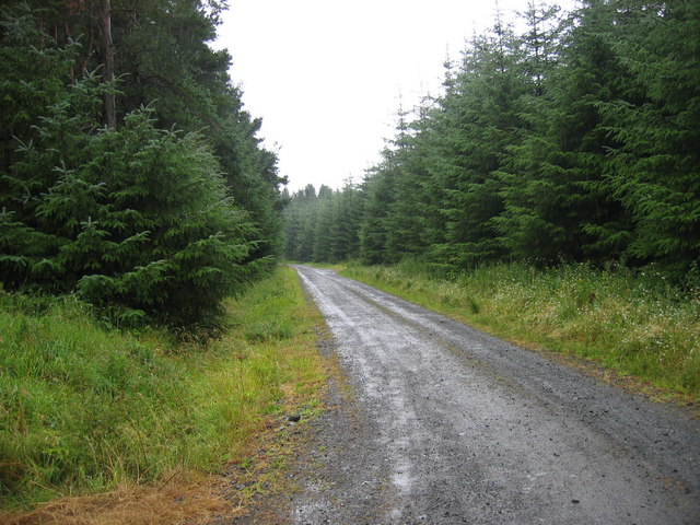
The wood is characterized by a diverse mix of tree species, including oak, birch, beech, and rowan, creating a rich and vibrant ecosystem. The dense canopy provides a haven for a wide array of flora and fauna, making it a popular destination for nature enthusiasts and wildlife photographers alike.
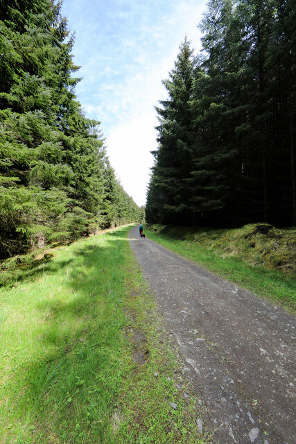
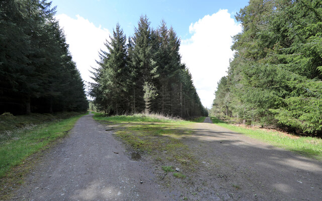
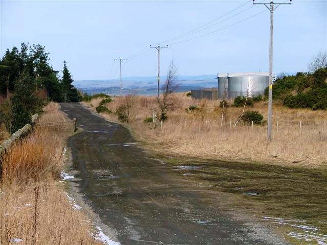
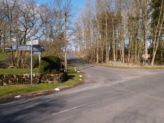
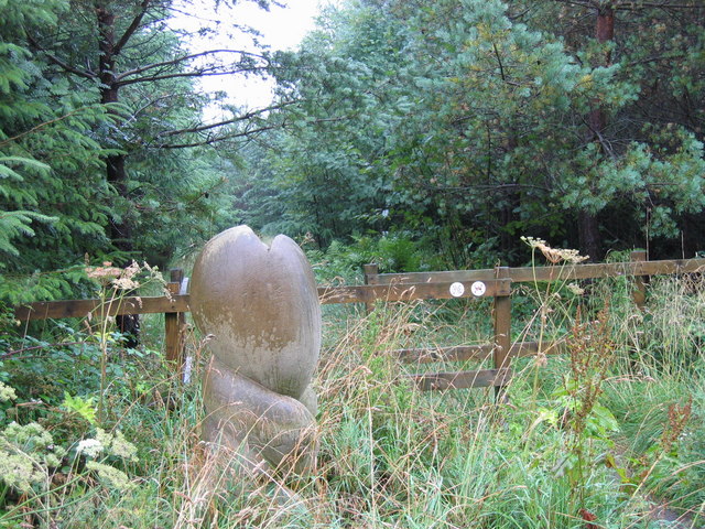
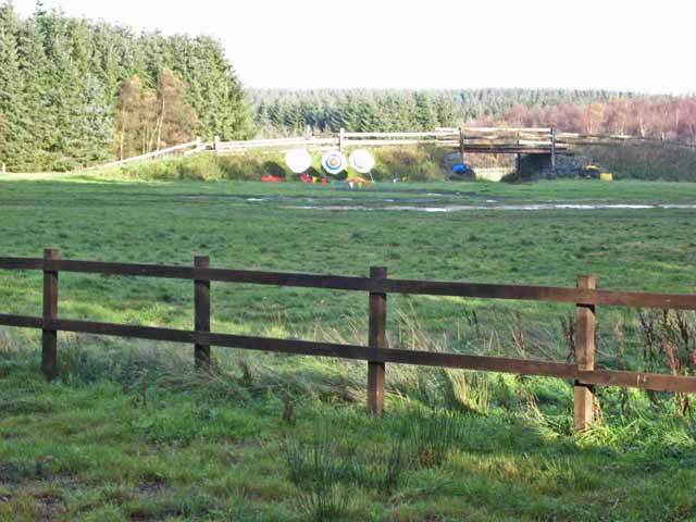
Tranquil walking trails wind their way through the wood, offering visitors the opportunity to immerse themselves in the beauty of their surroundings. The paths meander past babbling brooks, ancient stone walls, and carpets of wildflowers, creating a truly idyllic setting.
Toddsnook Wood is also home to a variety of wildlife, with sightings of red squirrels, badgers, and numerous species of birds being common. Birdwatchers will be particularly delighted by the presence of woodpeckers, nuthatches, and tawny owls.
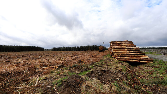
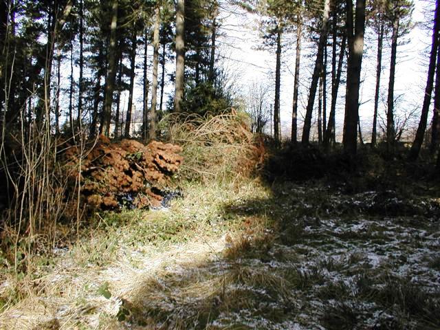
In addition to its natural beauty, the wood has historical significance as well. The remnants of an old charcoal hearth can be found deep within the forest, serving as a reminder of its past industrial use.
Overall, Toddsnook Wood in Northumberland is a captivating destination that combines natural beauty, wildlife, and a touch of history. It offers visitors a peaceful retreat from the hustle and bustle of everyday life, allowing them to connect with nature and experience the tranquility of the wood.
If you have any feedback on the listing, please let us know in the comments section below.
Toddsnook Wood Images
Images are sourced within 2km of 54.901547/-2.0290365 or Grid Reference NY9856. Thanks to Geograph Open Source API. All images are credited.
Toddsnook Wood is located at Grid Ref: NY9856 (Lat: 54.901547, Lng: -2.0290365)
Unitary Authority: Northumberland
Police Authority: Northumbria
What 3 Words
///kindest.translated.unrated. Near Slaley, Northumberland
Nearby Locations
Related Wikis

Colpitts Grange
Colpitts Grange is a hamlet in Northumberland, England. It is about 7 miles (11 km) to the south-east of Hexham. == Governance == Colpitts Grange is in...

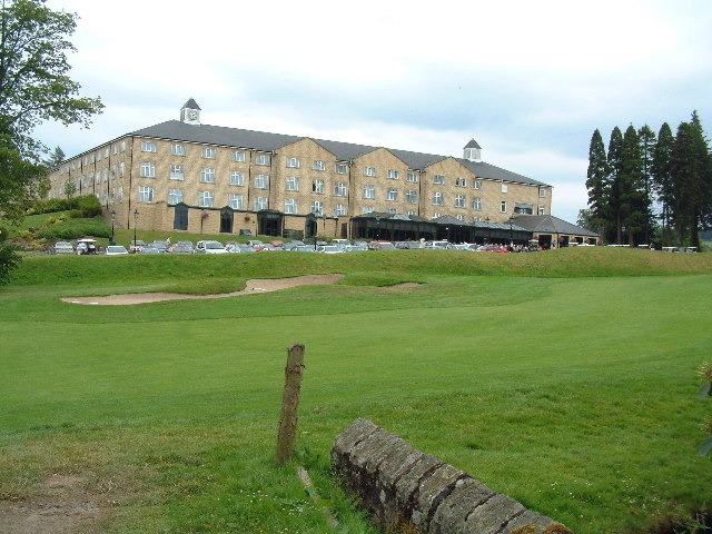
Slaley Hall
Slaley Hall is a country house golf resort in Northumberland in North East England, built by local developers Seamus O'Carroll and John Rourke which hosted...

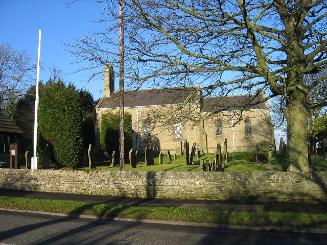
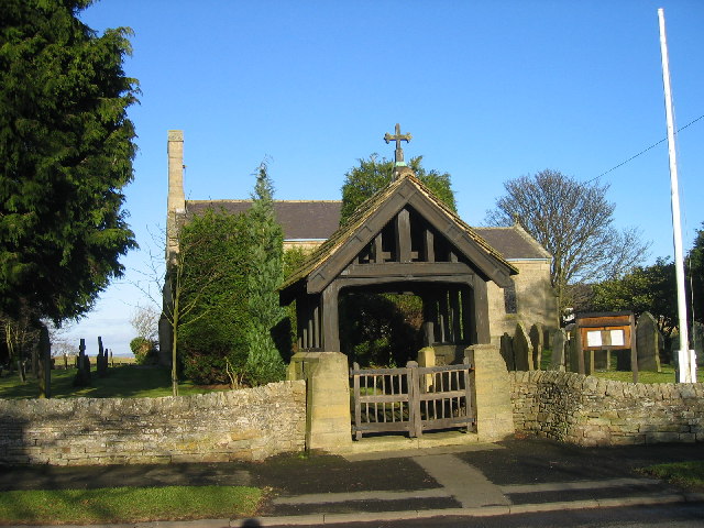
Slaley, Northumberland
Slaley is a village in Northumberland, England. It is situated to the southeast of Hexham. It is surrounded by the following villages: Ruffside, Whitley...

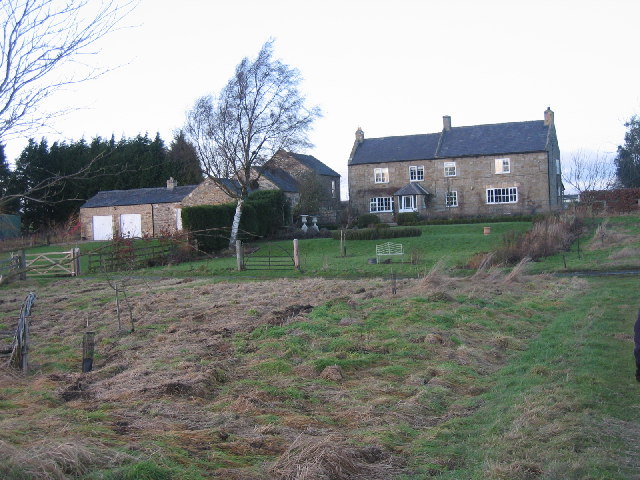
Healey, Northumberland
Healey is a rural estate and civil parish in Northumberland, England, situated between Riding Mill to the north and Slaley to the south. The neo-Norman...

Rowley Burn (Northumberland)
Rowley Burn (also known as Rowley Brook and Ham Burn, NY 9358) is a stream in Northumberland, running around three miles south of Hexham before joining...

Minsteracres
Minsteracres is an 18th-century mansion house, now a Christian retreat centre, in Northumberland, England. It is a Grade II listed building.The house was...

Derwent Reservoir (North East England)
The Derwent Reservoir is a reservoir on the River Derwent, on the border between County Durham and Northumberland, in England. It is west of Consett. It...

Hexhamshire Low Quarter
Hexhamshire Low Quarter is a former civil parish, now in the parish of Hexhamshire, in Northumberland, England. It was situated to the south of Hexham...
Nearby Amenities
Located within 500m of 54.901547,-2.0290365Have you been to Toddsnook Wood?
Leave your review of Toddsnook Wood below (or comments, questions and feedback).