Little Wood
Wood, Forest in Wiltshire
England
Little Wood
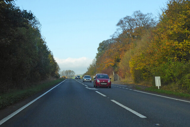
Little Wood is a small forest located in the county of Wiltshire, England. Covering an area of approximately 50 acres, it is nestled within the rolling countryside, just a few miles south of the town of Marlborough. The wood is easily accessible, situated near the A345 road, with a designated car park for visitors.
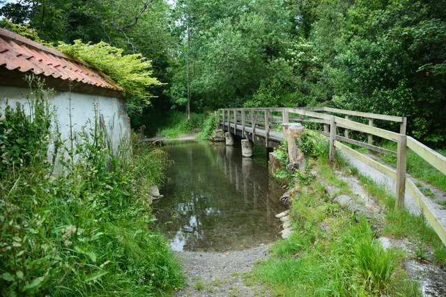
Little Wood boasts a diverse range of tree species, including oak, beech, ash, and birch, creating a rich and vibrant ecosystem. The woodland floor is adorned with a variety of wildflowers and ferns, adding to the area's natural beauty. Additionally, the forest is home to a wide array of wildlife, including deer, squirrels, and numerous species of birds.
Visitors to Little Wood can explore the numerous walking trails that wind through the forest. These well-maintained paths offer a peaceful and serene setting for leisurely strolls, providing opportunities for birdwatching and photography along the way. The wood is well-loved by locals and tourists alike, who appreciate its tranquility and the chance to reconnect with nature.
Little Wood also holds historical significance, as it was once part of a larger estate dating back to the 18th century. There are remnants of old stone walls and structures that hint at its past, adding an intriguing element to the woodland experience.
Overall, Little Wood, Wiltshire, offers a picturesque and tranquil escape for nature enthusiasts and those seeking a respite from the hustle and bustle of everyday life.
If you have any feedback on the listing, please let us know in the comments section below.
Little Wood Images
Images are sourced within 2km of 51.157259/-2.0330667 or Grid Reference ST9739. Thanks to Geograph Open Source API. All images are credited.


Little Wood is located at Grid Ref: ST9739 (Lat: 51.157259, Lng: -2.0330667)
Unitary Authority: Wiltshire
Police Authority: Wiltshire
What 3 Words
///navigate.ribcage.hovered. Near Stockton, Wiltshire
Nearby Locations
Related Wikis
Codford Circle
Codford Circle, also known as Wilsbury Ring, Woldsbury, and possibly Oldbury Camp, is a neolithic hill top enclosure or possible hillfort located on the...

Codford
Codford is a civil parish south of Salisbury Plain in the Wylye Valley in Wiltshire, England. Its settlements are the adjacent villages of Codford St Peter...

Woolstore Theatre
The Woolstore Theatre is a theatre in the village of Codford, Wiltshire, England. The theatre has been operating since 1928, when it was built by Colonel...

Starveall and Stony Down
Starveall and Stony Down is a 22.5 hectare biological Site of Special Scientific Interest in the parishes of Codford and Wylye, Wiltshire, England, notified...
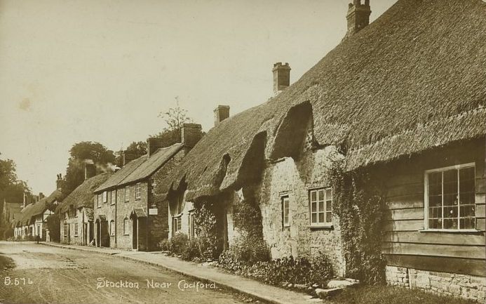
Stockton, Wiltshire
Stockton is a small village and civil parish in the Wylye Valley in Wiltshire, England, about 8 miles (13 km) southeast of Warminster. The parish includes...
Greenways School
Greenways School, also known as Greenways Preparatory School, was an English prep school, founded at Bognor Regis, Sussex, before the Second World War...
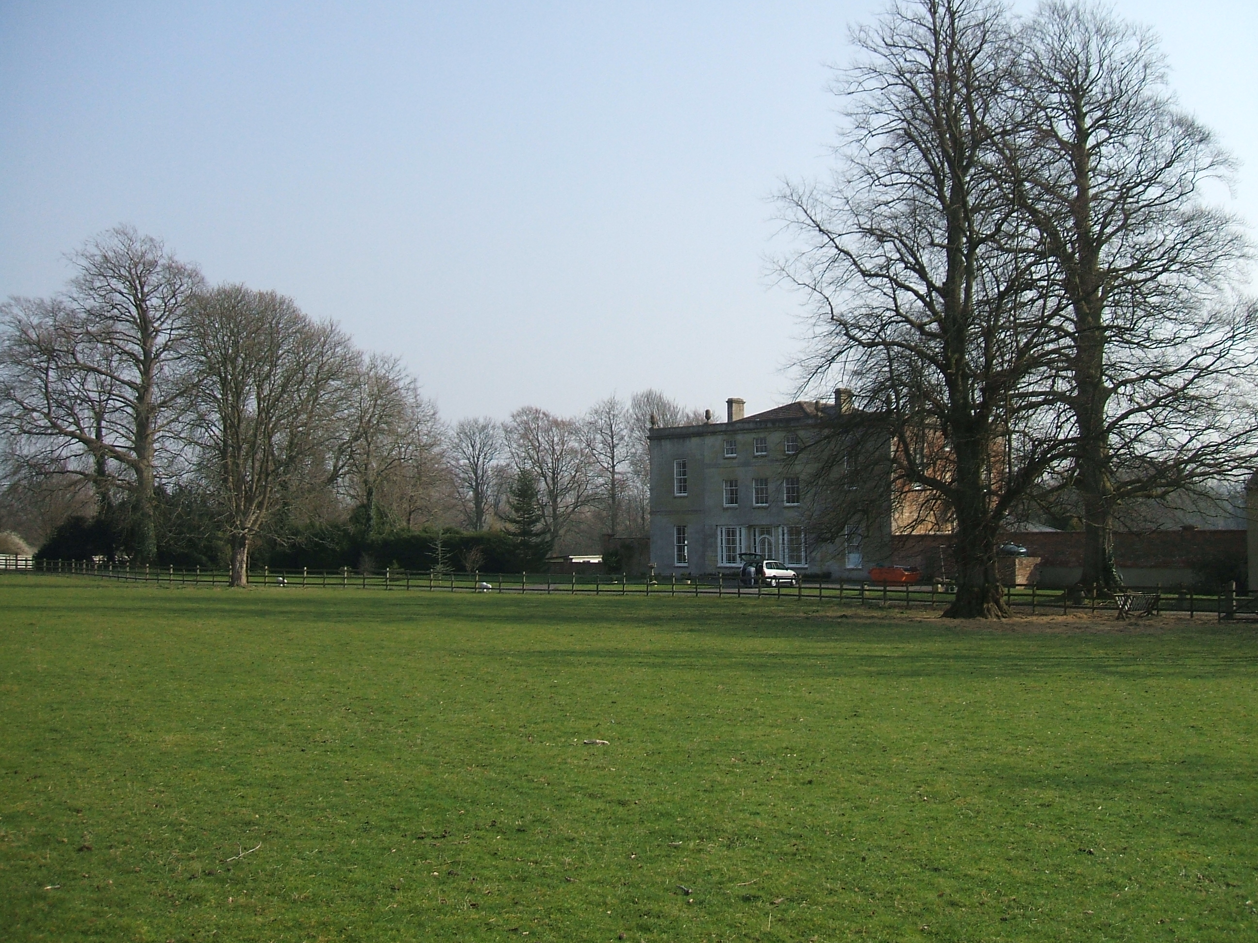
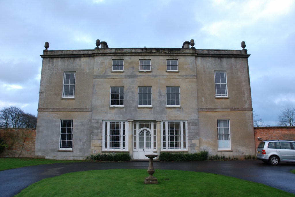
Ashton Gifford House
Ashton Gifford House is a Grade II listed country house in the hamlet of Ashton Gifford, part of the civil parish of Codford in the English county of Wiltshire...

Sherrington
Sherrington is a small village and civil parish on the River Wylye in Wiltshire, England. The part of the Great Ridge Wood known as Snailcreep Hanging...
Nearby Amenities
Located within 500m of 51.157259,-2.0330667Have you been to Little Wood?
Leave your review of Little Wood below (or comments, questions and feedback).