Cavan's Wood
Wood, Forest in Staffordshire South Staffordshire
England
Cavan's Wood
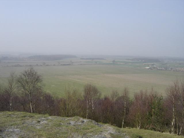
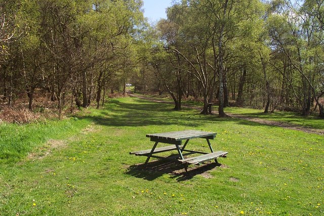
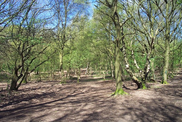
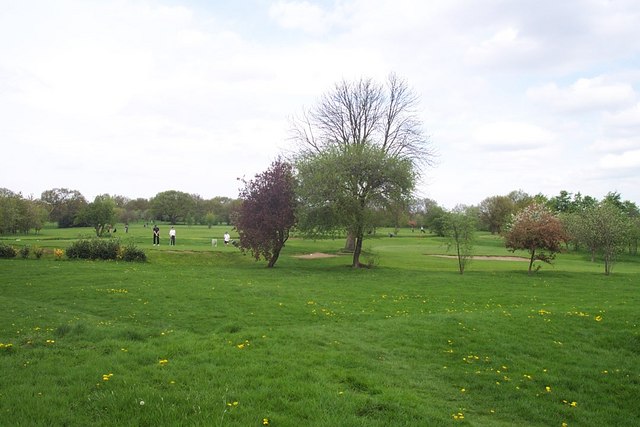
Cavan's Wood is a sprawling forest located in Staffordshire, England. Covering an extensive area of lush greenery, the wood is a popular destination for nature enthusiasts and outdoor adventurers alike. It is situated near the town of Cavan's Hill, lending its name to the woodland.
The forest boasts a diverse range of flora and fauna, making it a haven for wildlife. Towering oak, beech, and birch trees dominate the landscape, providing a picturesque setting for visitors. The woodland floor is carpeted with an array of wildflowers, creating a vibrant and colorful scene during the spring and summer months.
Cavan's Wood is known for its extensive network of walking trails and paths, offering visitors the opportunity to explore its beauty at their own pace. These trails cater to all levels of fitness and provide a variety of routes, from leisurely strolls to more challenging hikes. Explorers can discover hidden streams, tranquil ponds, and even a small waterfall nestled within the wood, adding to its charm.
The wood is also home to a multitude of wildlife species. Birdwatchers can spot a variety of feathered inhabitants, including woodpeckers, owls, and various songbirds. Deer, badgers, and foxes are also known to roam the forest, adding a touch of enchantment to any visit.
Cavan's Wood is a true gem of Staffordshire, providing a tranquil escape from the hustle and bustle of everyday life. Its natural beauty and abundant wildlife make it a must-visit destination for nature lovers and those seeking a peaceful retreat in the heart of the countryside.
If you have any feedback on the listing, please let us know in the comments section below.
Cavan's Wood Images
Images are sourced within 2km of 52.706931/-2.034161 or Grid Reference SJ9712. Thanks to Geograph Open Source API. All images are credited.


Cavan's Wood is located at Grid Ref: SJ9712 (Lat: 52.706931, Lng: -2.034161)
Administrative County: Staffordshire
District: South Staffordshire
Police Authority: Staffordshire
What 3 Words
///zealous.recent.fight. Near Cannock, Staffordshire
Nearby Locations
Related Wikis
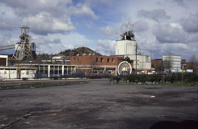
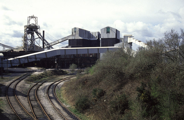
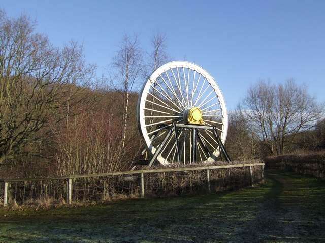
Littleton Colliery
Littleton Colliery was a deep coal mine situated two miles north of Cannock on the A34 in the village of Huntington. The colliery closed on 3 December...
Huntington, Staffordshire
Huntington is a civil parish and former mining village in Staffordshire, on the outskirts of Cannock Chase. It lies on the A34 road just north of Cannock...

Cardinal Griffin Catholic College
Cardinal Griffin Catholic College is a coeducational Catholic Secondary school and sixth form located in Cannock, Staffordshire, England. == History... ==

Chadsmoor
Chadsmoor () is a historic village in the Cannock Chase District in Staffordshire, England and is situated between the towns of Cannock and Hednesford...

Staffordshire University Academy
Staffordshire University Academy is a secondary school and sixth form located in Marston Road, Hednesford, Cannock, Staffordshire, England. The school...
Cannock Chase High School
Cannock Chase High School is a secondary school with academy status in Cannock, Staffordshire. The school is situated just north of the town centre, towards...
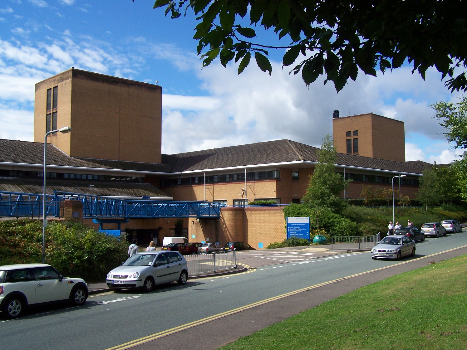
Cannock Chase Hospital
Cannock Chase Hospital is a community hospital in Cannock Chase, Staffordshire. It is managed by Royal Wolverhampton NHS Trust. == History == The facility...
Pye Green
Pye Green is part of Hednesford, Staffordshire, England, running from Chadsmoor and Hednesford, across the Pye Green valley and to the edge of The Chase...
Nearby Amenities
Located within 500m of 52.706931,-2.034161Have you been to Cavan's Wood?
Leave your review of Cavan's Wood below (or comments, questions and feedback).