Beukley Covert
Wood, Forest in Northumberland
England
Beukley Covert

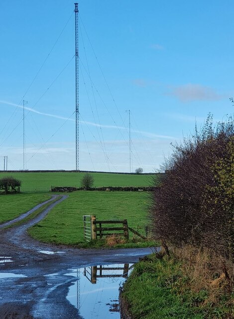
Beukley Covert is a picturesque woodland area located in Northumberland, England. Spread across a vast expanse, this dense forest is a haven for nature enthusiasts and outdoor adventurers alike. The covert is situated in close proximity to the village of Beukley, which lends its name to this beautiful woodland.
With its towering trees and lush vegetation, Beukley Covert offers a serene and tranquil environment for visitors to explore. The woodland is predominantly comprised of native species such as oak, beech, and birch, creating a diverse and thriving ecosystem. The forest floor is carpeted with a rich layer of mosses, ferns, and wildflowers, providing a vibrant burst of color throughout the seasons.
The area is home to a wide variety of wildlife, making it a prime spot for birdwatching and animal spotting. Visitors may be lucky enough to catch a glimpse of red squirrels, roe deer, or even the elusive otter that occasionally frequents the nearby river.
Several well-marked trails wind their way through Beukley Covert, allowing visitors to explore the forest at their own pace. These paths cater to both casual strollers and experienced hikers, offering a range of difficulty levels. Along the way, walkers can enjoy breathtaking views of the surrounding countryside and may stumble upon hidden glades or bubbling streams.
Beukley Covert is a true gem nestled within the Northumberland landscape, offering a peaceful retreat for those seeking solace in nature's embrace. Whether for a leisurely stroll, a family picnic, or a more adventurous hike, this woodland sanctuary promises an enchanting experience for all who visit.
If you have any feedback on the listing, please let us know in the comments section below.
Beukley Covert Images
Images are sourced within 2km of 55.030577/-2.0404256 or Grid Reference NY9770. Thanks to Geograph Open Source API. All images are credited.


Beukley Covert is located at Grid Ref: NY9770 (Lat: 55.030577, Lng: -2.0404256)
Unitary Authority: Northumberland
Police Authority: Northumbria
What 3 Words
///flanks.passenger.blankets. Near Acomb, Northumberland
Nearby Locations
Related Wikis

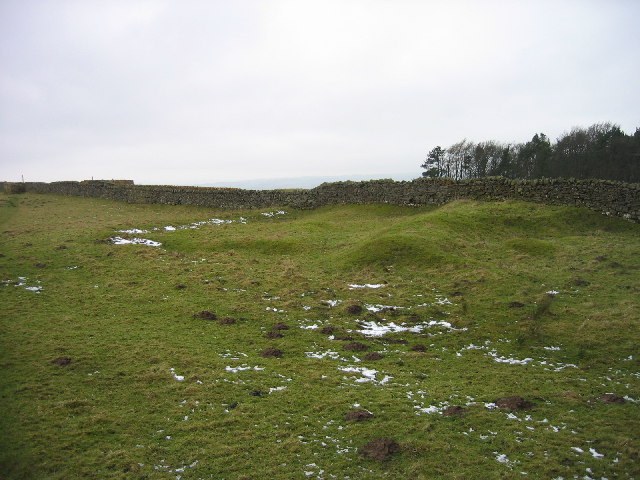
Milecastle 23
Milecastle 23 (Stanley) was a milecastle of the Roman Hadrian's Wall. Its remains exist as a low, grass covered platform with traces of an external ditch...
Bingfield
Bingfield is a village and former civil parish, now in the parish of Whittington, in Northumberland, in England. It is situated to the north of Corbridge...
Milecastle 24
Milecastle 24 (Wall Fell) was a milecastle of the Roman Hadrian's Wall. Its remains exist as a low platform, and are located to the south of the B6318...

Portgate
The Portgate was a fortified gateway, constructed as part of Hadrian's Wall where it crossed the Roman road now known as Dere Street, which preceded Hadrian...
Nearby Amenities
Located within 500m of 55.030577,-2.0404256Have you been to Beukley Covert?
Leave your review of Beukley Covert below (or comments, questions and feedback).