Pit Allotment Wood
Wood, Forest in Northumberland
England
Pit Allotment Wood
Pit Allotment Wood is a picturesque woodland located in Northumberland, England. Covering an area of approximately 50 hectares, the wood is situated near the village of Pit Allotment, which lies about 10 miles northwest of the town of Hexham.
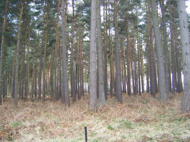
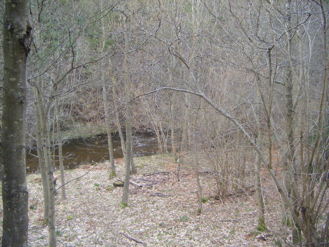
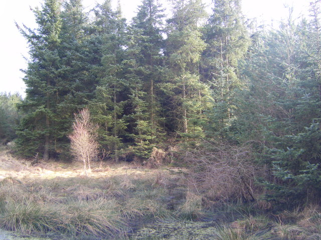
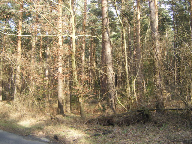
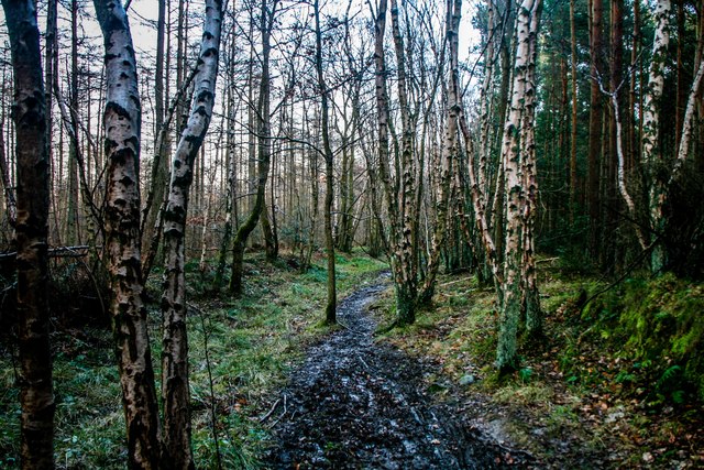
This ancient woodland is predominantly made up of a mixture of broadleaf trees, including oak, beech, and ash. The dense canopy provided by these trees creates a shaded and tranquil environment, perfect for those seeking solace in nature. The woodland floor is covered in a rich carpet of wildflowers and ferns, adding to the beauty and diversity of the area.
Pit Allotment Wood is also home to a variety of wildlife, providing a habitat for numerous species. Visitors may spot woodland birds such as woodpeckers, tawny owls, and various songbirds flitting amongst the branches. Additionally, the wood is known to support populations of red squirrels, which are native to the area.
The wood is a popular destination for nature enthusiasts, walkers, and photographers who appreciate the natural beauty and serenity it offers. There are several well-maintained trails that wind through the woods, allowing visitors to explore the area at their own pace. The wood is also part of the wider Northumberland National Park, which further enhances its appeal to outdoor enthusiasts.
Overall, Pit Allotment Wood is a captivating and biodiverse woodland that offers visitors a chance to immerse themselves in the natural beauty of Northumberland.
If you have any feedback on the listing, please let us know in the comments section below.
Pit Allotment Wood Images
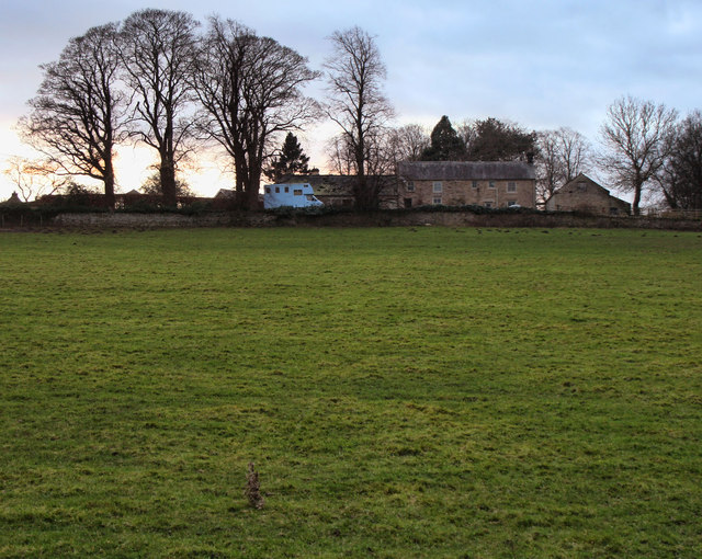
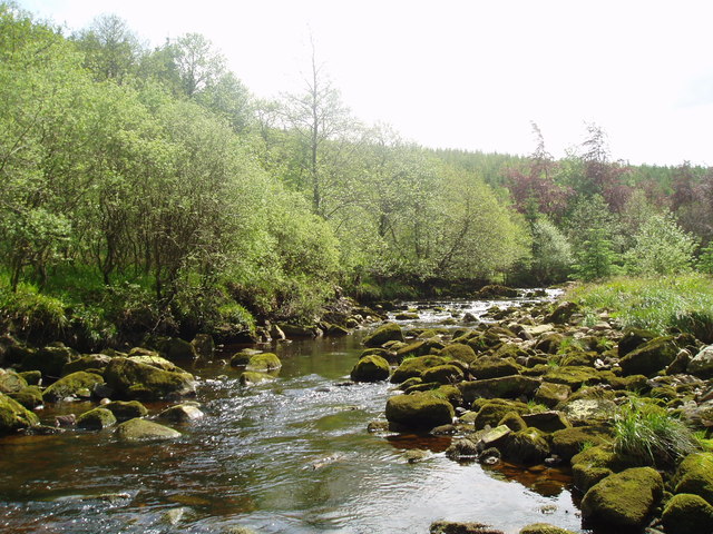
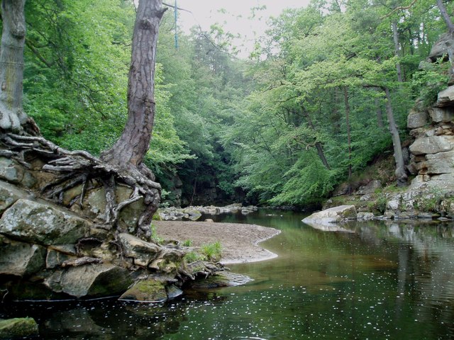
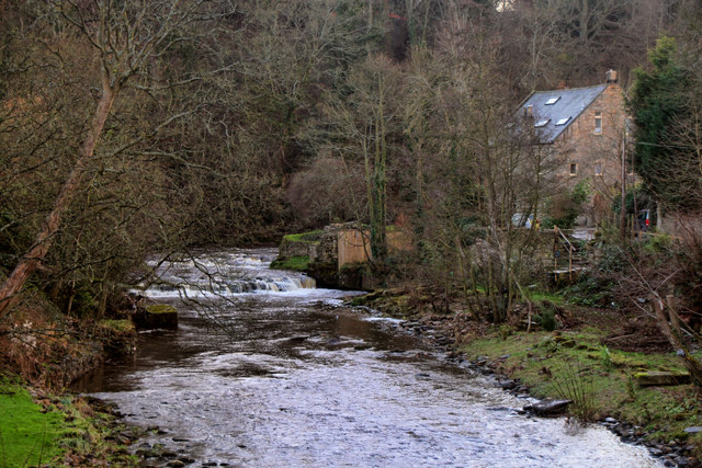
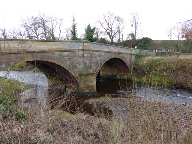
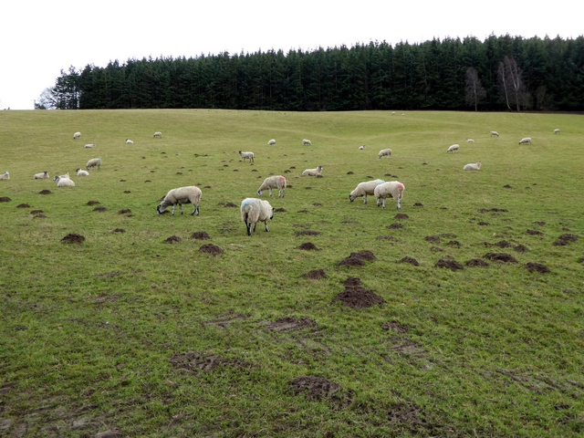
Images are sourced within 2km of 54.951175/-2.0403453 or Grid Reference NY9761. Thanks to Geograph Open Source API. All images are credited.
Pit Allotment Wood is located at Grid Ref: NY9761 (Lat: 54.951175, Lng: -2.0403453)
Unitary Authority: Northumberland
Police Authority: Northumbria
What 3 Words
///passion.twinkled.clock. Near Corbridge, Northumberland
Nearby Locations
Related Wikis

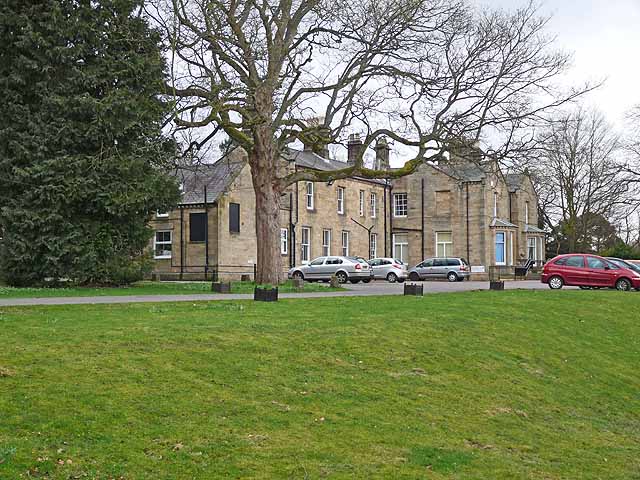
Cambian Dilston College
Cambian Dilston College is a private further education college for those with special educational needs. It is located at Dilston Hall in Corbridge in...
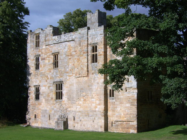
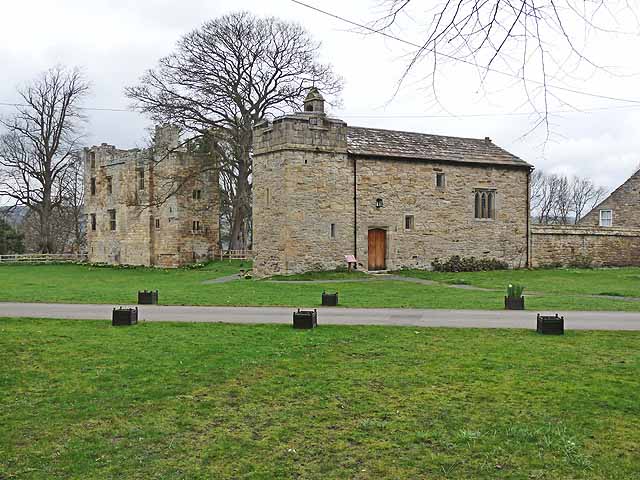
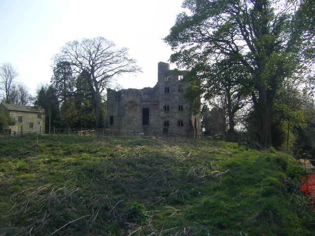
Dilston Castle
Dilston Castle is an unglazed 15th-century uninhabited tower house (and inactive Catholic chapel built for one family's services) at Dilston in the parish...

Corbridge railway station
Corbridge is a railway station on the Tyne Valley Line, which runs between Newcastle and Carlisle via Hexham. The station, situated 19 miles 15 chains...

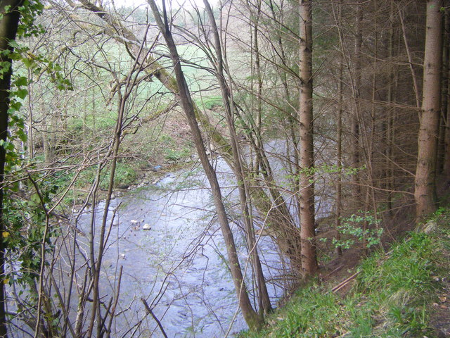
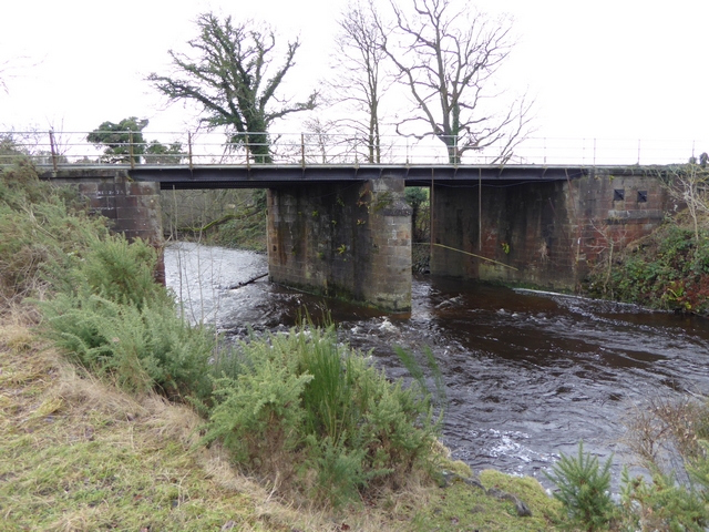
Devil's Water
Devil's Water is a narrow, powerful river in Northumberland, England fed by many streams. A right-bank firmly north-flowing tributary of the Tyne, it ends...
Nearby Amenities
Located within 500m of 54.951175,-2.0403453Have you been to Pit Allotment Wood?
Leave your review of Pit Allotment Wood below (or comments, questions and feedback).