Gill Plantation
Wood, Forest in Yorkshire Richmondshire
England
Gill Plantation
The requested URL returned error: 429 Too Many Requests
If you have any feedback on the listing, please let us know in the comments section below.
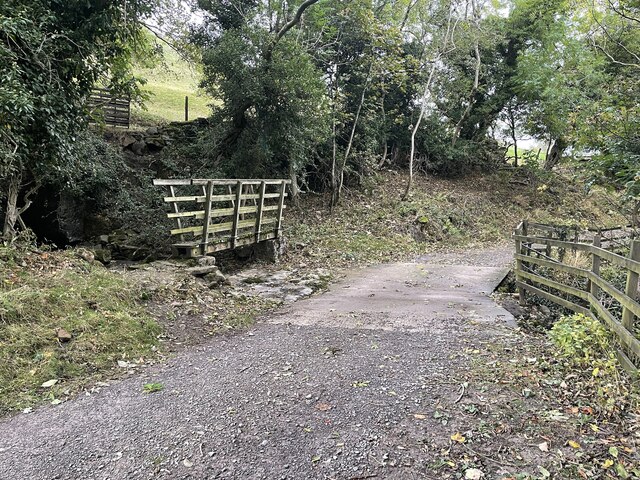
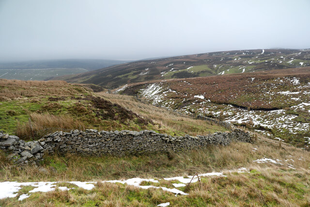
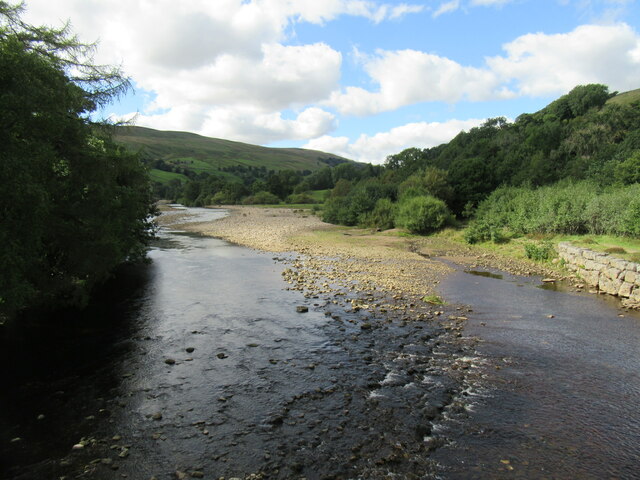
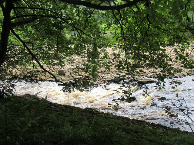
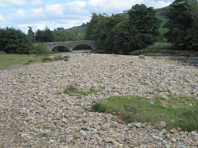
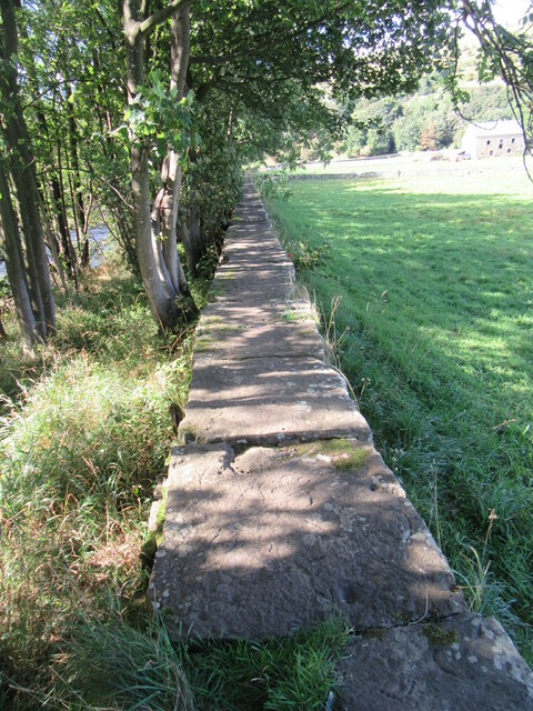
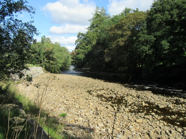
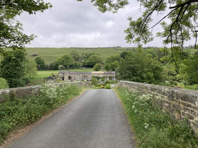
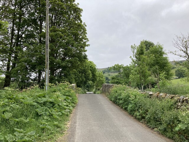
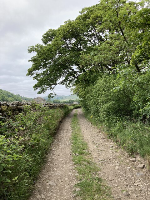
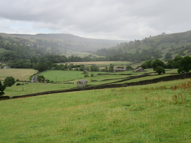
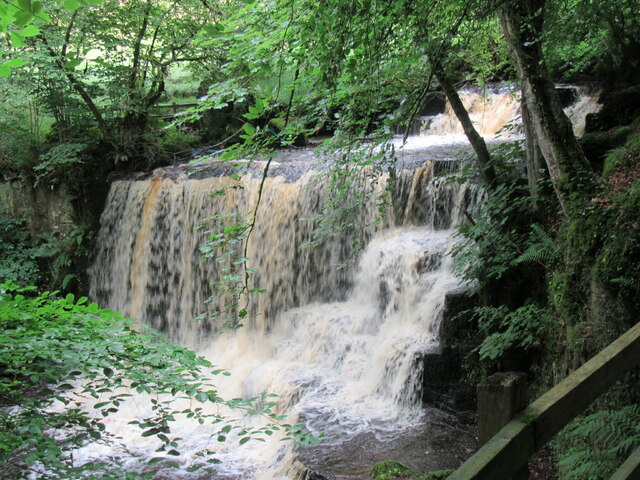
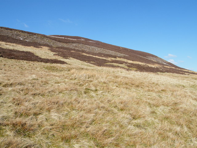
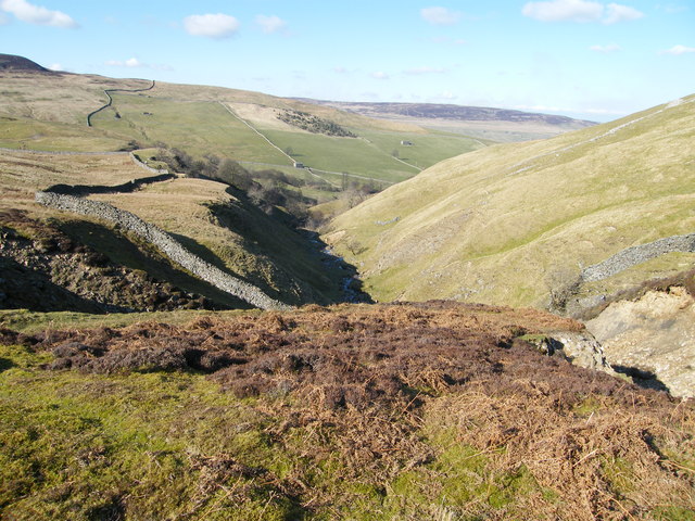
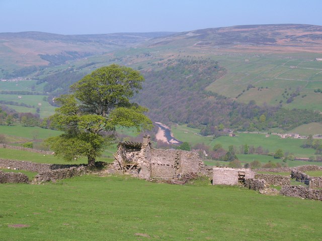
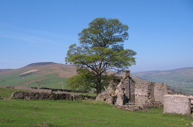
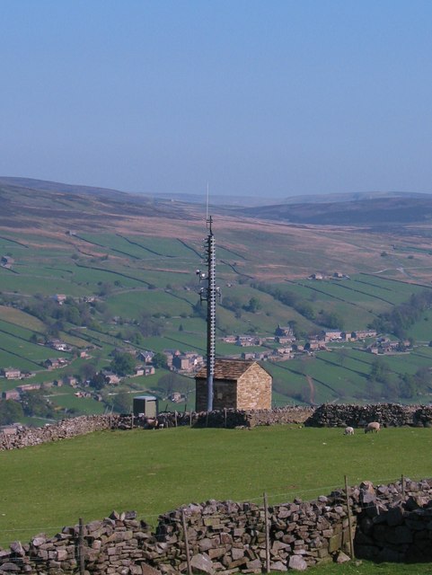
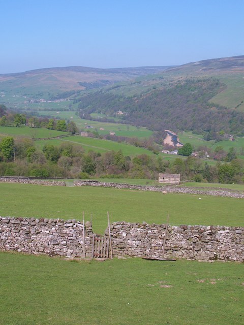
Gill Plantation Images
Images are sourced within 2km of 54.362592/-2.0436254 or Grid Reference SD9796. Thanks to Geograph Open Source API. All images are credited.
Gill Plantation is located at Grid Ref: SD9796 (Lat: 54.362592, Lng: -2.0436254)
Division: North Riding
Administrative County: North Yorkshire
District: Richmondshire
Police Authority: North Yorkshire
What 3 Words
///joins.nuns.skylights. Near Leyburn, North Yorkshire
Nearby Locations
Related Wikis

Crackpot, North Yorkshire
Crackpot is a village in Swaledale, North Yorkshire, England. Its name derives from the Old English kraka (crow) and the Viking word pot (usually a pit...

Low Row
Low Row is a village in Swaledale, in the Yorkshire Dales, North Yorkshire, England. It lies about 3 miles west of Reeth and is between Healaugh and Gunnerside...

Feetham
Feetham is a hamlet opposite Low Row in the Yorkshire Dales, North Yorkshire, England. The origin of the place-name is from Old Norse and means place at...

Gunnerside
Gunnerside is a village in North Yorkshire, England. It is situated in Swaledale, on the B6270 road, 3 miles (5 km) east of Muker and 6 miles (10 km) west...
Nearby Amenities
Located within 500m of 54.362592,-2.0436254Have you been to Gill Plantation?
Leave your review of Gill Plantation below (or comments, questions and feedback).