Crackpot
Settlement in Yorkshire Richmondshire
England
Crackpot
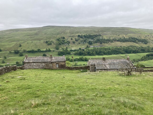
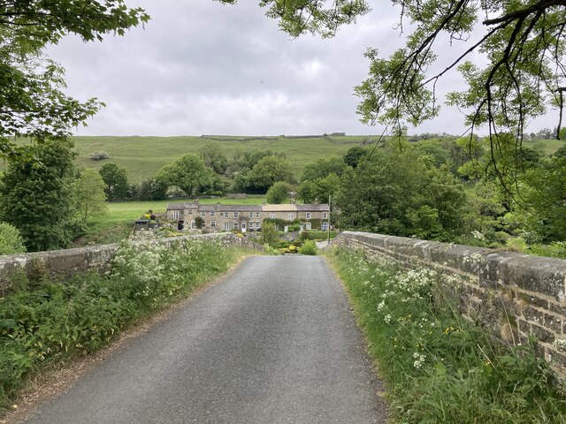
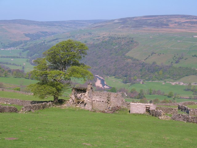
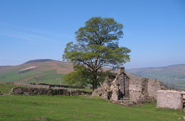
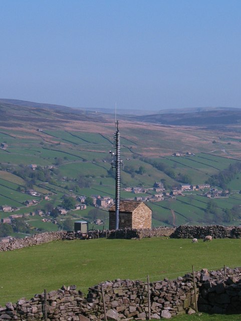
Crackpot is a small hamlet located in the Yorkshire Dales National Park, in North Yorkshire, England. Situated approximately 4 miles southwest of the market town of Hawes, Crackpot offers a picturesque and tranquil setting amidst the stunning landscapes of the Yorkshire Dales.
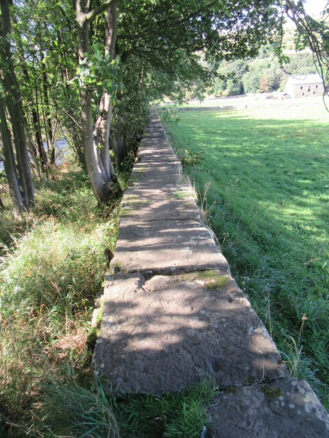
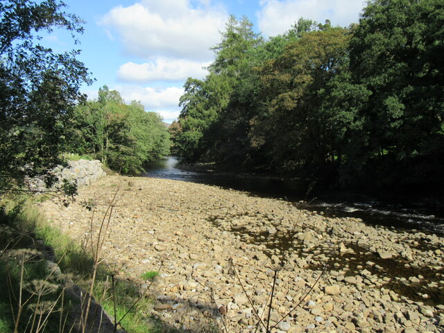
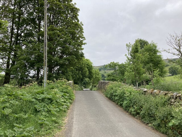
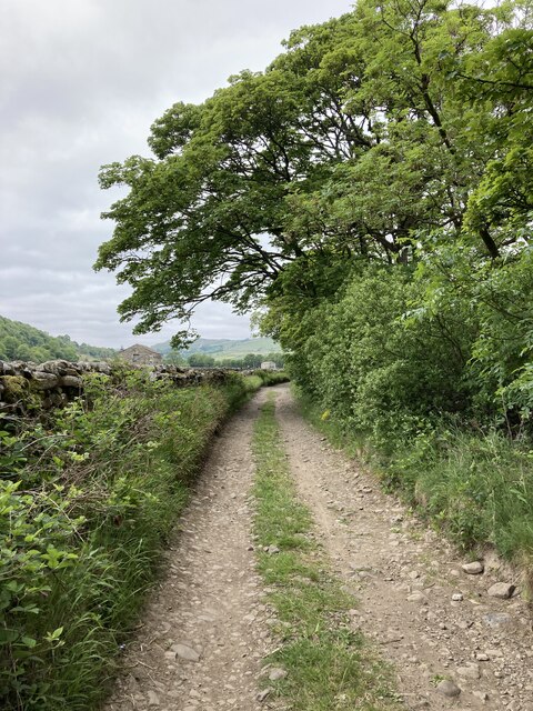
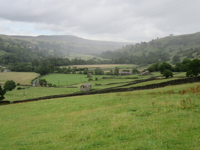
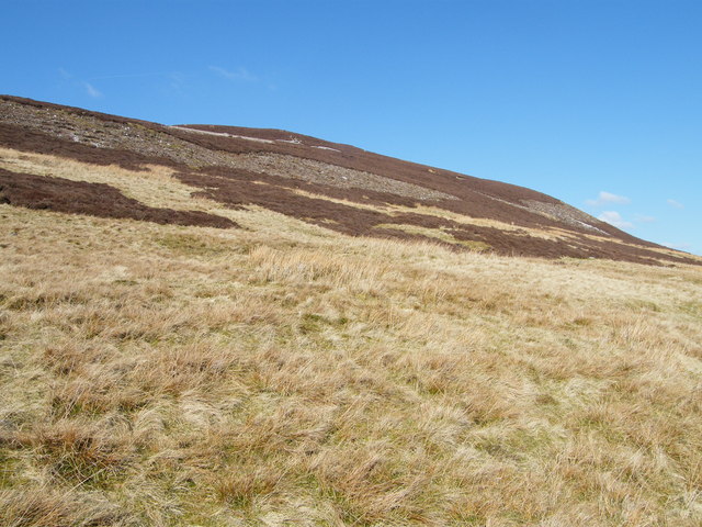
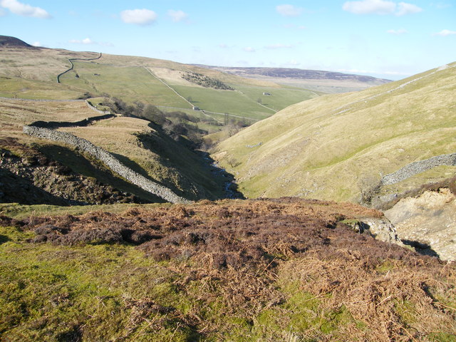
The village is nestled in a valley surrounded by rolling hills and green meadows, making it a popular destination for nature enthusiasts and hikers. The area is home to a variety of wildlife, including birds, sheep, and rabbits, which add to the charm of this rural retreat.
Crackpot is renowned for its historic lead mining heritage, with evidence of mining activities dating back to the 16th century. Visitors can explore the remains of old mine workings, including the impressive Bunton Level Mine, which is now a protected archaeological site. The area's mining past is also evident in the village's name, which derives from the old English word "crack," meaning a narrow opening or crevice, often associated with mining.
Although small, the community in Crackpot is tight-knit and welcoming. The village is home to a handful of charming stone cottages, some of which have been converted into holiday rentals, providing visitors with an opportunity to experience the tranquility and beauty of the Yorkshire Dales firsthand.
For those seeking a peaceful escape from the hustle and bustle of city life, Crackpot offers a unique and idyllic retreat in the heart of the Yorkshire countryside. Whether it's hiking, birdwatching, or simply immersing oneself in nature, this quaint hamlet provides a truly authentic Yorkshire experience.
If you have any feedback on the listing, please let us know in the comments section below.
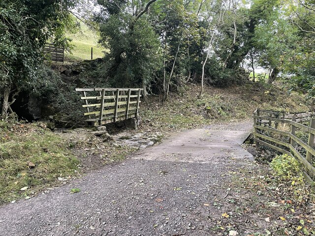
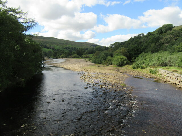
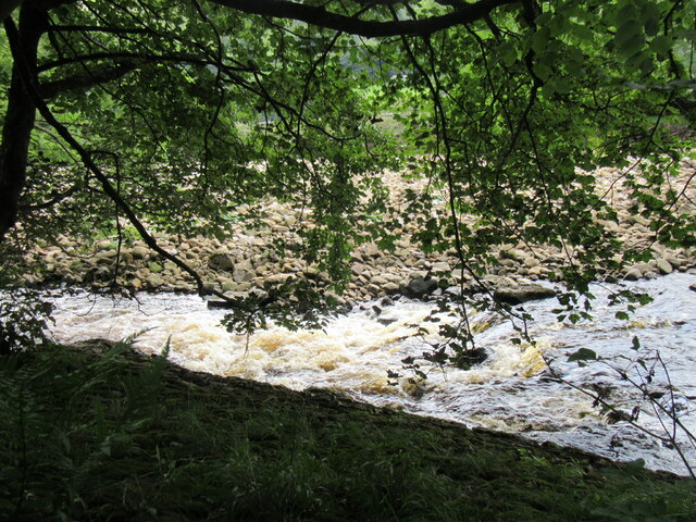
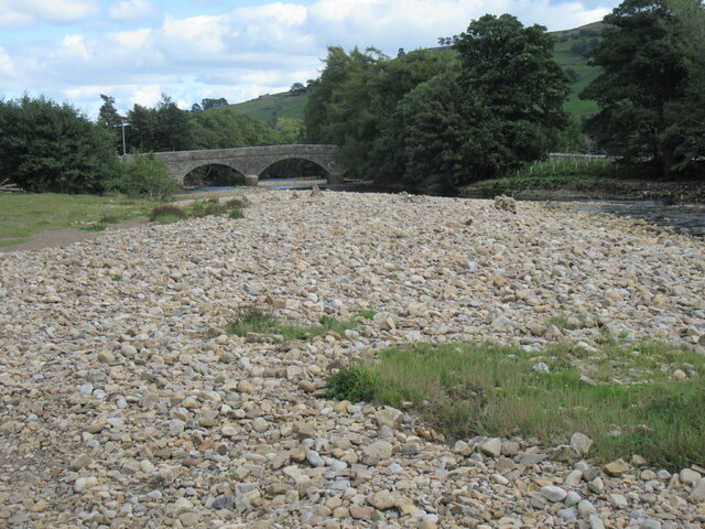
Crackpot Images
Images are sourced within 2km of 54.36492/-2.044598 or Grid Reference SD9796. Thanks to Geograph Open Source API. All images are credited.

Crackpot is located at Grid Ref: SD9796 (Lat: 54.36492, Lng: -2.044598)
Division: North Riding
Administrative County: North Yorkshire
District: Richmondshire
Police Authority: North Yorkshire
What 3 Words
///discloses.engineers.occupiers. Near Leyburn, North Yorkshire
Nearby Locations
Related Wikis

Crackpot, North Yorkshire
Crackpot is a village in Swaledale, North Yorkshire, England. Its name derives from the Old English kraka (crow) and the Viking word pot (usually a pit...

Low Row
Low Row is a village in Swaledale, in the Yorkshire Dales, North Yorkshire, England. It lies about 3 miles west of Reeth and is between Healaugh and Gunnerside...

Feetham
Feetham is a hamlet opposite Low Row in the Yorkshire Dales, North Yorkshire, England. The origin of the place-name is from Old Norse and means place at...

Gunnerside
Gunnerside is a village in North Yorkshire, England. It is situated in Swaledale, on the B6270 road, 3 miles (5 km) east of Muker and 6 miles (10 km) west...

Kearton
Kearton is a hamlet in the Yorkshire Dales, North Yorkshire, England. Kearton is situated near Low Row and Reeth. == References == == External links... ==

Satron
Satron is a hamlet in Swaledale, North Yorkshire, England. It lies 0.6 miles (1 km) south west of Gunnerside on the opposite bank of the River Swale. It...

Melbecks
Melbecks is a civil parish in North Yorkshire, England. It is located in upper Swaledale and covers the settlements of Gunnerside, Low Row, Feetham and...

Ivelet
Ivelet is a hamlet in the Yorkshire Dales, North Yorkshire, England about a mile west of Gunnerside in Swaledale. Ivelet Bridge crosses the River Swale...
Nearby Amenities
Located within 500m of 54.36492,-2.044598Have you been to Crackpot?
Leave your review of Crackpot below (or comments, questions and feedback).