John's Wood
Wood, Forest in Northumberland
England
John's Wood
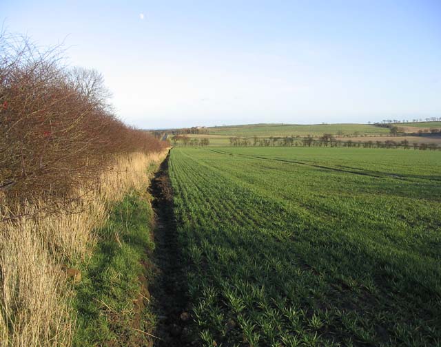
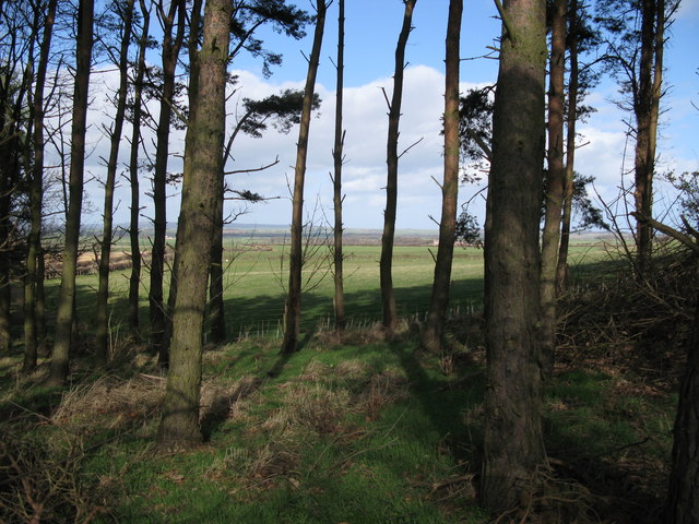
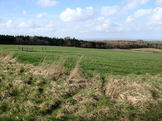
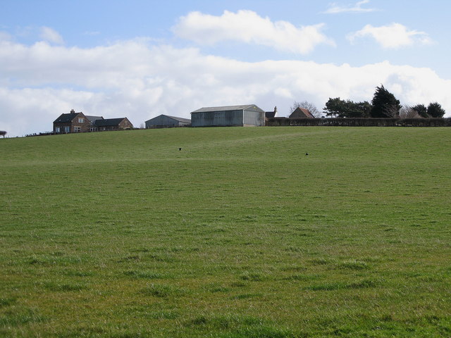
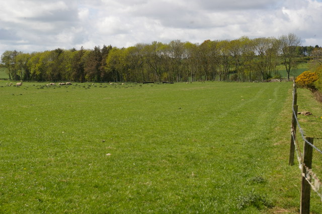
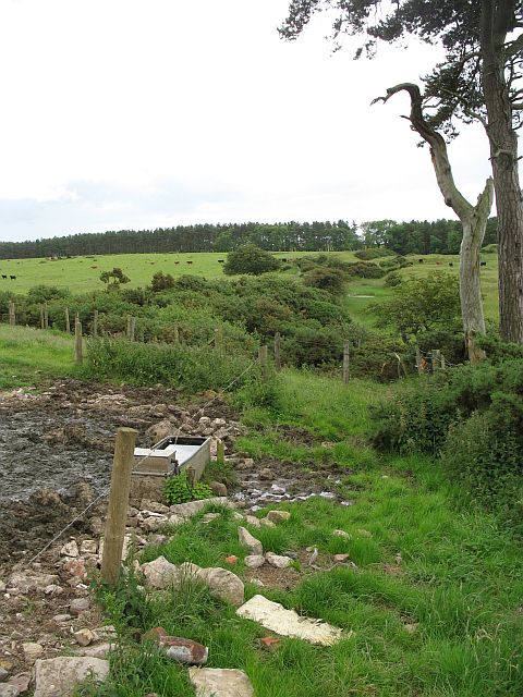
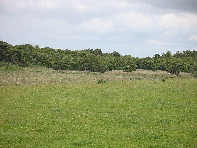
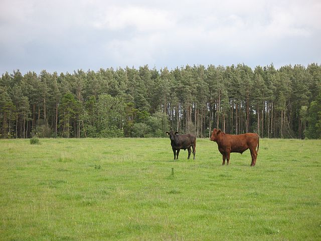
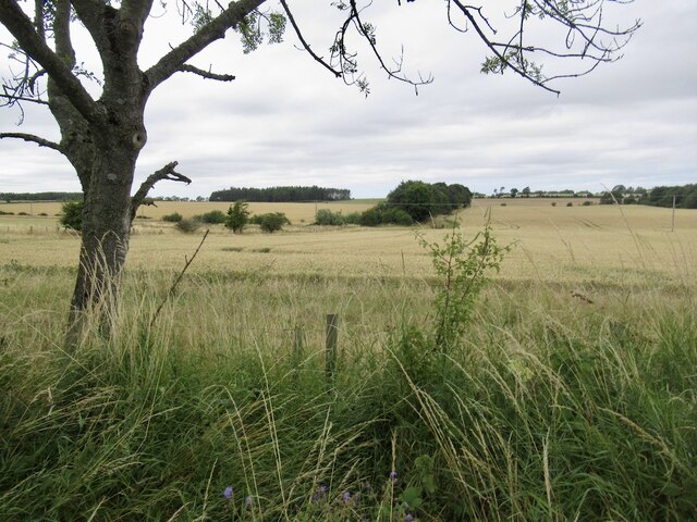
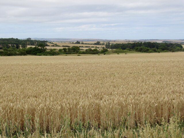
John's Wood is a picturesque forest located in the county of Northumberland, England. Covering an area of approximately 100 acres, this woodland is known for its stunning beauty and rich biodiversity. It is situated in the northern part of Northumberland, near the town of Alnwick.
The forest is characterized by its dense canopy of tall, mature trees, predominantly consisting of oak, beech, and ash. These towering trees create a tranquil and serene atmosphere, making John's Wood a popular destination for nature enthusiasts and hikers.
The forest floor is adorned with a vibrant carpet of wildflowers, ferns, and mosses, adding to the enchanting ambiance of the woodland. The diverse ecosystem supports a wide variety of wildlife, including deer, foxes, badgers, and numerous bird species. Birdwatchers often visit John's Wood to catch glimpses of rare species such as the red squirrel and the Eurasian bullfinch.
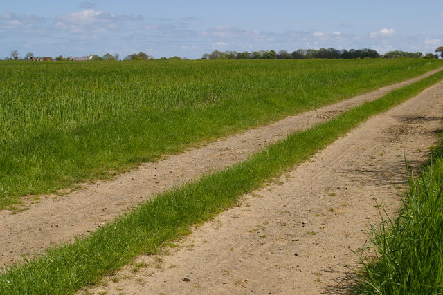
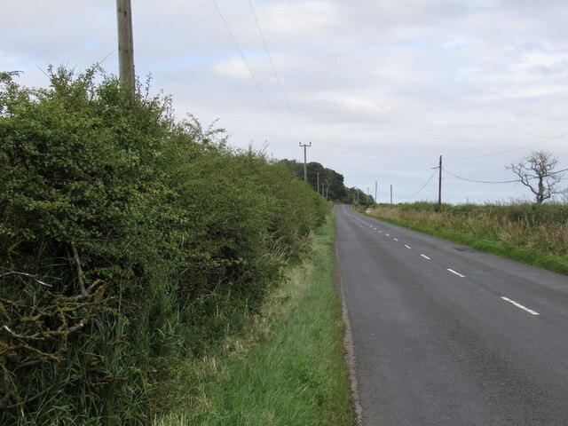
The wood is crisscrossed with a network of well-maintained footpaths, allowing visitors to explore the area at their leisure. These paths lead to several viewpoints, offering breathtaking vistas of the surrounding countryside and the nearby Cheviot Hills.
John's Wood has a rich history, dating back several centuries. It was originally part of the estate owned by the prominent John family, from whom the woodland derives its name. The wood has been carefully managed and preserved, ensuring its natural beauty and ecological significance endure for future generations to enjoy.
If you have any feedback on the listing, please let us know in the comments section below.
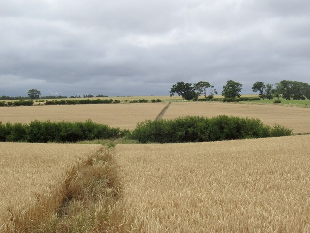
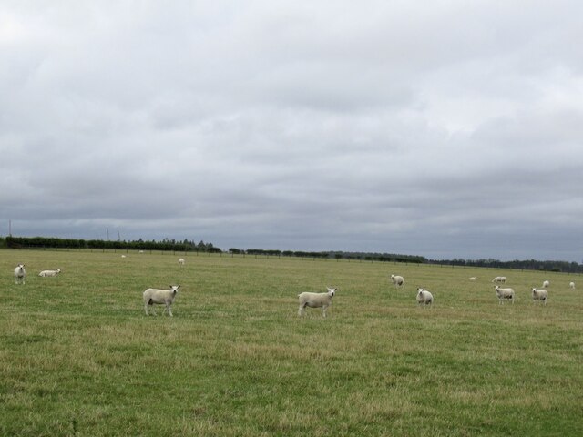
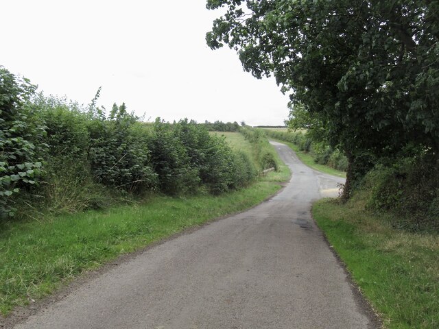
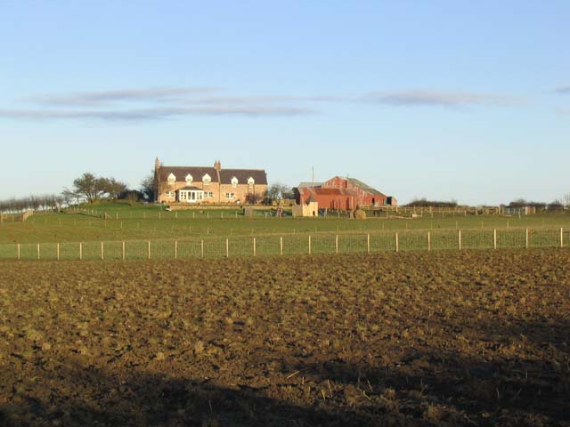
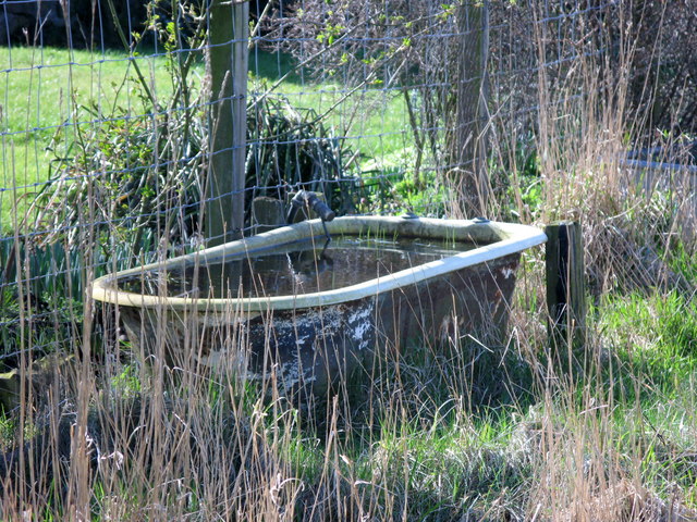
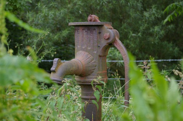
John's Wood Images
Images are sourced within 2km of 55.656614/-2.0450456 or Grid Reference NT9740. Thanks to Geograph Open Source API. All images are credited.
John's Wood is located at Grid Ref: NT9740 (Lat: 55.656614, Lng: -2.0450456)
Unitary Authority: Northumberland
Police Authority: Northumbria
What 3 Words
///plants.outfitter.chimp. Near Ford, Northumberland
Nearby Locations
Related Wikis
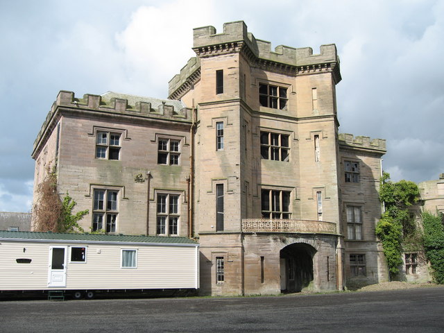
Barmoor Castle
Barmoor Castle ( grid reference NT99723988) is a privately owned 19th-century country house built on an ancient site in Northumberland. It is a Grade...

Bowsden
Bowsden is a village and civil parish in Northumberland, England. It is about 6 miles (10 km) to the south of Berwick-upon-Tweed, inland from the North...

Lady Waterford Hall
Lady Waterford Hall is the former village school of the estate village of Ford, Northumberland. It is now used as the village hall and is a Grade II* listed...

Ford, Northumberland
Ford is a small village and civil parish in Northumberland, England, about 13 miles (21 km) from Berwick-upon-Tweed. The parish also includes Etal. �...
Nearby Amenities
Located within 500m of 55.656614,-2.0450456Have you been to John's Wood?
Leave your review of John's Wood below (or comments, questions and feedback).