Redearth Wood
Wood, Forest in Staffordshire Staffordshire Moorlands
England
Redearth Wood
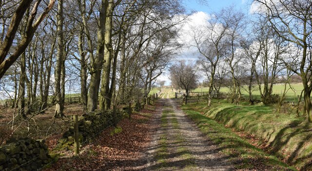
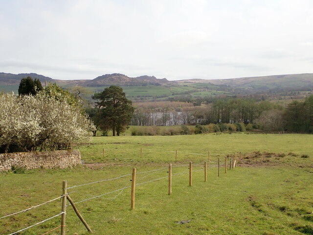
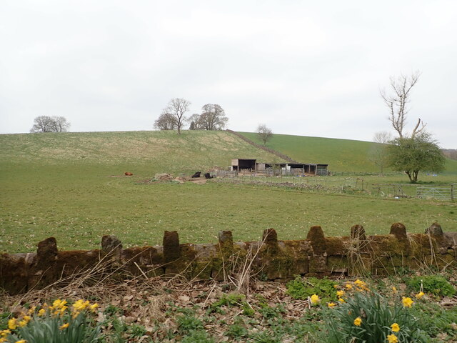
Redearth Wood is a picturesque woodland located in the county of Staffordshire, England. Covering an area of approximately 100 acres, this enchanting forest is nestled in the heart of the countryside, offering visitors a tranquil and immersive experience in nature.
The wood is predominantly composed of native broadleaf trees, such as oak, beech, and ash, which create a dense canopy, providing shelter and a rich habitat for a variety of wildlife. It is a designated Site of Special Scientific Interest (SSSI) due to its diverse flora and fauna, including rare species of plants and insects.
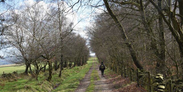
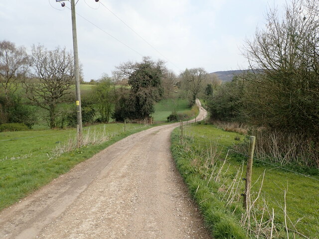
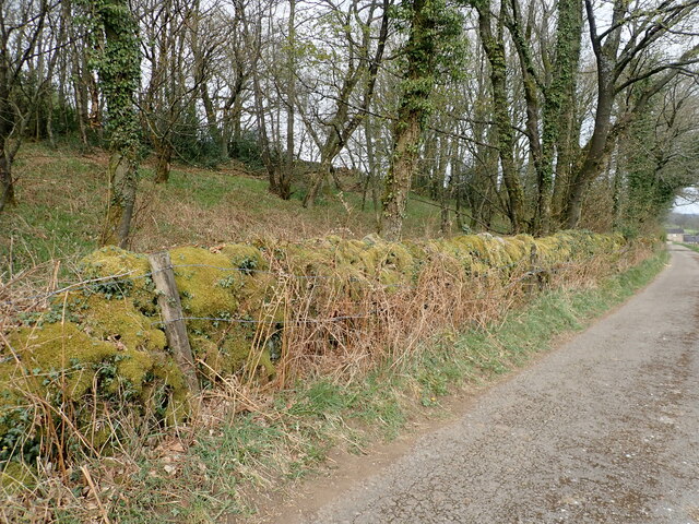
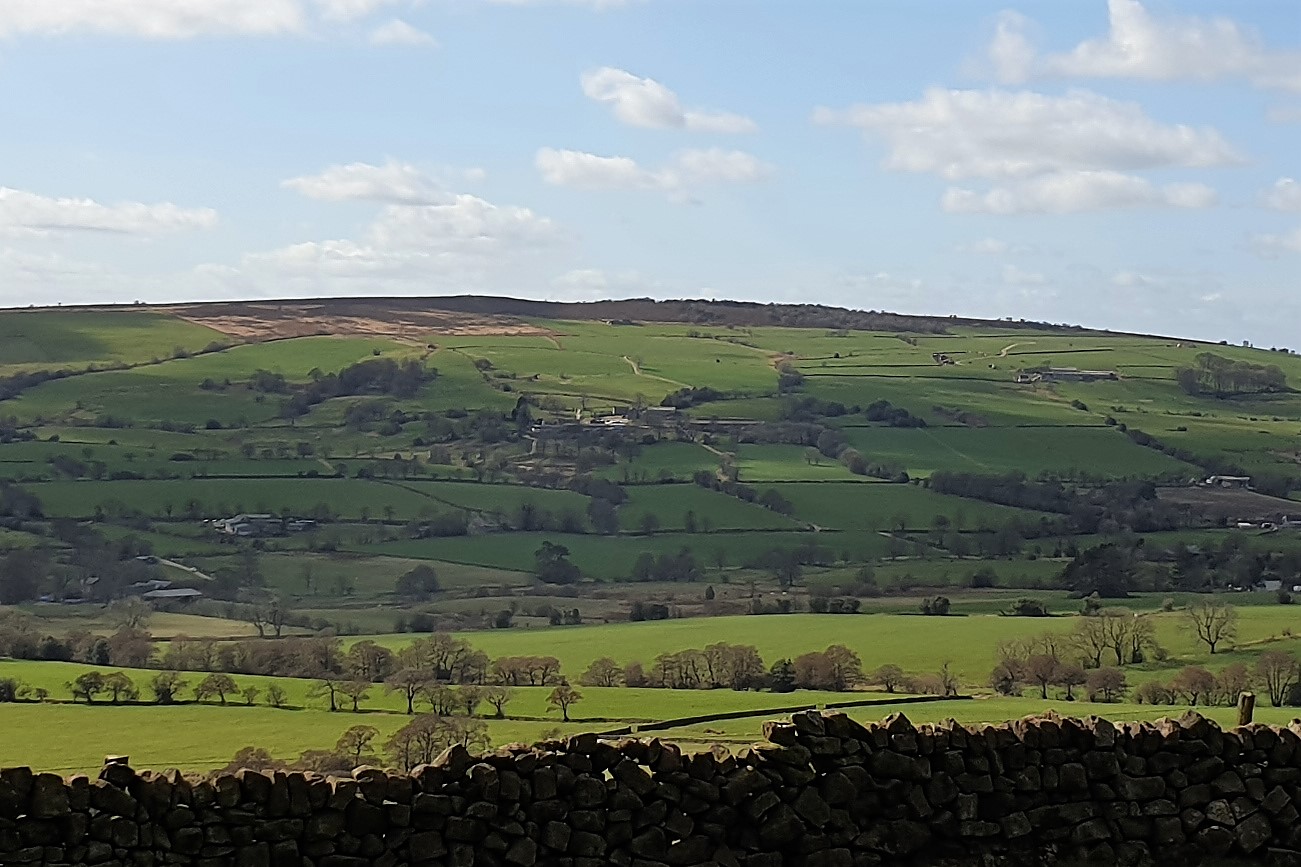
The woodland is crisscrossed by a network of walking trails, allowing visitors to explore its natural beauty at their own pace. These trails vary in length and difficulty, catering to both casual strollers and more experienced hikers. Along the way, visitors can discover hidden ponds, babbling brooks, and ancient stone walls, adding to the charm of the wood.
Redearth Wood also offers excellent opportunities for birdwatching, with a wide range of species calling it their home. Bird enthusiasts can spot woodpeckers, owls, and various songbirds, all adding to the melodic soundtrack of the forest.
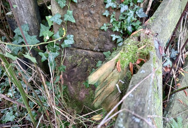
In addition to its natural wonders, the wood has a rich history. It is believed to have been used for timber production in the past, and remnants of old saw pits can still be seen today. Exploring the wood, visitors can find ancient trees with gnarled trunks and moss-covered branches, standing as silent witnesses to centuries gone by.
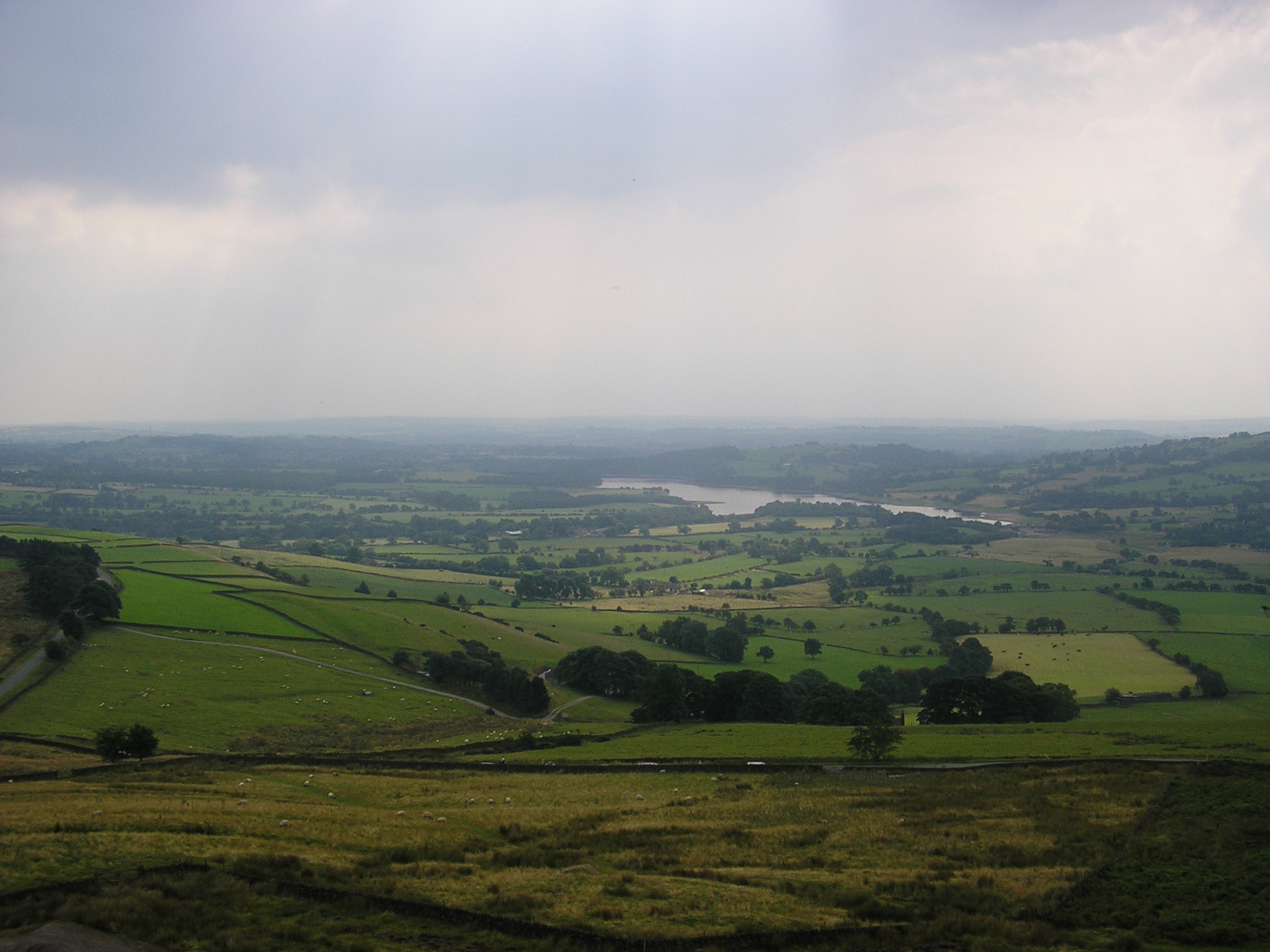
Overall, Redearth Wood is a haven of tranquility and natural beauty, offering visitors the chance to escape the hustle and bustle of modern life and immerse themselves in the wonders of the Staffordshire countryside.
If you have any feedback on the listing, please let us know in the comments section below.
Redearth Wood Images
Images are sourced within 2km of 53.129936/-2.0467233 or Grid Reference SJ9659. Thanks to Geograph Open Source API. All images are credited.


Redearth Wood is located at Grid Ref: SJ9659 (Lat: 53.129936, Lng: -2.0467233)
Administrative County: Staffordshire
District: Staffordshire Moorlands
Police Authority: Staffordshire
What 3 Words
///smaller.resources.kneeled. Near Leek, Staffordshire
Nearby Locations
Related Wikis

Abbey Green, Staffordshire Moorlands
Abbey Green is a village near Leek in the English county of Staffordshire. The village is close to the site of Dieulacres Abbey. The abbey was founded...

Highfield, Leek
Highfield is a cricket ground in Leek, Staffordshire. The ground is located just outside of the town along the Macclesfield Road, which itself forms part...

Dieulacres Abbey
Dieulacres Abbey was a Cistercian monastery established by Ranulf, Earl of Chester at Poulton in Cheshire. It moved to the present site at Abbey Green...

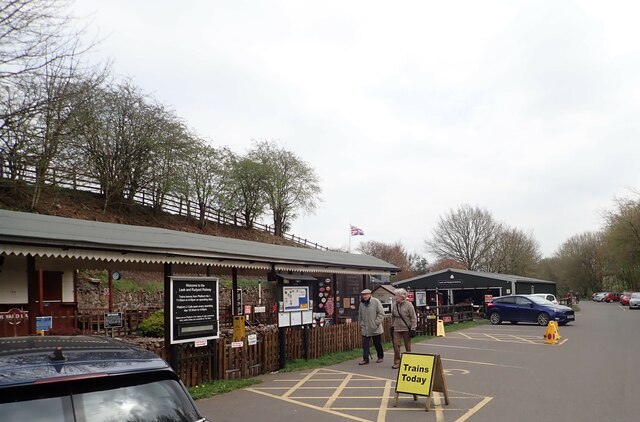
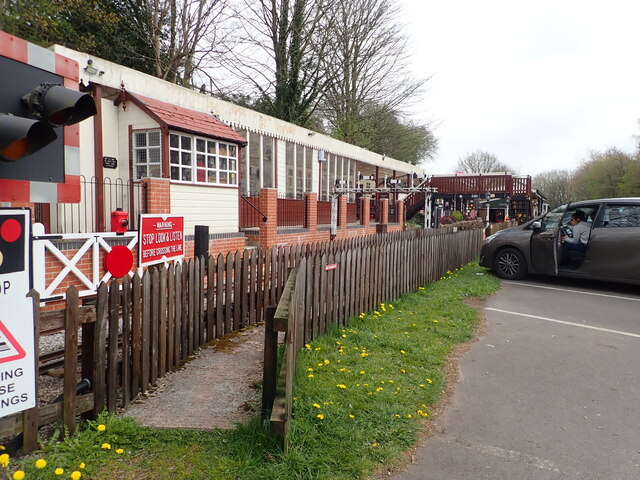
Rudyard railway station
Rudyard railway station served Rudyard, Staffordshire and was opened by the North Staffordshire Railway (NSR) in 1850 on the Churnet Valley line. In the...
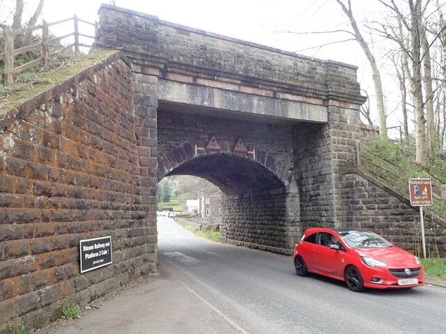
Rudyard, Staffordshire
Rudyard is a lakeside village in the county of Staffordshire, England, west of Leek and on the shore of Rudyard Lake. Population details as taken at the...
Gun (Staffordshire)
Gun is a hill at the southern end of the Peak District, overlooking the town of Leek in the Staffordshire Moorlands. The hill is mainly moorland with some...
Tittesworth reservoir
Tittesworth Reservoir is a water storage reservoir near Leek, Staffordshire, England, fed by the River Churnet. The reservoir and associated water treatment...
Leek Town F.C.
Leek Town Football Club is an English football club based in Leek, Staffordshire, playing in the Northern Premier League Division One West, the eighth...
Nearby Amenities
Located within 500m of 53.129936,-2.0467233Have you been to Redearth Wood?
Leave your review of Redearth Wood below (or comments, questions and feedback).