Woodhead
Wood, Forest in Staffordshire Staffordshire Moorlands
England
Woodhead
Woodhead is a small village located in the county of Staffordshire, England. Situated near the Derbyshire border, it is part of the Staffordshire Moorlands district. The name Woodhead is derived from the combination of "wood" and "head," signifying a forest clearing or glade.
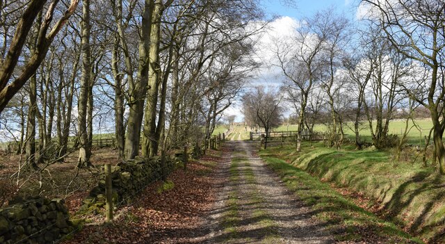
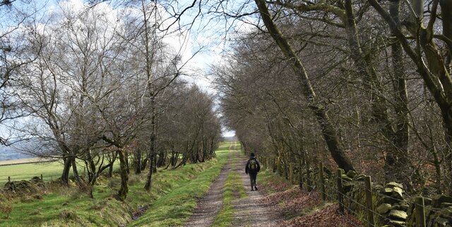
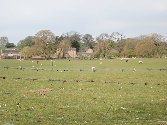
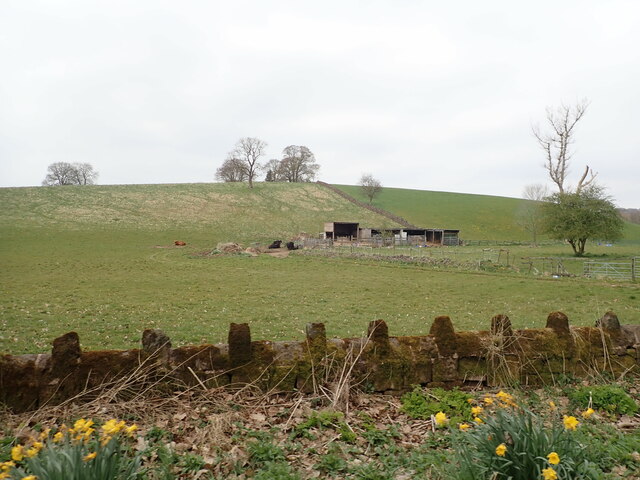
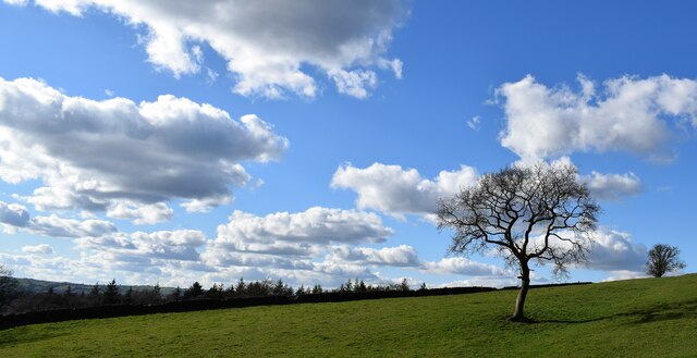
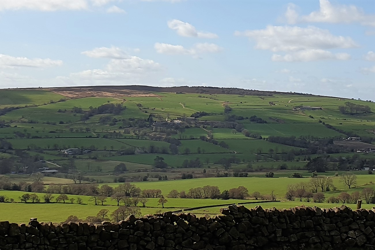
The village is nestled within a picturesque countryside setting, surrounded by lush green fields and rolling hills. The landscape is dominated by the presence of dense woodlands, giving the area a tranquil and natural ambience. These woodlands contribute to the village's name and offer residents and visitors alike the opportunity to explore and enjoy the beauty of nature.
Woodhead has a small and close-knit community, with a population of approximately 500 residents. The village is primarily residential, with a scattering of traditional stone cottages and modern housing developments. Despite its small size, Woodhead boasts a strong sense of community spirit, evident in the various events and activities organized by local groups and societies.
Basic amenities can be found within the village, including a local shop, post office, and a village hall which serves as a venue for community gatherings and events. For educational needs, Woodhead has a primary school, providing education to the local children.
Outdoor enthusiasts are drawn to Woodhead due to its proximity to the Peak District National Park, which offers a range of recreational opportunities such as hiking, cycling, and wildlife spotting. The village itself also has several walking trails and footpaths, allowing residents to explore the surrounding countryside.
Overall, Woodhead is a charming and peaceful village, offering residents and visitors a haven of natural beauty and a strong sense of community.
If you have any feedback on the listing, please let us know in the comments section below.
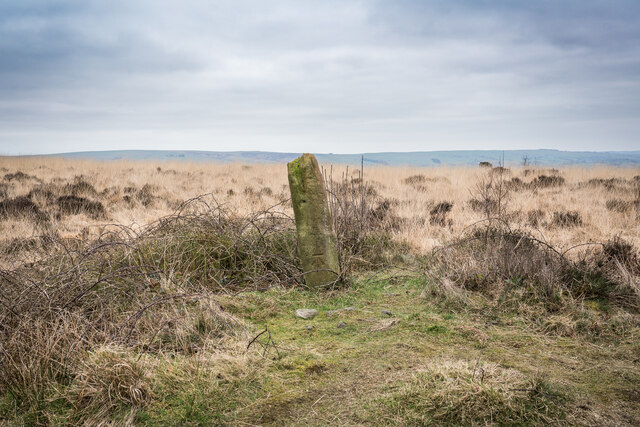
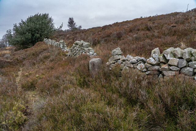
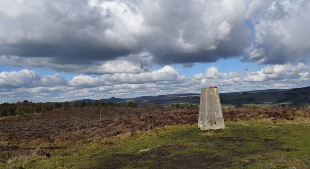
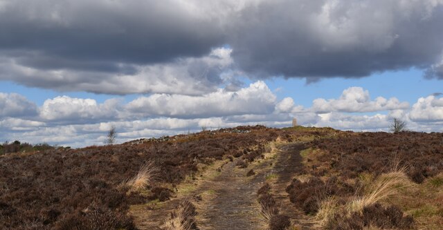
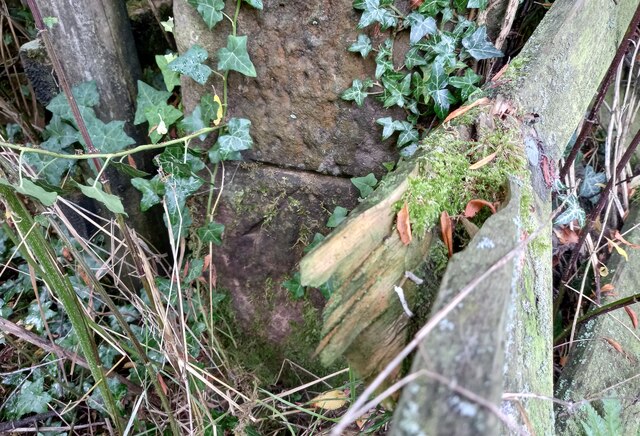
Woodhead Images
Images are sourced within 2km of 53.133081/-2.0507025 or Grid Reference SJ9659. Thanks to Geograph Open Source API. All images are credited.


Woodhead is located at Grid Ref: SJ9659 (Lat: 53.133081, Lng: -2.0507025)
Administrative County: Staffordshire
District: Staffordshire Moorlands
Police Authority: Staffordshire
What 3 Words
///vowing.germinate.recital. Near Leek, Staffordshire
Nearby Locations
Related Wikis
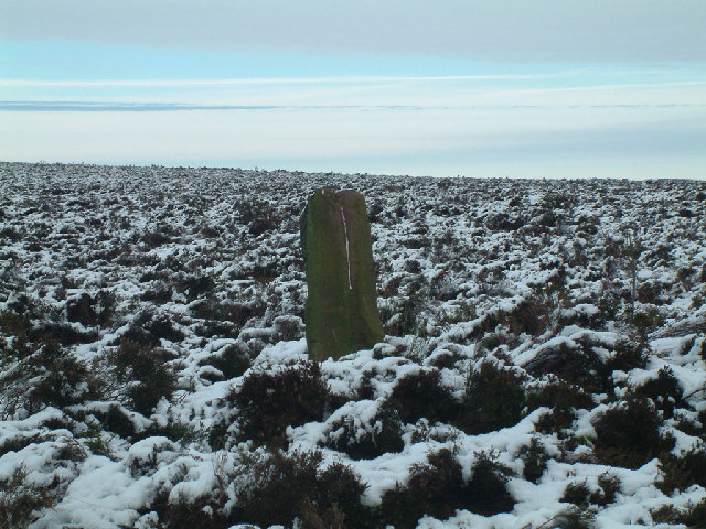
Gun (Staffordshire)
Gun is a hill at the southern end of the Peak District, overlooking the town of Leek in the Staffordshire Moorlands. The hill is mainly moorland with some...

Abbey Green, Staffordshire Moorlands
Abbey Green is a village near Leek in the English county of Staffordshire. The village is close to the site of Dieulacres Abbey. The abbey was founded...

Rudyard railway station
Rudyard railway station served Rudyard, Staffordshire and was opened by the North Staffordshire Railway (NSR) in 1850 on the Churnet Valley line. In the...

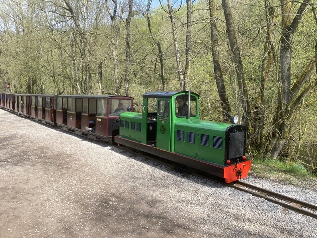
Rudyard Lake Steam Railway
The Rudyard Lake Steam Railway is a ridable miniature railway and the third railway of any gauge to run along the side of Rudyard Lake in Staffordshire...

Rudyard, Staffordshire
Rudyard is a lakeside village in the county of Staffordshire, England, west of Leek and on the shore of Rudyard Lake. Population details as taken at the...
Highfield, Leek
Highfield is a cricket ground in Leek, Staffordshire. The ground is located just outside of the town along the Macclesfield Road, which itself forms part...

Dieulacres Abbey
Dieulacres Abbey was a Cistercian monastery established by Ranulf, Earl of Chester at Poulton in Cheshire. It moved to the present site at Abbey Green...

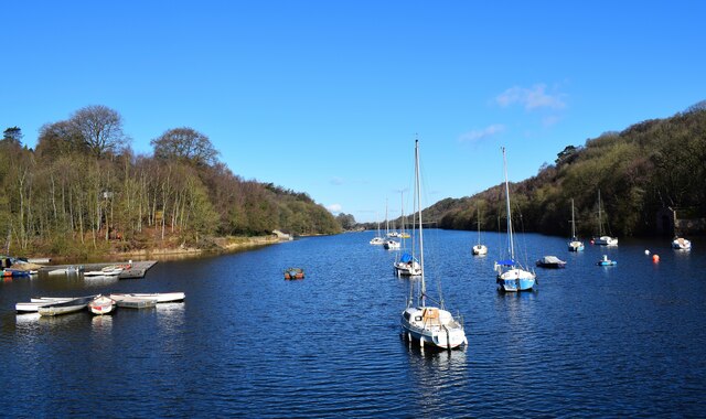
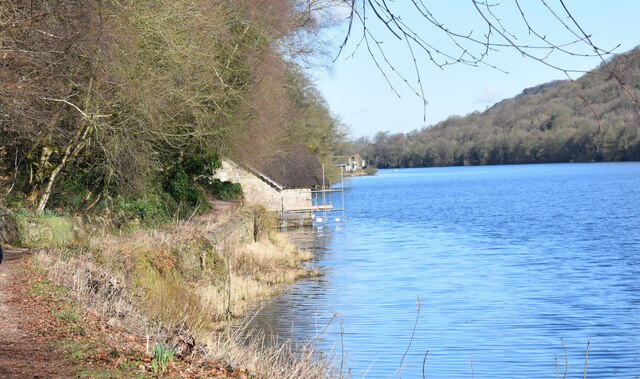
Rudyard Lake
Rudyard Lake is a reservoir in Rudyard, Staffordshire, located north-west of the town of Leek, Staffordshire. It was constructed in the late 18th century...
Have you been to Woodhead?
Leave your review of Woodhead below (or comments, questions and feedback).