Crossway Green
Settlement in Monmouthshire
Wales
Crossway Green
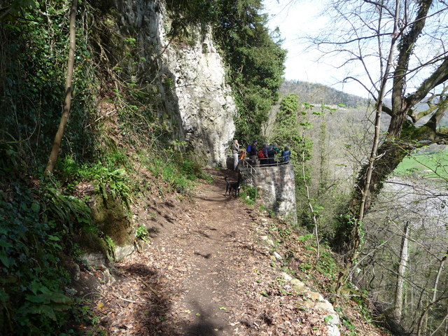
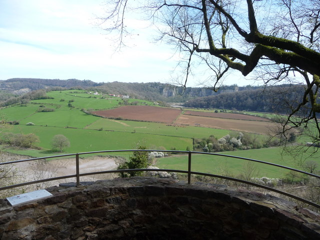
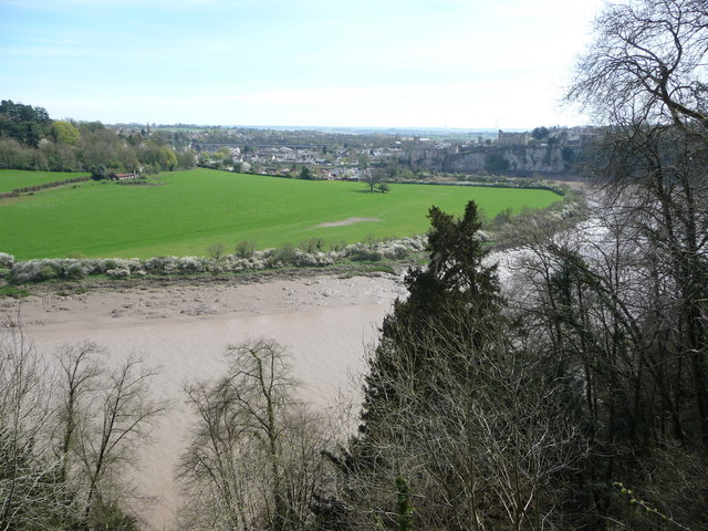
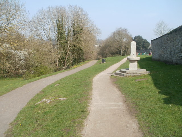
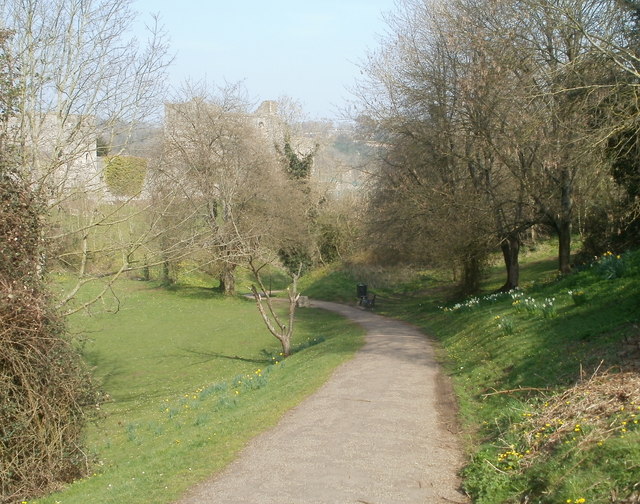
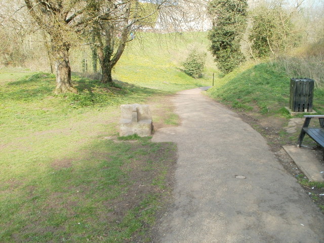
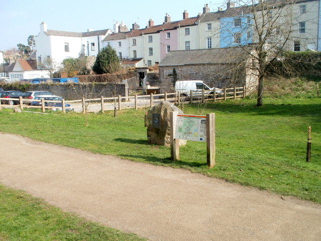
Crossway Green is a small village located in Monmouthshire, Wales. Situated approximately 2 miles northwest of the town of Monmouth, it is nestled in the picturesque Wye Valley. The village is surrounded by lush green fields and rolling hills, providing a tranquil and scenic setting.
Despite its small size, Crossway Green boasts a close-knit community and a rich history. The village is named after the nearby crossroads that intersect at this point, making it a significant junction in the local area. This junction has been a focal point for trade and transportation throughout the years.
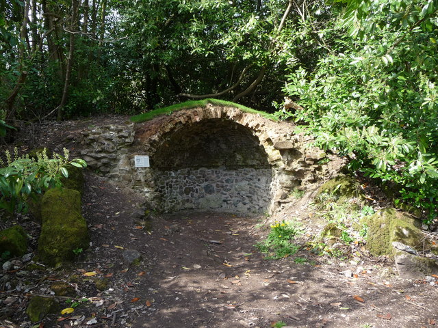
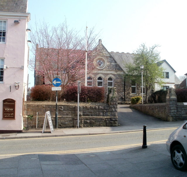
The village is home to a number of traditional cottages and period buildings, reflecting its historic charm. It also features a local pub, providing a gathering place for locals and visitors alike.
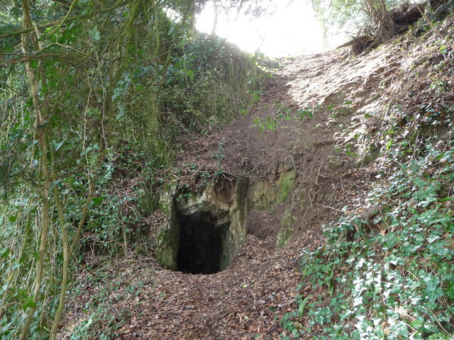
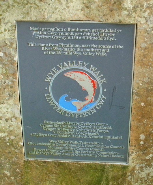
Nature enthusiasts are drawn to Crossway Green due to its proximity to the stunning Wye Valley Area of Outstanding Natural Beauty. The area offers a plethora of outdoor activities, including hiking, cycling, and fishing. The nearby River Wye provides opportunities for canoeing and kayaking, attracting water sports enthusiasts throughout the year.
With its idyllic location and strong sense of community, Crossway Green offers residents and visitors a peaceful and rural retreat. Its close proximity to Monmouth provides easy access to amenities and services, making it an attractive place to live or visit for those seeking a balance between countryside living and modern conveniences.
If you have any feedback on the listing, please let us know in the comments section below.
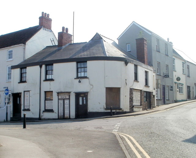
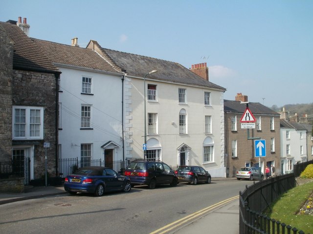
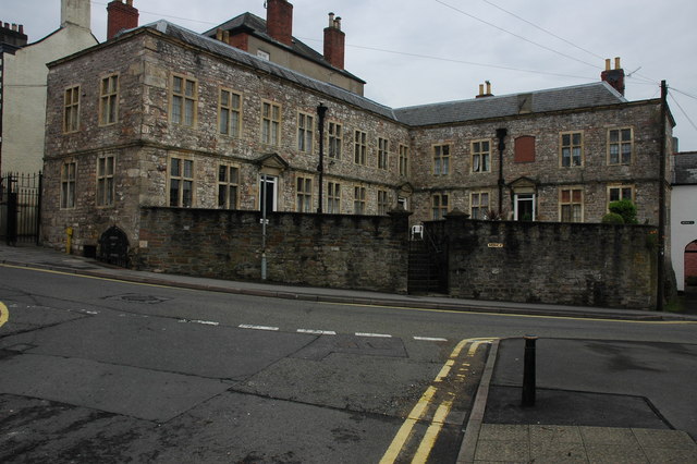
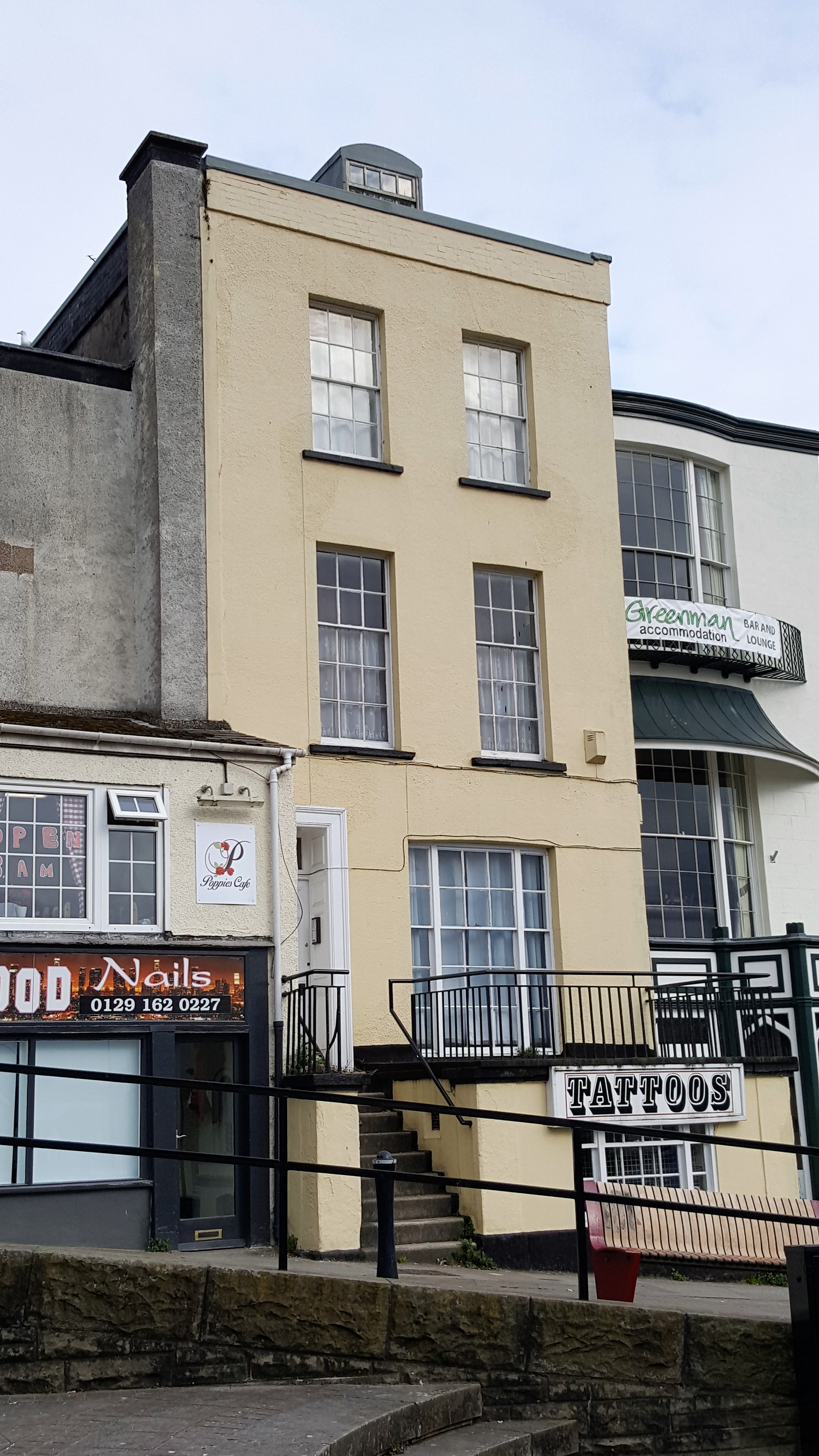
Crossway Green Images
Images are sourced within 2km of 51.648405/-2.687378 or Grid Reference ST5294. Thanks to Geograph Open Source API. All images are credited.
Crossway Green is located at Grid Ref: ST5294 (Lat: 51.648405, Lng: -2.687378)
Unitary Authority: Monmouthshire
Police Authority: Gwent
What 3 Words
///inert.survey.powerful. Near Chepstow, Monmouthshire
Nearby Locations
Related Wikis

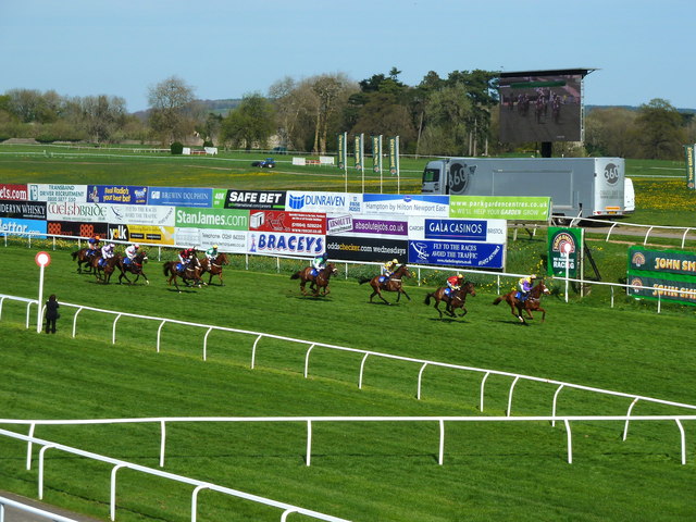
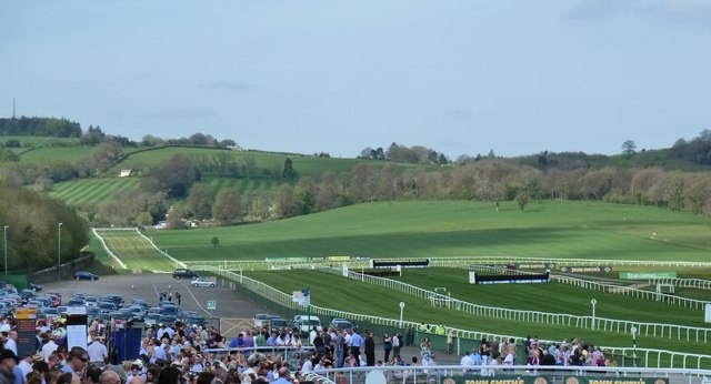
Chepstow Racecourse
Chepstow Racecourse is a thoroughbred horse racing course located just north of the town of Chepstow in Monmouthshire, Wales, near the southern end of...

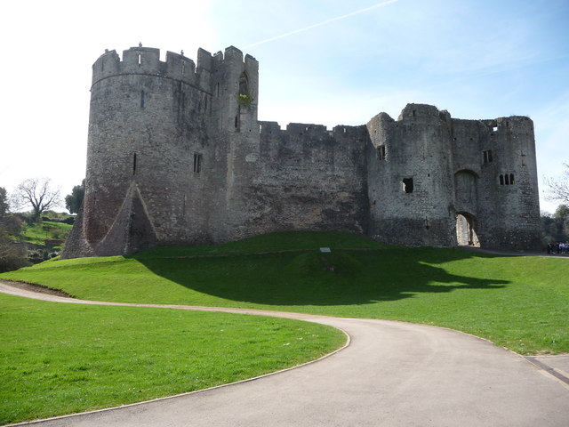
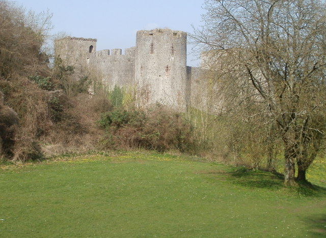
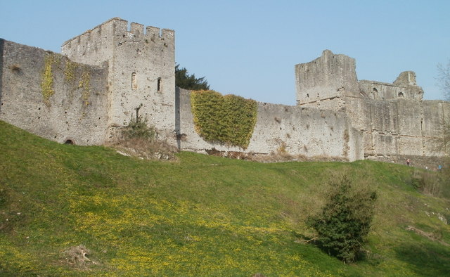
Chepstow Castle
Chepstow Castle (Welsh: Castell Cas-gwent) at Chepstow, Monmouthshire, Wales is the oldest surviving post-Roman stone fortification in Britain. Located...

Chepstow Community Hospital
Chepstow Community Hospital (Welsh: Ysbyty Cymunedol Cas-gwent) is a community hospital located on the east side of St Lawrence Road in Chepstow, Monmouthshire...
St Lawrence Hospital, Chepstow
St Lawrence Hospital (Welsh: Ysbyty St Lawrence) was a specialist plastic surgery and burns hospital on the west side of St Lawrence Road in Chepstow,...

Raglan Lodge
Raglan Lodge is a Grade II* listed building in Beaufort Square, Chepstow, Monmouthshire, Wales. Though the frontage dates from the early 19th century...
Powis Almshouses
The Powis Almshouses are a block of almshouses in Chepstow, Monmouthshire, Wales, at the junction of Church Street and Bridge Street (formerly St Anne...

Castle Terrace, Chepstow
Castle Terrace, originally known as Castle Parade, is an unbroken row of fourteen three-storied Georgian dwellings in Chepstow, Monmouthshire, Wales....
14 Beaufort Square, Chepstow
14 Beaufort Square in Chepstow, Monmouthshire, Wales, is a townhouse of medieval origins. The present building was mainly constructed in the early 19th...
Nearby Amenities
Located within 500m of 51.648405,-2.687378Have you been to Crossway Green?
Leave your review of Crossway Green below (or comments, questions and feedback).