Knowsley Plantation
Wood, Forest in Lancashire
England
Knowsley Plantation
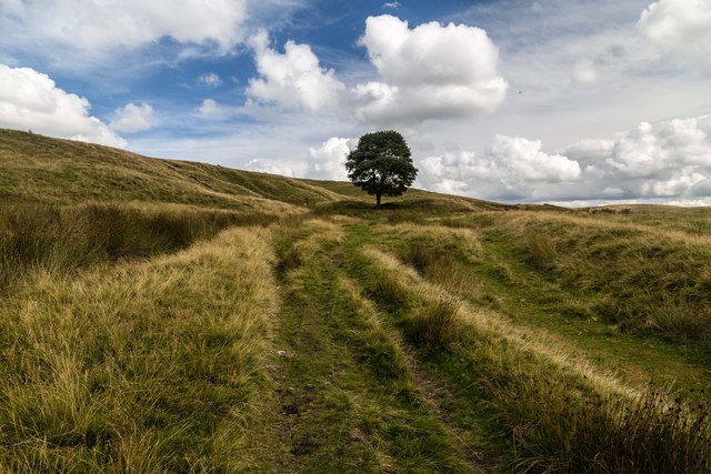
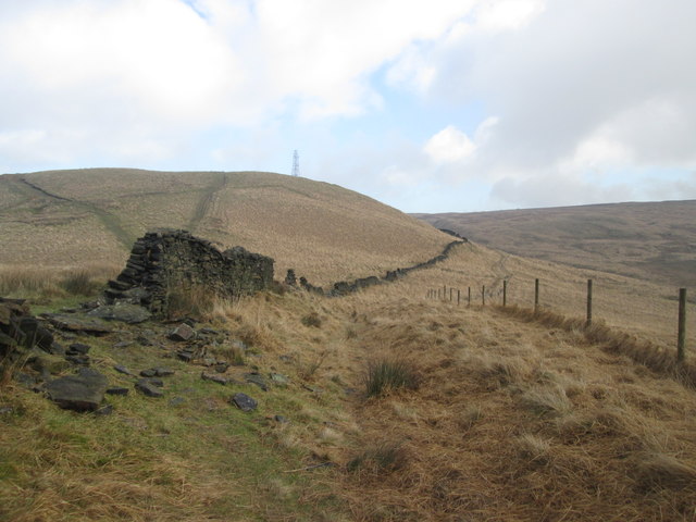
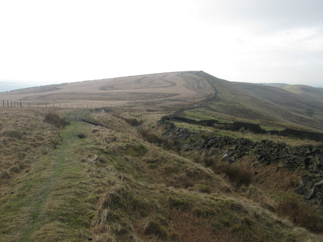
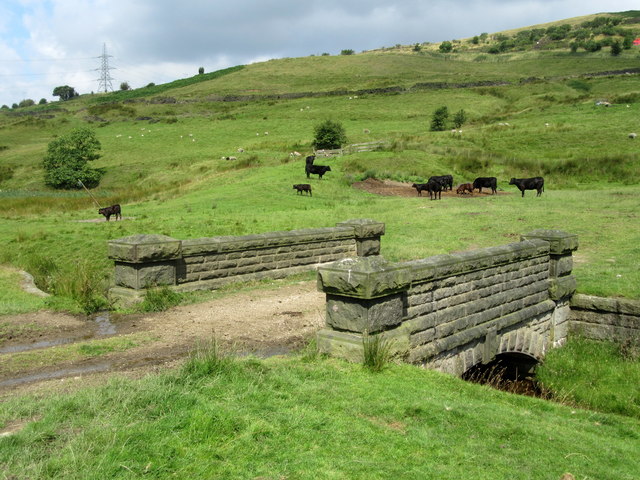
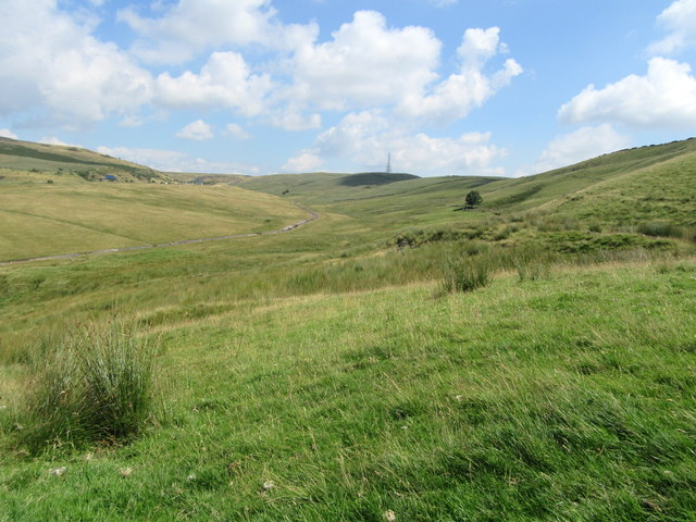
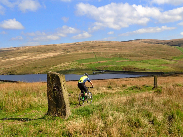
Knowsley Plantation is a picturesque woodland area located in the county of Lancashire, England. Covering approximately 500 acres, this sprawling forest is a haven for nature enthusiasts and outdoor adventurers. Known for its diverse range of tree species and abundant wildlife, Knowsley Plantation offers a tranquil retreat from the hustle and bustle of city life.
The plantation is primarily comprised of mature deciduous trees, including oak, beech, and birch, which create a vibrant and ever-changing landscape throughout the seasons. The dense foliage provides a rich habitat for a variety of woodland creatures, such as deer, foxes, badgers, and numerous species of birds.
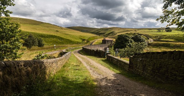
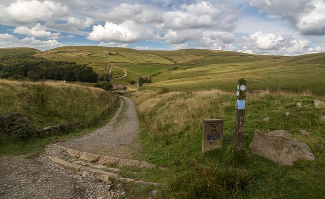
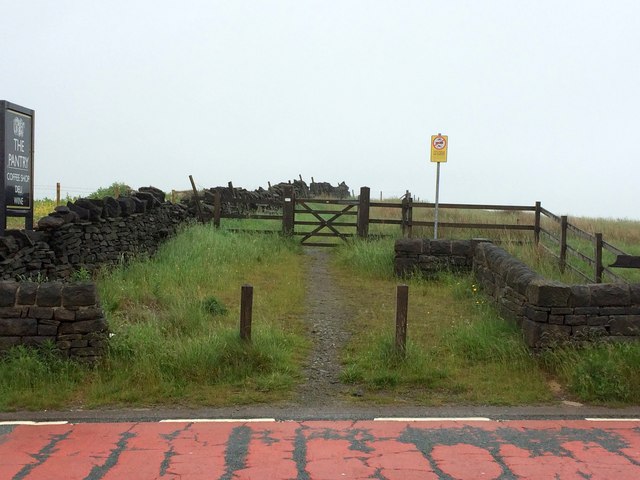
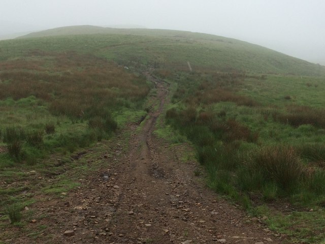
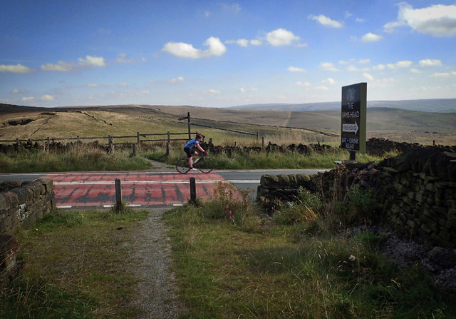
Visitors to Knowsley Plantation can explore the network of well-maintained walking trails that wind through the forest, allowing for an immersive experience in nature. The trails are suitable for all levels of fitness and offer breathtaking views of the surrounding countryside. Additionally, there are designated picnic areas where visitors can relax and enjoy a meal amidst the peaceful atmosphere.
The plantation also boasts a diverse array of flora, with carpets of bluebells and wildflowers adorning the forest floor in spring. This creates a dazzling display of colors and scents that are a treat for the senses. Furthermore, the plantation is committed to preserving its natural beauty and is actively involved in conservation efforts, including tree planting and wildlife protection.
Overall, Knowsley Plantation is a hidden gem in Lancashire, offering a sanctuary for nature lovers and a chance to reconnect with the great outdoors. With its stunning scenery, abundant wildlife, and well-maintained trails, it is a must-visit destination for those seeking a peaceful and immersive woodland experience.
If you have any feedback on the listing, please let us know in the comments section below.
Knowsley Plantation Images
Images are sourced within 2km of 53.607731/-2.055111 or Grid Reference SD9612. Thanks to Geograph Open Source API. All images are credited.


Knowsley Plantation is located at Grid Ref: SD9612 (Lat: 53.607731, Lng: -2.055111)
Unitary Authority: Rochdale
Police Authority: Greater Manchester
What 3 Words
///hips.massive.instilled. Near Milnrow, Manchester
Related Wikis

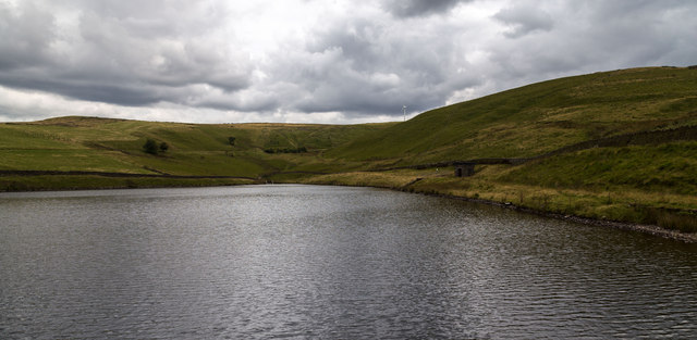
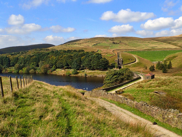
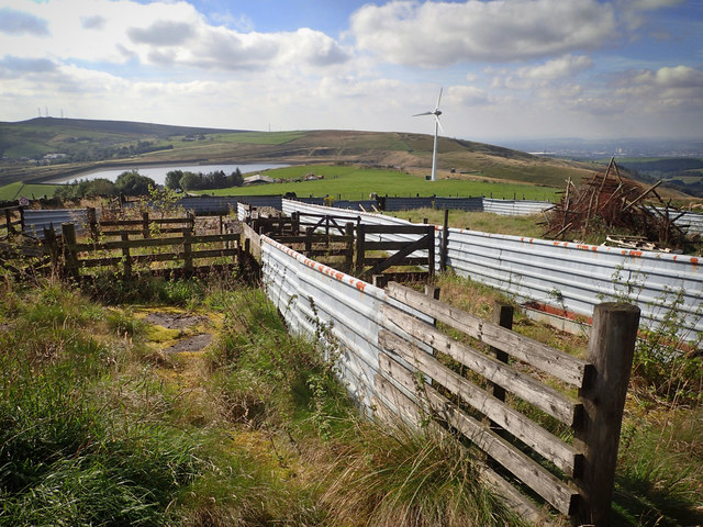
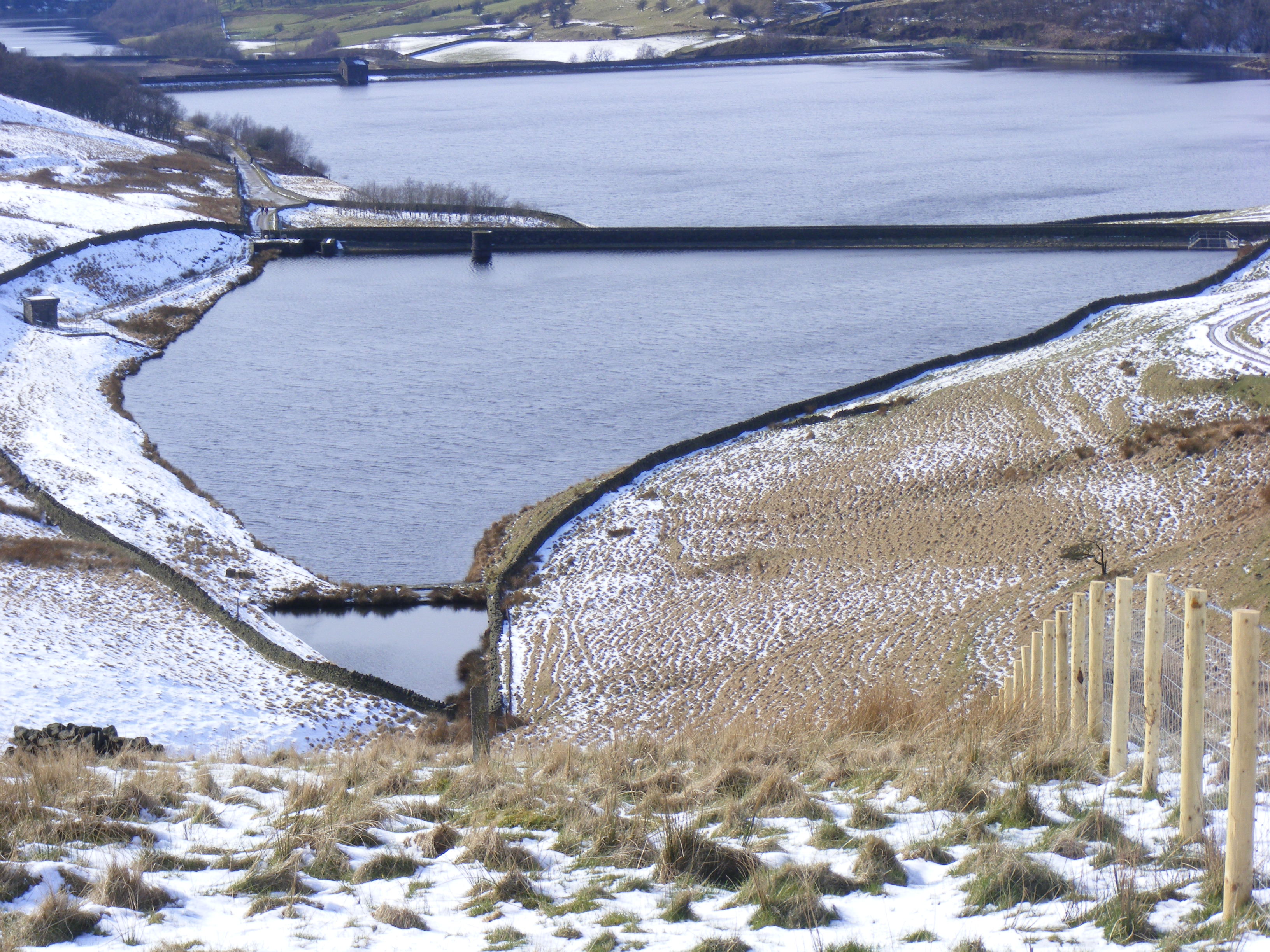
Piethorne Reservoir
Piethorne Reservoir is the largest of several reservoirs in the Piethorne Valley above Newhey, by Milnrow, in the Metropolitan Borough of Rochdale, Greater...

Kitcliffe Reservoir
Kitcliffe Reservoir is a reservoir in Piethorne Valley in between Ogden and Piethorne Reservoirs in the Metropolitan Borough of Rochdale, within Greater...
Hanging Lees Reservoir
Hanging Lees Reservoir is a small reservoir in the Piethorne Valley in the Metropolitan Borough of Rochdale, within Greater Manchester, England. It is...

Rooden Reservoir
Rooden Reservoir is a reservoir in the Piethorne Valley in the Metropolitan Borough of Rochdale, within Greater Manchester, England. It is close to Denshaw...

Norman Hill Reservoir
Norman Hill Reservoir is a reservoir in the Piethorne Valley in the Metropolitan Borough of Rochdale, within Greater Manchester, England. == References ==

Ogden Reservoir (Greater Manchester)
Ogden Reservoir is a reservoir in the Piethorne Valley, close to Milnrow and Newhey in the Metropolitan Borough of Rochdale, within Greater Manchester...

Crompton Moor
Crompton Moor (archaically known as High Moor) is an area of moorland in the South Pennines, in North West England. It lies along the northeastern outskirts...

Denshaw
Denshaw is a village in the civil parish of Saddleworth in the Metropolitan Borough of Oldham, in Greater Manchester, England. It lies by the source of...
Nearby Amenities
Located within 500m of 53.607731,-2.055111Have you been to Knowsley Plantation?
Leave your review of Knowsley Plantation below (or comments, questions and feedback).