Piethorne Reservoir
Lake, Pool, Pond, Freshwater Marsh in Lancashire
England
Piethorne Reservoir
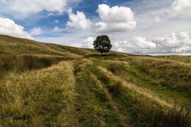
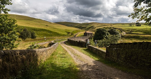
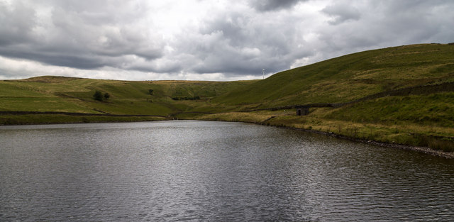
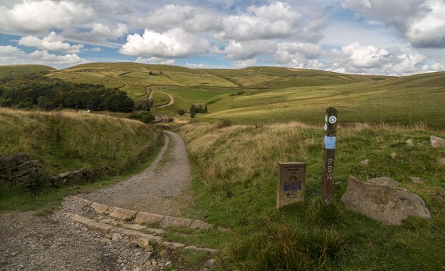
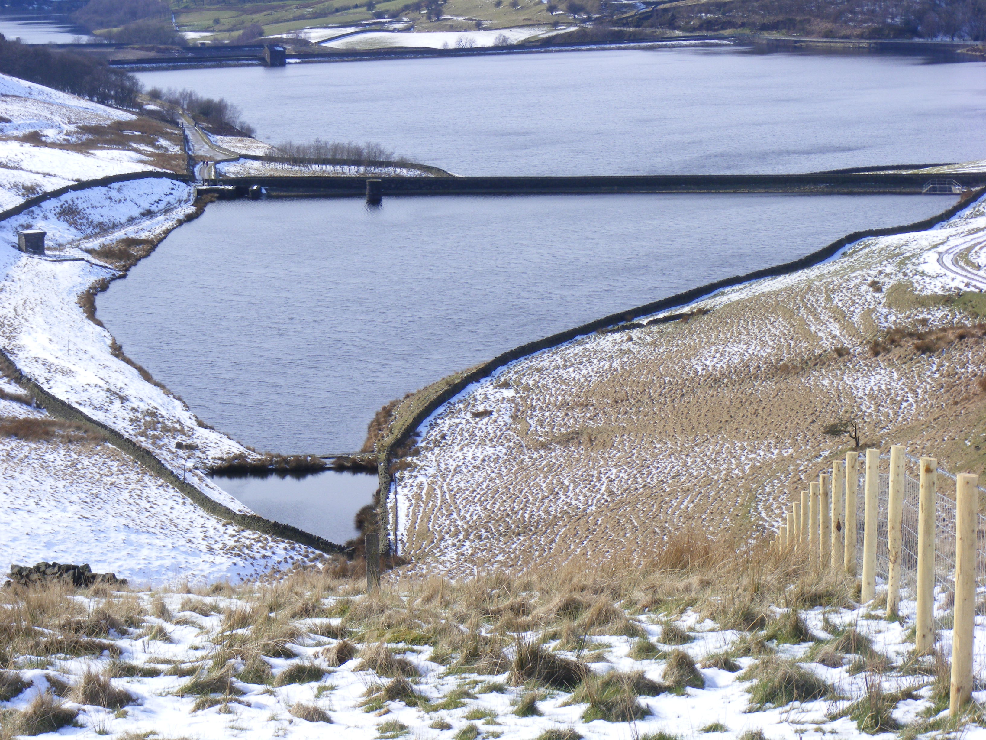
Piethorne Reservoir is a picturesque freshwater reservoir located in the county of Lancashire, England. It is nestled amidst the beautiful natural surroundings of the Pennine Hills, making it a popular destination for both locals and tourists seeking a tranquil escape.
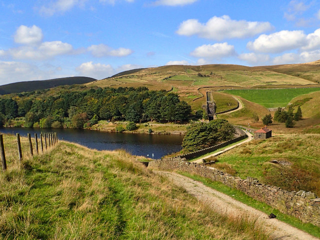
Covering an area of approximately 30 hectares, Piethorne Reservoir is classified as a lake due to its size and depth. It was originally constructed in the early 19th century to provide water for the nearby Rochdale Canal, but it has since become a recreational spot for boating, fishing, and birdwatching.
The reservoir is surrounded by lush greenery and offers stunning views of the rolling hills and valleys. Its calm waters are home to a variety of fish species, including trout, perch, and pike, making it a haven for anglers. Fishing permits can be obtained from the local authorities, ensuring sustainable and responsible fishing practices.
Piethorne Reservoir is also a haven for bird enthusiasts. The marshy areas surrounding the reservoir provide an ideal habitat for a wide range of bird species, including swans, ducks, herons, and various migratory birds. Birdwatchers can often spot these beautiful creatures in their natural environment, especially during the breeding season.
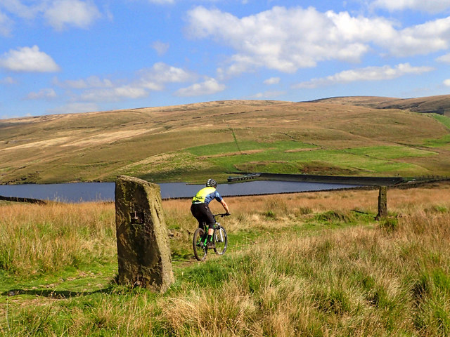
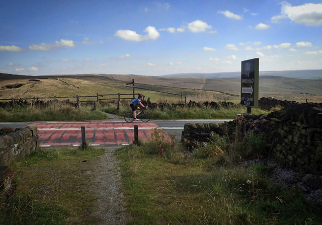
The reservoir is easily accessible and has a well-maintained footpath that encircles its perimeter, allowing visitors to enjoy leisurely walks or bike rides while taking in the breathtaking scenery. There are also picnic areas scattered around the reservoir, providing a perfect spot for a family outing or a peaceful picnic amidst nature.
In conclusion, Piethorne Reservoir in Lancashire offers a serene and idyllic setting for outdoor enthusiasts, providing opportunities for fishing, birdwatching, and leisurely walks. Its natural beauty and tranquility make it a must-visit destination for those seeking a peaceful retreat.
If you have any feedback on the listing, please let us know in the comments section below.
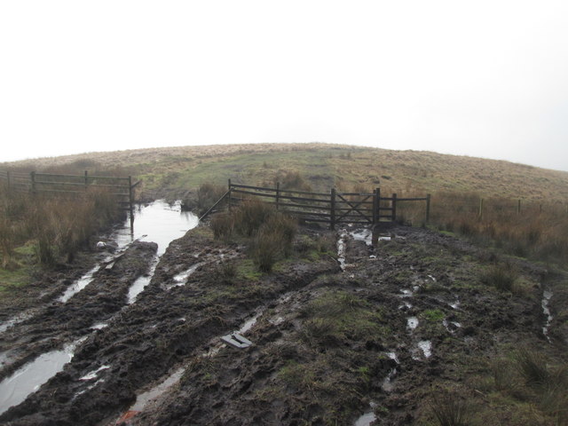
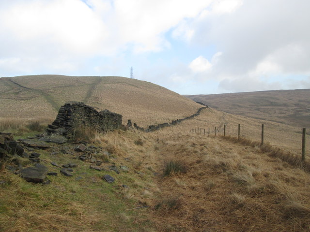
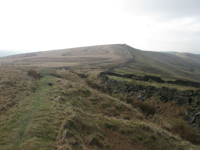
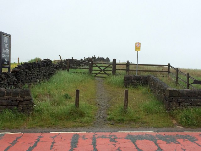
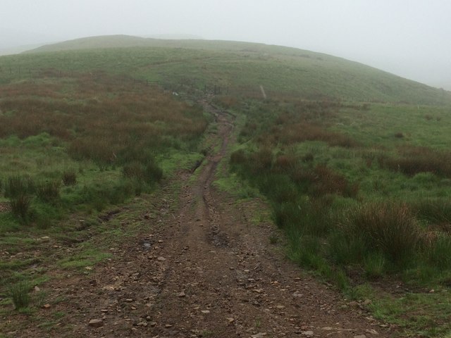
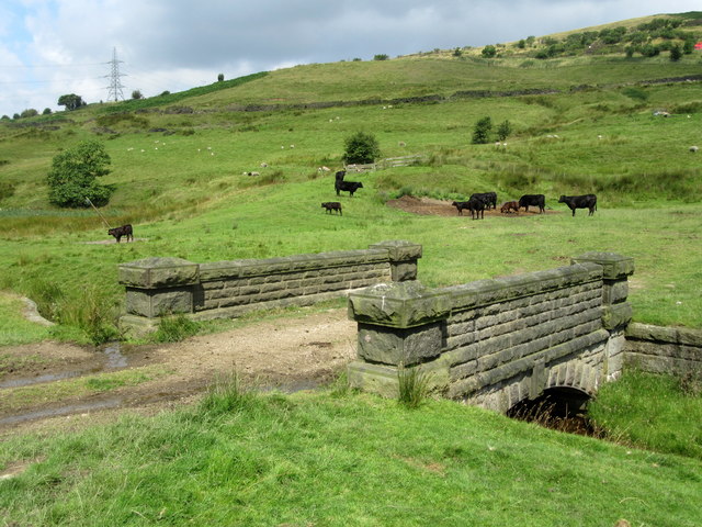
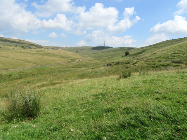
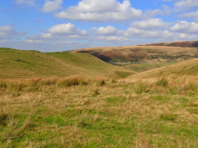
Piethorne Reservoir Images
Images are sourced within 2km of 53.609771/-2.0550381 or Grid Reference SD9612. Thanks to Geograph Open Source API. All images are credited.


Piethorne Reservoir is located at Grid Ref: SD9612 (Lat: 53.609771, Lng: -2.0550381)
Unitary Authority: Rochdale
Police Authority: Greater Manchester
What 3 Words
///risks.torch.diverged. Near Milnrow, Manchester
Related Wikis

Piethorne Reservoir
Piethorne Reservoir is the largest of several reservoirs in the Piethorne Valley above Newhey, by Milnrow, in the Metropolitan Borough of Rochdale, Greater...

Kitcliffe Reservoir
Kitcliffe Reservoir is a reservoir in Piethorne Valley in between Ogden and Piethorne Reservoirs in the Metropolitan Borough of Rochdale, within Greater...
Hanging Lees Reservoir
Hanging Lees Reservoir is a small reservoir in the Piethorne Valley in the Metropolitan Borough of Rochdale, within Greater Manchester, England. It is...

Norman Hill Reservoir
Norman Hill Reservoir is a reservoir in the Piethorne Valley in the Metropolitan Borough of Rochdale, within Greater Manchester, England. == References ==

Rooden Reservoir
Rooden Reservoir is a reservoir in the Piethorne Valley in the Metropolitan Borough of Rochdale, within Greater Manchester, England. It is close to Denshaw...

Ogden Reservoir (Greater Manchester)
Ogden Reservoir is a reservoir in the Piethorne Valley, close to Milnrow and Newhey in the Metropolitan Borough of Rochdale, within Greater Manchester...

Tunshill
Tunshill is a hamlet at the northeastern edge of Milnrow, within the Metropolitan Borough of Rochdale, in Greater Manchester, England. It lies amongst...

Crompton Moor
Crompton Moor (archaically known as High Moor) is an area of moorland in the South Pennines, in North West England. It lies along the northeastern outskirts...
Nearby Amenities
Located within 500m of 53.609771,-2.0550381Have you been to Piethorne Reservoir?
Leave your review of Piethorne Reservoir below (or comments, questions and feedback).