Crossroads

Settlement in Ayrshire

Scotland

Crossroads

Minor road near Mosside
Minor road near Mosside Credit: Steven Brown

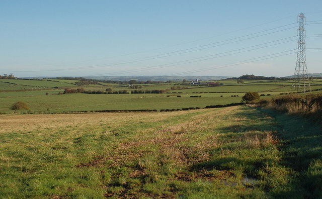
Crossroads is a small village located in Ayrshire, Scotland. Situated about 5 miles southeast of the town of Kilmarnock, Crossroads falls within the East Ayrshire council area. The village is surrounded by rolling hills and scenic countryside, offering a picturesque setting for its residents.

Despite its small size, Crossroads has a close-knit community and a friendly atmosphere. The village is primarily residential, with a mix of traditional cottages and modern houses. The main street of Crossroads features a few local shops, including a convenience store and a post office, catering to the daily needs of the residents.

Crossroads benefits from its proximity to larger towns and cities. Kilmarnock, with its wider range of amenities and services, is easily accessible by car or public transportation. The village also enjoys good transportation links, with regular bus services connecting it to nearby towns.

For outdoor enthusiasts, Crossroads offers plenty of opportunities for exploring the surrounding countryside. The area is known for its scenic walking trails, cycling routes, and fishing spots. Additionally, the nearby Dean Castle and Country Park provides a great destination for family outings, featuring beautiful gardens, woodland walks, and a castle dating back to the 14th century.

Overall, Crossroads is a peaceful and charming village in Ayrshire, offering a tranquil lifestyle amidst beautiful natural surroundings.

If you have any feedback on the listing, please let us know in the comments section below.
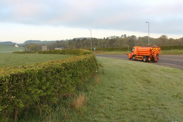
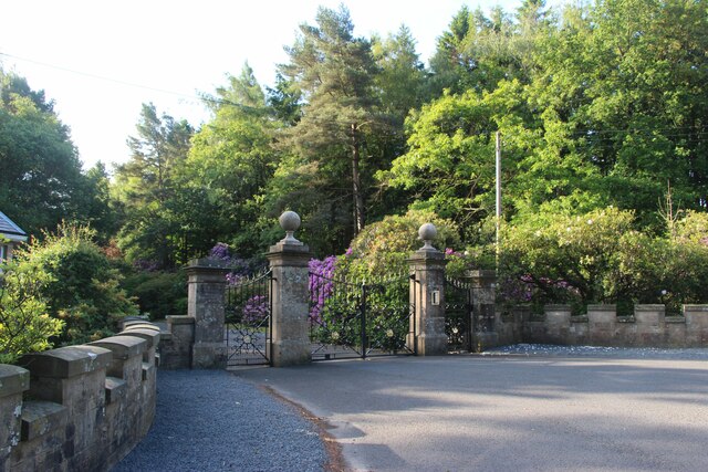
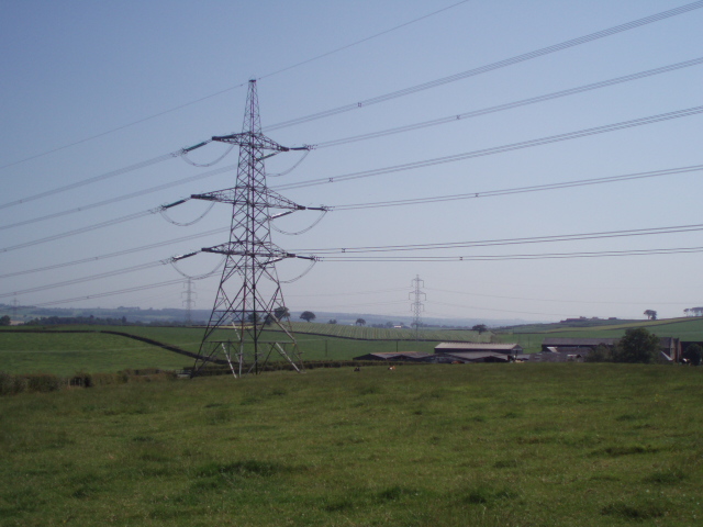
Crossroads Images

Images are sourced within 2km of 55.57595/-4.428159 or Grid Reference NS4734. Thanks to Geograph Open Source API. All images are credited.

Minor road near Mosside
HM Prison Kilmarnock from the air The prison is located to the south east of Kilmarnock, near Hurlford. The Kilmarnock to Dumfries railway line is in the foreground of the photo, with the A76 Kilmarnock to Dumfries road beyond the prison.
HM Prison Kilmarnock from the air
The prison is located to the south east of Kilmarnock, near Hurlford. The Kilmarnock to Dumfries railway line is in the foreground of the photo, with the A76 Kilmarnock to Dumfries road beyond the prison.
Kilmarnock - Dumfries railway line
Country road at West Overland
A719 at Crossroads
A719 at Crossroads
A76 through farmland at Crossroads
A719 leading Northeast from Crossroads
Beech trees at Knowehead
Farmyard at Woodhead
Minor road near Ashyard
A719 road junction near Ashyard
A row of trees at Dallars Mixed farmland near Kilmarnock.
A row of trees at Dallars
Mixed farmland near Kilmarnock.
East Mosside, a farm
Ornamental gateway to Carnell
Purrock Farm Pylons passing through the fields at Purock Farm
Purrock Farm
Pylons passing through the fields at Purock Farm
HM Prison Prison just outside Kilmarnock on the A76
HM Prison
Prison just outside Kilmarnock on the A76
Show me another place!

Crossroads is located at Grid Ref: NS4734 (Lat: 55.57595, Lng: -4.428159)

Unitary Authority: East Ayrshire

Police Authority: Ayrshire

What 3 Words

///eagle.employers.reef. Near Galston, East Ayrshire

Nearby Locations

Crossroads

Related Wikis

Lands of Dallars

The Lands of Dallars or Auchenskeith (NS463337) form a small estate in East Ayrshire, Hurlford, Kilmarnock, Parish of Riccarton, Scotland. The present...

HM Prison Kilmarnock

HM Prison Kilmarnock is a prison in Bowhouse, Hurlford near Kilmarnock, East Ayrshire, Scotland. It is situated 3 miles (5 km) south-east of Hurlford on...

Carnell Estate

Carnell House is a mansion house and estate near the village of Hurlford about 5 miles (8.0 km) south-east of Kilmarnock in South Ayrshire, Scotland, 25...

Barleith railway station

Barleith railway station was a railway station near Hurlford, East Ayrshire, Scotland. The station was built by the Glasgow and South Western Railway on...

Nearby Amenities

Located within 500m of 55.57595,-4.428159
Bus Stop
Lat/Long: 55.5748285/-4.4282119
Bus Stop
Lat/Long: 55.5744938/-4.4272228
Post Box
Lat/Long: 55.5758508/-4.4278783
Entrance: yes
Lat/Long: 55.5752082/-4.4271309
Entrance: yes
Lat/Long: 55.5752317/-4.4273361
Power: pole
Lat/Long: 55.5752397/-4.435866
Power: pole
Lat/Long: 55.57514/-4.4348662
Power: pole
Lat/Long: 55.5750479/-4.4340021
Power: pole
Lat/Long: 55.5749482/-4.4330588
Power: pole
Lat/Long: 55.5741105/-4.4329321
Power: pole
Lat/Long: 55.5734507/-4.4328462
Power: pole
Lat/Long: 55.5727396/-4.4327467
Power: pole
Lat/Long: 55.5759622/-4.4277657
Power: pole
Lat/Long: 55.5765236/-4.4271414
Power: pole
Lat/Long: 55.5771783/-4.4264198
Power: pole
Lat/Long: 55.5777601/-4.425558
Power: pole
Lat/Long: 55.5779954/-4.4247731
Power: pole
Lat/Long: 55.5782869/-4.4238004
Power: pole
Lat/Long: 55.5788675/-4.4232758
Power: pole
Lat/Long: 55.5788648/-4.4237981
Power: pole
Lat/Long: 55.5788623/-4.4243048
Power: pole
Lat/Long: 55.5788636/-4.4245514
Power: pole
Lat/Long: 55.578861/-4.4253951
Crossroads
Place: village
Lat/Long: 55.5758778/-4.4281056
The data included in this document is from www.openstreetmap.org. The data is made available under ODbL.

Have you been to Crossroads?

Leave your review of Crossroads below (or comments, questions and feedback).