Crossroads

Settlement in Fife

Scotland

Crossroads

Approaching Buckhaven From the Fife Coastal Path.
Approaching Buckhaven Credit: James Allan

Crossroads is a small village located in the region of Fife, Scotland. Situated about 5 miles northwest of the town of Cupar, it is nestled amidst the scenic countryside of this picturesque area. The village derives its name from its geographical location, which serves as a crossroads between several important routes.

The settlement primarily consists of residential properties, with a population of approximately 500 residents. It offers a peaceful and tranquil environment, making it an ideal place for those seeking a quieter way of life away from the hustle and bustle of larger towns and cities. The community in Crossroads is known for its friendly and welcoming nature, fostering a strong sense of community spirit.

Despite its small size, Crossroads boasts a number of amenities to cater to the needs of its residents. These include a local convenience store for everyday necessities, a post office, and a village hall that serves as a hub for community activities and events. The village is also home to a primary school, providing education for local children.

Surrounded by stunning landscapes, Crossroads offers ample opportunities for outdoor activities. The nearby countryside provides scenic walking and cycling routes, allowing residents to explore the beauty of the surrounding area. Additionally, the village is within close proximity to several nature reserves and parks, offering further opportunities for outdoor recreation.

Overall, Crossroads, Fife, offers a peaceful and close-knit community in a beautiful rural setting, making it an attractive place to reside for those seeking a slower pace of life amidst stunning natural surroundings.

If you have any feedback on the listing, please let us know in the comments section below.
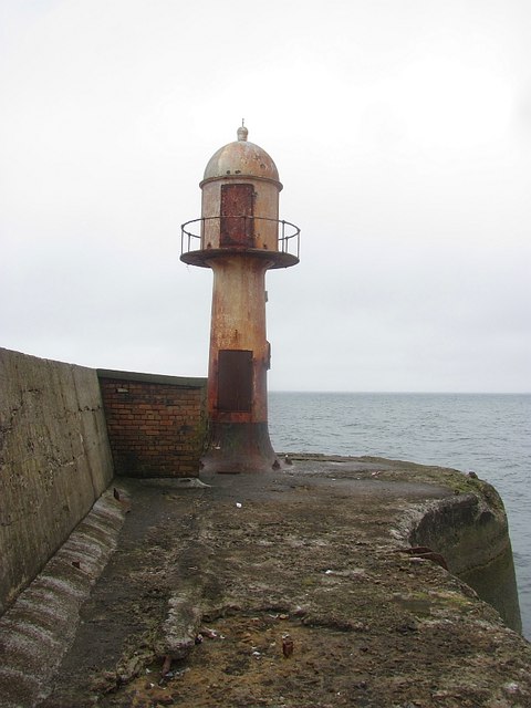
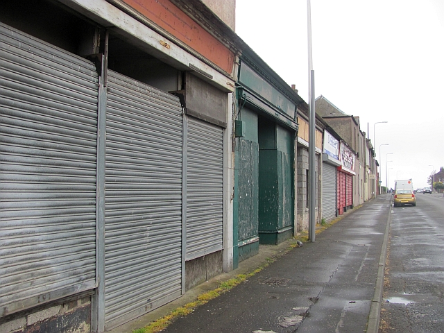
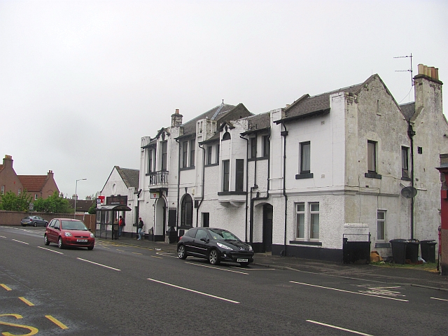
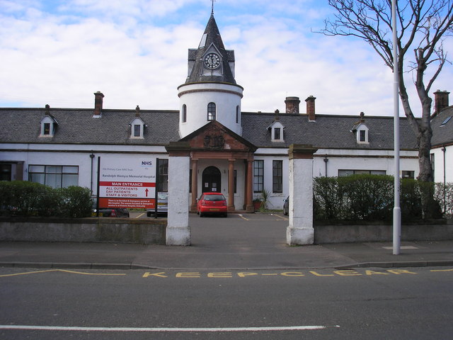
Crossroads Images

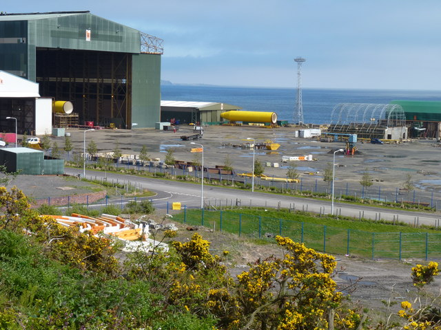
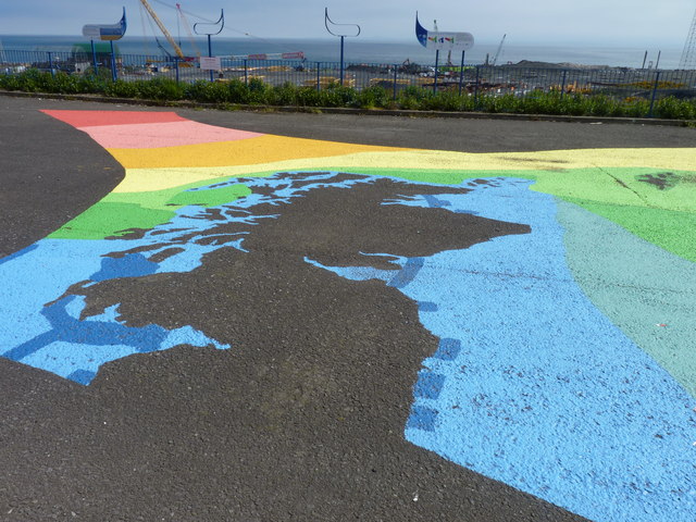
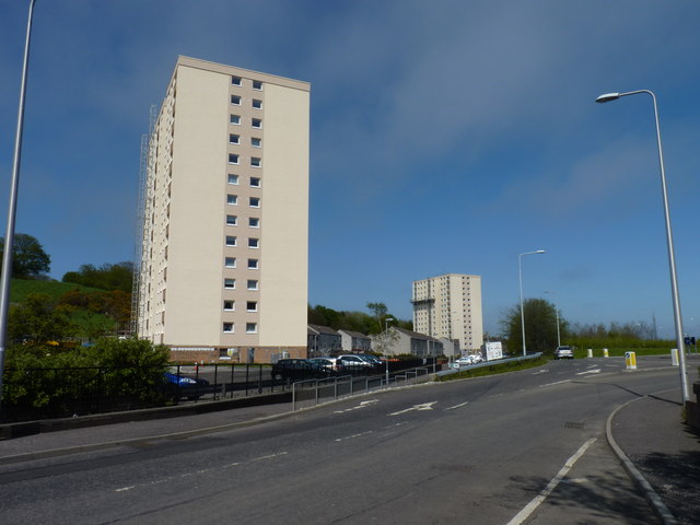
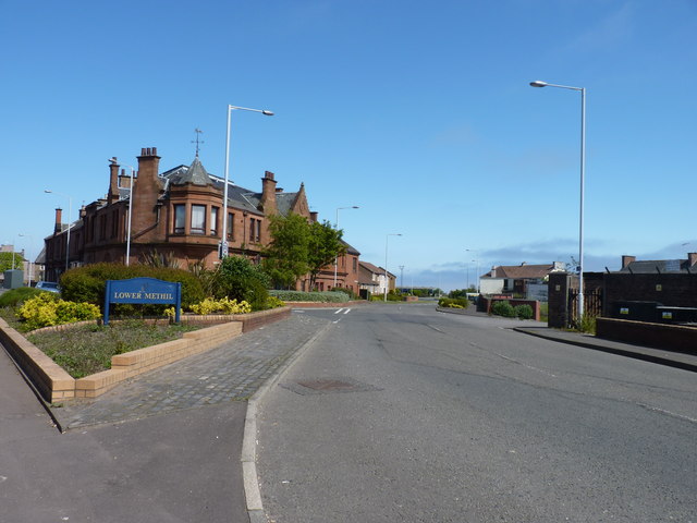
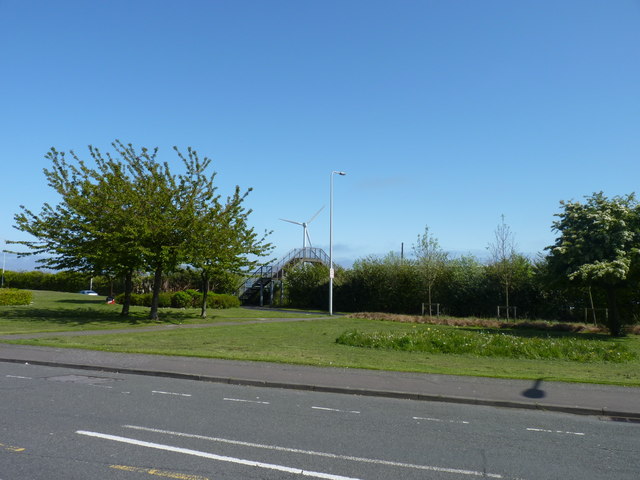
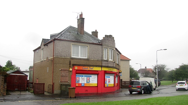
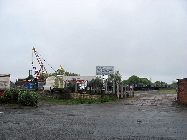
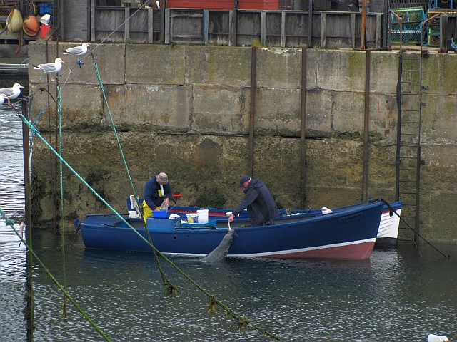
Images are sourced within 2km of 56.179321/-3.0325271 or Grid Reference NT3699. Thanks to Geograph Open Source API. All images are credited.

Approaching Buckhaven From the Fife Coastal Path.
Approaching Buckhaven
From the Fife Coastal Path.
Ascent into Buckhaven Broad steps on the Fife Coastal Path as it nears the outskirts of Buckhaven.
Ascent into Buckhaven
Broad steps on the Fife Coastal Path as it nears the outskirts of Buckhaven.
Carpet warehouse This building on Randolph Street, Buckhaven looks as though it was built for something other than its current function as a carpet warehouse. The Fife Coastal Path goes along this street.
Carpet warehouse
This building on Randolph Street, Buckhaven looks as though it was built for something other than its current function as a carpet warehouse. The Fife Coastal Path goes along this street.
Buckhaven Baptist Church On College Street, Buckhaven which forms a not very coastal section of the Fife Coastal Path.
Buckhaven Baptist Church
On College Street, Buckhaven which forms a not very coastal section of the Fife Coastal Path.
Modern hospital A recent extension to the Raldolph Wemyss Memorial Hospital in Buckhaven. A distinct architectural contrast to the older hospital next door <a href="https://www.geograph.org.uk/photo/1365681">NT3698 : Randolph Wemyss Hospital, Buckhaven</a>.
Modern hospital
A recent extension to the Raldolph Wemyss Memorial Hospital in Buckhaven. A distinct architectural contrast to the older hospital next door NT3698 : Randolph Wemyss Hospital, Buckhaven.
Fife Energy Park The main hangar/workshop where manufacture and assembly of wind turbines, wave energy equipment and tidal power plant is carried out.
Fife Energy Park
The main hangar/workshop where manufacture and assembly of wind turbines, wave energy equipment and tidal power plant is carried out.
Coloured concrete Alongside the Fife Energy Park there is a vast coloured explanatory open-air map display showing the amounts of wind, wave and tidal power theoretically available around the British Isles.
Coloured concrete
Alongside the Fife Energy Park there is a vast coloured explanatory open-air map display showing the amounts of wind, wave and tidal power theoretically available around the British Isles.
High-rise in Methill Blocks of apartments, currently undergoing refurbishment.
High-rise in Methill
Blocks of apartments, currently undergoing refurbishment.
Lower Methill The entrance to the village alongside Methill Docks.
Lower Methill
The entrance to the village alongside Methill Docks.
Turbine and foot bridge A modern wind turbine at Methill Docks alongside an old footbridge across a vanished railway.
Turbine and foot bridge
A modern wind turbine at Methill Docks alongside an old footbridge across a vanished railway.
Arable land near Windygates Looking over cereals towards Cameron Hospital.
Arable land near Windygates
Looking over cereals towards Cameron Hospital.
Methilhill Sign on the way into Methilhill.
Methilhill
Sign on the way into Methilhill.
Shop, Laburnum Road, Methil
Site of Methil station The station on the Wemyss and Buckhaven Railway was situated here. There was a dispute with the Wemyss Estate who unhappy with the coal hauling services of the North British Railway went and built their own line to Methil Docks.
Site of Methil station
The station on the Wemyss and Buckhaven Railway was situated here. There was a dispute with the Wemyss Estate who unhappy with the coal hauling services of the North British Railway went and built their own line to Methil Docks.
Harbour, Methil Not all the catch makes it ashore.
Harbour, Methil
Not all the catch makes it ashore.
Light at the end of the pier, Methil No fishermen here today, but their rubbish and bodily waste was quite obviously noticeable.
Light at the end of the pier, Methil
No fishermen here today, but their rubbish and bodily waste was quite obviously noticeable.
Shops, Wellesley Road Almost all boarded up.
Shops, Wellesley Road
Almost all boarded up.
The Wellesley Arms Pub in Buckhaven.
The Wellesley Arms
Pub in Buckhaven.
Show me another place!

Crossroads is located at Grid Ref: NT3699 (Lat: 56.179321, Lng: -3.0325271)

Unitary Authority: Fife

Police Authority: Fife

What 3 Words

///ship.music.joke. Near Buckhaven, Fife

Nearby Locations

Methil Crossroads

Related Wikis

Buckhaven

Buckhaven is a town on the east coast of Fife, Scotland, on the Firth of Forth between East Wemyss and Methil. Buckhaven is on the Fife Coastal Path,...

Randolph Wemyss Memorial Hospital

Randolph Wemyss Memorial Hospital is a community hospital located in Buckhaven, Fife. It is managed by NHS Fife. == History == The original hospital was...

Buckhaven High School

Buckhaven High School was a six-year co-educational non-denominational comprehensive school in Buckhaven, Fife, Scotland. In the past, Buckhaven was Levenmouth...

Methil

Methil (Scottish Gaelic: Meadhchill) is an eastern coastal town in Scotland. It was first recorded as "Methkil" in 1207, and belonged to the Bishop of...

Nearby Amenities

Located within 500m of 56.179321,-3.0325271
Turning Circle
Lat/Long: 56.1774255/-3.031942
Crossing
Crossing: traffic_signals
Lat/Long: 56.1762469/-3.0277639
Crossing
Crossing: traffic_signals
Crossing Island: no
Tactile Paving: yes
Lat/Long: 56.1835197/-3.0327295
Traffic Calming: cushion
Lat/Long: 56.1797793/-3.0339574
Traffic Calming: cushion
Lat/Long: 56.1796266/-3.0296894
Traffic Calming: cushion
Lat/Long: 56.1795665/-3.0273614
Traffic Calming: cushion
Lat/Long: 56.1788326/-3.0250563
Traffic Calming: cushion
Lat/Long: 56.1789637/-3.0284379
Telephone
Booth: KX100
Covered: booth
Mapillary: 2838335106480120
Survey Date: 2019-06-22
Lat/Long: 56.1757322/-3.0287802
Bus Stop
Bus: yes
Naptan AtcoCode: 6500K0560
Naptan NaptanCode: 34327969
Public Transport: platform
Lat/Long: 56.1767758/-3.0271226
Bus Stop
Bus: yes
Public Transport: platform
Lat/Long: 56.1773088/-3.0259451
Traffic Calming: cushion
Lat/Long: 56.1780068/-3.0254704
Bus Stop
Bus: yes
Naptan AtcoCode: 6500K0558
Naptan NaptanCode: 34327948
Public Transport: platform
Lat/Long: 56.1754455/-3.0292308
Recycling
Lat/Long: 56.1758247/-3.0288446
Traffic Calming: cushion
Lat/Long: 56.1769639/-3.0342196
Traffic Calming: cushion
Lat/Long: 56.177492/-3.0273078
Traffic Calming: cushion
Lat/Long: 56.1776348/-3.0336606
Traffic Calming: cushion
Lat/Long: 56.1782518/-3.0379233
Traffic Calming: cushion
Lat/Long: 56.1779548/-3.0327393
Crossing
Crossing: traffic_signals
Crossing Island: no
Tactile Paving: yes
Lat/Long: 56.1800113/-3.0357748
Traffic Calming: cushion
Lat/Long: 56.1781796/-3.0379488
Bus Stop
Bus: yes
Naptan AtcoCode: 6500K0540
Naptan NaptanCode: 34327976
Public Transport: platform
Lat/Long: 56.177273/-3.0338898
Post Box
Brand: Royal Mail
Brand Wikidata: Q638098
Brand Wikipedia: en:Royal Mail
Collection Times: Mo-Fr 09:00; Sa 07:00
Operator: Royal Mail
Operator Wikidata: Q638098
Post Box Type: pillar
Ref: KY8 223D
Royal Cypher: GR
Royal Cypher Wikidata: Q33102273
Lat/Long: 56.1770923/-3.0339569
Bus Stop
Bus: yes
Naptan AtcoCode: 6500K0542
Naptan NaptanCode: 34327954
Public Transport: platform
Lat/Long: 56.1757008/-3.0360893
Traffic Calming: cushion
Lat/Long: 56.179137/-3.0309753
Traffic Calming: cushion
Lat/Long: 56.1779535/-3.0280844
Crossing
Crossing: traffic_signals
Crossing Island: no
Tactile Paving: yes
Lat/Long: 56.1778596/-3.0368821
Bus Stop
Bus: yes
Naptan AtcoCode: 6500K0541
Naptan NaptanCode: 34327953
Public Transport: platform
Lat/Long: 56.1754933/-3.0365586
Traffic Calming: cushion
Lat/Long: 56.1791204/-3.035263
Traffic Calming: cushion
Lat/Long: 56.1757388/-3.0315751
Traffic Calming: cushion
Lat/Long: 56.1768523/-3.0327839
Traffic Calming: cushion
Lat/Long: 56.1751259/-3.0309128
Traffic Calming: cushion
Lat/Long: 56.1761122/-3.0354919
Traffic Calming: cushion
Lat/Long: 56.1781239/-3.0388862
Traffic Calming: cushion
Lat/Long: 56.176771/-3.0378965
Bench
Lat/Long: 56.1784981/-3.0392548
Waste Basket
Lat/Long: 56.1784921/-3.039295
Waste Basket
Lat/Long: 56.1784011/-3.0393486
Traffic Calming: cushion
Lat/Long: 56.1786694/-3.0389328
Recycling
Lat/Long: 56.1784331/-3.0394492
Bench
Lat/Long: 56.1783847/-3.0393272
Traffic Calming: cushion
Lat/Long: 56.1775336/-3.0375002
Traffic Calming: cushion
Lat/Long: 56.1774712/-3.0398333
Traffic Calming: cushion
Lat/Long: 56.178018/-3.0401392
Traffic Calming: cushion
Lat/Long: 56.1776787/-3.0385749
Traffic Calming: cushion
Lat/Long: 56.176863/-3.0389926
Bank
TSB
Brand: TSB
Brand Wikidata: Q7671560
Brand Wikipedia: en:TSB Bank (United Kingdom)
Lat/Long: 56.1754401/-3.031036
Atm
Lat/Long: 56.1754092/-3.0309823
Denbeath
Place: suburb
Lat/Long: 56.1775297/-3.0300941
Fast Food
Ali's Fish Bar
Cuisine: fish_and_chips
Lat/Long: 56.1751538/-3.0307208
Generator Method: photovoltaic
Generator Output Electricity: yes
Generator Source: solar
Generator Type: solar_photovoltaic_panel
Power: generator
Lat/Long: 56.1786557/-3.0344456
Generator Method: photovoltaic
Generator Output Electricity: yes
Generator Source: solar
Generator Type: solar_photovoltaic_panel
Power: generator
Lat/Long: 56.1785505/-3.0343745
Bus Stop
Bus: yes
Naptan AtcoCode: 6500K1424
Naptan NaptanCode: 34328234
Public Transport: platform
Lat/Long: 56.1781169/-3.034318
Bus Stop
Bus: yes
Naptan AtcoCode: 6500K0539
Naptan NaptanCode: 34327986
Public Transport: platform
Lat/Long: 56.1777531/-3.0336925
Traffic Calming: cushion
Lat/Long: 56.1784151/-3.0320508
Traffic Calming: cushion
Lat/Long: 56.1795248/-3.03136
Post Box
Brand: Royal Mail
Brand Wikidata: Q638098
Brand Wikipedia: en:Royal Mail
Collection Times: Mo-Fr 09:00; Sa 07:00
Operator: Royal Mail
Operator Wikidata: Q638098
Post Box Type: pillar
Ref: KY8 178D
Royal Cypher: scottish_crown
Lat/Long: 56.1779223/-3.0369632
Crossing
Crossing: unmarked
Crossing Markings: no
Tactile Paving: yes
Lat/Long: 56.1780121/-3.0370246
Crossing
Crossing: unmarked
Crossing Markings: no
Tactile Paving: yes
Lat/Long: 56.1780888/-3.0369822
Bus Stop
Bench: no
Bus: yes
Public Transport: platform
Shelter: yes
Lat/Long: 56.1777069/-3.0368735
Bus Stop
Bus: yes
Public Transport: platform
Lat/Long: 56.1782869/-3.0367609
Bus Stop
Bus: yes
Public Transport: platform
Shelter: yes
Lat/Long: 56.1797465/-3.0358219
Crossing
Crossing: unmarked
Tactile Paving: yes
Lat/Long: 56.181854/-3.0345952
Bus Stop
Bin: yes
Bus: yes
Lit: yes
Naptan AtcoCode: 6500K0499
Naptan NaptanCode: 34328285
Public Transport: platform
Shelter: yes
Lat/Long: 56.1828364/-3.0335015
Barrier: cycle_barrier
Lat/Long: 56.1760386/-3.0380323
Information: board
Tourism: information
Lat/Long: 56.1795187/-3.0362257
Traffic Calming: cushion
Lat/Long: 56.1836036/-3.0305604
Generator Method: photovoltaic
Generator Output Electricity: yes
Generator Source: solar
Generator Type: solar_photovoltaic_panel
Power: generator
Lat/Long: 56.1781484/-3.0265083
The data included in this document is from www.openstreetmap.org. The data is made available under ODbL.

Have you been to Crossroads?

Leave your review of Crossroads below (or comments, questions and feedback).