Crossroads

Settlement in Kincardineshire

Scotland

Crossroads

River Dee from Durris Bridge Looking upstream of the River Dee from the A957 Durris Bridge.
River Dee from Durris Bridge Credit: Scott Cormie

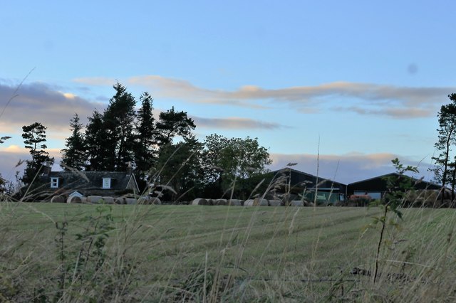
Crossroads is a small village located in the county of Kincardineshire, Scotland. Situated in the northeastern part of the country, it lies approximately 18 miles south of Aberdeen. With a population of around 600 residents, it is a tight-knit community known for its picturesque surroundings and friendly atmosphere.

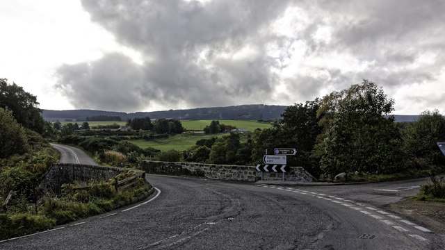
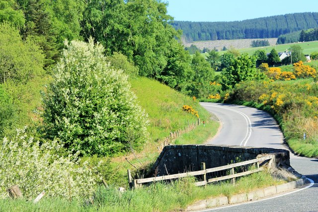
The village gets its name from its geographical location, as it is situated at the crossroads of two major roads. This strategic positioning has made Crossroads a convenient stopping point for travelers passing through the area. The village is well-connected to neighboring towns and cities, making it easily accessible by both car and public transport.

Despite its small size, Crossroads boasts a range of amenities for its residents. These include a primary school, a community center, a local pub, and a small convenience store. The primary school serves as the educational hub for children in the village and surrounding areas.

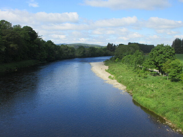
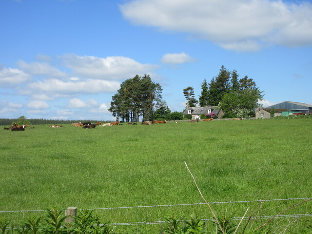
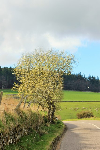
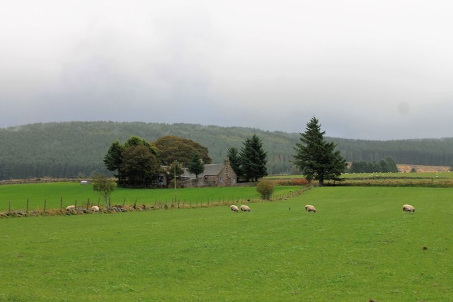
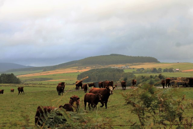
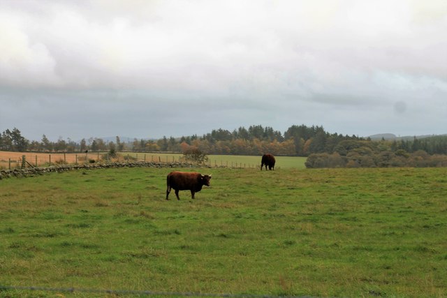
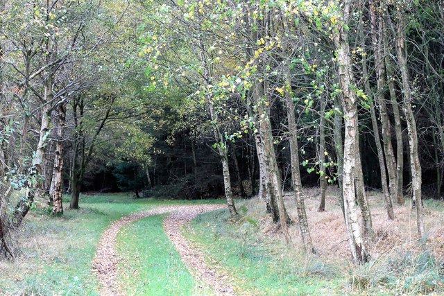
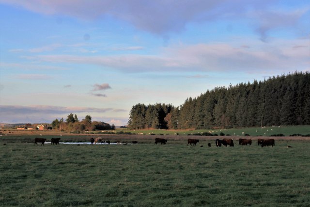
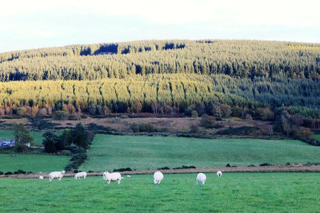
Crossroads also benefits from its proximity to the stunning Scottish countryside. Many residents and visitors take advantage of the numerous walking trails and outdoor recreational opportunities available in the vicinity. The village is surrounded by lush green fields, rolling hills, and picturesque farmland, offering a peaceful and tranquil environment.

Overall, Crossroads is a charming and close-knit village that offers a peaceful and idyllic escape from the hustle and bustle of city life. Its picturesque location, friendly community, and range of amenities make it a highly desirable place to live or visit in Kincardineshire.

If you have any feedback on the listing, please let us know in the comments section below.

Crossroads Images

Images are sourced within 2km of 57.038329/-2.413026 or Grid Reference NO7594. Thanks to Geograph Open Source API. All images are credited.

River Dee from Durris Bridge Looking upstream of the River Dee from the A957 Durris Bridge.
River Dee from Durris Bridge
Looking upstream of the River Dee from the A957 Durris Bridge.
Cattle at East Funach Resting cattle in a field with East Funach in the background.
Cattle at East Funach
Resting cattle in a field with East Funach in the background.
Brighton Farm Fields
Durris Bridge over the River Dee
Junction on the A957 at Blairydryne
Blairydryne Bridge A tight turn on the Slug Road to Stonehaven, it looks innocuous in summer but can be tricky in winter.
Blairydryne Bridge
A tight turn on the Slug Road to Stonehaven, it looks innocuous in summer but can be tricky in winter.
Tree on a bend A young tree on a bend of the A957 Slug road just south of Quinthelhead.
Tree on a bend
A young tree on a bend of the A957 Slug road just south of Quinthelhead.
Barns Barn Barns Farm and its roadside barn just off the old Slug Road.
Barns Barn
Barns Farm and its roadside barn just off the old Slug Road.
Where Old Meets New The junction of the old and new Slug Roads, 12 miles from Stonehaven!
Where Old Meets New
The junction of the old and new Slug Roads, 12 miles from Stonehaven!
Northbrae Entrance The entrance to Northbrae farm.
Northbrae Entrance
The entrance to Northbrae farm.
Sheep by Lochton Grazing land by Lochton looking towards Quair Cottage on the Slug Road.
Sheep by Lochton
Grazing land by Lochton looking towards Quair Cottage on the Slug Road.
Cattle by Lochton Cattle in a field by Lochton from the Wardend road.
Cattle by Lochton
Cattle in a field by Lochton from the Wardend road.
Crossing the Sheeoch A bridge over the Sheeoch Burn and poly tunnels by Wardend Cottages.
Crossing the Sheeoch
A bridge over the Sheeoch Burn and poly tunnels by Wardend Cottages.
Cattle at Wardend Cattle in a field by Wardend Cottages.
Cattle at Wardend
Cattle in a field by Wardend Cottages.
Cairnfauld Path A path entering Cainfauld Wood.
Cairnfauld Path
A path entering Cainfauld Wood.
Cattle by a Pool Cattle grazing by Calladrum.
Cattle by a Pool
Cattle grazing by Calladrum.
Sheep Pasture Sheep grazing with the woods of Mundernal behind
Sheep Pasture
Sheep grazing with the woods of Mundernal behind
East Funach East Funach farm from the roadside.
East Funach
East Funach farm from the roadside.
Show me another place!

Crossroads is located at Grid Ref: NO7594 (Lat: 57.038329, Lng: -2.413026)

Unitary Authority: Aberdeenshire

Police Authority: North East

What 3 Words

///nightfall.kinder.disclose. Near Banchory, Aberdeenshire

Nearby Locations

Crossroads

Related Wikis

Banchory St Ternan F.C.

Banchory St. Ternan Football Club are a Scottish Junior football club based in Crathes, two miles outside the town of Banchory, Aberdeenshire. The club...

Coy Burn

Coy Burn is a stream that rises in the hills north of Banchory in Aberdeenshire, Scotland. Coy Burn discharges to the River Dee at Milton of Crathes....

Lochton

Lochton is a settlement on the Slug Road in Aberdeenshire, Scotland. Roman legions marched from Raedykes to Normandykes Roman Camp somewhat east of Lochton...

Milton of Crathes

Milton of Crathes is a complex of restored 17th-century stone buildings, associated with, and previously an outlier of, Crathes Castle in Aberdeenshire...

Nearby Amenities

Located within 500m of 57.038329,-2.413026
Power: pole
Lat/Long: 57.0364832/-2.4065232
Power: pole
Lat/Long: 57.0366302/-2.4077061
Power: pole
Lat/Long: 57.0367845/-2.4089514
Power: pole
Lat/Long: 57.0360545/-2.409779
Power: pole
Lat/Long: 57.0364483/-2.4093482
Power: pole
Lat/Long: 57.0371577/-2.409471
Power: pole
Lat/Long: 57.0376687/-2.4101759
Power: pole
Lat/Long: 57.0381529/-2.4108372
Power: pole
Lat/Long: 57.0387287/-2.4116441
Power: pole
Lat/Long: 57.0385128/-2.4123244
Power: pole
Lat/Long: 57.0382938/-2.4128875
Power: pole
Lat/Long: 57.0385395/-2.4137322
Power: pole
Lat/Long: 57.0381725/-2.4151419
Power: pole
Lat/Long: 57.0379124/-2.4161755
Power: pole
Lat/Long: 57.0376543/-2.4171884
Power: pole
Lat/Long: 57.0373952/-2.4181975
Power: pole
Lat/Long: 57.037864/-2.4193029
Power: pole
Lat/Long: 57.0383144/-2.4204159
Power: pole
Lat/Long: 57.0409067/-2.4082465
Power: pole
Lat/Long: 57.0404584/-2.4074302
Power: pole
Lat/Long: 57.0400133/-2.406578
Power: pole
Lat/Long: 57.0394848/-2.4058807
Power: pole
Lat/Long: 57.0389482/-2.4051645
Power: pole
Lat/Long: 57.0387611/-2.4054838
Power: pole
Lat/Long: 57.038247/-2.406389
Power: pole
Lat/Long: 57.0377216/-2.4072922
Power: pole
Lat/Long: 57.0372096/-2.4081974
The data included in this document is from www.openstreetmap.org. The data is made available under ODbL.

Have you been to Crossroads?

Leave your review of Crossroads below (or comments, questions and feedback).