King's Wood

Wood, Forest in Worcestershire Wychavon

England

King's Wood

Country road near Stock Green This road approaches a t-junction in a small hamlet which is not named on the OS map.
Country road near Stock Green Credit: Philip Halling

King's Wood is a large forest located in Worcestershire, England. Covering an area of approximately 1,200 acres, it is one of the largest woodland areas in the region. The wood is situated near the village of Rock, about 10 miles southwest of the city of Worcester.

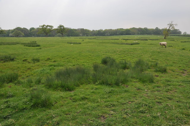
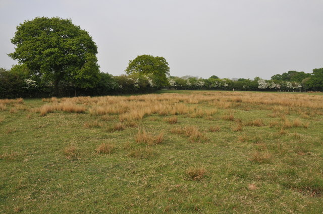
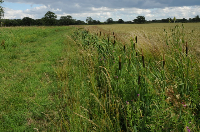
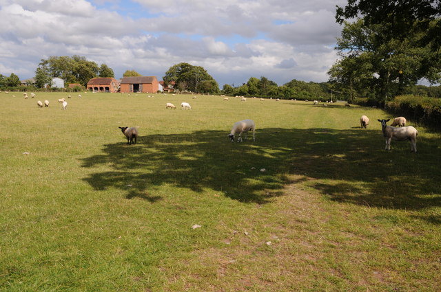
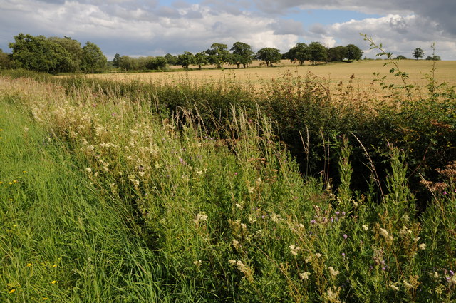
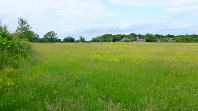
King's Wood is known for its diverse range of flora and fauna, making it a popular destination for nature enthusiasts and wildlife lovers. The forest is predominantly made up of broadleaf trees, including oak, beech, and birch, which provide a rich habitat for a variety of species. Bluebells, wild garlic, and wood anemones carpet the forest floor during the spring months, creating a stunning display of colors.

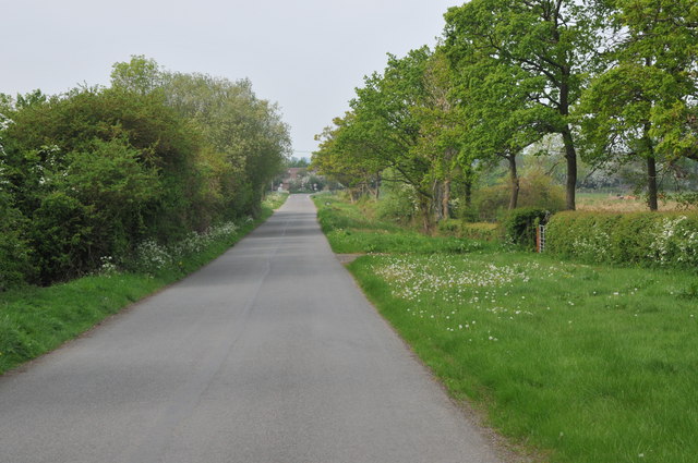
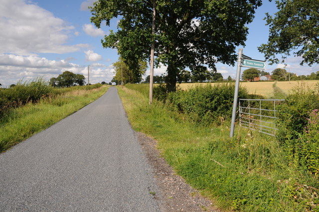
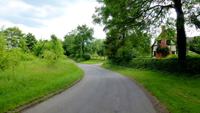
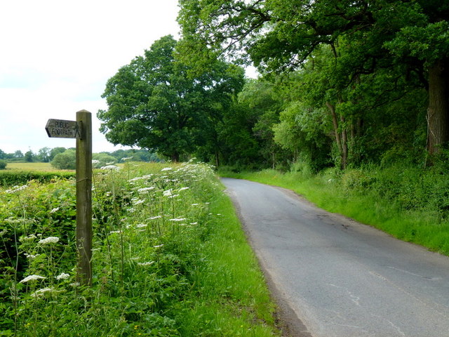
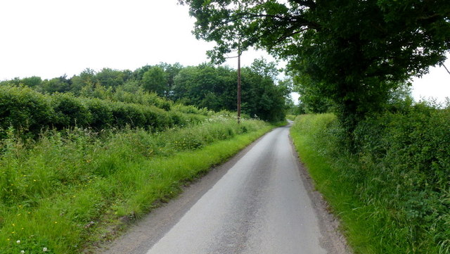
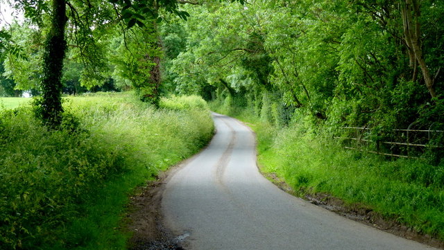
The woodland is crisscrossed with numerous walking paths and trails, allowing visitors to explore its beauty at their own pace. These trails cater to all levels of fitness and provide opportunities for leisurely strolls or more challenging hikes. The wood is also home to a number of ancient trees, some of which are estimated to be over 500 years old.

In addition to its natural beauty, King's Wood holds historical significance. It was once part of the Royal Forest of Feckenham, a hunting ground for the kings of England. The forest has seen its fair share of history, with remnants of ancient earthworks and medieval boundaries still visible today.

King's Wood remains a cherished natural resource within Worcestershire, offering a peaceful retreat for visitors seeking solace in nature's embrace. Its combination of scenic beauty, wildlife diversity, and historical legacy make it a truly remarkable woodland destination.

If you have any feedback on the listing, please let us know in the comments section below.
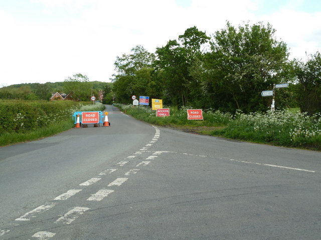
King's Wood Images

Images are sourced within 2km of 52.221186/-2.0540583 or Grid Reference SO9658. Thanks to Geograph Open Source API. All images are credited.

Country road near Stock Green This road approaches a t-junction in a small hamlet which is not named on the OS map.
Country road near Stock Green
This road approaches a t-junction in a small hamlet which is not named on the OS map.
Farmland beside Grafton Wood On the far side of this field the Wychavon Way passes beside the Grafton Wood.
Farmland beside Grafton Wood
On the far side of this field the Wychavon Way passes beside the Grafton Wood.
Farmland near Stock Green At present this field is dry however the reeds suggest this field normally lies wet.
Farmland near Stock Green
At present this field is dry however the reeds suggest this field normally lies wet.
Bridleway to Upper Kite's Wood This bridleway passes Upper Kite's Wood and joins the Wychavon Way.
Bridleway to Upper Kite's Wood
This bridleway passes Upper Kite's Wood and joins the Wychavon Way.
The edge of Stock Green A road junction on the edge of Hollow Court but the signs proclaim this to be Stock Green. The road to the right goes to Grafton Flyford and Himbleton. The road ahead was closed for sewer works.
The edge of Stock Green
A road junction on the edge of Hollow Court but the signs proclaim this to be Stock Green. The road to the right goes to Grafton Flyford and Himbleton. The road ahead was closed for sewer works.
Bulrushes beside the Wychavon Way Bulrushes growing in a drainage channel beside a footpath which is marked on the OS map as the Wychavon Way though I believe it may have since been rerouted.
Bulrushes beside the Wychavon Way
Bulrushes growing in a drainage channel beside a footpath which is marked on the OS map as the Wychavon Way though I believe it may have since been rerouted.
Sheep and Hill Top Farm Sheep in a field with Hill Top Farm in the background.
Sheep and Hill Top Farm
Sheep in a field with Hill Top Farm in the background.
Roadside verge near Shell Summer growth on the road verge between Shell and Earl's Common.
Roadside verge near Shell
Summer growth on the road verge between Shell and Earl's Common.
Footpath to Hill Top Farm Two footpaths cross farmland to the right one of which leads to Hill Top Farm.
Footpath to Hill Top Farm
Two footpaths cross farmland to the right one of which leads to Hill Top Farm.
Lane to Grafton Flyford The cottage appears to keep an eye on the passing traffic, such as it is.
Lane to Grafton Flyford
The cottage appears to keep an eye on the passing traffic, such as it is.
Lane alongside Rabbit Wood Looking north towards Himbleton.
Lane alongside Rabbit Wood
Looking north towards Himbleton.
Footpath across pasture to Saldons Farm This scene is not surprisingly very similar to <a href="https://www.geograph.org.uk/photo/846703">SO9558 : Saldons Farm, near Himbleton</a> taken 5 years previously.
Footpath across pasture to Saldons Farm
This scene is not surprisingly very similar to SO9558 : Saldons Farm, near Himbleton taken 5 years previously.
Mill Lane, Huddington This minor road had a surprisingly small amount of traffic using it on this June afternoon.
Mill Lane, Huddington
This minor road had a surprisingly small amount of traffic using it on this June afternoon.
Leafy lane Minor road from Grafton to Huddington.
Leafy lane
Minor road from Grafton to Huddington.
Church - Himbleton Dedicated to St Mary Magdalene with a weather-boarded tower dating to the 15th century (allegedly) One of many pretty churches in Worcestershire.
Church - Himbleton
Dedicated to St Mary Magdalene with a weather-boarded tower dating to the 15th century (allegedly) One of many pretty churches in Worcestershire.
Grafton Wood . Grafton wood as seen from Rectory Farm.
Grafton Wood .
Grafton wood as seen from Rectory Farm.
View across farmland to Grafton church Photographed from bend in road at SO957564.
View across farmland to Grafton church
Photographed from bend in road at SO957564.
Common Barn.
Common Barn.
Show me another place!

King's Wood is located at Grid Ref: SO9658 (Lat: 52.221186, Lng: -2.0540583)

Administrative County: Worcestershire

District: Wychavon

Police Authority: West Mercia

What 3 Words

///punctuate.establish.shin. Near Kington, Worcestershire

Nearby Locations

Bossil Wood King's Wood

Related Wikis

Grafton Flyford

Grafton Flyford is a village about 6 miles (9.7 km) east of Worcester, in Worcestershire, England. It neighbours Stock Green, with the large farm house...

Earls Common

Earls Common is a village in Worcestershire, England. Villages nearby include Himbleton and Stock Green.

Himbleton

Himbleton is a village in Worcestershire, England. It lies about 5 miles (8.0 km) south-east of Droitwich and 7.5 miles (12.1 km) north-east of Worcester...

Huddington

Huddington is a village in Worcestershire, England. == Location == Huddington is located 5 miles (8.0 km) east of Worcester and 5 miles (8.0 km) south...

Grafton Wood

Grafton Wood is a nature reserve near the village of Grafton Flyford, about 6 miles (9.7 km) east of Worcester, in Worcestershire, England. == Description... ==
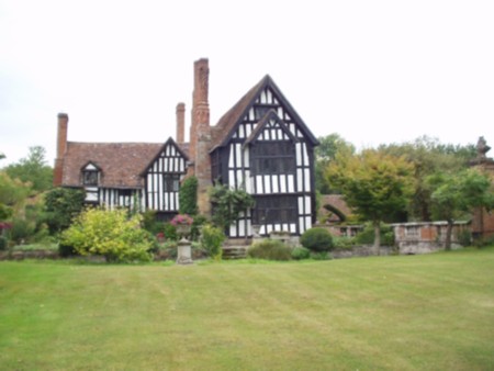
Huddington Court

Huddington Court is a 15th-century moated manor house in the village of Huddington in Worcestershire, England, some six miles east of Worcester. It was...

Dormston

Dormston is a village and civil parish in Worcestershire about 3 miles (4.8 km) south of Redditch. == Name == Dormston's toponym has evolved from Deormodesealdtune...

North Piddle

North Piddle is a small civil parish in the Wychavon district of Worcestershire, England. It is located within a loop of Piddle Brook. North Piddle is...

Nearby Amenities

Located within 500m of 52.221186,-2.0540583
Power: pole
Lat/Long: 52.216911/-2.0563048
Power: pole
Lat/Long: 52.2204828/-2.0469972
Barrier: kissing_gate
Foot: yes
Lat/Long: 52.2212628/-2.0509596
Power: pole
Lat/Long: 52.2185687/-2.0537594
Power: pole
Lat/Long: 52.2179268/-2.0553021
Power: pole
Lat/Long: 52.2205695/-2.0488898
Power: pole
Lat/Long: 52.2199684/-2.0503512
Power: pole
Lat/Long: 52.2193495/-2.0518597
The data included in this document is from www.openstreetmap.org. The data is made available under ODbL.

Have you been to King's Wood?

Leave your review of King's Wood below (or comments, questions and feedback).