Grenville's Wood

Wood, Forest in Staffordshire South Staffordshire

England

Grenville's Wood

Timber stacks The results of recent tree cutting.
Timber stacks Credit: Ian Calderwood

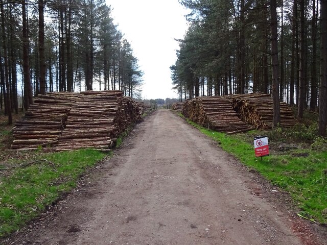
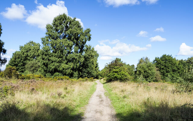
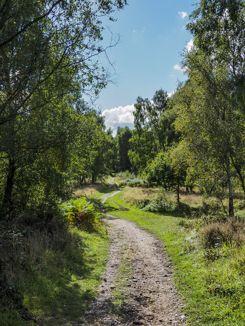
Grenville's Wood is a picturesque forest located in Staffordshire, England. Spanning over a vast area, this woodland is renowned for its natural beauty and rich biodiversity. The wood is situated in a rural setting, surrounded by rolling hills and meandering streams, providing a serene and tranquil environment for visitors to enjoy.

The forest is dominated by a variety of tree species, including oak, beech, ash, and birch. The towering trees form a dense canopy, creating a shaded and cool atmosphere within the wood. Walking through the forest, visitors are greeted by a carpet of moss, ferns, and wildflowers, adding to the enchanting ambiance.

Grenville's Wood is home to an array of wildlife, making it a popular destination for nature enthusiasts and birdwatchers. The woodland provides a habitat for numerous bird species, such as woodpeckers, owls, and various songbirds. It is also home to mammals like deer, foxes, and squirrels, which can often be spotted roaming through the undergrowth.

The wood offers a network of well-maintained trails and footpaths, allowing visitors to explore its beauty at their own pace. There are also picnic areas and benches scattered throughout the forest, providing opportunities for relaxation and enjoying the surroundings.

Grenville's Wood is a cherished natural gem in Staffordshire, attracting both locals and tourists alike. Its stunning landscapes, diverse flora and fauna, and peaceful atmosphere make it a perfect destination for those seeking a tranquil escape in the heart of nature.

If you have any feedback on the listing, please let us know in the comments section below.

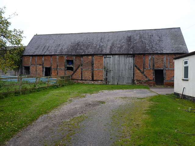
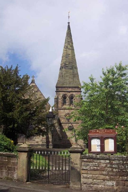
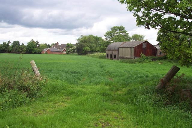
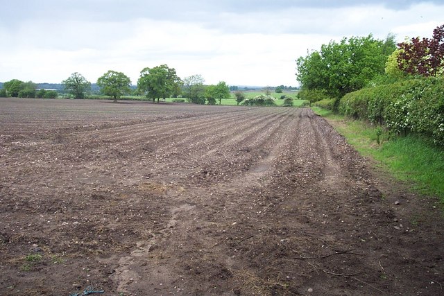
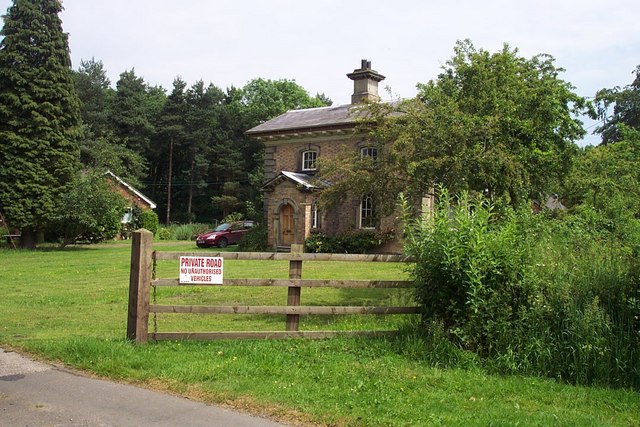
Grenville's Wood Images

Images are sourced within 2km of 52.746594/-2.0553019 or Grid Reference SJ9616. Thanks to Geograph Open Source API. All images are credited.

Timber stacks The results of recent tree cutting.
Timber stacks
The results of recent tree cutting.
Timber-framed barn at Lower Farm Described in its 1986 Grade II listing <span class="nowrap"><a title="https://britishlistedbuildings.co.uk/101039249-barn-incorporating-cowhouse-approximately-5-yards-north-of-lower-farmhouse-acton-trussell-and-bednall#.Ymo90drMI2w" rel="nofollow ugc noopener" href="https://britishlistedbuildings.co.uk/101039249-barn-incorporating-cowhouse-approximately-5-yards-north-of-lower-farmhouse-acton-trussell-and-bednall#.Ymo90drMI2w">Link</a><img style="margin-left:2px;" alt="External link" title="External link - shift click to open in new window" src="https://s1.geograph.org.uk/img/external.png" width="10" height="10"/></span> & <span class="nowrap"><a title="https://historicengland.org.uk/listing/the-list/list-entry/1039249" rel="nofollow ugc noopener" href="https://historicengland.org.uk/listing/the-list/list-entry/1039249">Link</a><img style="margin-left:2px;" alt="External link" title="External link - shift click to open in new window" src="https://s1.geograph.org.uk/img/external.png" width="10" height="10"/></span> as "Early 18th century", this building is still in agricultural use. It has a cowhouse at the left end, and a threshing room to the right of the full-height doorway.
Timber-framed barn at Lower Farm
Described in its 1986 Grade II listing LinkExternal link & LinkExternal link as "Early 18th century", this building is still in agricultural use. It has a cowhouse at the left end, and a threshing room to the right of the full-height doorway.
Deciduous trees near to Chase Road Corner The path is a bridleway, also part of the Heart of England Way. Here, it's heading north over the Brocton Field area of Cannock Chase towards Chase Road Corner.
Deciduous trees near to Chase Road Corner
The path is a bridleway, also part of the Heart of England Way. Here, it's heading north over the Brocton Field area of Cannock Chase towards Chase Road Corner.
The Heart of England Way heading south towards Springslade Lodge The long distance path winding south along a bridleway route at Anson's Bank on Cannock Chase.
The Heart of England Way heading south towards Springslade Lodge
The long distance path winding south along a bridleway route at Anson's Bank on Cannock Chase.
Beep! Our 16-month-old daughter, Catherine, "competing" in her first orienteering event: the string course at Anson's Bank, organised (very well) by Walton Chasers. <span class="nowrap"><a title="http://www.walton-chasers.co.uk/" rel="nofollow ugc noopener" href="http://www.walton-chasers.co.uk/">Link</a><img style="margin-left:2px;" alt="External link" title="External link - shift click to open in new window" src="https://s1.geograph.org.uk/img/external.png" width="10" height="10"/></span>
Beep!
Our 16-month-old daughter, Catherine, "competing" in her first orienteering event: the string course at Anson's Bank, organised (very well) by Walton Chasers. LinkExternal link
Katyn Memorial A memorial to the memory of the 14,000 members of the Polish Armed Forces and Professional classes who were executed in Katyn Forest in 1940.
Katyn Memorial
A memorial to the memory of the 14,000 members of the Polish Armed Forces and Professional classes who were executed in Katyn Forest in 1940.
Springslade Lodge Food is served here for hungry walkers on Cannock Chase. The smell of cooking bacon wafts over the road to tempt passers by.
Springslade Lodge
Food is served here for hungry walkers on Cannock Chase. The smell of cooking bacon wafts over the road to tempt passers by.
Map of Cannock Chase This rock with its map of Cannock Chase provides an interesting feature for walkers to visit. It also acts as a navigation point in an area where one patch of moorland can look very much like another.
Map of Cannock Chase
This rock with its map of Cannock Chase provides an interesting feature for walkers to visit. It also acts as a navigation point in an area where one patch of moorland can look very much like another.
Remains of buildings near Chase Road Corner The origins of these buildings are unknown. The landscape of Cannock Chase has changed many times. In WWI it was a hive of activity. There were training camps and hospitals, all supplied by a railway. These may be a remnant of that period.
Remains of buildings near Chase Road Corner
The origins of these buildings are unknown. The landscape of Cannock Chase has changed many times. In WWI it was a hive of activity. There were training camps and hospitals, all supplied by a railway. These may be a remnant of that period.
All Saints, Bednall <span class="nowrap"><a title="http://churches.lichfield.anglican.org/penkridge/actont/bednall.htm" rel="nofollow ugc noopener" href="http://churches.lichfield.anglican.org/penkridge/actont/bednall.htm">Link</a><img style="margin-left:2px;" alt="External link" title="External link - shift click to open in new window" src="https://s1.geograph.org.uk/img/external.png" width="10" height="10"/></span>
All Saints, Bednall
Near Bednall Looking north
Near Bednall
Looking north
Open Land Looking North West
Open Land
Looking North West
Keepers Lodge
Keepers Lodge
Gipsy Green
Gipsy Green
Footpath Near Teddesley
Coppice Farm & Buxtons A34 Buxtons Aborists Supplies at Coppice Farm
Bernard Buxton started Buxton’s over 40 years ago while still working as a farmer. He started out hiring and selling Dolmar chainsaws with Oregon chain, he soon became an agent for Stihl dealing with their first 3 models 08S, 07S and Lightning. He later became an agent for Husqvarna and Jonsered and the farmhouse became a shop and workshop with repairs carried out by Bernard and his father in law Frank Owen. 20 years later Bernard’s daughter, Lucy joined the firm.
Coppice Farm & Buxtons A34
Buxtons Aborists Supplies at Coppice Farm Bernard Buxton started Buxton’s over 40 years ago while still working as a farmer. He started out hiring and selling Dolmar chainsaws with Oregon chain, he soon became an agent for Stihl dealing with their first 3 models 08S, 07S and Lightning. He later became an agent for Husqvarna and Jonsered and the farmhouse became a shop and workshop with repairs carried out by Bernard and his father in law Frank Owen. 20 years later Bernard’s daughter, Lucy joined the firm.
Grenville's Wood View across the A34 down the valley to Springslade Pool.
Grenville's Wood
View across the A34 down the valley to Springslade Pool.
Staffordshire Way, Teddesley
Show me another place!

Grenville's Wood is located at Grid Ref: SJ9616 (Lat: 52.746594, Lng: -2.0553019)

Administrative County: Staffordshire

District: South Staffordshire

Police Authority: Staffordshire

What 3 Words

///pursue.removed.remain. Near Penkridge, Staffordshire

Related Wikis

Bednall

Bednall is a village in Staffordshire, England. == Location == Bednall lies somewhat remote from main roads, in dairy-farming countryside some 2.5 miles...

Teddesley Hall

Teddesley Hall was a large Georgian English country house located close to Penkridge in Staffordshire, now demolished. It was the main seat firstly of...

Acton Trussell and Bednall

Acton Trussell and Bednall is a civil parish in the South Staffordshire district of Staffordshire, England. As the name indicates, it contains the two...

Cannock Chase German Military Cemetery

The Cannock Chase German Military Cemetery (grid reference SJ984157) is on Cannock Chase, Staffordshire, England. The cemetery contains nearly 5,000 burials...

Brocton, Staffordshire

Brocton is a village and civil parish in the English county of Staffordshire. It is within the borough of Stafford. The village describes itself as the...

Pye Green BT Tower

Pye Green BT Tower is a 96.9-metre (318 ft) tall telecommunication tower built of reinforced concrete at Pye Green, Staffordshire, England (grid reference...

Acton Trussell

Acton Trussell is a village in the English county of Staffordshire. It is known as Actone in the Domesday Book. Located around 4 miles southeast of Stafford...

Huntington, Staffordshire

Huntington is a civil parish and former mining village in Staffordshire, on the outskirts of Cannock Chase. It lies on the A34 road just north of Cannock...

Nearby Amenities

Located within 500m of 52.746594,-2.0553019
Bus Stop
Teddesley Park
Bus: yes
Naptan AtcoCode: 3800C692701
Naptan Bearing: N
Naptan CommonName: Teddesley Park
Naptan Indicator: Adj
Naptan Landmark: Teddesley Park
Naptan Street: Stafford Road
Naptan Verified: no
Public Transport: platform
Source: naptan_import
Lat/Long: 52.744151/-2.0520691
Bus Stop
Teddesley Park
Bus: yes
Naptan AtcoCode: 3800C692702
Naptan Bearing: S
Naptan BusStopType: CUS
Naptan CommonName: Teddesley Park
Naptan Indicator: Opp
Naptan Landmark: Teddesley Park
Naptan Street: Stafford Road
Naptan Verified: no
Public Transport: platform
Source: naptan_import
Lat/Long: 52.7441241/-2.0518468
Bus Stop
Chaseside Farm
Bus: yes
Naptan AtcoCode: 3800C692801
Naptan Bearing: N
Naptan BusStopType: CUS
Naptan CommonName: Chaseside Farm
Naptan Indicator: Opp
Naptan Landmark: Chaseside Farm
Naptan Street: Stafford Road
Naptan Verified: no
Public Transport: platform
Source: naptan_import
Lat/Long: 52.7463444/-2.0522495
Bus Stop
Chaseside Farm
Bus: yes
Naptan AtcoCode: 3800C692802
Naptan Bearing: S
Naptan BusStopType: CUS
Naptan CommonName: Chaseside Farm
Naptan Indicator: Adj
Naptan Landmark: Chaseside Farm
Naptan Street: Stafford Road
Naptan Verified: no
Public Transport: platform
Source: naptan_import
Lat/Long: 52.7462906/-2.0519975
Man Made: tower
Source: bing
Tower Type: communication
Lat/Long: 52.7432761/-2.0570022
The data included in this document is from www.openstreetmap.org. The data is made available under ODbL.

Have you been to Grenville's Wood?

Leave your review of Grenville's Wood below (or comments, questions and feedback).