Green Close Copse

Wood, Forest in Wiltshire

England

Green Close Copse

Downside Garage
Downside Garage Credit: Roger Cornfoot

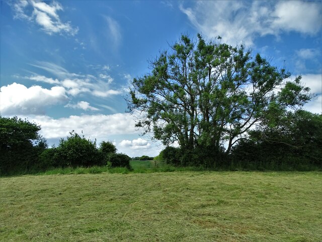
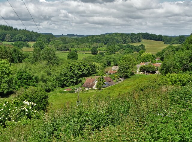
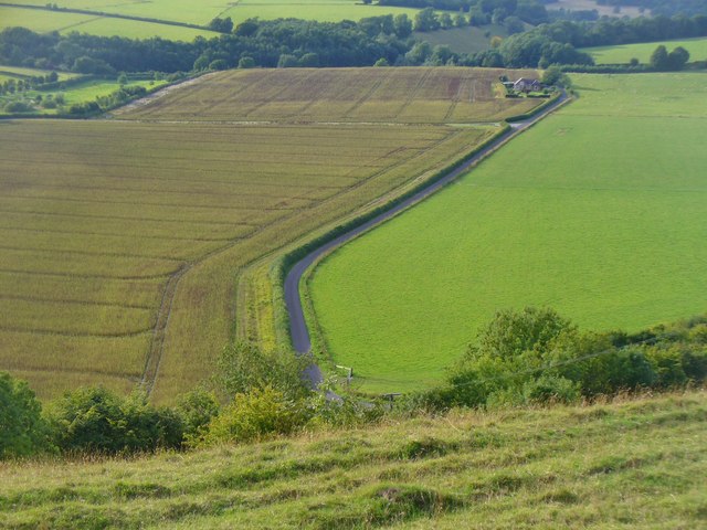
Green Close Copse is a charming woodland located in Wiltshire, England. Spanning over an area of approximately 20 acres, it is a picturesque destination that attracts nature enthusiasts and outdoor lovers alike.

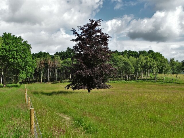
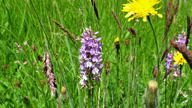
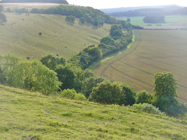
This woodland is characterized by its dense canopy of trees, mainly consisting of oak, beech, and ash. These towering trees provide a cool and serene environment, making it an ideal spot for a leisurely stroll or a peaceful picnic. The forest floor is covered with a lush carpet of ferns, moss, and wildflowers, creating a beautiful tapestry of colors and textures.

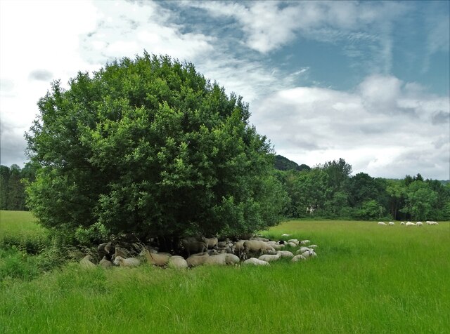
Green Close Copse is home to a variety of wildlife, making it a haven for nature lovers. Birdwatchers can spot various species such as woodpeckers, owls, and falcons, while small mammals like squirrels, rabbits, and hedgehogs can be seen scurrying through the undergrowth. The copse also boasts a diverse range of insects, including butterflies and beetles, adding to its ecological significance.

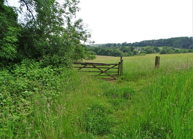
The woodland is crisscrossed by a network of well-maintained trails, providing visitors with the opportunity to explore its beauty at their own pace. These paths wind through the trees, offering glimpses of the surrounding countryside and allowing visitors to immerse themselves in the tranquility of nature.

Green Close Copse is easily accessible and is a popular destination for walkers, joggers, and families seeking a peaceful retreat. Its natural beauty, abundant wildlife, and well-maintained trails make it an enchanting woodland that showcases the best of Wiltshire's natural heritage.

If you have any feedback on the listing, please let us know in the comments section below.

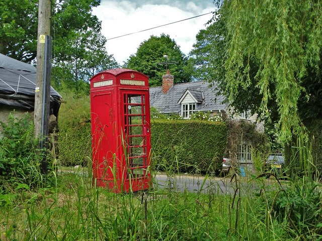
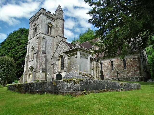
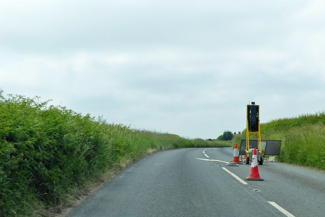
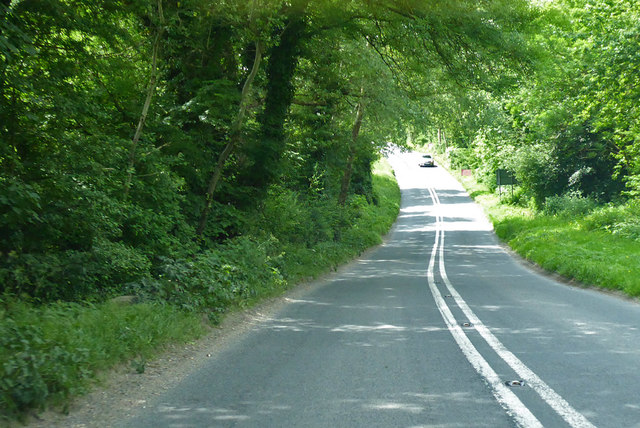
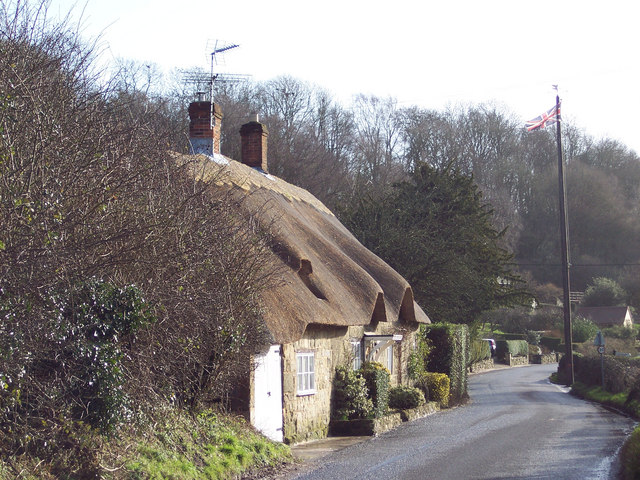
Green Close Copse Images

Images are sourced within 2km of 51.041425/-2.0533517 or Grid Reference ST9626. Thanks to Geograph Open Source API. All images are credited.

Downside Garage
Downside Garage
Young copper beech tree, Hardene Wood
On the edge of Swallowcliffe Wood Near Withyslade Farm
On the edge of Swallowcliffe Wood
Near Withyslade Farm
Sheep sheltering in the parish of Swallowcliffe Perhaps they were sheltering from rain that never arrived though the sky looked ominous for a while.
Sheep sheltering in the parish of Swallowcliffe
Perhaps they were sheltering from rain that never arrived though the sky looked ominous for a while.
Disused telephone box in Swallowcliffe
St Peter's Church, Swallowcliffe The current church was built in the mid-nineteenth century, replacing a much older structure.
St Peter's Church, Swallowcliffe
The current church was built in the mid-nineteenth century, replacing a much older structure.
Between Swallowcliffe and Ansty Following a designated but little used footpath over farmland
Between Swallowcliffe and Ansty
Following a designated but little used footpath over farmland
A view of Ansty
A view of Ansty
Signpost in Ansty As you can see, it points the way to Ansty Coombe
Signpost in Ansty
As you can see, it points the way to Ansty Coombe
Common spotted orchid (dactylorhiza fuchsii) Growing in a Wiltshire meadow west of Ansty
Common spotted orchid (dactylorhiza fuchsii)
Growing in a Wiltshire meadow west of Ansty
The tower of St Peter's Church, Swallowcliffe
"The Royal Oak" at Swallowcliffe
Wiltshire Downland Anstey Coombe from Middle Down.
Wiltshire Downland
Anstey Coombe from Middle Down.
Ansty Down Chalk grassland hills with cultivated fields at their feet.
Ansty Down
Chalk grassland hills with cultivated fields at their feet.
A30 heading west The Lancers House is on the bend, offering B&B.
A30 heading west
The Lancers House is on the bend, offering B&B.
A30 road works, Swallowcliffe A lengthy trenching operation was in hand, although it was all deserted on a Sunday.
A30 road works, Swallowcliffe
A lengthy trenching operation was in hand, although it was all deserted on a Sunday.
End of A30 road works, Swallowcliffe The back of lights at the end of a lengthy trenching operation - see <a href="https://www.geograph.org.uk/photo/5805469">ST9726 : A30 road works, Swallowcliffe</a> for the other end. Luckily the road is not very busy.
End of A30 road works, Swallowcliffe
The back of lights at the end of a lengthy trenching operation - see ST9726 : A30 road works, Swallowcliffe for the other end. Luckily the road is not very busy.
A30 heading west Near Ansty.
A30 heading west
Near Ansty.
Show me another place!

Green Close Copse is located at Grid Ref: ST9626 (Lat: 51.041425, Lng: -2.0533517)

Unitary Authority: Wiltshire

Police Authority: Wiltshire

What 3 Words

///opinion.signature.horseshoe. Near Ansty, Wiltshire

Nearby Locations

Green Close Copse

Related Wikis

Swallowcliffe

Swallowcliffe is a small village and civil parish in Wiltshire, England, about 2 miles (3.2 km) southeast of Tisbury and 11 miles (18 km) west of Salisbury...

Ansty, Wiltshire

Ansty is a small village and civil parish in southwest Wiltshire, England, about 6 miles (10 km) east of Shaftesbury. The village is just north of the...

Castle Ditches

Castle Ditches is the site of an Iron Age trivallate hillfort in the south-east of Tisbury parish in Wiltshire, England. It is probable that its ancient...
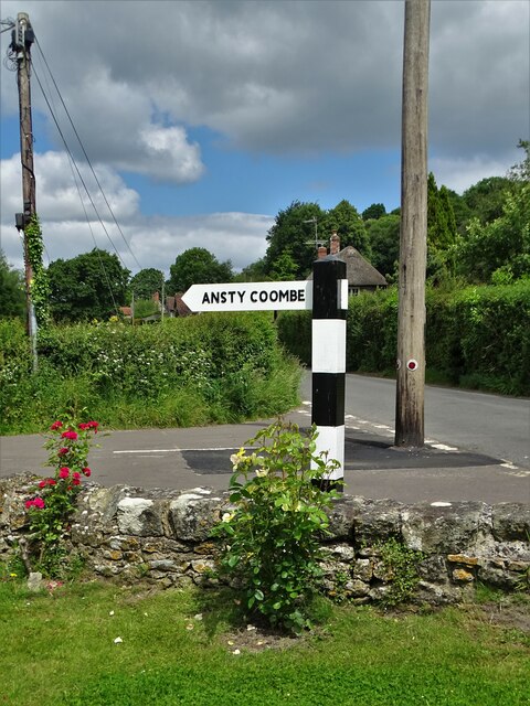
Ansty Coombe

Ansty Coombe is a hamlet in Ansty parish, in southwest Wiltshire, England. It lies about six miles (10 km) east of Shaftesbury, Dorset. == Sources... ==

Related Videos

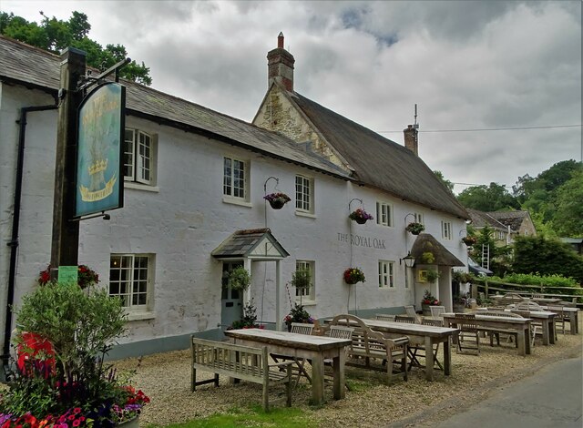
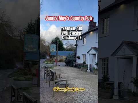
Haven (Salisbury), Stonehenge, The Royal Oak (Swallowcliffe) - 2021 UK Road Trip

Our Chief Mobile Opinionist, Matteo, and his partner Candice continue their 2021 UK Toad Trip and stay at The Royal Oak in ...

WE PROBABLY SHOULDN’T SHARE THIS | Cranborne Chase AONB

Welcome back friends! This week we're down towards the southern coast of England exploring another beautiful part of the ...

Nearby Amenities

Located within 500m of 51.041425,-2.0533517
Barrier: stile
Lat/Long: 51.044473/-2.0509971
Barrier: stile
Lat/Long: 51.0453036/-2.0522211
Swallowcliffe
Place: village
Lat/Long: 51.0434716/-2.0496802
Barrier: stile
Lat/Long: 51.0398262/-2.0570559
Barrier: stile
Lat/Long: 51.0407209/-2.0551916
Barrier: stile
Lat/Long: 51.0414342/-2.0536699
Barrier: stile
Lat/Long: 51.0416665/-2.0531877
Barrier: stile
Lat/Long: 51.0422567/-2.0533737
Barrier: stile
Lat/Long: 51.0426704/-2.0540479
Barrier: stile
Lat/Long: 51.0427697/-2.0527666
Barrier: stile
Lat/Long: 51.0415239/-2.0505696
Public Bookcase
Library
Booth: K6
Covered: booth
Disused Amenity: telephone
Man Made: telephone_box
Public Bookcase Type: phone_box
Lat/Long: 51.0435667/-2.0513339
Defibrillator
Defibrillator Location: outside Royal Oak pub in Swallowcliffe
Emergency: defibrillator
Indoor: no
Lat/Long: 51.0433233/-2.0517835
Bench
Lat/Long: 51.0431095/-2.0523015
Information: guidepost
Tourism: information
Lat/Long: 51.0431305/-2.0523648
Post Box
Post Box Type: lamp
Lat/Long: 51.0432322/-2.0520974
The data included in this document is from www.openstreetmap.org. The data is made available under ODbL.

Have you been to Green Close Copse?

Leave your review of Green Close Copse below (or comments, questions and feedback).