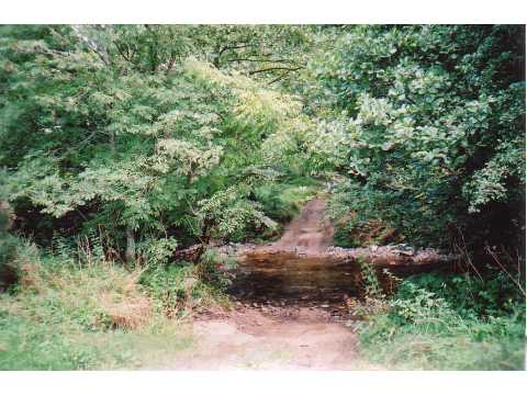
Rest Plantation
Wood, Forest in Northumberland
England
Rest Plantation
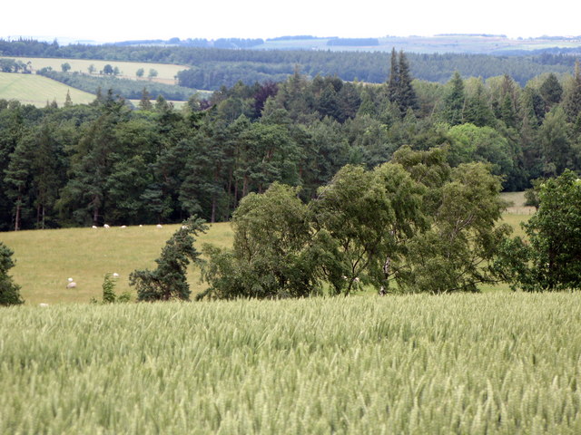
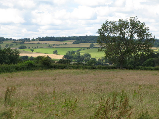
Rest Plantation is a picturesque woodland located in the county of Northumberland, England. Spanning over a vast area, it is known for its dense forests and captivating natural beauty. The plantation is situated near the village of Rest, which adds to its charm and tranquility.
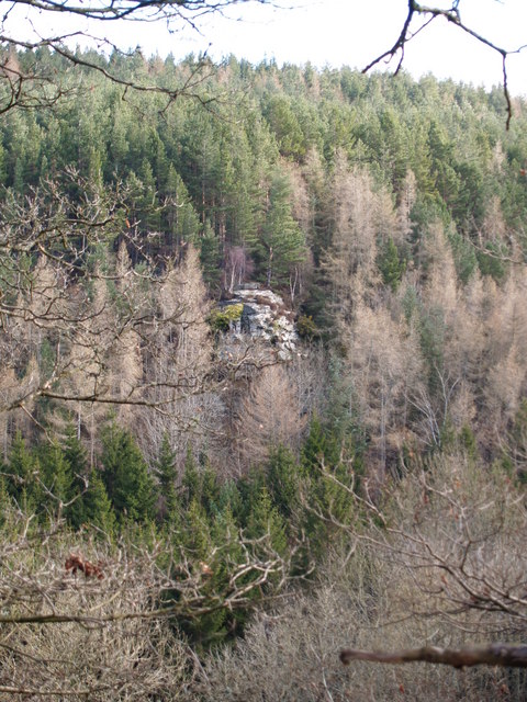
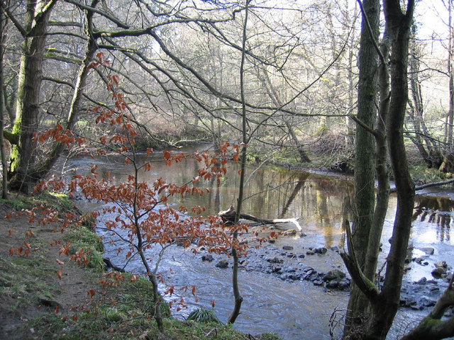
The woodland of Rest Plantation is predominantly composed of various species of trees, such as oak, beech, and birch. The towering trees create a dense canopy, blocking much of the sunlight from penetrating through the forest floor. This creates a unique and enchanting atmosphere, perfect for nature lovers and those seeking solace in the midst of nature.
The plantation is home to a diverse array of wildlife. Many species of birds, including woodpeckers and owls, can be spotted amidst the treetops. Additionally, small mammals like squirrels, foxes, and rabbits can be seen scurrying through the undergrowth. The presence of such wildlife adds to the plantation's natural allure and offers opportunities for nature enthusiasts to observe and appreciate the local fauna.
Rest Plantation is a popular destination for outdoor activities such as hiking, birdwatching, and photography. Several well-marked trails wind their way through the woodland, allowing visitors to explore its hidden gems. The peaceful atmosphere and beautiful scenery make it an ideal spot for picnics and family outings.
Overall, Rest Plantation in Northumberland is a captivating woodland that offers a serene escape from the hustle and bustle of everyday life. With its diverse flora and fauna and ample recreational opportunities, it is a must-visit destination for nature enthusiasts and those seeking a peaceful retreat.
If you have any feedback on the listing, please let us know in the comments section below.
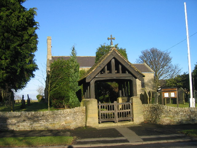
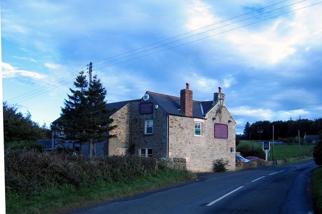
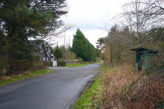
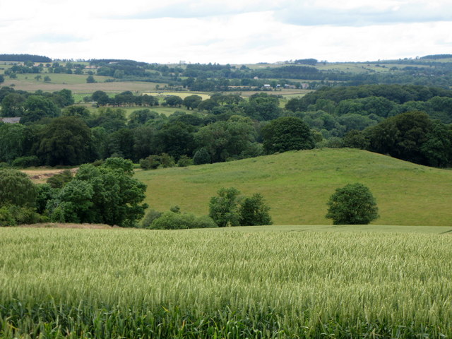
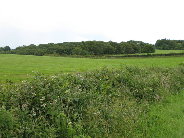
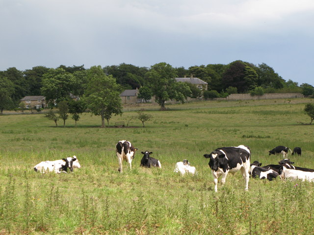
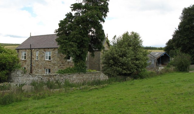
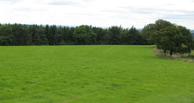
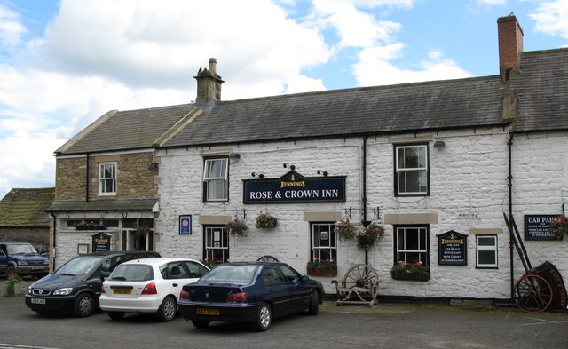
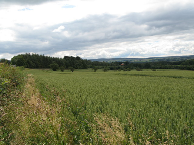
Rest Plantation Images
Images are sourced within 2km of 54.922788/-2.0616451 or Grid Reference NY9658. Thanks to Geograph Open Source API. All images are credited.
Rest Plantation is located at Grid Ref: NY9658 (Lat: 54.922788, Lng: -2.0616451)
Unitary Authority: Northumberland
Police Authority: Northumbria
What 3 Words
///handrail.chops.surfed. Near Slaley, Northumberland
Nearby Locations
Related Wikis

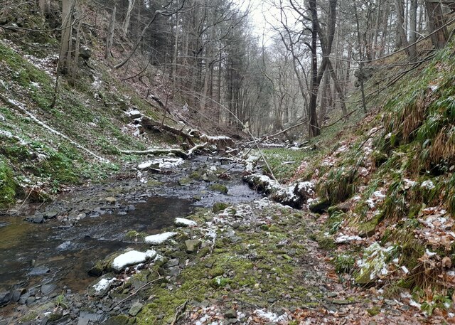
Rowley Burn (Northumberland)
Rowley Burn (also known as Rowley Brook and Ham Burn, NY 9358) is a stream in Northumberland, running around three miles south of Hexham before joining...

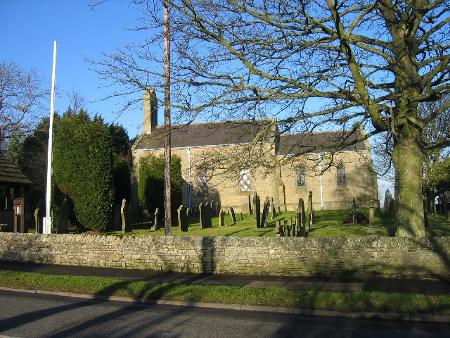
Slaley, Northumberland
Slaley is a village in Northumberland, England. It is situated to the southeast of Hexham. It is surrounded by the following villages: Ruffside, Whitley...

Hexhamshire Low Quarter
Hexhamshire Low Quarter is a former civil parish, now in the parish of Hexhamshire, in Northumberland, England. It was situated to the south of Hexham...

Juniper, Northumberland
Juniper is a hamlet in the English county of Northumberland. It is about 5 miles (8 km) due south of Hexham in the area known as Hexhamshire. There is...
Hexhamshire
Hexhamshire is a civil parish in Northern England. It was incorporated into Northumberland in 1572. == History == Hexhamshire was originally a single parish...

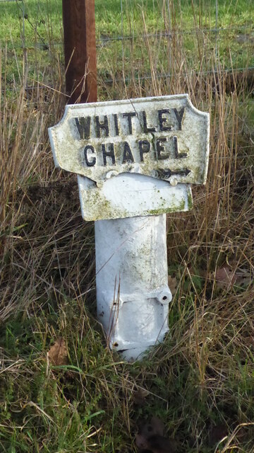
Whitley Chapel
Whitley Chapel is a village in Northumberland, England about 4 miles (6 km) south of Hexham, and in the parish of Hexhamshire. == Governance == Whitley...

Colpitts Grange
Colpitts Grange is a hamlet in Northumberland, England. It is about 7 miles (11 km) to the south-east of Hexham. == Governance == Colpitts Grange is in...

Slaley Hall
Slaley Hall is a country house golf resort in Northumberland in North East England, built by local developers Seamus O'Carroll and John Rourke which hosted...
Nearby Amenities
Located within 500m of 54.922788,-2.0616451Have you been to Rest Plantation?
Leave your review of Rest Plantation below (or comments, questions and feedback).