Clearage Wood
Wood, Forest in Staffordshire Staffordshire Moorlands
England
Clearage Wood
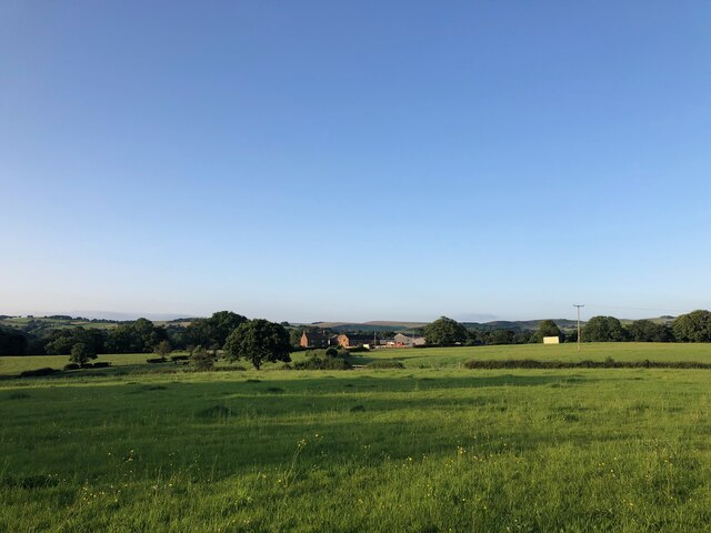
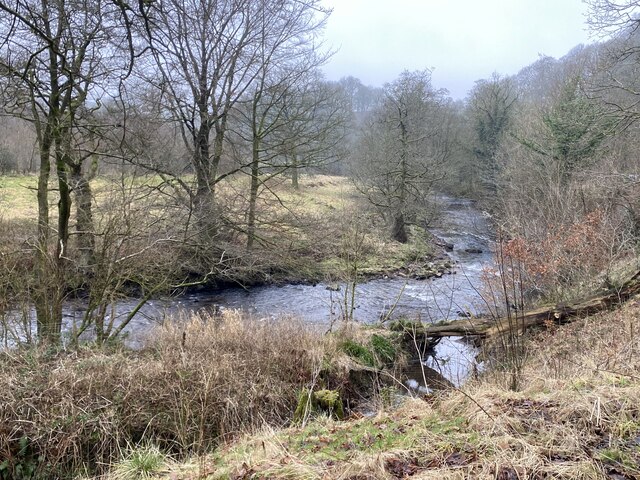
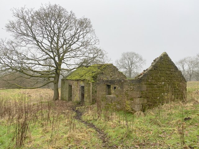
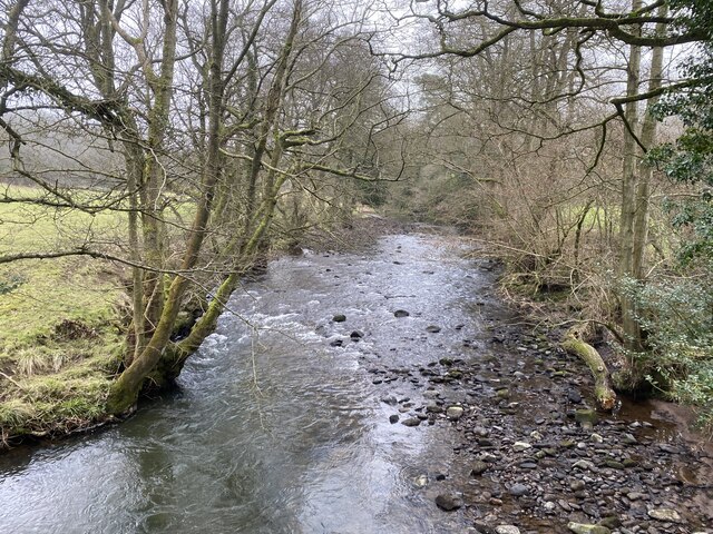
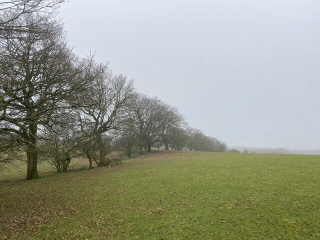
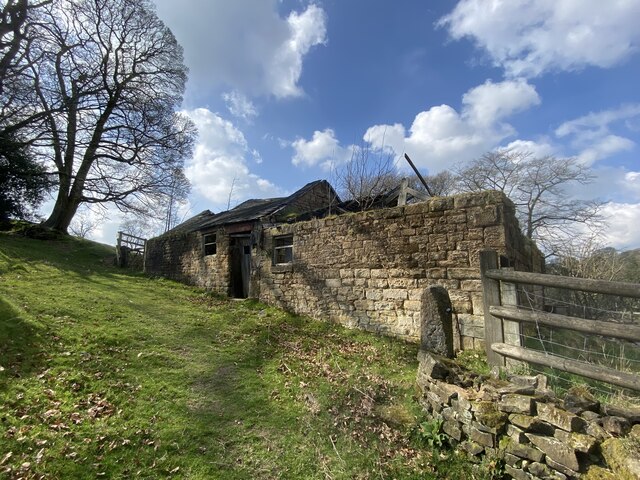
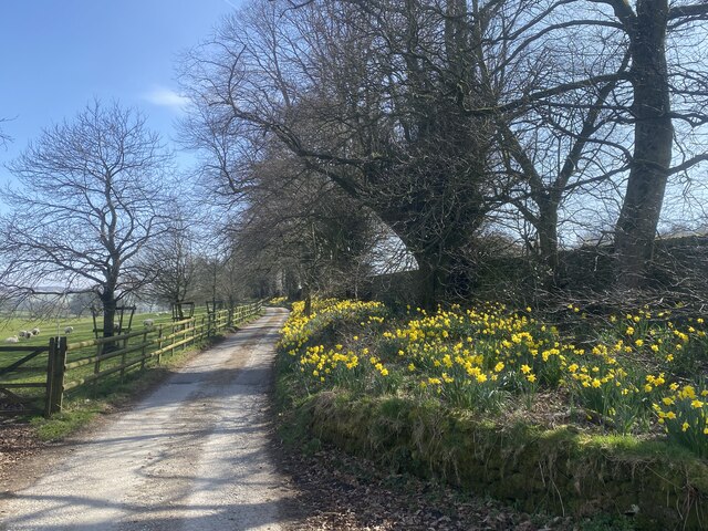
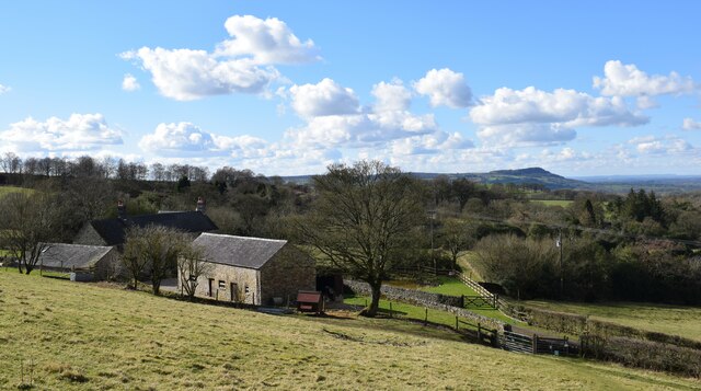
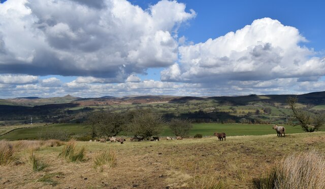
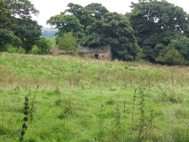
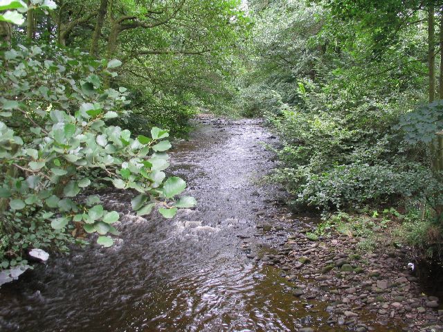
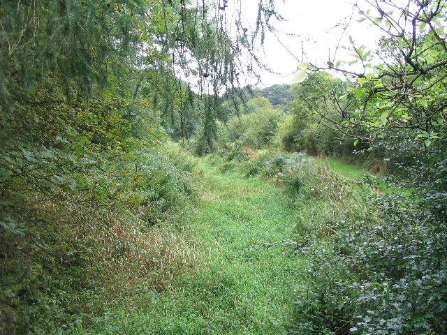
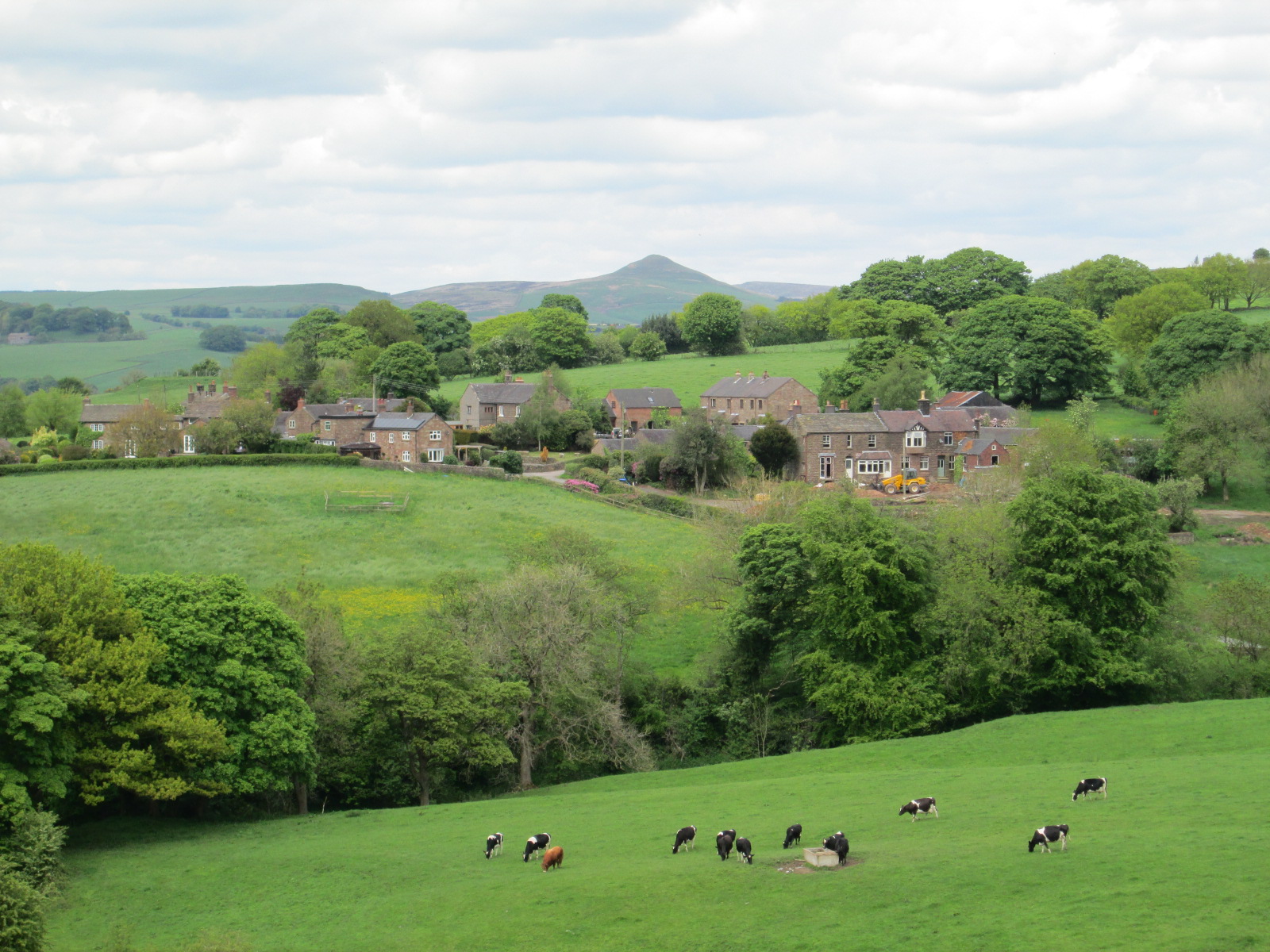
Clearage Wood is a charming woodland located in Staffordshire, England. Stretching over an area of approximately 100 acres, it is a popular destination for nature enthusiasts, hikers, and families looking to escape the hustle and bustle of urban life. The wood is situated in a picturesque rural setting, surrounded by rolling hills and meandering streams.
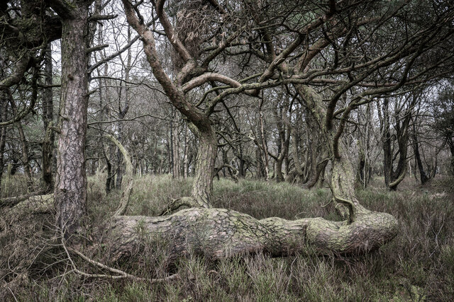
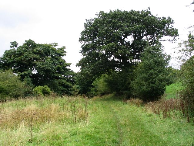
The wood is predominantly composed of native broadleaf trees, including oak, ash, and beech, which provide a rich habitat for a variety of flora and fauna. The forest floor is carpeted with a diverse range of wildflowers, such as bluebells and primroses, especially during the spring season, creating a vibrant and colorful environment.
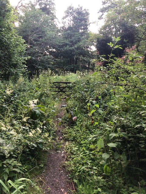
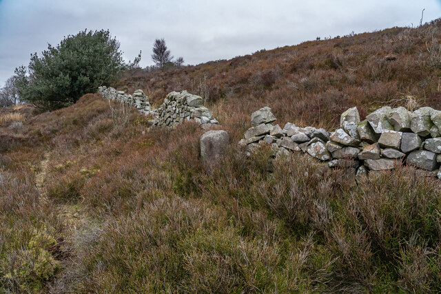
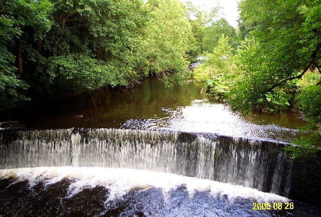
Clearage Wood is crisscrossed by a network of well-maintained footpaths and trails, allowing visitors to explore its natural beauty at their own pace. The paths wind through the woodland, leading to hidden clearings, tranquil ponds, and panoramic viewpoints. Birdwatchers will be delighted by the presence of numerous avian species, including woodpeckers, nuthatches, and various songbirds.
The wood is also home to a variety of woodland animals, such as squirrels, rabbits, and deer. Nature lovers may spot these creatures as they roam freely through the trees. The peaceful and serene atmosphere of Clearage Wood makes it an ideal location for picnics, photography, and nature study.
Overall, Clearage Wood in Staffordshire offers a tranquil and enchanting experience for those seeking a connection with nature. Its natural beauty, diverse wildlife, and well-maintained trails make it a must-visit destination for individuals of all ages.
If you have any feedback on the listing, please let us know in the comments section below.
Clearage Wood Images
Images are sourced within 2km of 53.167558/-2.05912 or Grid Reference SJ9663. Thanks to Geograph Open Source API. All images are credited.
Clearage Wood is located at Grid Ref: SJ9663 (Lat: 53.167558, Lng: -2.05912)
Administrative County: Staffordshire
District: Staffordshire Moorlands
Police Authority: Staffordshire
What 3 Words
///sour.snowy.extremely. Near Leek, Staffordshire
Nearby Locations
Related Wikis
Heaton, Staffordshire
Heaton is a small village and civil parish in Staffordshire, England. It is about 4 miles (6.4 km) north of Leek and about 7 miles (11 km) south of Macclesfield...

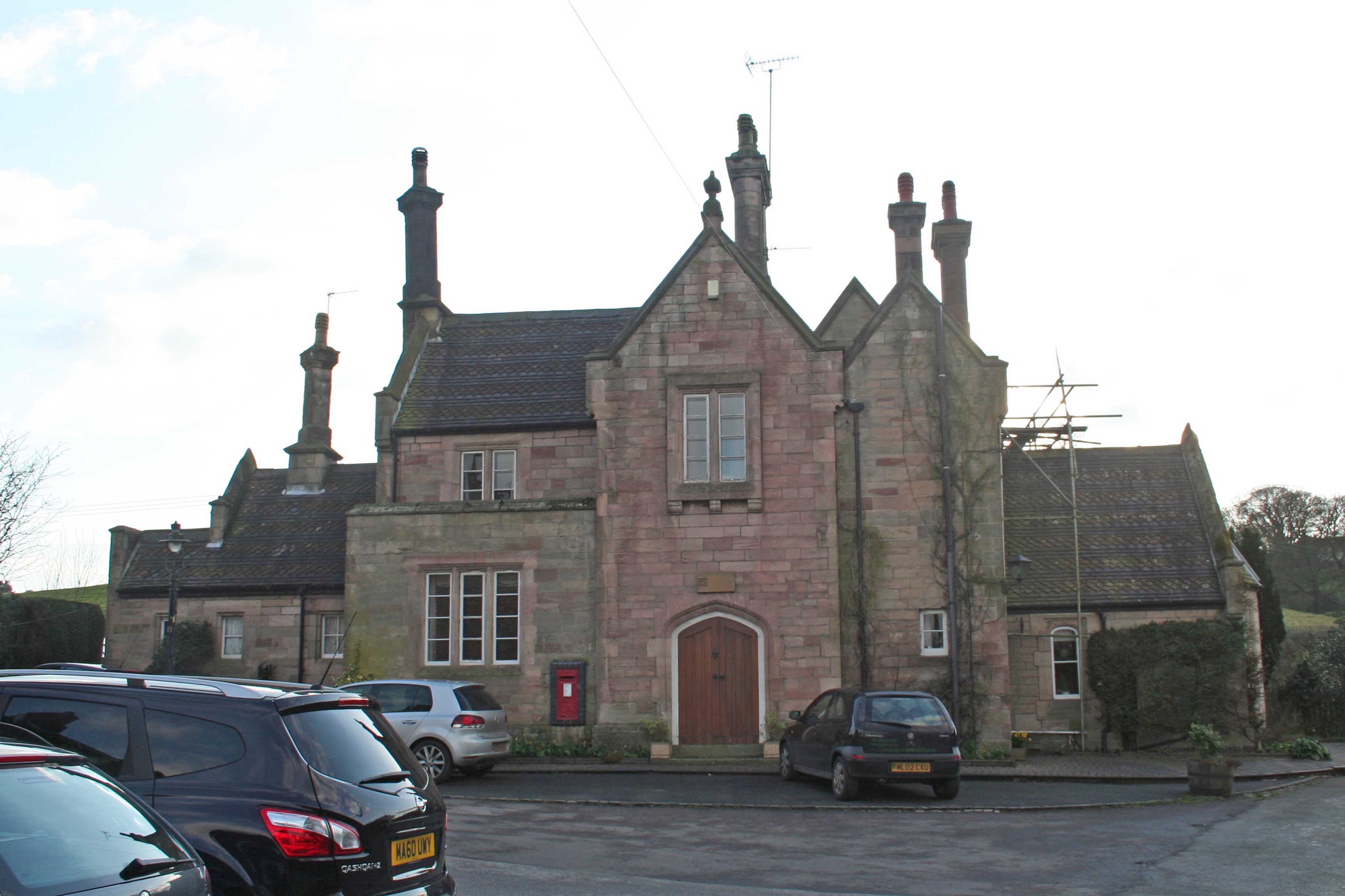
Swythamley Hall
Swythamley Hall is a late 18th-century country house near Leek, Staffordshire which has been converted into four separate residences. It is a Grade II...
Gun (Staffordshire)
Gun is a hill at the southern end of the Peak District, overlooking the town of Leek in the Staffordshire Moorlands. The hill is mainly moorland with some...

Rushton, Staffordshire
Rushton is a civil parish in Staffordshire, England. The village within the civil parish, usually known as Rushton Spencer, is about 4 miles (6.4 km) north...

Wincle
Wincle is a village and civil parish in the Cheshire East district of Cheshire, England. It holds parish meetings, rather than parish council meetings...
St Michael's Church, Wincle
St Michael's Church is in the village of Wincle, Cheshire, England. It is an active Anglican parish church in the diocese of Chester, the archdeaconry...
Rushton railway station
Rushton Spencer railway station was a railway station that served the village of Rushton Spencer, Staffordshire. The station was opened by the North Staffordshire...
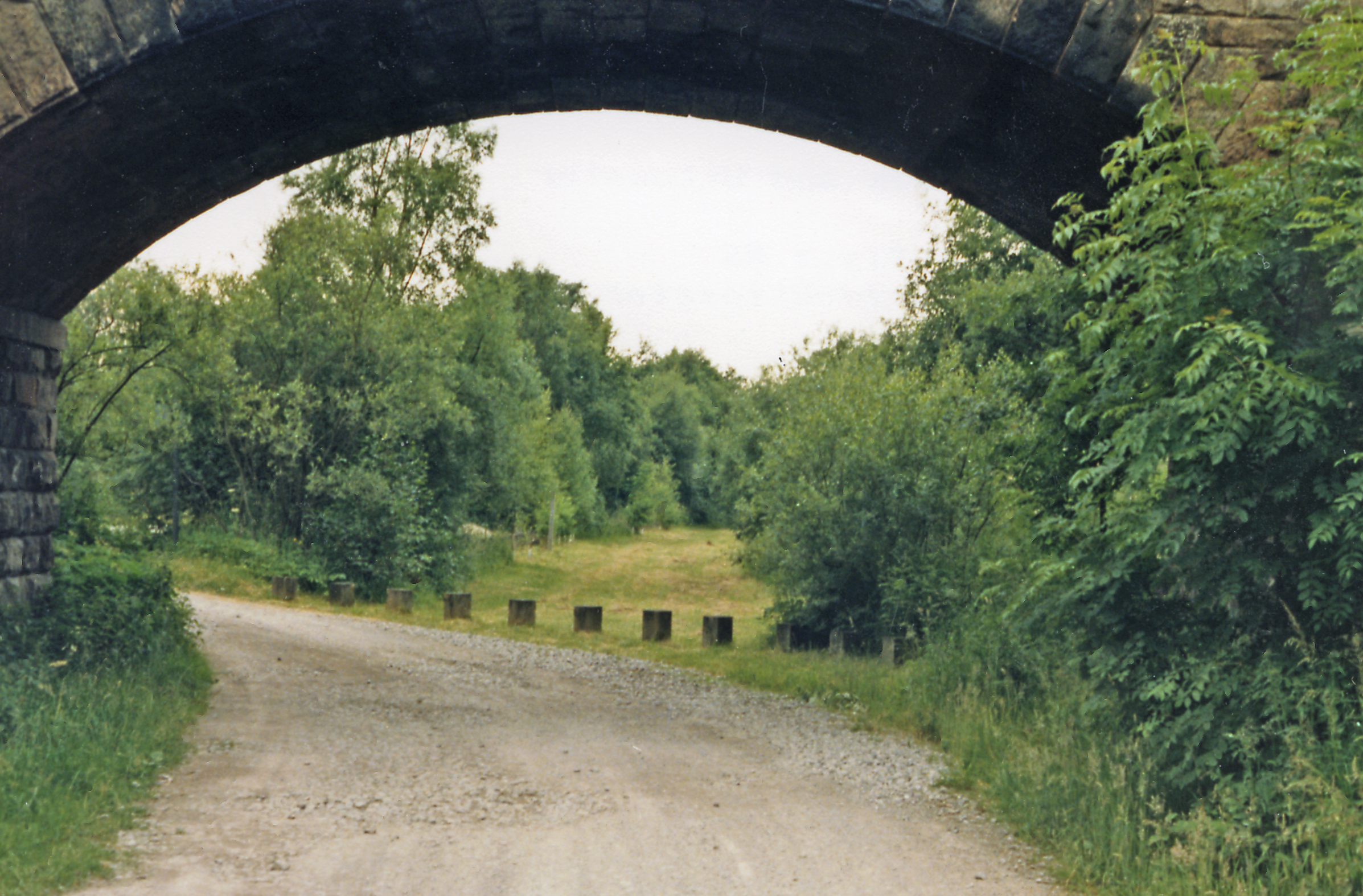
Cliffe Park railway station
Cliffe Park railway station was opened by the North Staffordshire Railway (NSR) in 1905 on the Churnet Valley line to attract visitors to Rudyard Lake...
Nearby Amenities
Located within 500m of 53.167558,-2.05912Have you been to Clearage Wood?
Leave your review of Clearage Wood below (or comments, questions and feedback).