Oak Wood

Wood, Forest in Staffordshire Staffordshire Moorlands

England

Oak Wood

Footpath NW of The Haddon
Footpath NW of The Haddon Credit: Philip Cornwall

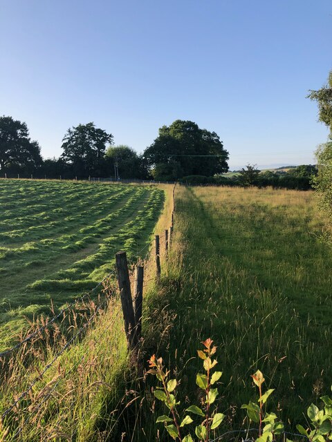
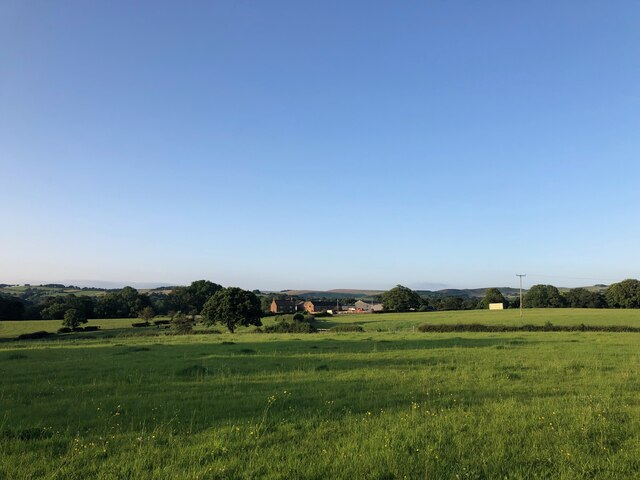
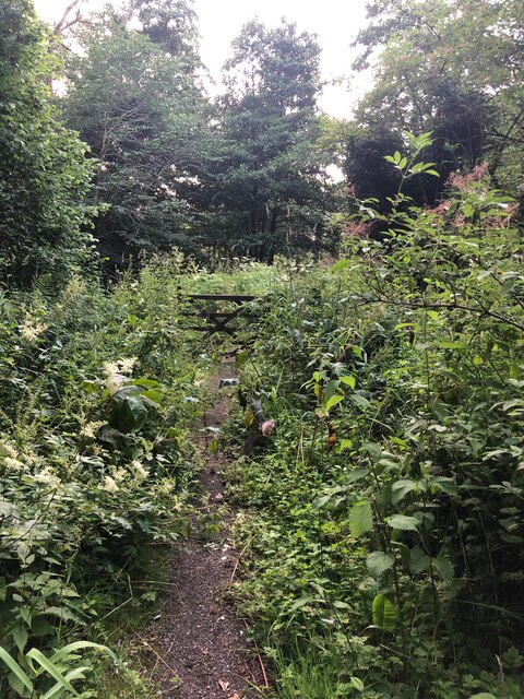
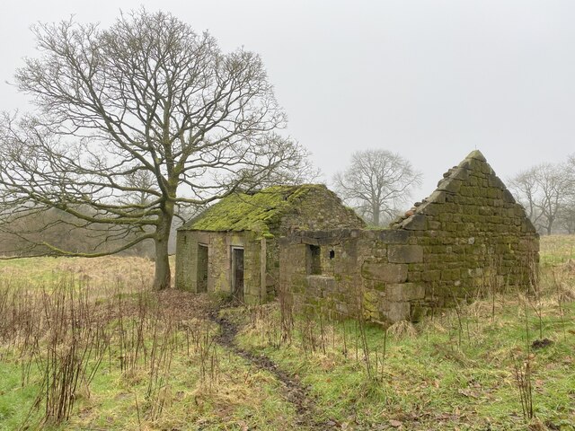
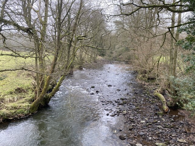
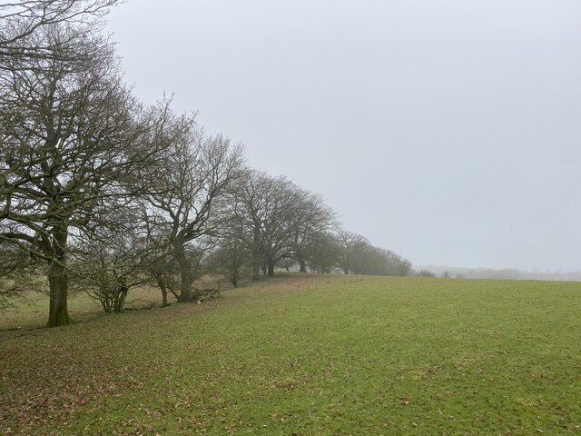
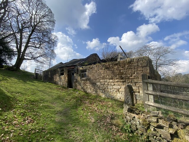
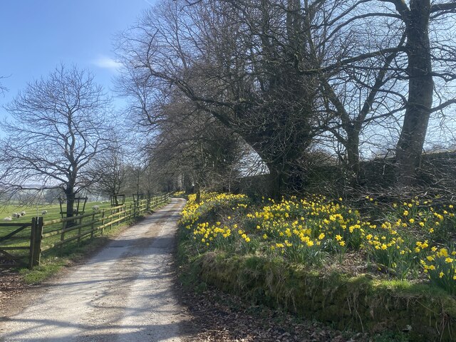
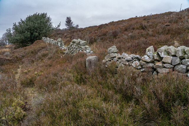
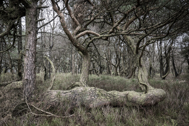
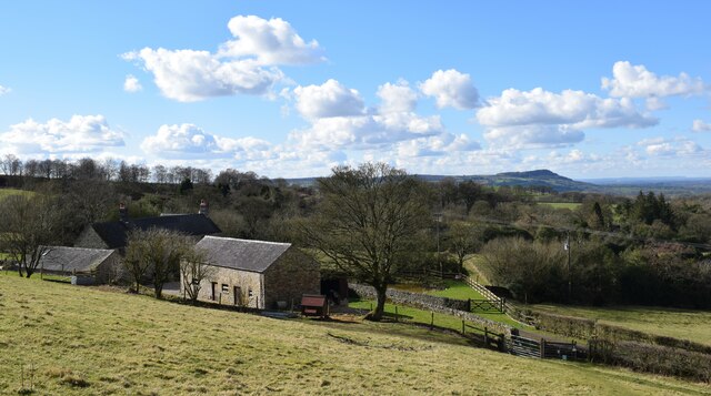
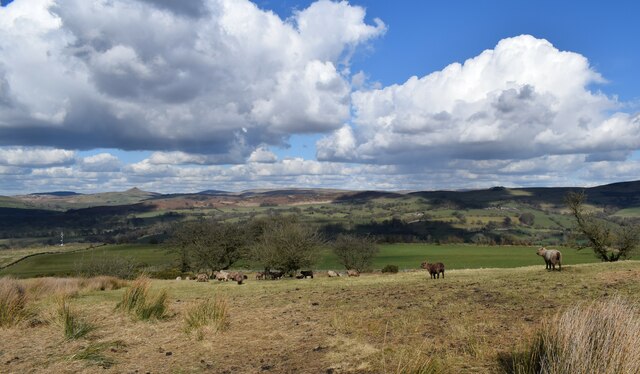
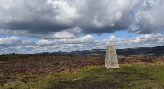
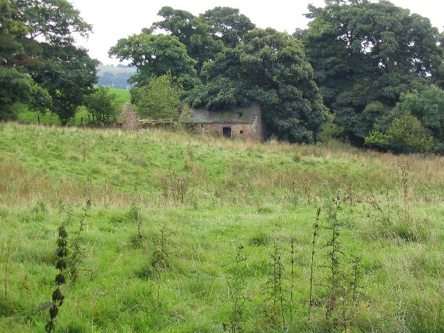
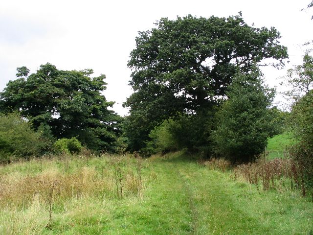
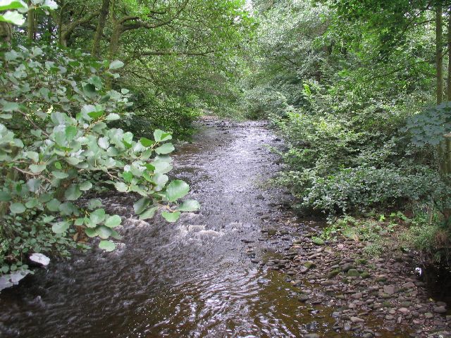
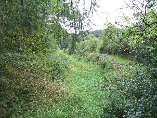
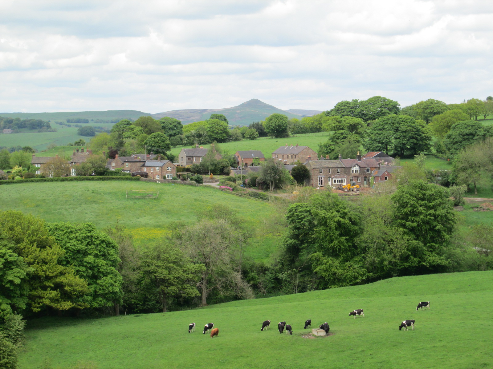
Oak Wood is a picturesque and expansive forest located in the county of Staffordshire, England. Spanning over 500 acres, it is renowned for its pristine beauty and diverse ecosystem. The wood is predominantly composed of oak trees, which give it its name and contribute to its unique character.

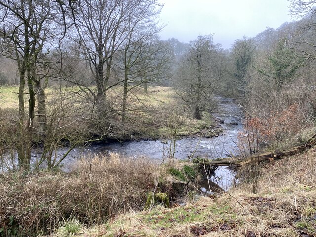
The woodland is home to a rich variety of flora and fauna, making it a haven for nature enthusiasts. The forest floor is blanketed with a myriad of wildflowers, including bluebells and primroses, creating a vibrant and colorful landscape during the spring and summer months. It also provides a habitat for numerous species of birds, mammals, and insects, making it an ideal spot for birdwatching and wildlife photography.

Visitors to Oak Wood can explore its extensive network of walking trails, which wind through the forest and offer breathtaking views of the surrounding countryside. These trails cater to all levels of fitness and provide opportunities for leisurely strolls as well as more challenging hikes. The wood is also equipped with picnic areas, allowing visitors to relax and enjoy the tranquility of their surroundings.

Oak Wood is not only a natural paradise, but it also plays a vital role in the conservation of local biodiversity. The forest is managed by the Staffordshire Wildlife Trust, which ensures the preservation of its natural heritage through sustainable practices.

In conclusion, Oak Wood in Staffordshire is a captivating forest that offers an immersive experience in nature. Its stunning landscapes, diverse wildlife, and well-maintained trails make it a must-visit destination for those seeking a peaceful retreat in the heart of Staffordshire.

If you have any feedback on the listing, please let us know in the comments section below.
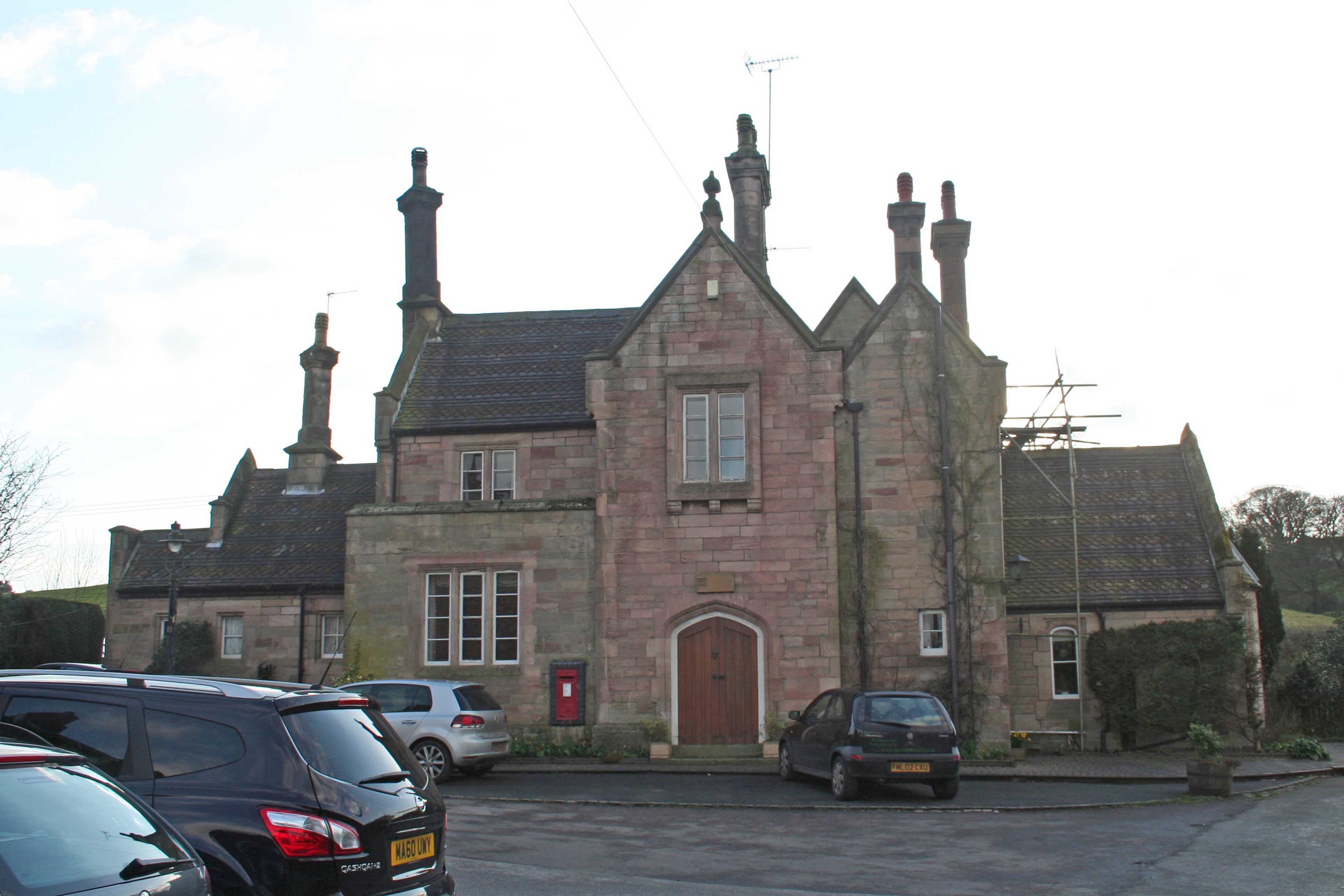
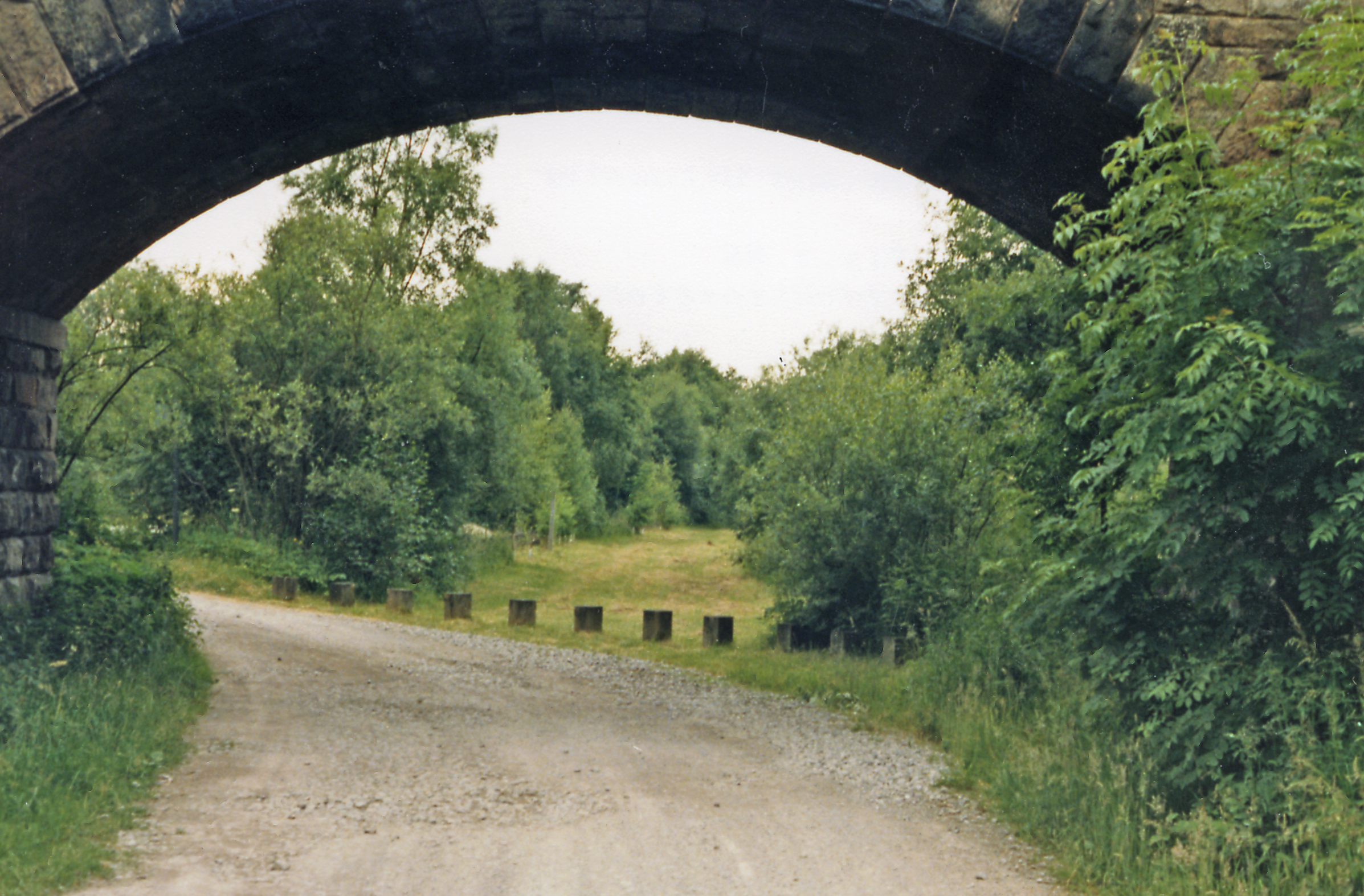
Oak Wood Images

Images are sourced within 2km of 53.166317/-2.0596119 or Grid Reference SJ9663. Thanks to Geograph Open Source API. All images are credited.

Footpath NW of The Haddon
Footpath heading to Moss Manor Moss Manor is the farm located in the centre of the picture. The footpath is barely visible.
Footpath heading to Moss Manor
Moss Manor is the farm located in the centre of the picture. The footpath is barely visible.
Gate on Dane Valley Way Taken during the COVID pandemic, the path in this area is seriously overgrown. Staffordshire Council, please note.
Gate on Dane Valley Way
Taken during the COVID pandemic, the path in this area is seriously overgrown. Staffordshire Council, please note.
The River Dane in winter
Derelict farm buildings By the Gritstone Trail.
Derelict farm buildings
By the Gritstone Trail.
River Dane Upstream from Barleigh Ford Bridge.
River Dane
Upstream from Barleigh Ford Bridge.
Row of trees marking field edge
Farm buildings in disrepair
Signs of spring
Signs of spring
Boundary Stone (BS) Heaton / Leekfirth The wall runs past on the Leekfirth side of the BS.  Not sure when the Boundary stone's were placed but The wall was probably from the "Leek Inclosure act 1805"


<span class="nowrap"><a title="https://www.staffs-wildlife.org.uk/blog/alan-weeks/history-gun-moor-meadow-and-gun-hill" rel="nofollow ugc noopener" href="https://www.staffs-wildlife.org.uk/blog/alan-weeks/history-gun-moor-meadow-and-gun-hill">Link</a><img style="margin-left:2px;" alt="External link" title="External link - shift click to open in new window" src="https://s1.geograph.org.uk/img/external.png" width="10" height="10"/></span>
Boundary Stone (BS) Heaton / Leekfirth
The wall runs past on the Leekfirth side of the BS. Not sure when the Boundary stone's were placed but The wall was probably from the "Leek Inclosure act 1805" LinkExternal link
Gunn Woods Some strange and gnarly Trees
Gunn Woods
Some strange and gnarly Trees
Cliff Hollins farm. Walking up to Gun.
Cliff Hollins farm.
Walking up to Gun.
Rough Pastureland alongside the path to Gun. Lovely walk up to Gun.
Rough Pastureland alongside the path to Gun.
Lovely walk up to Gun.
The 385 metre summit of Gun. A grand viewpoint.
The 385 metre summit of Gun.
A grand viewpoint.
Disused farm This picture was taken looking south from the Gritstone Trail at SJ948647. These disused farm buildings at SJ948647 appear to be labelled as Dumkins on the OS map.
Disused farm
This picture was taken looking south from the Gritstone Trail at SJ948647. These disused farm buildings at SJ948647 appear to be labelled as Dumkins on the OS map.
Gritstone Trail This picture was taken from SJ9485464610 looking north along the Gritstone Trail.
Gritstone Trail
This picture was taken from SJ9485464610 looking north along the Gritstone Trail.
River Dane This picture taken from the bridge where the Gritstone Trail crosses the river Dane at sj9436163682 is looking east, upstream.
River Dane
This picture taken from the bridge where the Gritstone Trail crosses the river Dane at sj9436163682 is looking east, upstream.
Conduit This photo taken from SJ9455963634 looks west. On the right can be seen the footpath, which at this point is both the Dane Valley Way and the Gritstone Trail and under the swathe of green running through the middle of the picture there is a shallow canal labelled as CONDUIT on the OS map.
Conduit
This photo taken from SJ9455963634 looks west. On the right can be seen the footpath, which at this point is both the Dane Valley Way and the Gritstone Trail and under the swathe of green running through the middle of the picture there is a shallow canal labelled as CONDUIT on the OS map.
Show me another place!

Oak Wood is located at Grid Ref: SJ9663 (Lat: 53.166317, Lng: -2.0596119)

Administrative County: Staffordshire

District: Staffordshire Moorlands

Police Authority: Staffordshire

What 3 Words

///thud.arose.loafer. Near Leek, Staffordshire

Nearby Locations

Oak Wood Clearage Wood

Related Wikis

Heaton, Staffordshire

Heaton is a small village and civil parish in Staffordshire, England. It is about 4 miles (6.4 km) north of Leek and about 7 miles (11 km) south of Macclesfield...

Swythamley Hall

Swythamley Hall is a late 18th-century country house near Leek, Staffordshire which has been converted into four separate residences. It is a Grade II...

Gun (Staffordshire)

Gun is a hill at the southern end of the Peak District, overlooking the town of Leek in the Staffordshire Moorlands. The hill is mainly moorland with some...

Rushton, Staffordshire

Rushton is a civil parish in Staffordshire, England. The village within the civil parish, usually known as Rushton Spencer, is about 4 miles (6.4 km) north...

Wincle

Wincle is a village and civil parish in the Cheshire East district of Cheshire, England. It holds parish meetings, rather than parish council meetings...

Rushton railway station

Rushton Spencer railway station was a railway station that served the village of Rushton Spencer, Staffordshire. The station was opened by the North Staffordshire...

St Michael's Church, Wincle

St Michael's Church is in the village of Wincle, Cheshire, England. It is an active Anglican parish church in the diocese of Chester, the archdeaconry...

Cliffe Park railway station

Cliffe Park railway station was opened by the North Staffordshire Railway (NSR) in 1905 on the Churnet Valley line to attract visitors to Rudyard Lake...

Nearby Amenities

Located within 500m of 53.166317,-2.0596119
Post Box
Post Box Type: lamp
Postal Code: SK11
Ref: SK11 69
Lat/Long: 53.1647027/-2.0530551
Telephone
Booth: K6
Covered: booth
Lat/Long: 53.1647171/-2.0530431
Ele: 261.0000000
Lat/Long: 53.1624927/-2.0587435
The data included in this document is from www.openstreetmap.org. The data is made available under ODbL.

Have you been to Oak Wood?

Leave your review of Oak Wood below (or comments, questions and feedback).