Low House Plantation
Wood, Forest in Northumberland
England
Low House Plantation
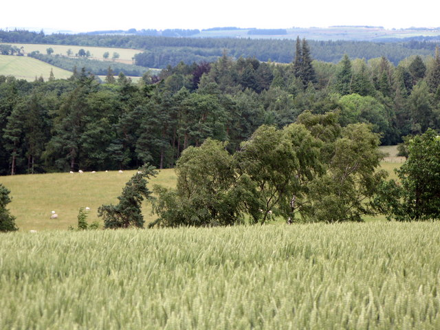
Low House Plantation is a charming rural estate nestled in the picturesque Northumberland region, renowned for its verdant woodlands and enchanting forests. Located in the northeastern part of England, the plantation spans over a large area, captivating visitors with its serene beauty and abundant natural resources.
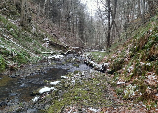
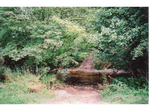
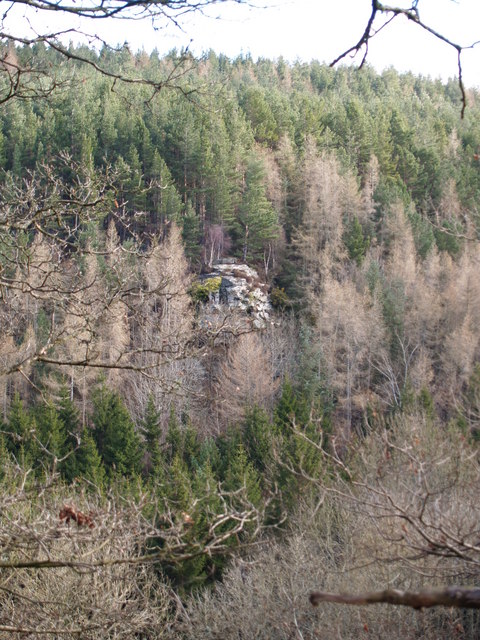
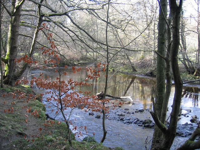
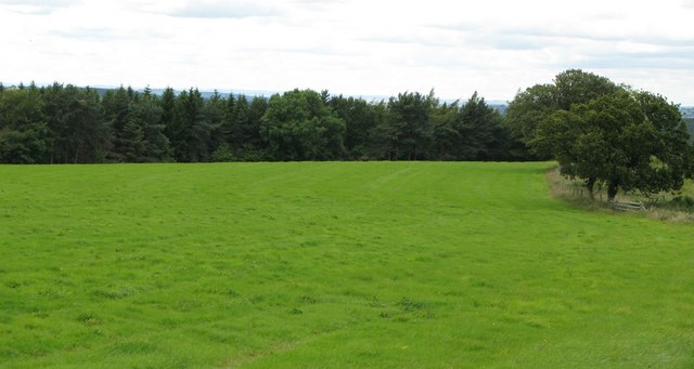
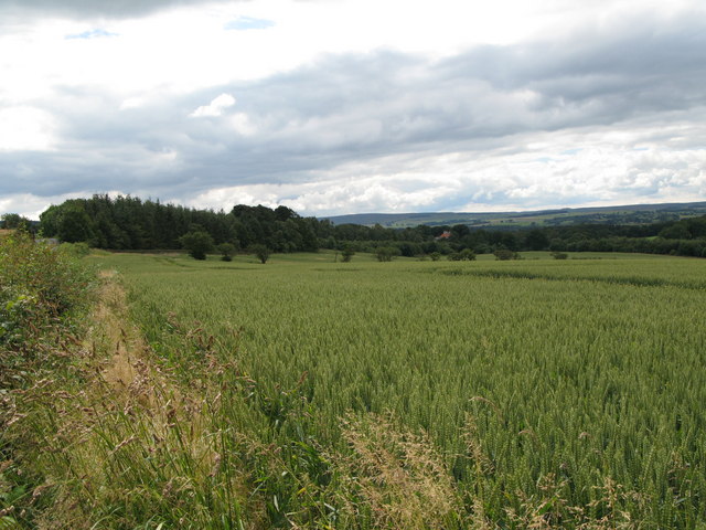
The plantation boasts an extensive collection of trees, making it a haven for nature enthusiasts and those seeking tranquility amidst lush surroundings. Towering oak, beech, and pine trees dominate the landscape, providing a rich habitat for a diverse range of flora and fauna. The dense forest cover creates a cool and refreshing ambiance, perfect for leisurely walks or engaging in outdoor activities.
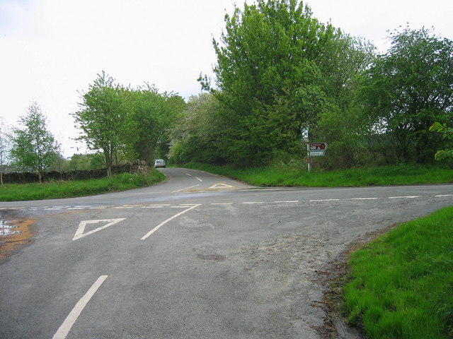
Numerous walking trails wind their way through the plantation, offering visitors the opportunity to explore its natural wonders at their own pace. The paths are well-maintained and easily accessible, making them suitable for individuals of all ages and abilities.
Wildlife thrives within the woodland, with sightings of deer, foxes, and a variety of bird species being common. The plantation is also home to several designated conservation areas, where rare and endangered species find refuge.
Low House Plantation is not only a haven for nature lovers but also a valuable resource for the local community. The woodlands contribute to the local economy through sustainable timber production and forestry practices. Additionally, the plantation offers educational programs and workshops to promote environmental awareness and conservation.
Visiting Low House Plantation allows one to immerse themselves in the serene beauty of Northumberland's woodlands, where nature reigns supreme, and a sense of peace prevails.
If you have any feedback on the listing, please let us know in the comments section below.
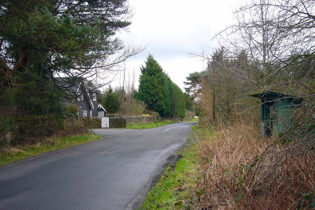
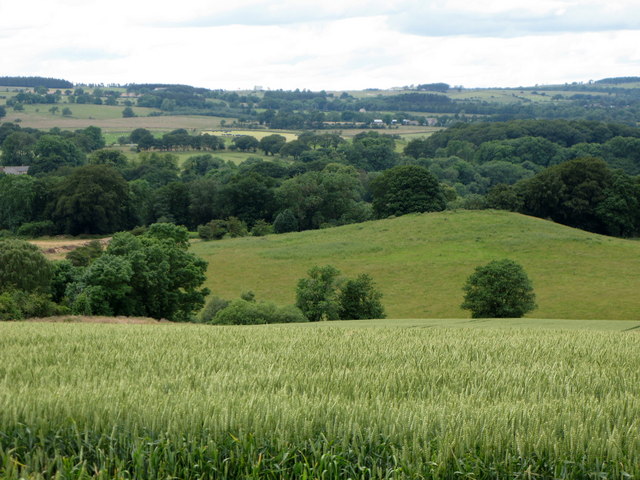
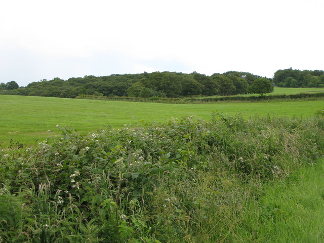
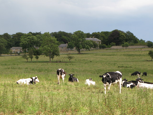
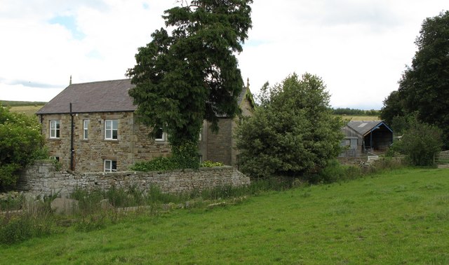
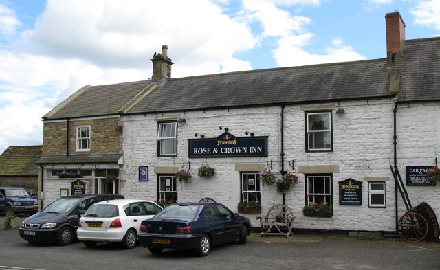
Low House Plantation Images
Images are sourced within 2km of 54.921989/-2.0597248 or Grid Reference NY9658. Thanks to Geograph Open Source API. All images are credited.

Low House Plantation is located at Grid Ref: NY9658 (Lat: 54.921989, Lng: -2.0597248)
Unitary Authority: Northumberland
Police Authority: Northumbria
What 3 Words
///inflamed.happen.blush. Near Slaley, Northumberland
Nearby Locations
Related Wikis

Rowley Burn (Northumberland)
Rowley Burn (also known as Rowley Brook and Ham Burn, NY 9358) is a stream in Northumberland, running around three miles south of Hexham before joining...

Slaley, Northumberland
Slaley is a village in Northumberland, England. It is situated to the southeast of Hexham. It is surrounded by the following villages: Ruffside, Whitley...

Hexhamshire Low Quarter
Hexhamshire Low Quarter is a former civil parish, now in the parish of Hexhamshire, in Northumberland, England. It was situated to the south of Hexham...

Juniper, Northumberland
Juniper is a hamlet in the English county of Northumberland. It is about 5 miles (8 km) due south of Hexham in the area known as Hexhamshire. There is...
Hexhamshire
Hexhamshire is a civil parish in Northern England. It was incorporated into Northumberland in 1572. == History == Hexhamshire was originally a single parish...

Colpitts Grange
Colpitts Grange is a hamlet in Northumberland, England. It is about 7 miles (11 km) to the south-east of Hexham. == Governance == Colpitts Grange is in...

Whitley Chapel
Whitley Chapel is a village in Northumberland, England about 4 miles (6 km) south of Hexham, and in the parish of Hexhamshire. == Governance == Whitley...

Slaley Hall
Slaley Hall is a country house golf resort in Northumberland in North East England, built by local developers Seamus O'Carroll and John Rourke which hosted...
Nearby Amenities
Located within 500m of 54.921989,-2.0597248Have you been to Low House Plantation?
Leave your review of Low House Plantation below (or comments, questions and feedback).