Shrine Belt
Wood, Forest in Staffordshire Stafford
England
Shrine Belt
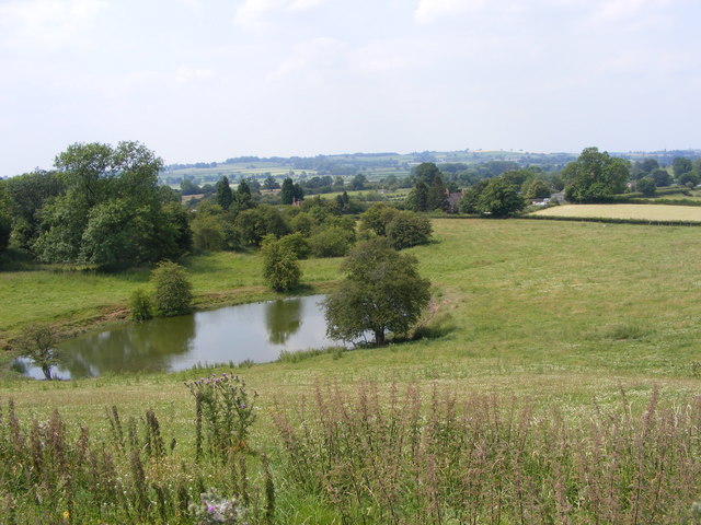
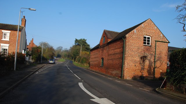
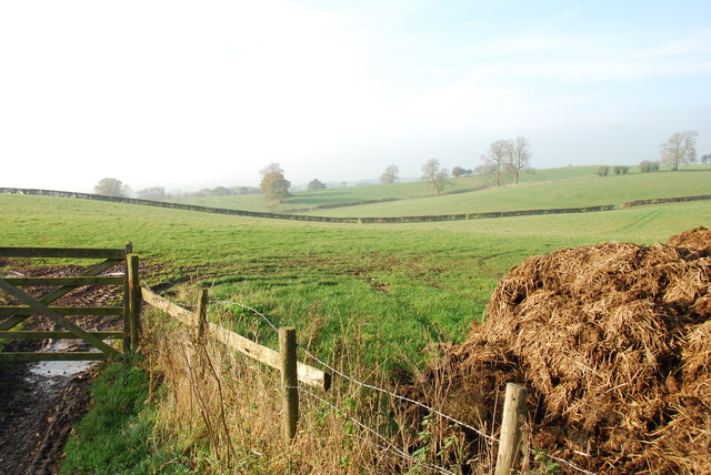
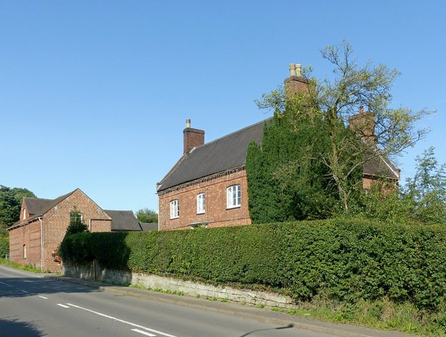
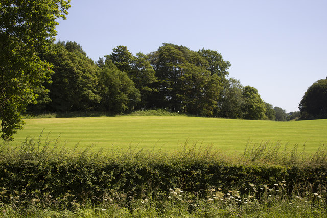
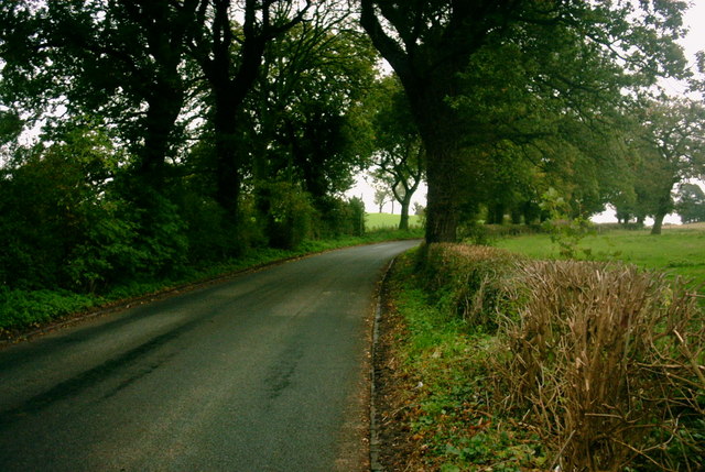
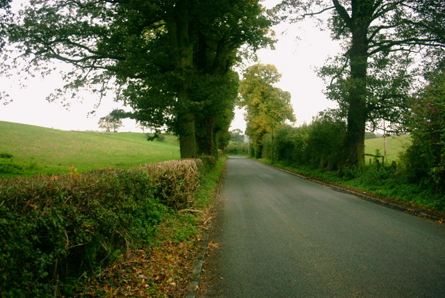
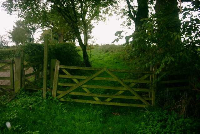
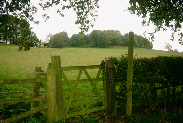
Shrine Belt, located in Staffordshire, is a captivating woodland area known for its serene beauty and historical significance. Stretching over an extensive area, this forested land offers a unique escape from the hustle and bustle of urban life.
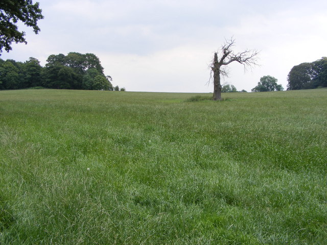
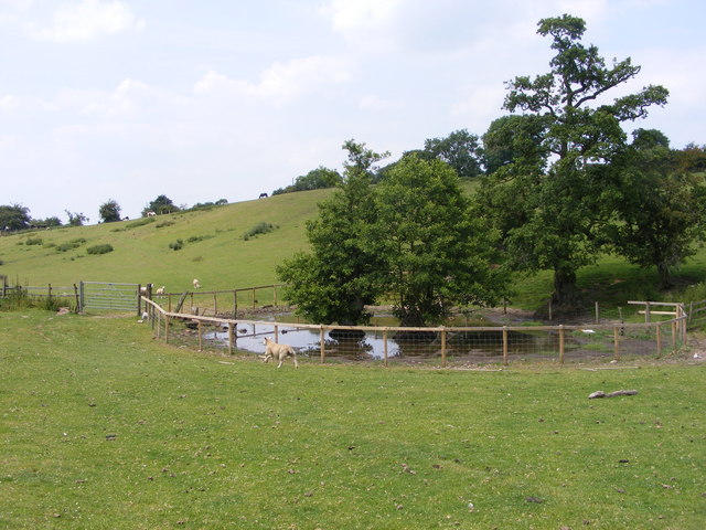
The woodland of Shrine Belt is characterized by its diverse range of trees, including oak, ash, beech, and birch, creating a rich and verdant environment. The dense canopy provides a habitat for numerous species of flora and fauna, making it a haven for nature enthusiasts and wildlife lovers. It is not uncommon to spot deer, foxes, and various bird species while exploring the forest.
Apart from its natural allure, Shrine Belt holds cultural and historical significance. In the heart of the woodland, there is a revered shrine that has been a site of pilgrimage for centuries. The shrine, dedicated to an ancient deity, attracts visitors from all over the country who come to pay their respects and seek spiritual solace. The area surrounding the shrine is adorned with beautiful stone carvings and sculptures, showcasing the craftsmanship of the region's artisans.
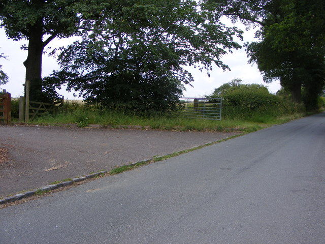
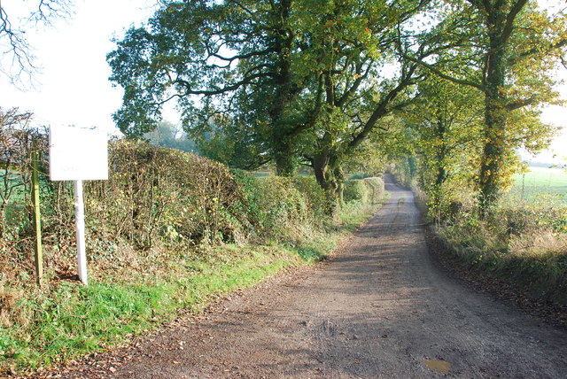
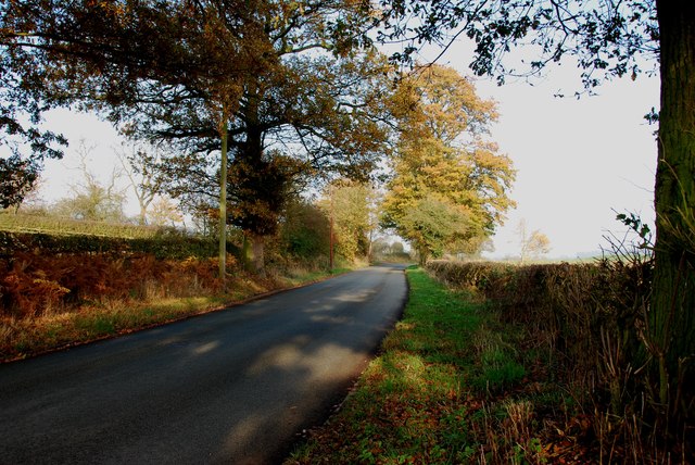
Shrine Belt is not only a place of tranquility and spirituality but also offers recreational activities for visitors. Hiking trails wind through the forest, providing opportunities for leisurely walks and challenging treks. Picnic spots and camping areas are also available, allowing families and friends to enjoy the lush surroundings.
Overall, Shrine Belt in Staffordshire is a remarkable woodland area, combining natural beauty, historical significance, and recreational possibilities. It is a destination that offers a peaceful retreat for those seeking solace in nature or a glimpse into the region's rich cultural heritage.
If you have any feedback on the listing, please let us know in the comments section below.
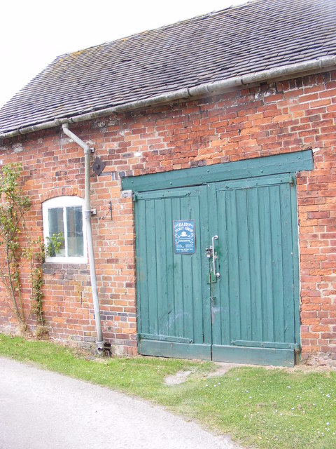
Shrine Belt Images
Images are sourced within 2km of 52.859085/-2.0614606 or Grid Reference SJ9529. Thanks to Geograph Open Source API. All images are credited.


Shrine Belt is located at Grid Ref: SJ9529 (Lat: 52.859085, Lng: -2.0614606)
Administrative County: Staffordshire
District: Stafford
Police Authority: Staffordshire
What 3 Words
///deck.solution.establish. Near Great Haywood, Staffordshire
Nearby Locations
Related Wikis

Sandon Hall
Sandon Hall is a 19th-century country mansion, the seat of the Earl of Harrowby, at Sandon, Staffordshire, 5 miles (8.0 km) northeast of Stafford. It is...

Sandon, Staffordshire
Sandon is a village in the civil parish of Sandon and Burston, in the Stafford district, in the county of Staffordshire, England. It is about 4.5 miles...

Salt, Staffordshire
Salt is a village in the Borough of Stafford in Staffordshire, England. It is three miles northeast of Stafford situated half a mile southwest of the A51...

Sandon railway station
Sandon railway station was a railway station opened by the North Staffordshire Railway to serve the village of Sandon, Staffordshire, England. For some...

Salt and Sandon railway station
Salt and Sandon railway station was a former British railway station opened by the Stafford and Uttoxeter Railway to serve the village of Salt in Staffordshire...

Gayton, Staffordshire
Gayton is a small rural village and civil parish in Staffordshire, located approximately 1 mile from the A51 between Stone and Stafford. In 2001 it had...

Weston, Staffordshire
Weston is a village and civil parish. within the English county of Staffordshire. The parish is in the local authority of Stafford (non-metropolitan district...
Weston and Ingestre railway station
Weston and Ingestre railway station was a former British railway station opened by the North Staffordshire Railway to serve the village of Ingestre in...
Related Videos

Historic Staffordshire Walk - Holly Bush Salt - Hopton Heath & Tinkerboro
This short 3.5 mile walk starts at the Historic Holly Bush in the Staffordshire village of Salt. The pub is one of the oldest in England ...

Behind the scenes...
A sneak peek behind the scenes of the making of The Sylvan Pet Hotel....from concept to finished facility....this is an insight into the ...
Have you been to Shrine Belt?
Leave your review of Shrine Belt below (or comments, questions and feedback).