Short's Belt
Wood, Forest in Staffordshire Stafford
England
Short's Belt
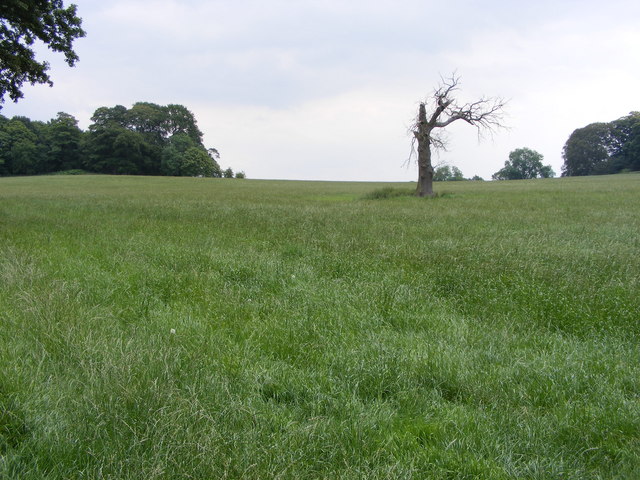
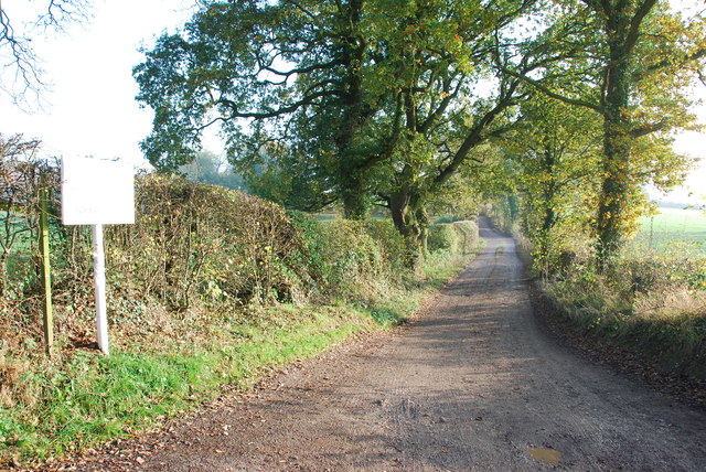
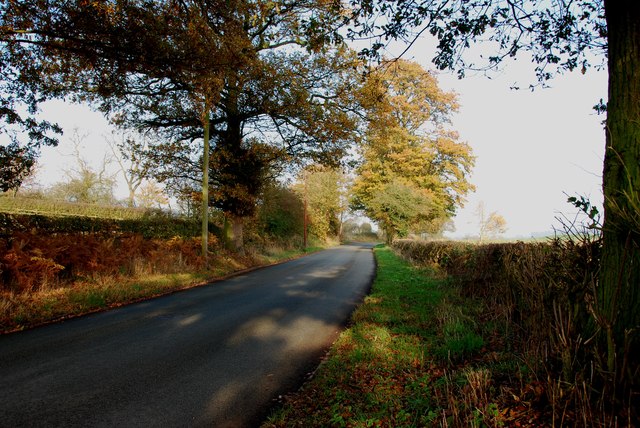
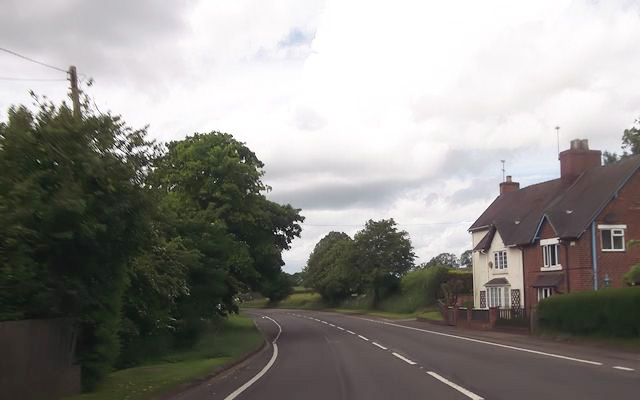
Short's Belt is a small woodland area located in Staffordshire, England. Covering an area of approximately 200 acres, it is situated in the heart of the county, near the town of Stafford. The woodland is well-known for its picturesque beauty and is a popular destination for nature lovers and outdoor enthusiasts.
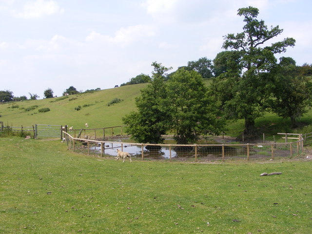
The forest is predominantly made up of broadleaf trees, such as oak, birch, and beech, creating a dense and vibrant canopy. The varied vegetation provides a habitat for a wide range of wildlife, including birds, squirrels, and deer. Visitors can often spot these animals while exploring the woodland on one of the many well-marked trails.
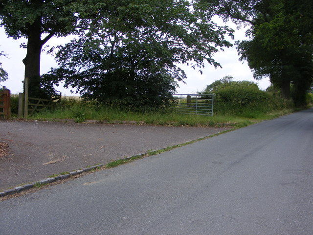
Short's Belt offers a peaceful and serene environment, making it an ideal spot for walking, hiking, and picnicking. The trails wind through the forest, taking visitors on a journey through the natural beauty of the area. Along the way, they can enjoy the sights and sounds of the woodland, with wildflowers and birdsong adding to the tranquil atmosphere.
The woodland is managed by local authorities, ensuring the preservation of its natural features and protecting its wildlife. There are also designated areas for conservation, allowing the flora and fauna to thrive undisturbed. Educational programs and guided tours are occasionally organized to raise awareness about the importance of protecting and preserving this valuable natural resource.
Overall, Short's Belt in Staffordshire is a stunning woodland area that offers a peaceful retreat for those seeking to connect with nature. Its diverse ecosystem and well-maintained trails make it a must-visit destination for anyone looking to explore the beauty of Staffordshire's countryside.
If you have any feedback on the listing, please let us know in the comments section below.
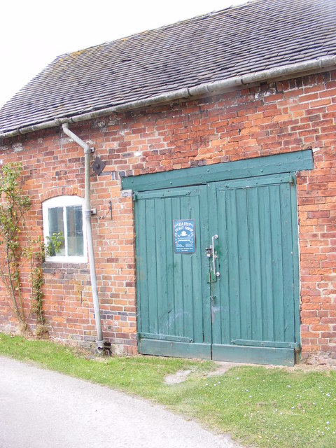
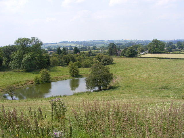
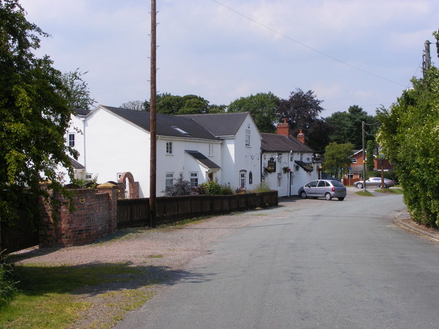
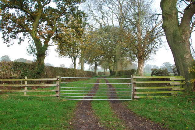
Short's Belt Images
Images are sourced within 2km of 52.86438/-2.0628198 or Grid Reference SJ9529. Thanks to Geograph Open Source API. All images are credited.


Short's Belt is located at Grid Ref: SJ9529 (Lat: 52.86438, Lng: -2.0628198)
Administrative County: Staffordshire
District: Stafford
Police Authority: Staffordshire
What 3 Words
///submerged.equality.prompts. Near Great Haywood, Staffordshire
Nearby Locations
Related Wikis

Sandon Hall
Sandon Hall is a 19th-century country mansion, the seat of the Earl of Harrowby, at Sandon, Staffordshire, 5 miles (8.0 km) northeast of Stafford. It is...

Sandon, Staffordshire
Sandon is a village in the civil parish of Sandon and Burston, in the Stafford district, in the county of Staffordshire, England. It is about 4.5 miles...

Sandon railway station
Sandon railway station was a railway station opened by the North Staffordshire Railway to serve the village of Sandon, Staffordshire, England. For some...

Salt, Staffordshire
Salt is a village in the Borough of Stafford in Staffordshire, England. It is three miles northeast of Stafford situated half a mile southwest of the A51...

Salt and Sandon railway station
Salt and Sandon railway station was a former British railway station opened by the Stafford and Uttoxeter Railway to serve the village of Salt in Staffordshire...

Gayton, Staffordshire
Gayton is a small rural village and civil parish in Staffordshire, located approximately 1 mile from the A51 between Stone and Stafford. In 2001 it had...

Milwich
Milwich is a village and a civil parish in the English county of Staffordshire. == Location == The village is 7.8 miles (12.6 km) north east of the town...

Weston, Staffordshire
Weston is a village and civil parish. within the English county of Staffordshire. The parish is in the local authority of Stafford (non-metropolitan district...
Related Videos
The Hunt for 5 Disused Stations in Staffordshire! | Sim0nTrains Walking Journey
7 Miles, 5 Disused Stations and 4 Villages and all by walking! This video is in search for 5 disused railway stations in Staffordshire ...

prison!! officer karen shows me the hand after walking infront of my camera #prison #pinac
to support the channel via PayPal please follow the link below and choose friends & family option thank-you for your support ...

VW Out_And_About The winking Man (The Roach's)
Hi all This is a new type of video for us as we have another channel that is mainly for our hobby which is metal detecting have a ...

Have you been to Short's Belt?
Leave your review of Short's Belt below (or comments, questions and feedback).