Butlers Wood

Wood, Forest in Worcestershire Wychavon

England

Butlers Wood

NT Hanbury Hall View across the autumnal formal garden towards the South-west facade.
NT Hanbury Hall Credit: Jonathan Billinger

Butlers Wood is a beautiful woodland area located in the county of Worcestershire, England. This enchanting forest covers an area of approximately 50 acres and is situated near the village of Bewdley. It is a popular destination for nature lovers and outdoor enthusiasts due to its stunning natural surroundings and tranquil atmosphere.

The woodland is primarily made up of a mixture of broadleaf trees, including oak, beech, and birch, which create a dense canopy overhead. The forest floor is covered with a thick carpet of ferns, bluebells, and other native woodland plants, providing a picturesque setting for visitors to explore.

Butlers Wood is home to a variety of wildlife, making it a haven for nature enthusiasts. Birdwatchers can spot a range of species, including woodpeckers, nuthatches, and various woodland songbirds. The forest also provides habitat for mammals such as rabbits, foxes, and deer, which can occasionally be seen roaming through the trees.

The woodland offers several walking trails and paths, allowing visitors to immerse themselves in the natural beauty of the area. These trails are well-maintained and suitable for people of all ages and fitness levels. Additionally, there are picnic areas and benches scattered throughout the forest, providing the perfect spot to relax and enjoy a packed lunch amidst the peaceful surroundings.

Butlers Wood is a cherished natural gem in Worcestershire, offering a peaceful escape from the hustle and bustle of everyday life. Whether it's for a leisurely stroll, birdwatching, or simply enjoying the beauty of nature, this woodland provides a delightful experience for all who visit.

If you have any feedback on the listing, please let us know in the comments section below.
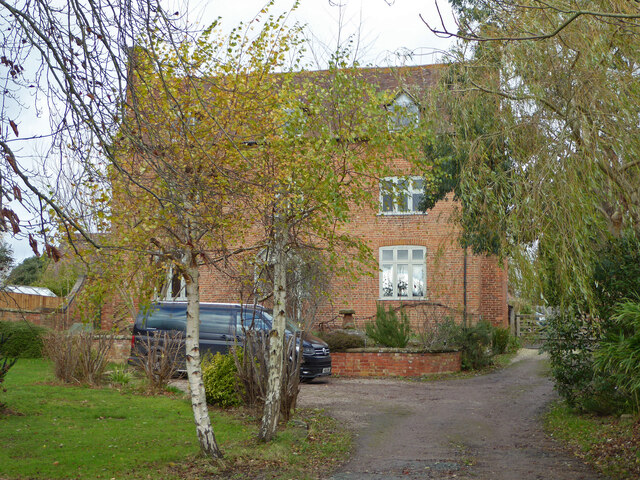
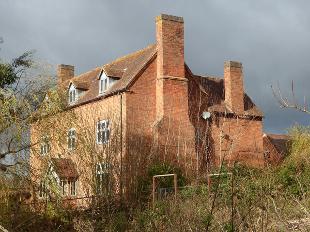
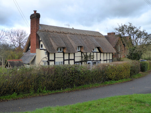
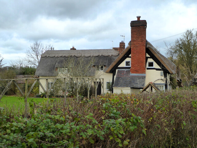
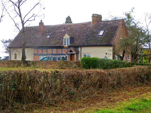
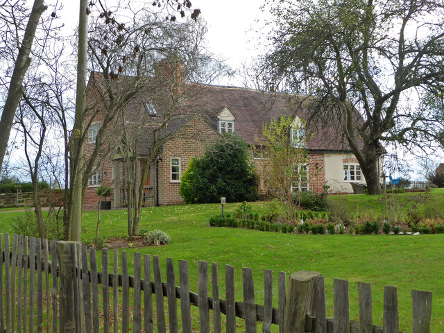
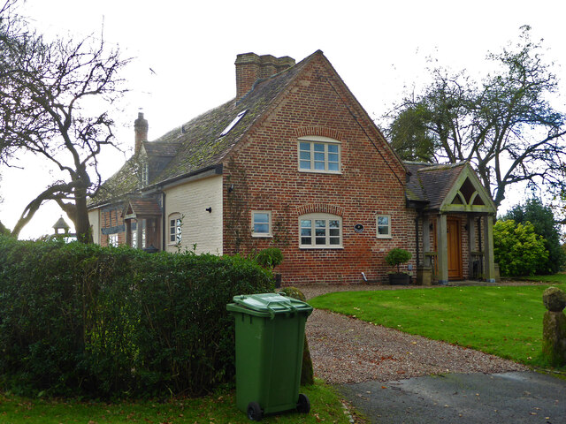
Butlers Wood Images

Images are sourced within 2km of 52.257888/-2.0657063 or Grid Reference SO9562. Thanks to Geograph Open Source API. All images are credited.

NT Hanbury Hall View across the autumnal formal garden towards the South-west facade.
NT Hanbury Hall
View across the autumnal formal garden towards the South-west facade.
Still Life at Hanbury An autumnal display near the entrance to Hanbury Hall.
Still Life at Hanbury
An autumnal display near the entrance to Hanbury Hall.
Dahlia display Within the walled garden at Hanbury Hall.
Dahlia display
Within the walled garden at Hanbury Hall.
The parterre garden at Hanbury Hall A recreation of the garden designed by George London in 1705.
The parterre garden at Hanbury Hall
A recreation of the garden designed by George London in 1705.
Hanbury Hall National Trust property in Worcestershire built in 1701.
Hanbury Hall
National Trust property in Worcestershire built in 1701.
Mere Green Farmhouse Grade II Listed. Listed as in Hanbury ward. The view from the public road. There are two further listed buildings in the complex but there are no good trespass free views.
Mere Green Farmhouse
Grade II Listed. Listed as in Hanbury ward. The view from the public road. There are two further listed buildings in the complex but there are no good trespass free views.
Mere Green Farmhouse Grade II Listed. This was the best view I could manage from a public place. The complex includes two further listed buildings but I could not get a meaningful view of those from public places.
Mere Green Farmhouse
Grade II Listed. This was the best view I could manage from a public place. The complex includes two further listed buildings but I could not get a meaningful view of those from public places.
Well Cottage, Hanbury A 17th century house with a thatched roof, Listed Grade II.
Well Cottage, Hanbury
A 17th century house with a thatched roof, Listed Grade II.
Well Cottage, Hanbury A 17th century thatched dwelling, Listed Grade II.
Well Cottage, Hanbury
A 17th century thatched dwelling, Listed Grade II.
Dovecote by Pumphouse Farm Early 17th century dovecote, Listed Grade II. Difficult to get a clear view over the hedge from the public road. There is no convenient public footpath here.
Dovecote by Pumphouse Farm
Early 17th century dovecote, Listed Grade II. Difficult to get a clear view over the hedge from the public road. There is no convenient public footpath here.
Barn at Pumphouse Farm, Hanbury Grade II Listed.
Barn at Pumphouse Farm, Hanbury
Grade II Listed.
Pumphouse Farmhouse, Hanbury Grade II Listed.
Pumphouse Farmhouse, Hanbury
Grade II Listed.
White House Cottage, Hanbury Early 18th century with late 19th and early 20th century alterations. Grade II Listed.
White House Cottage, Hanbury
Early 18th century with late 19th and early 20th century alterations. Grade II Listed.
Appleby, Hanbury An early 17th century house with late 19th and mid-20th century alterations and additions. Listed Grade II.
Appleby, Hanbury
An early 17th century house with late 19th and mid-20th century alterations and additions. Listed Grade II.
Appleby, Hanbury An early 17th century house with late 19th and mid-20th century alterations and additions. Listed Grade II.
Appleby, Hanbury
An early 17th century house with late 19th and mid-20th century alterations and additions. Listed Grade II.
Appleby, Hanbury An early 17th century house with late 19th and mid-20th century alterations and additions. Listed Grade II.
Appleby, Hanbury
An early 17th century house with late 19th and mid-20th century alterations and additions. Listed Grade II.
Public footpath off Pumphouse Lane, Hanbury Hanbury Church is seen on the hill in the background
Public footpath off Pumphouse Lane, Hanbury
Hanbury Church is seen on the hill in the background
The White House, Hanbury A large old house in this Worcestershire village. I thought at first it must be one of the local listed buildings but soon realised it does not have any statutory protection.
The White House, Hanbury
A large old house in this Worcestershire village. I thought at first it must be one of the local listed buildings but soon realised it does not have any statutory protection.
Show me another place!

Butlers Wood is located at Grid Ref: SO9562 (Lat: 52.257888, Lng: -2.0657063)

Administrative County: Worcestershire

District: Wychavon

Police Authority: West Mercia

What 3 Words

///blessing.worlds.daunting. Near Stoke Prior, Worcestershire

Related Wikis

Mere Green, Worcestershire

Mere Green is a hamlet in the English county of Worcestershire. It is located south of the village of Hanbury roughly midway between Worcester and Redditch...

Hanbury, Worcestershire

Hanbury is a rural village in Worcestershire, England near Droitwich Spa and the M5 motorway. The population of Hanbury has remained around 1,000 since...
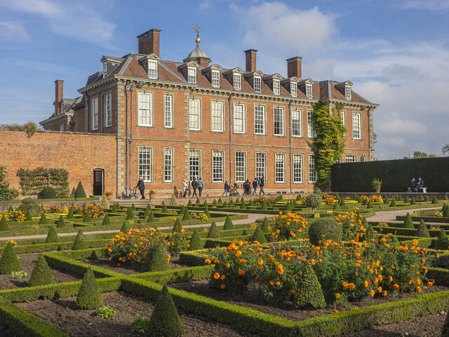
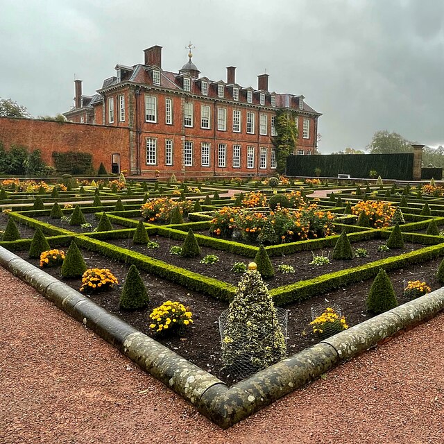
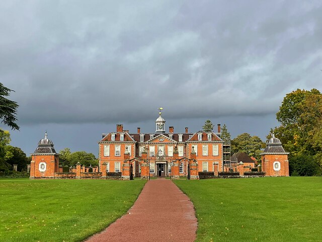
Hanbury Hall

Hanbury Hall is a large 18th-century stately home standing in parkland at Hanbury, Worcestershire. The main range has two storeys and is built of red brick...

St Mary the Virgin, Hanbury

The church of St Mary the Virgin is an Anglican parish church in the village of Hanbury, Worcestershire. Its earliest parts date from about 1210 and it...

Droitwich Road railway station

Droitwich Road railway station served the town of Droitwich Spa, Worcestershire, England, from 1840 to 1855 on the Birmingham and Gloucester Railway....

Earls Common

Earls Common is a village in Worcestershire, England. Villages nearby include Himbleton and Stock Green.

Feckenham Forest

Feckenham Forest was a royal forest, centred on the village of Feckenham, covering large parts of Worcestershire and west Warwickshire. It was not entirely...

Bradley Green, Worcestershire

Bradley Green is a village in the Wychavon district of Worcestershire, England. It is located just south of the town of Redditch and south of Feckenham...

Nearby Amenities

Located within 500m of 52.257888,-2.0657063
Bus Stop
Crossroads
Bus: yes
Naptan AtcoCode: 2000G019200
Naptan Bearing: W
Naptan BusStopType: CUS
Naptan CommonName: Crossroads
Naptan Indicator: adj
Naptan Landmark: Saltway
Naptan NaptanCode: wocdgapt
Naptan Street: B4090
Naptan Verified: no
Public Transport: platform
Source: naptan_import
Lat/Long: 52.2600013/-2.0721149
Bus Stop
Crossroads
Bus: yes
Naptan AtcoCode: 2000G323311
Naptan Bearing: E
Naptan BusStopType: CUS
Naptan CommonName: Crossroads
Naptan Indicator: opp
Naptan Landmark: Saltway
Naptan NaptanCode: wocgmagm
Naptan Street: B4090
Naptan Verified: no
Public Transport: platform
Source: naptan_import
Lat/Long: 52.2601452/-2.0719247
Power: pole
Lat/Long: 52.2613481/-2.0632305
Power: pole
Lat/Long: 52.2613185/-2.0645448
Power: pole
Lat/Long: 52.2552406/-2.0662721
Power: pole
Lat/Long: 52.2578618/-2.0655305
Power: pole
Lat/Long: 52.2567619/-2.0655828
Power: pole
Lat/Long: 52.2613818/-2.067939
Power: pole
Lat/Long: 52.2595127/-2.0648398
Power: pole
Lat/Long: 52.2615008/-2.0696019
Power: pole
Lat/Long: 52.2612587/-2.0664289
Power: pole
Lat/Long: 52.2608917/-2.0634907
Power: pole
Lat/Long: 52.2536218/-2.0669427
Power: pole
Lat/Long: 52.2588839/-2.0654996
Power: pole
Lat/Long: 52.2600266/-2.0643275
Power: pole
Lat/Long: 52.2622601/-2.066563
The data included in this document is from www.openstreetmap.org. The data is made available under ODbL.

Have you been to Butlers Wood?

Leave your review of Butlers Wood below (or comments, questions and feedback).