Lord's Wood

Wood, Forest in Yorkshire Craven

England

Lord's Wood

Gate between fields above Flasby Flasby is out of sight in the dip ahead. We had inadvertently wandered away from the path which is nearer to Flasby Beck.
Gate between fields above Flasby Credit: Bill Boaden

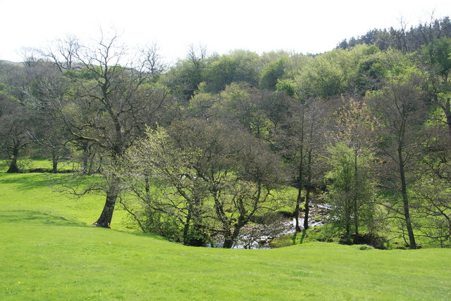
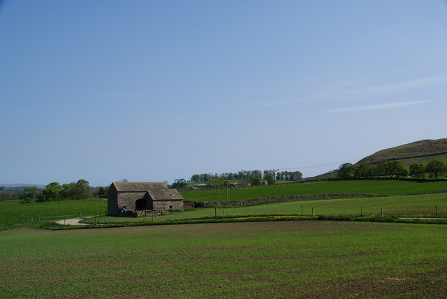
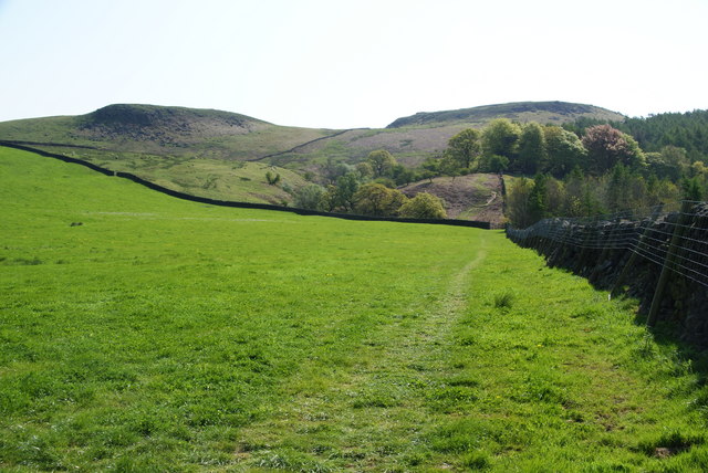
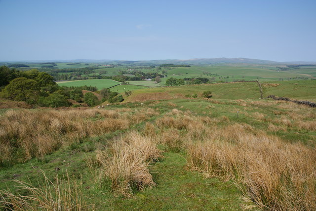
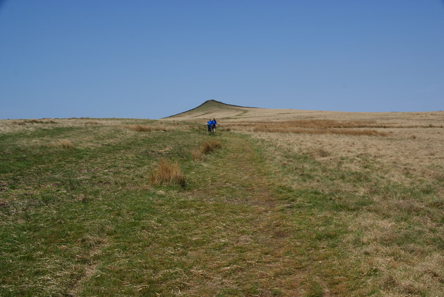
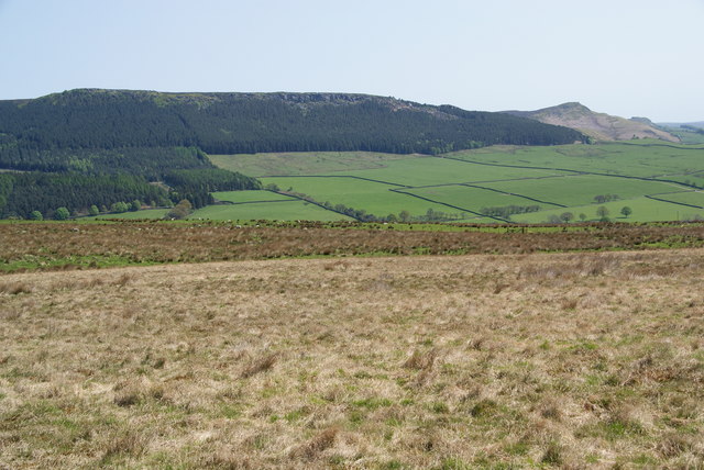
Lord's Wood is a picturesque woodland located in the county of Yorkshire, England. Covering an area of approximately 100 acres, it is an enchanting example of a mixed deciduous forest. The wood is situated in a rural setting, surrounded by rolling hills and meadows, providing a tranquil escape from the bustling city life.

The woodland boasts a diverse range of tree species, including oak, beech, birch, and ash, among others. The dense canopy created by these towering trees provides shelter and habitat for a variety of wildlife, making it a popular spot for nature enthusiasts and birdwatchers. The forest floor is adorned with an array of wildflowers and ferns, adding to its natural beauty.

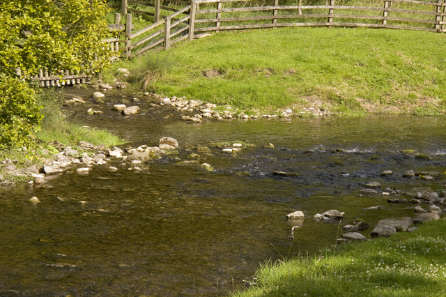
A network of well-maintained walking trails meanders through Lord's Wood, allowing visitors to explore its captivating scenery at their own pace. The pathways offer glimpses of hidden ponds and small streams, enhancing the overall charm of the woodland. Along the trails, informative signboards provide interesting facts about the flora and fauna found in the area.

Lord's Wood is managed by a dedicated team of conservationists who work tirelessly to preserve its natural integrity. They conduct regular tree surveys and implement sustainable practices to ensure the long-term health and vitality of the woodland.

A visit to Lord's Wood offers a peaceful retreat into nature, providing a sanctuary for both humans and wildlife alike. Whether it's a leisurely walk, birdwatching, or simply immersing oneself in the tranquility of the surroundings, Lord's Wood is a true gem in the heart of Yorkshire.

If you have any feedback on the listing, please let us know in the comments section below.
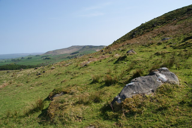
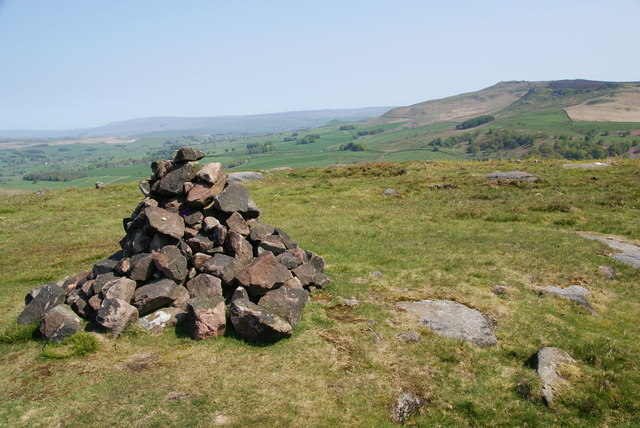
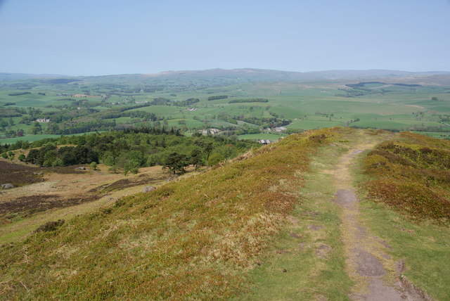
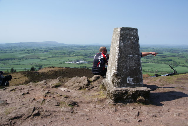
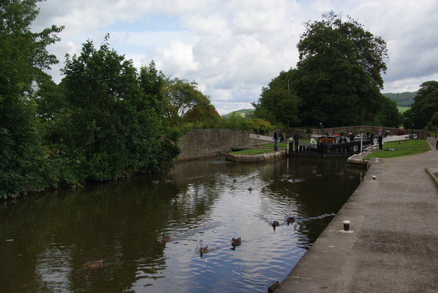
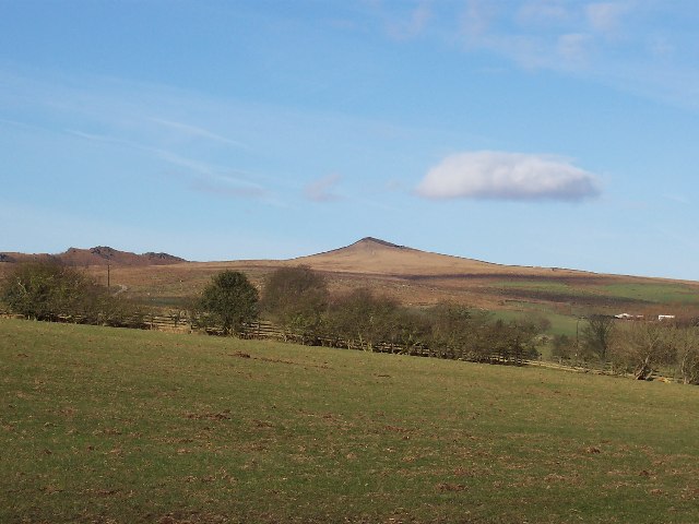
Lord's Wood Images

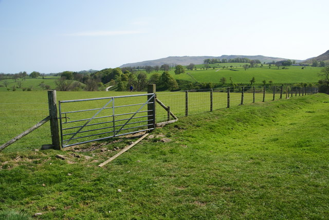
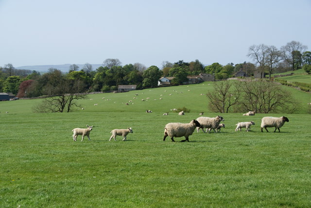
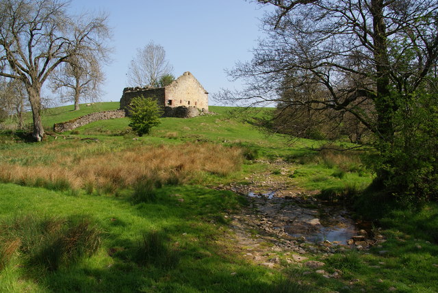
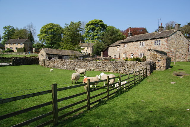
Images are sourced within 2km of 53.993013/-2.0795371 or Grid Reference SD9455. Thanks to Geograph Open Source API. All images are credited.

Gate between fields above Flasby Flasby is out of sight in the dip ahead. We had inadvertently wandered away from the path which is nearer to Flasby Beck.
Gate between fields above Flasby
Flasby is out of sight in the dip ahead. We had inadvertently wandered away from the path which is nearer to Flasby Beck.
Sheep near Flasby Flasby is in the trees ahead.
Sheep near Flasby
Flasby is in the trees ahead.
Holme Laithe
Holme Laithe
Flasby As seen from the footpath alongside Flasby Beck.
Flasby
As seen from the footpath alongside Flasby Beck.
Flasby Beck Viewed from the side of Holme Laithe.
Flasby Beck
Viewed from the side of Holme Laithe.
Oldfield Laithe On the western lower slopes of Flasby Fell.
Oldfield Laithe
On the western lower slopes of Flasby Fell.
Path heading for Flasby Fell The access land begins at the next wall. On the map, the path strikes further left to the gap in the wall, but most current usage keeps by the wall till later.
Path heading for Flasby Fell
The access land begins at the next wall. On the map, the path strikes further left to the gap in the wall, but most current usage keeps by the wall till later.
The lower slopes of Flasby Fell A small beck runs down here, with the potential for making the ground boggy. In the distance are the Bowland hills.
The lower slopes of Flasby Fell
A small beck runs down here, with the potential for making the ground boggy. In the distance are the Bowland hills.
The northern side of Rough Haw Beyond is Rylstone Fell.
The northern side of Rough Haw
Beyond is Rylstone Fell.
Cairn at the top of Rough Haw Rylstone Fell is behind.
Cairn at the top of Rough Haw
Rylstone Fell is behind.
The gap between Rough Haw and Sharp Haw Looking from Rough Haw towards Sharp Haw.
The gap between Rough Haw and Sharp Haw
Looking from Rough Haw towards Sharp Haw.
The north end of Sharp Haw hilltop This is taken from the trig point.
The north end of Sharp Haw hilltop
This is taken from the trig point.
Trig point on Sharp Haw It wasn't possible to view this without people. In the distance is Pendle, and to the right of it Longridge Fell.
Trig point on Sharp Haw
It wasn't possible to view this without people. In the distance is Pendle, and to the right of it Longridge Fell.
Skyrakes A large expanse of smoothly contoured open moorland.
Skyrakes
A large expanse of smoothly contoured open moorland.
On Skyrakes Looking east. You can just see the green strip which is the farmland around Skyrakes Farm. On the opposite side of the valley is Crookrise Wood and Crookrise Crag above it, with Embsay Crag over to the right.
On Skyrakes
Looking east. You can just see the green strip which is the farmland around Skyrakes Farm. On the opposite side of the valley is Crookrise Wood and Crookrise Crag above it, with Embsay Crag over to the right.
Confluence of Eshton Beck and Flasby Beck Flasby beck is joining up here with the larger Eshton Beck
Confluence of Eshton Beck and Flasby Beck
Flasby beck is joining up here with the larger Eshton Beck
Ducks by Lock 32 of the Leeds and Liverpool Canal The lock can accommodate two barges, and two are just about to emerge from the lock.
Ducks by Lock 32 of the Leeds and Liverpool Canal
The lock can accommodate two barges, and two are just about to emerge from the lock.
Show me another place!

Lord's Wood is located at Grid Ref: SD9455 (Lat: 53.993013, Lng: -2.0795371)

Division: West Riding

Administrative County: North Yorkshire

District: Craven

Police Authority: North Yorkshire

What 3 Words

///spins.bulky.lakes. Near Gargrave, North Yorkshire

Related Wikis

Sharp Haw

Sharp Haw is a hill on the southern edge of the Yorkshire Dales, located just within the National Park. Being the last outpost of the hills before the...

Flasby

Flasby is a hamlet in the Yorkshire Dales in North Yorkshire, England. It is one of the two settlements, with Winterburn, in the civil parish of Flasby...

Eshton

Eshton is a small village and civil parish in the Craven district of North Yorkshire, England. At the 2011 Census the population was less than 100 and...

Gargrave

Gargrave is a large village and civil parish in the Craven district located along the A65, 4 miles (6 km) north-west of Skipton in North Yorkshire, England...

Nearby Amenities

Located within 500m of 53.993013,-2.0795371
Monk Hill
Natural: peak
Source: OS 1:25k
Lat/Long: 53.9917834/-2.0827707
Hiking: yes
Information: guidepost
Source: GPS survey
Tourism: information
Lat/Long: 53.9951062/-2.0733261
Power: pole
Lat/Long: 53.9925108/-2.0863831
Power: pole
Lat/Long: 53.9936777/-2.0855677
Power: pole
Lat/Long: 53.9945386/-2.0849884
Power: pole
Lat/Long: 53.99545/-2.0843554
Power: pole
Lat/Long: 53.9963361/-2.0837921
The data included in this document is from www.openstreetmap.org. The data is made available under ODbL.

Have you been to Lord's Wood?

Leave your review of Lord's Wood below (or comments, questions and feedback).