Beech Wood

Wood, Forest in Northumberland

England

Beech Wood

A peek into Harden Quarry The source of red roadstone.  'Harden Red' is a red volcanic felsite.  It is used for cycleways, bus lanes and, famously, for surfacing The Mall.
A peek into Harden Quarry Credit: Leanmeanmo

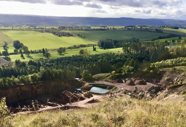
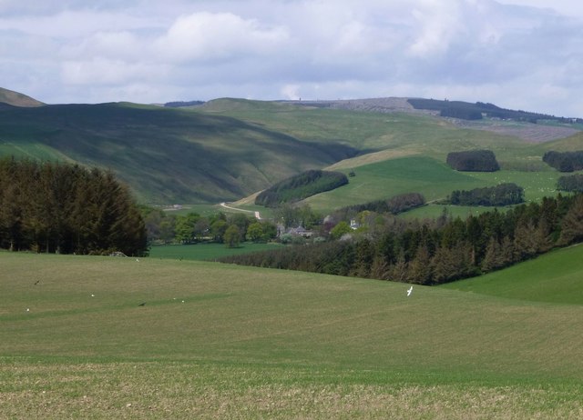
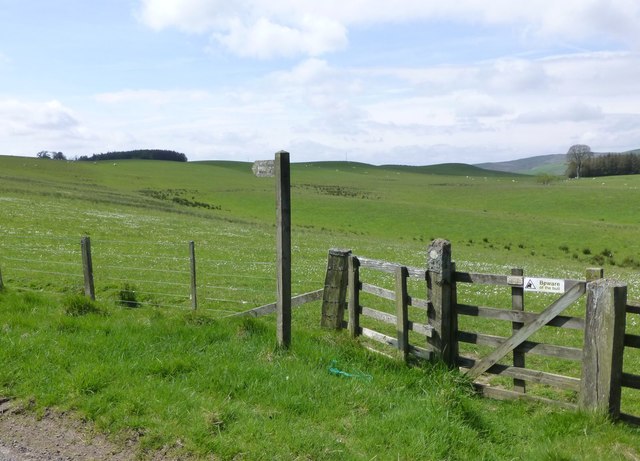
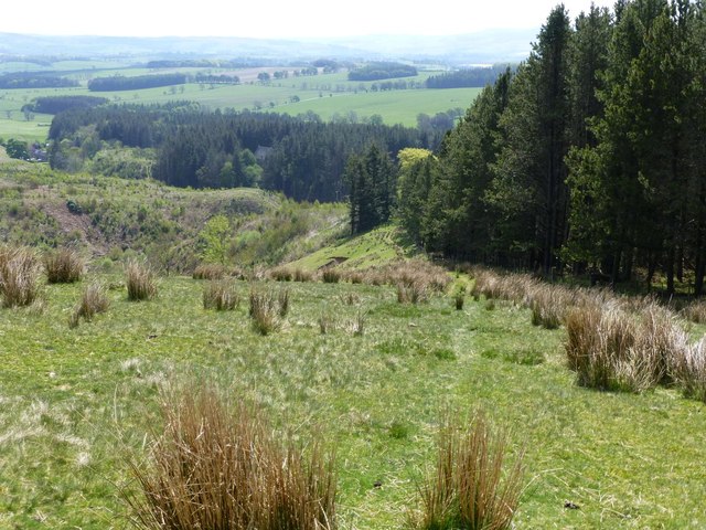
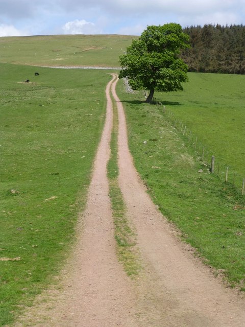
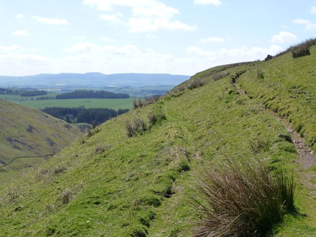
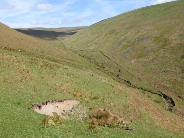
Beech Wood is a picturesque forest located in the county of Northumberland, in the northeast of England. Covering an area of approximately 200 acres, this woodland is known for its dense groves of beech trees, which give it its name. It is situated near the village of Rothbury, nestled in the beautiful landscape of the Northumberland National Park.

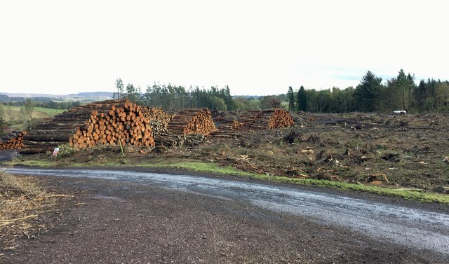
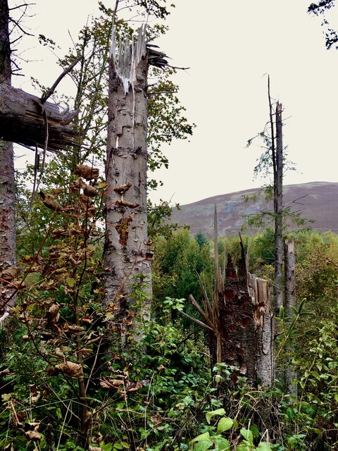
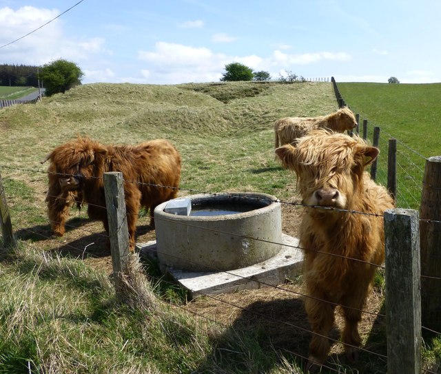
The forest boasts a diverse range of flora and fauna, making it a haven for nature enthusiasts and wildlife lovers. Aside from the beech trees, the woodland is also home to a variety of other tree species, including oak, birch, and ash. These towering trees create a dense canopy, providing shelter for an abundance of bird species, such as woodpeckers, owls, and finches.

Visitors to Beech Wood can enjoy a network of well-maintained walking trails that meander through the forest, offering breathtaking views of the surrounding countryside. The paths vary in length and difficulty, catering to both casual strollers and serious hikers. Along the way, visitors may encounter peaceful streams, vibrant wildflowers, and even small mammals like squirrels and rabbits.

Due to its tranquil setting and natural beauty, Beech Wood has become a popular destination for outdoor activities such as picnicking, birdwatching, and photography. It also provides a peaceful retreat for those seeking solace and a break from the hustle and bustle of everyday life.

Overall, Beech Wood in Northumberland offers a captivating blend of serene surroundings, diverse wildlife, and well-maintained trails, making it a must-visit destination for nature enthusiasts and anyone seeking a peaceful escape in the heart of the English countryside.

If you have any feedback on the listing, please let us know in the comments section below.

Beech Wood Images

Images are sourced within 2km of 55.36545/-2.0823064 or Grid Reference NT9407. Thanks to Geograph Open Source API. All images are credited.

A peek into Harden Quarry The source of red roadstone.  'Harden Red' is a red volcanic felsite.  It is used for cycleways, bus lanes and, famously, for surfacing The Mall.
A peek into Harden Quarry
The source of red roadstone. 'Harden Red' is a red volcanic felsite. It is used for cycleways, bus lanes and, famously, for surfacing The Mall.
"Ill blows the wind that profits nobody" Massive piles of logs like these are scattered all over Northumberland.  Harvesting the forest has often been the only practical way of clearing up after Storm Arwen blew in from the north.  A year on and there are still many areas left to clear.
"Ill blows the wind that profits nobody"
Massive piles of logs like these are scattered all over Northumberland. Harvesting the forest has often been the only practical way of clearing up after Storm Arwen blew in from the north. A year on and there are still many areas left to clear.
The violence of Storm Arwen One can't help but be impressed by the ferocity of a wind that can snap mature tree trunks like a child snaps twigs.
The violence of Storm Arwen
One can't help but be impressed by the ferocity of a wind that can snap mature tree trunks like a child snaps twigs.
Disused Timber Saw This abandoned timber saw has obviously seen better days.
Disused Timber Saw
This abandoned timber saw has obviously seen better days.
Cereal crop on slopes above Clennell Clennell in the valley with the white track used by the logging trucks removing timber from the Kidland Forest.
Cereal crop on slopes above Clennell
Clennell in the valley with the white track used by the logging trucks removing timber from the Kidland Forest.
Highland cattle In an old disused quarry that has been returned to rough pasture.
Highland cattle
In an old disused quarry that has been returned to rough pasture.
The corner of Clennell Wood With sheep on the pasture leading up to Clennell Hill.
The corner of Clennell Wood
With sheep on the pasture leading up to Clennell Hill.
Sheep in pasture  Silverton Hill in the distance.
Sheep in pasture
Silverton Hill in the distance.
Wilkinson Park A well established 21 bed residential care home supporting people with learning disabilities. <span class="nowrap"><a title="http://carelinelifestyles.co.uk/our-homes/wilkinson-park" rel="nofollow ugc noopener" href="http://carelinelifestyles.co.uk/our-homes/wilkinson-park">Link</a><img style="margin-left:2px;" alt="External link" title="External link - shift click to open in new window" src="https://s1.geograph.org.uk/img/external.png" width="10" height="10"/></span>
Wilkinson Park
A well established 21 bed residential care home supporting people with learning disabilities. LinkExternal link
Stable Cottage In the hamlet of Newton.
Stable Cottage
In the hamlet of Newton.
Rookland Farm A sheep farm, judging by the symbol on the gate!
Rookland Farm
A sheep farm, judging by the symbol on the gate!
Public footpath to Newton Across sheep country.
Public footpath to Newton
Across sheep country.
Homestead on Loundon Hill Above Biddlestone.
Homestead on Loundon Hill
Above Biddlestone.
Track to Biddlestone Between the woods and Biddlestone Burn.
Track to Biddlestone
Between the woods and Biddlestone Burn.
Public bridleway to Puncherton Over the hills and far away!  Two and a half miles.
Public bridleway to Puncherton
Over the hills and far away! Two and a half miles.
Looking across Gills Law Towards Wether Cairn.
Bleak in winter!
Looking across Gills Law
Towards Wether Cairn. Bleak in winter!
Sheep tracks make for easier walking Especially across the slope.
Biddlestone Burn is down on the left.
Sheep tracks make for easier walking
Especially across the slope. Biddlestone Burn is down on the left.
Looking up the valley of Biddlestone Burn Cold Law on the right and Gills Law on the left.
Looking up the valley of Biddlestone Burn
Cold Law on the right and Gills Law on the left.
Show me another place!

Beech Wood is located at Grid Ref: NT9407 (Lat: 55.36545, Lng: -2.0823064)

Unitary Authority: Northumberland

Police Authority: Northumbria

What 3 Words

///bloomers.playful.brings. Near Whittingham, Northumberland

Related Wikis

Biddlestone Hall

Biddlestone Hall was a large country house at Biddlestone in Northumberland. == History == The Georgian style mansion was built for the Selby family about...

Biddlestone Chapel

Biddlestone Chapel is a redundant Roman Catholic chapel in Biddlestone, Northumberland, England. It is recorded in the National Heritage List for England...

Biddlestone

Biddlestone is a village and civil parish in Northumberland, England. It is about 14 miles (23 km) to the west of Alnwick. In the early 21st Century several...

Clennell Hall

Clennell Hall is an historic manor house, now operated as a country hotel, situated at Clennell, near Alwinton, Northumberland, England. It is a Grade...

Clennell, Northumberland

Clennell is a small village and as Clennel, a former civil parish, now in the parish of Alwinton, in Northumberland, England. It is about 1 mile (1.6 km...

Alwinton

Alwinton (previously named "Allenton" and sometimes still referred to as this) is a village and former parish in Northumberland, England. Alwinton is named...

River Alwin

The River Alwin is a short, steep upland river that drains the Kidland Forest on the southern flanks of the Cheviot Hills, in the Northumberland National...

Harbottle Castle

Harbottle Castle is a ruined medieval castle situated at the west end of the village of Harbottle, Northumberland, England, 9 miles (14 km) west-north...

Nearby Amenities

Located within 500m of 55.36545,-2.0823064
The data included in this document is from www.openstreetmap.org. The data is made available under ODbL.

Have you been to Beech Wood?

Leave your review of Beech Wood below (or comments, questions and feedback).