Rom Side Wood
Wood, Forest in Yorkshire Craven
England
Rom Side Wood
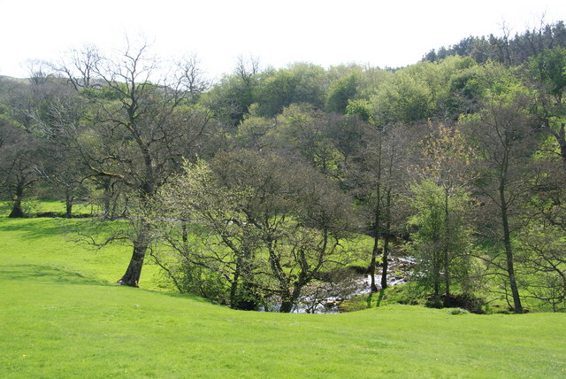
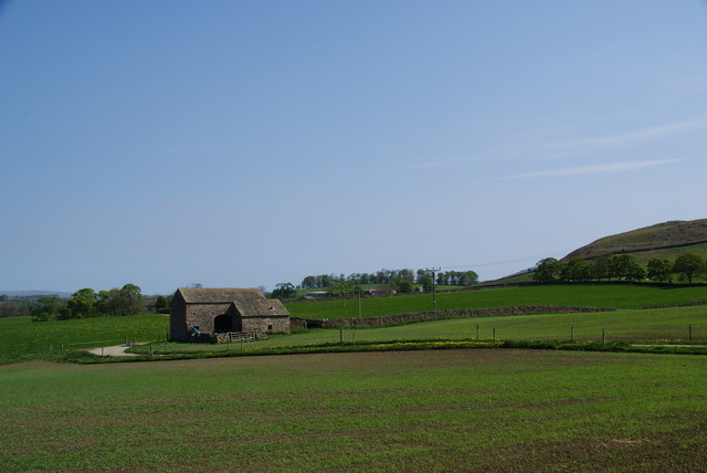
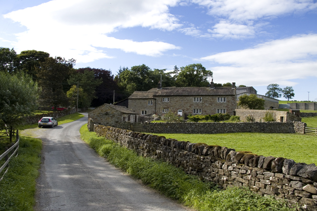
Rom Side Wood is a picturesque forest located in Yorkshire, England. Spread across an area of approximately 100 acres, it is known for its diverse range of wildlife and stunning natural beauty. The forest is situated on the outskirts of the small village of Rom Side, providing a tranquil escape from the bustling city life.
The wood is predominantly composed of deciduous trees, including oak, beech, and birch, which provide a vibrant display of colors during the autumn season. The forest floor is covered with an array of wildflowers, creating a carpet of vibrant hues.
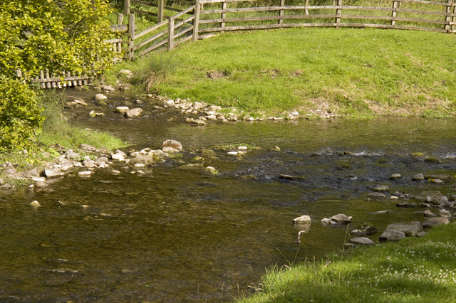
Rom Side Wood is home to a variety of wildlife, making it a popular destination for nature enthusiasts. Visitors may encounter a range of bird species, such as woodpeckers, thrushes, and owls, as well as small mammals, including squirrels and foxes. The forest also supports a rich insect population, with butterflies and dragonflies fluttering amongst the trees.
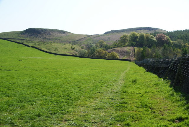
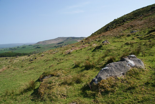
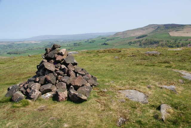
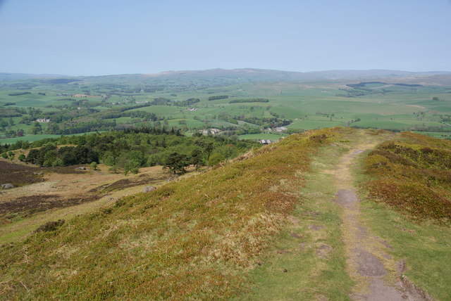
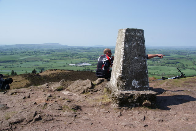
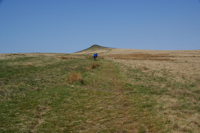
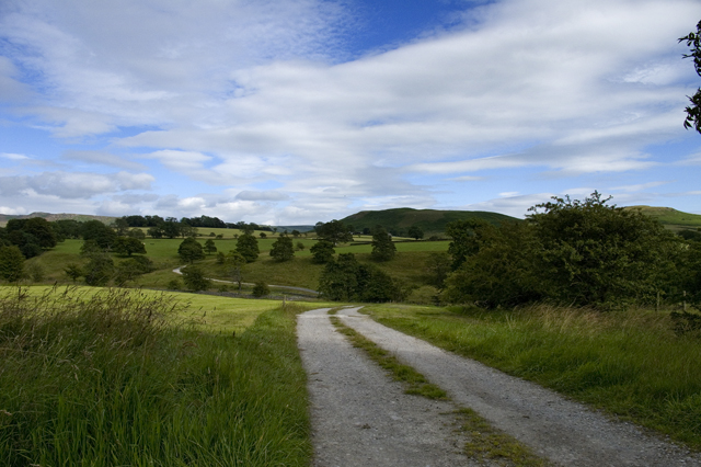
There are several walking trails that wind through the forest, allowing visitors to explore its hidden gems. These trails offer breathtaking views of the surrounding countryside, with occasional glimpses of the nearby River Swale. Additionally, there are designated picnic areas and benches dotted throughout the wood, providing opportunities for visitors to relax and enjoy the peaceful ambiance.
Rom Side Wood is a cherished natural gem in Yorkshire, offering a serene environment for outdoor activities, wildlife observation, and appreciating the beauty of nature.
If you have any feedback on the listing, please let us know in the comments section below.
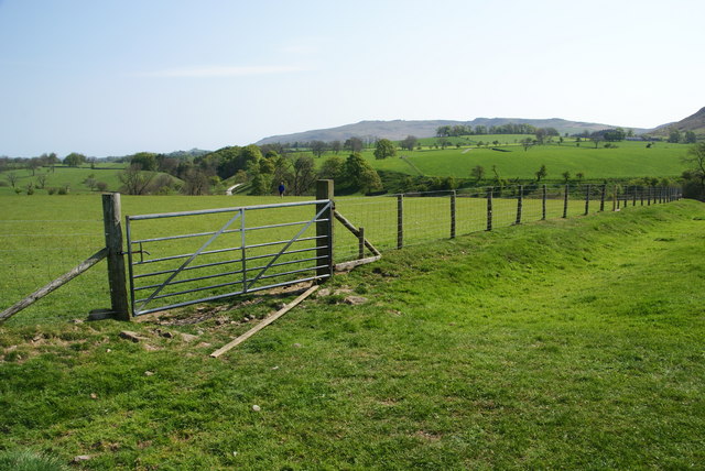
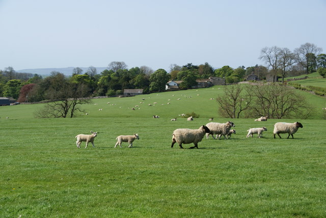
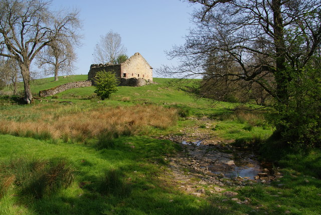
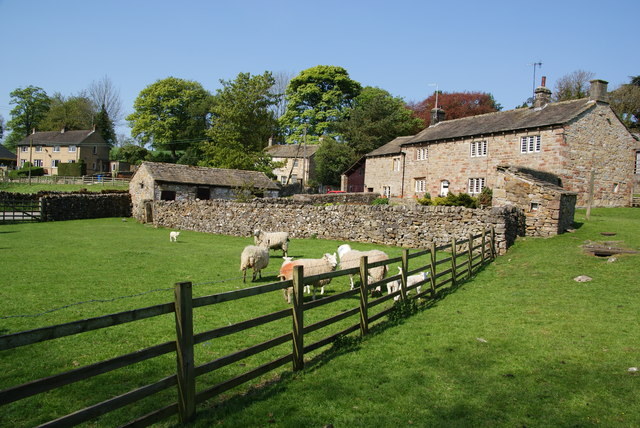
Rom Side Wood Images
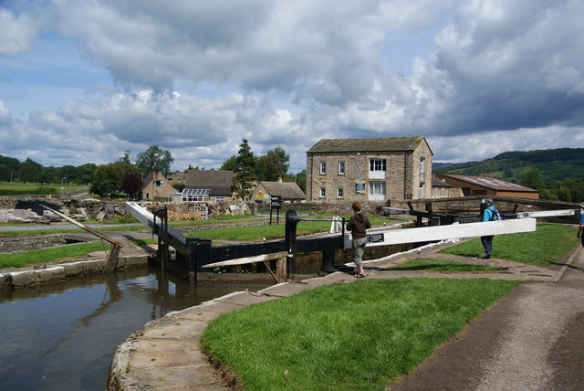
Images are sourced within 2km of 53.994747/-2.0798912 or Grid Reference SD9455. Thanks to Geograph Open Source API. All images are credited.

Rom Side Wood is located at Grid Ref: SD9455 (Lat: 53.994747, Lng: -2.0798912)
Division: West Riding
Administrative County: North Yorkshire
District: Craven
Police Authority: North Yorkshire
What 3 Words
///calendars.feuds.doing. Near Gargrave, North Yorkshire
Related Wikis
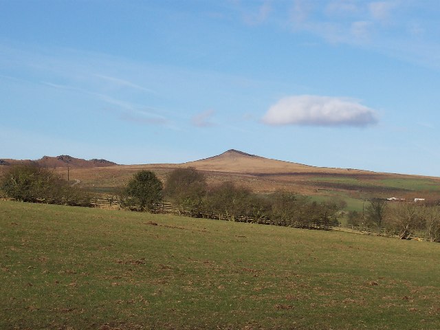
Sharp Haw
Sharp Haw is a hill on the southern edge of the Yorkshire Dales, located just within the National Park. Being the last outpost of the hills before the...

Flasby
Flasby is a hamlet in the Yorkshire Dales in North Yorkshire, England. It is one of the two settlements, with Winterburn, in the civil parish of Flasby...

Eshton
Eshton is a small village and civil parish in the Craven district of North Yorkshire, England. At the 2011 Census the population was less than 100 and...

Gargrave
Gargrave is a large village and civil parish in the Craven district located along the A65, 4 miles (6 km) north-west of Skipton in North Yorkshire, England...
Nearby Amenities
Located within 500m of 53.994747,-2.0798912Have you been to Rom Side Wood?
Leave your review of Rom Side Wood below (or comments, questions and feedback).