Cross Street

Settlement in Suffolk Mid Suffolk

England

Cross Street

Driveway to Park Farm
Driveway to Park Farm Credit: Jeff Tomlinson

Cross Street is a quaint and historic thoroughfare located in the county of Suffolk, England. It is nestled in the heart of the charming market town of Bury St Edmunds, renowned for its rich heritage and picturesque setting.

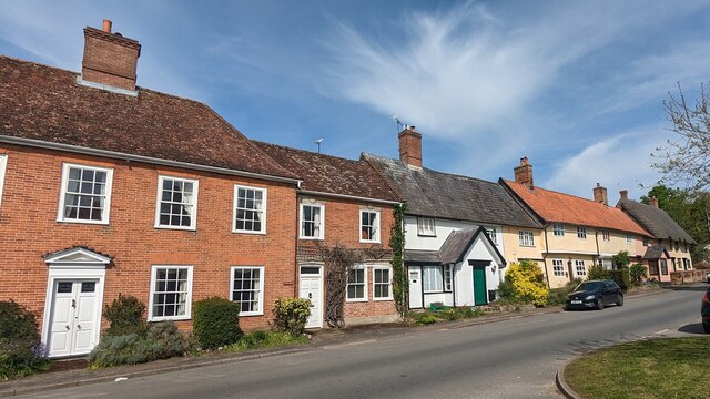
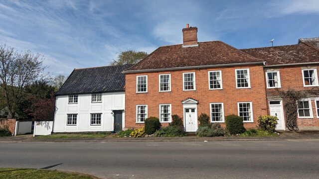
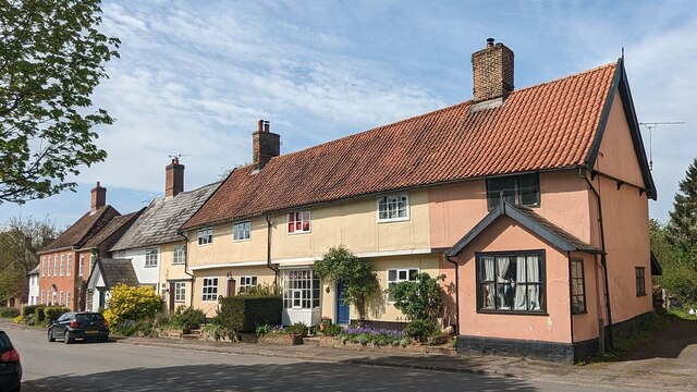
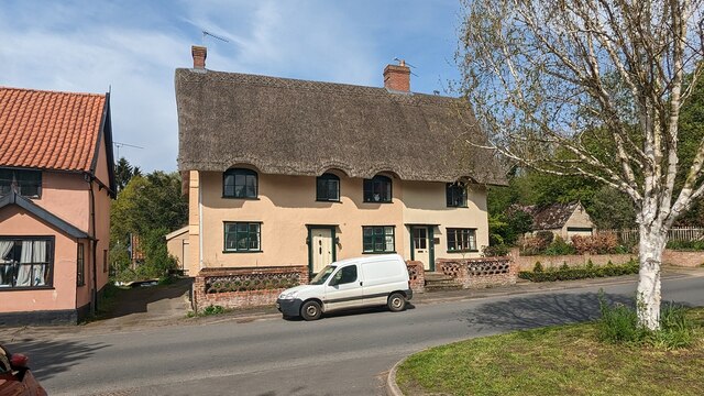
Spanning a length of approximately 200 meters, Cross Street is a bustling hub of activity, lined with a variety of architectural styles that reflect its long history. The street is predominantly composed of Georgian and Victorian buildings, exhibiting beautiful facades and intricate detailing. These structures house a diverse array of businesses, including independent boutiques, art galleries, antique shops, and cozy cafes, catering to the needs and interests of both locals and tourists.

As its name suggests, Cross Street intersects with other important passageways, most notably Abbeygate Street, which leads to the iconic Bury St Edmunds Abbey ruins. This proximity to historical landmarks makes Cross Street a popular destination for those seeking a taste of the town's cultural heritage.

Despite its compact size, the street exudes a warm and welcoming atmosphere, with a strong sense of community evident in the friendly interactions between residents and visitors. The regular street markets held in Cross Street further enhance its appeal, offering a wide range of local produce, crafts, and delicacies.

Overall, Cross Street, Suffolk is a vibrant and charming destination that seamlessly blends the old with the new. Its historical significance, architectural beauty, and bustling commercial activity make it an integral part of Bury St Edmunds' cultural tapestry.

If you have any feedback on the listing, please let us know in the comments section below.
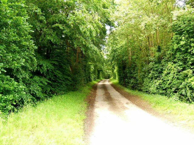
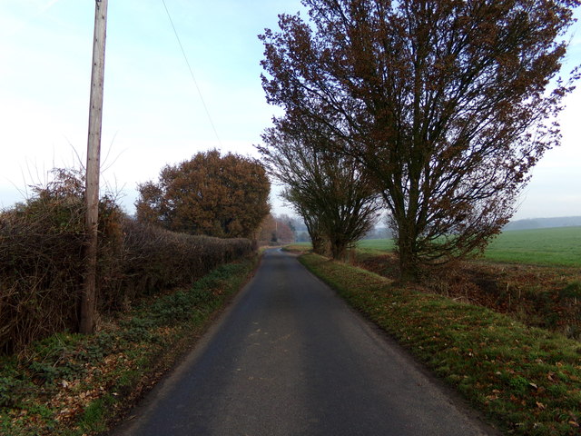
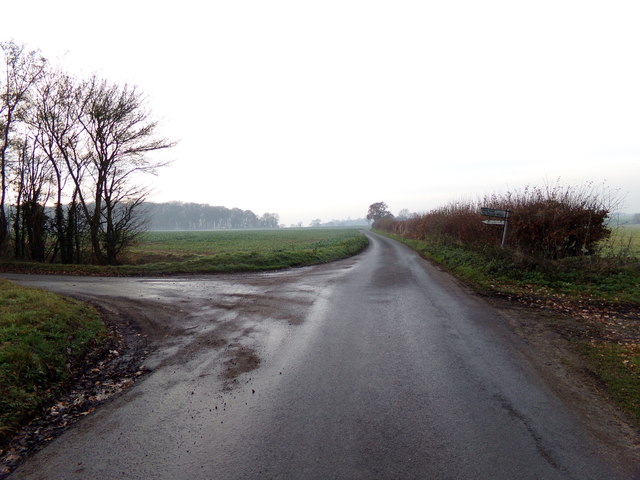
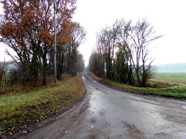
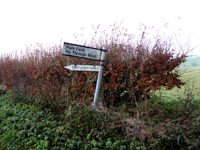
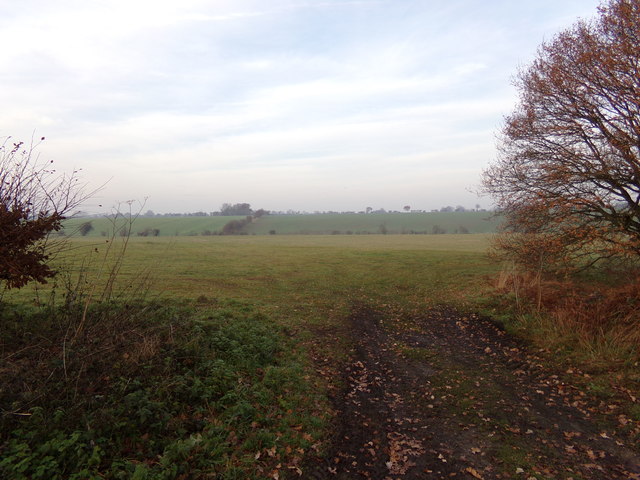
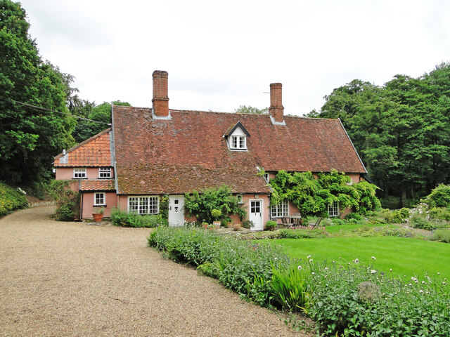
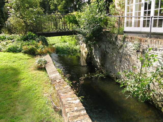
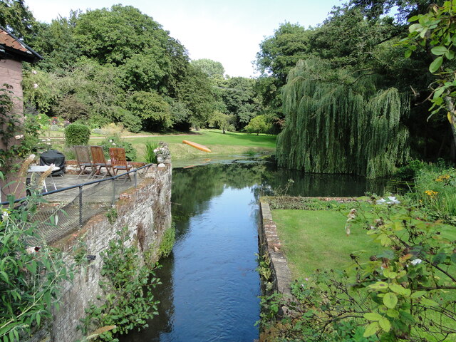
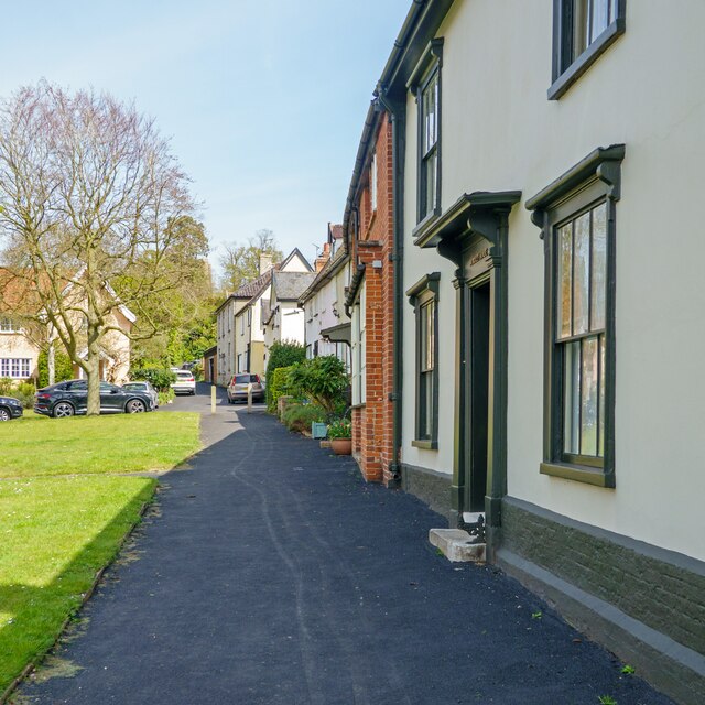
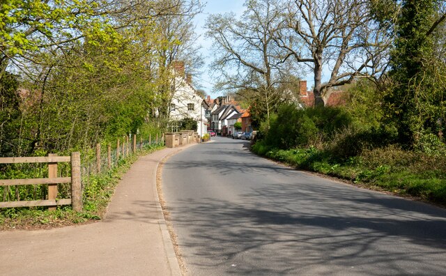
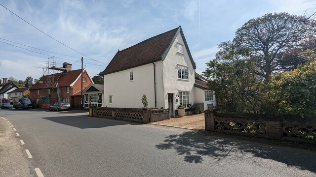
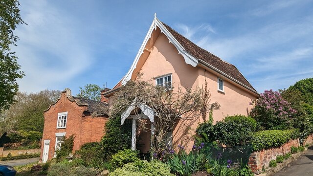
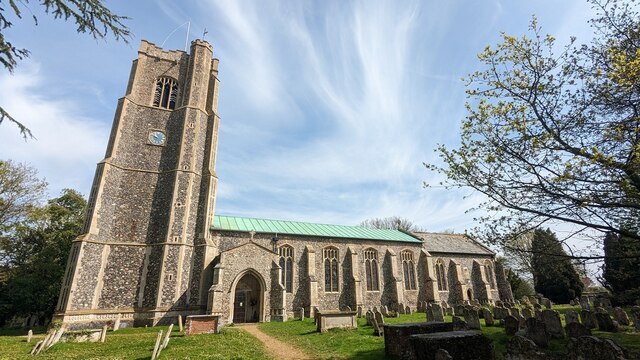
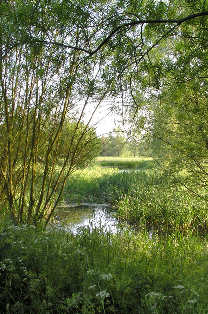
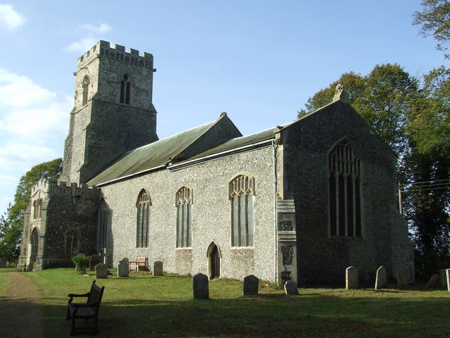
Cross Street Images

Images are sourced within 2km of 52.341327/1.201056 or Grid Reference TM1876. Thanks to Geograph Open Source API. All images are credited.

Driveway to Park Farm
Chickering Road, Chickering Approaching Chickering Bridge at the entrance to Park Farm
Chickering Road, Chickering
Approaching Chickering Bridge at the entrance to Park Farm
Chickering Road, Chickering At the junction with Park Farm Lane
Chickering Road, Chickering
At the junction with Park Farm Lane
Park Farm Lane, Chickering At the junction with Chickering Road
Park Farm Lane, Chickering
At the junction with Chickering Road
Signpost on Chickering Road At the junction with Park Farm Lane
Signpost on Chickering Road
At the junction with Park Farm Lane
Field Entrance off Chickering Road At the junction with Park Farm Lane
Field Entrance off Chickering Road
At the junction with Park Farm Lane
The old watermill at Oakley The mill which stands on the River Dove, a tributary of the Waveney, had an undershot wheel roughly six feet wide and probably ceased to operate in the early 1800s. In the early 1830s the wheel was removed and part of the building was converted into a laundry. The river which is to the right of the building, is not fast flowing and has much vegetation in places upstream. The tail-race and millpond are however relatively clear with a small weir a short distance downstream. Access was granted by the kind permission of the owner.
<a href="https://www.geograph.org.uk/photo/6942267">TM1776 : The mill-race at Oakley old mill</a>
<a href="https://www.geograph.org.uk/photo/6942273">TM1776 : Oakley old watermill tail-race and millpond</a>
The old watermill at Oakley
The mill which stands on the River Dove, a tributary of the Waveney, had an undershot wheel roughly six feet wide and probably ceased to operate in the early 1800s. In the early 1830s the wheel was removed and part of the building was converted into a laundry. The river which is to the right of the building, is not fast flowing and has much vegetation in places upstream. The tail-race and millpond are however relatively clear with a small weir a short distance downstream. Access was granted by the kind permission of the owner. TM1776 : The mill-race at Oakley old mill TM1776 : Oakley old watermill tail-race and millpond
The mill-race at Oakley old mill The mill which stands on the River Dove, a tributary of the Waveney, had an undershot wheel roughly six feet wide and probably ceased to operate in the early 1800s. In the early 1830s the wheel was removed and part of the building was converted into a laundry. The river which is to the right of the building, is not fast flowing and has much vegetation in places upstream. The tail-race and millpond are however relatively clear with a small weir a short distance downstream. Access was granted by the kind permission of the owner.
<a href="https://www.geograph.org.uk/photo/6942263">TM1776 : The old watermill at Oakley</a>
The mill-race at Oakley old mill
The mill which stands on the River Dove, a tributary of the Waveney, had an undershot wheel roughly six feet wide and probably ceased to operate in the early 1800s. In the early 1830s the wheel was removed and part of the building was converted into a laundry. The river which is to the right of the building, is not fast flowing and has much vegetation in places upstream. The tail-race and millpond are however relatively clear with a small weir a short distance downstream. Access was granted by the kind permission of the owner. TM1776 : The old watermill at Oakley
Oakley old watermill tail-race and millpond Taken from the bridge over the former location of the undershot water-wheel showing the tail-race and millpond.
The mill which stands on the River Dove, a tributary of the Waveney, had an undershot wheel roughly six feet wide and probably ceased to operate in the early 1800s. In the early 1830s the wheel was removed and part of the building was converted into a laundry. The river which is to the right of the building, is not fast flowing and has much vegetation in places upstream. The tail-race and millpond are however relatively clear with a small weir a short distance downstream. Access was granted by the kind permission of the owner.
<a href="https://www.geograph.org.uk/photo/6942263">TM1776 : The old watermill at Oakley</a>
Oakley old watermill tail-race and millpond
Taken from the bridge over the former location of the undershot water-wheel showing the tail-race and millpond. The mill which stands on the River Dove, a tributary of the Waveney, had an undershot wheel roughly six feet wide and probably ceased to operate in the early 1800s. In the early 1830s the wheel was removed and part of the building was converted into a laundry. The river which is to the right of the building, is not fast flowing and has much vegetation in places upstream. The tail-race and millpond are however relatively clear with a small weir a short distance downstream. Access was granted by the kind permission of the owner. TM1776 : The old watermill at Oakley
Housing along the green at Low Street, Hoxne <span class="nowrap"><a title="https://en.wikipedia.org/wiki/Hoxne" rel="nofollow ugc noopener" href="https://en.wikipedia.org/wiki/Hoxne">Link</a><img style="margin-left:2px;" alt="External link" title="External link - shift click to open in new window" src="https://s1.geograph.org.uk/img/external.png" width="10" height="10"/></span>
Housing along the green at Low Street, Hoxne
Looking to Hoxne The road crosses the Gold Brook before entering the main part of the village.
Looking to Hoxne
The road crosses the Gold Brook before entering the main part of the village.
Bridge House and Bridge Cottage, Hoxne <span class="nowrap"><a title="https://historicengland.org.uk/listing/the-list/list-entry/1032479?section=official-list-entry" rel="nofollow ugc noopener" href="https://historicengland.org.uk/listing/the-list/list-entry/1032479?section=official-list-entry">Link</a><img style="margin-left:2px;" alt="External link" title="External link - shift click to open in new window" src="https://s1.geograph.org.uk/img/external.png" width="10" height="10"/></span>
Bridge House and Bridge Cottage, Hoxne
Pilgrim, Aldersyde and Beech Cottages, Hoxne <span class="nowrap"><a title="https://historicengland.org.uk/listing/the-list/list-entry/1284987?section=official-list-entry" rel="nofollow ugc noopener" href="https://historicengland.org.uk/listing/the-list/list-entry/1284987?section=official-list-entry">Link</a><img style="margin-left:2px;" alt="External link" title="External link - shift click to open in new window" src="https://s1.geograph.org.uk/img/external.png" width="10" height="10"/></span> and <span class="nowrap"><a title="https://historicengland.org.uk/listing/the-list/list-entry/1352374?section=official-list-entry" rel="nofollow ugc noopener" href="https://historicengland.org.uk/listing/the-list/list-entry/1352374?section=official-list-entry">Link</a><img style="margin-left:2px;" alt="External link" title="External link - shift click to open in new window" src="https://s1.geograph.org.uk/img/external.png" width="10" height="10"/></span>
Pilgrim, Aldersyde and Beech Cottages, Hoxne
LinkExternal link and LinkExternal link
Red House and Red House Cottage <span class="nowrap"><a title="https://historicengland.org.uk/listing/the-list/list-entry/1032518?section=official-list-entry" rel="nofollow ugc noopener" href="https://historicengland.org.uk/listing/the-list/list-entry/1032518?section=official-list-entry">Link</a><img style="margin-left:2px;" alt="External link" title="External link - shift click to open in new window" src="https://s1.geograph.org.uk/img/external.png" width="10" height="10"/></span> and <span class="nowrap"><a title="https://historicengland.org.uk/listing/the-list/list-entry/1181457?section=official-list-entry" rel="nofollow ugc noopener" href="https://historicengland.org.uk/listing/the-list/list-entry/1181457?section=official-list-entry">Link</a><img style="margin-left:2px;" alt="External link" title="External link - shift click to open in new window" src="https://s1.geograph.org.uk/img/external.png" width="10" height="10"/></span>
Red House and Red House Cottage
LinkExternal link and LinkExternal link
Pilgrim, Aldersyde and Beech Cottages, Hoxne <span class="nowrap"><a title="https://historicengland.org.uk/listing/the-list/list-entry/1284987?section=official-list-entry" rel="nofollow ugc noopener" href="https://historicengland.org.uk/listing/the-list/list-entry/1284987?section=official-list-entry">Link</a><img style="margin-left:2px;" alt="External link" title="External link - shift click to open in new window" src="https://s1.geograph.org.uk/img/external.png" width="10" height="10"/></span> and <span class="nowrap"><a title="https://historicengland.org.uk/listing/the-list/list-entry/1352374?section=official-list-entry" rel="nofollow ugc noopener" href="https://historicengland.org.uk/listing/the-list/list-entry/1352374?section=official-list-entry">Link</a><img style="margin-left:2px;" alt="External link" title="External link - shift click to open in new window" src="https://s1.geograph.org.uk/img/external.png" width="10" height="10"/></span>
Pilgrim, Aldersyde and Beech Cottages, Hoxne
LinkExternal link and LinkExternal link
53 and 54 Low Street, Hoxne <span class="nowrap"><a title="https://historicengland.org.uk/listing/the-list/list-entry/1032517?section=official-list-entry" rel="nofollow ugc noopener" href="https://historicengland.org.uk/listing/the-list/list-entry/1032517?section=official-list-entry">Link</a><img style="margin-left:2px;" alt="External link" title="External link - shift click to open in new window" src="https://s1.geograph.org.uk/img/external.png" width="10" height="10"/></span>
53 and 54 Low Street, Hoxne
41 Low Street, Hoxne <span class="nowrap"><a title="https://historicengland.org.uk/listing/the-list/list-entry/1032480?section=official-list-entry" rel="nofollow ugc noopener" href="https://historicengland.org.uk/listing/the-list/list-entry/1032480?section=official-list-entry">Link</a><img style="margin-left:2px;" alt="External link" title="External link - shift click to open in new window" src="https://s1.geograph.org.uk/img/external.png" width="10" height="10"/></span>
41 Low Street, Hoxne
Church of Saints Peter and Paul, Hoxne <span class="nowrap"><a title="https://historicengland.org.uk/listing/the-list/list-entry/1032509?section=official-list-entry" rel="nofollow ugc noopener" href="https://historicengland.org.uk/listing/the-list/list-entry/1032509?section=official-list-entry">Link</a><img style="margin-left:2px;" alt="External link" title="External link - shift click to open in new window" src="https://s1.geograph.org.uk/img/external.png" width="10" height="10"/></span>
Church of Saints Peter and Paul, Hoxne
Show me another place!

Cross Street is located at Grid Ref: TM1876 (Lat: 52.341327, Lng: 1.201056)

Administrative County: Suffolk

District: Mid Suffolk

Police Authority: Suffolk

What 3 Words

///stews.bibs.reputable. Near Scole, Norfolk

Nearby Locations

Cross Street Hoxne

Related Wikis

Hoxne Priory

Hoxne Priory was a Benedictine priory at Hoxne in Suffolk, England. It was founded as a religious house around the year 950, with a chapel at the supposed...

St Edmund's Memorial, Hoxne

St Edmund's Memorial, Hoxne is a memorial which claims to mark the spot where St Edmund was killed by the Vikings in the Suffolk village of Hoxne. The...

Hoxne Brick Pit

Hoxne Brick Pit is a 1.3-hectare (3.2-acre) geological Site of Special Scientific Interest in Hoxne in Suffolk, England. It is a Geological Conservation...

Hoxne Hoard

The Hoxne Hoard ( HOK-sən) is the largest hoard of late Roman silver and gold discovered in Britain, and the largest collection of gold and silver coins...

Hoxne

Hoxne ( HOK-sən) is a village in the Mid Suffolk district of Suffolk, England, about five miles (8 km) east-southeast of Diss, Norfolk and 1⁄2 mile (800...

Hoxne manor

Hoxne manor is an estate in Hoxne, Suffolk, England. It was originally a manor house belonging to East Anglian bishops. However following the dissolution...

River Dove, Suffolk

The River Dove is a river in the county of Suffolk. It is a tributary of the River Waveney starting near Bacton going through Eye to the Waveney. ��2...

Oakley, Suffolk

Oakley is a village and former civil parish in the Mid Suffolk district, in the north of the English county of Suffolk. It lies immediately to the south...

Nearby Amenities

Located within 500m of 52.341327,1.201056
Bus Stop
Nuttery Vale
Naptan AtcoCode: 390040149
Naptan Bearing: NW
Naptan CommonName: Nuttery Vale
Naptan Indicator: adj
Naptan Landmark: Nuttery Vale
Naptan NaptanCode: sufawdjg
Naptan Street: Cross Street
Naptan Verified: no
Source: naptan_import
Lat/Long: 52.3405355/1.2041627
Bus Stop
Nuttery Vale
Naptan AtcoCode: 390040150
Naptan Bearing: SE
Naptan BusStopType: CUS
Naptan CommonName: Nuttery Vale
Naptan Indicator: opp
Naptan Landmark: Nuttery Vale
Naptan NaptanCode: sufawdjm
Naptan Street: Cross Street
Naptan Verified: no
Source: naptan_import
Lat/Long: 52.3405764/1.2043125
Saint Edmund's Monument
Historic: memorial
Inscription: Saint Edmund the Martyr AD 870 Oak Tree Fell Aug. 1843, by it's own weight.
Wikidata: Q60219179
Lat/Long: 52.3448433/1.2035396
Hoxne Heritage Walk 8
Designation: Board 8 - St Edmund's Cross
Source: http://www.hoxnehistory.org.uk/HHW%20Board%208.pdf
Tourism: information
Lat/Long: 52.344745/1.2022571
Barrier: stile
Lat/Long: 52.3415848/1.1954703
Shelter
Man Made: water_well
Lat/Long: 52.34048/1.2041561
Post Box
Collection Times: Mo-Fr 17:00; Sa 08:30
Operator: Royal Mail
Post Box Mounting: brick_pillar
Post Box Type: wall
Ref: IP21 7036
Royal Cypher: GVIR
Royal Cypher Wikidata: Q33102169
Source: survey
Lat/Long: 52.3405586/1.2041151
Note: Earthwork, mound of a windmill.
Lat/Long: 52.340254/1.1974883
The data included in this document is from www.openstreetmap.org. The data is made available under ODbL.

Have you been to Cross Street?

Leave your review of Cross Street below (or comments, questions and feedback).