Cross Town
Settlement in Cheshire
England
Cross Town
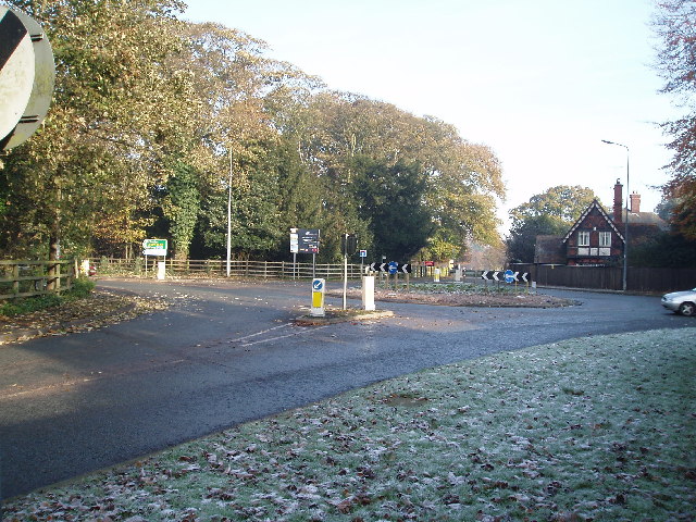
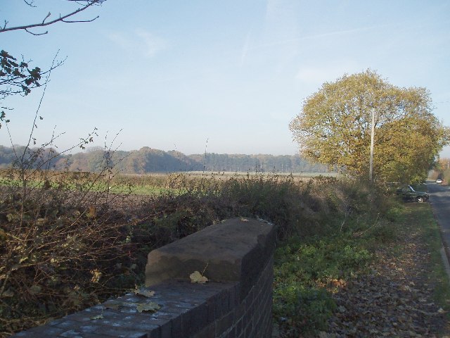
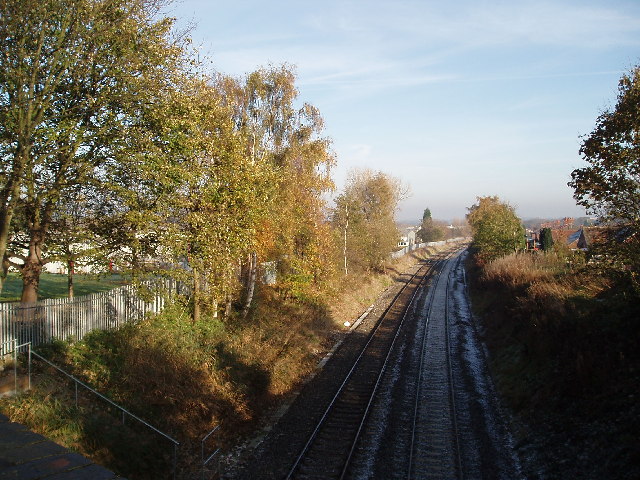
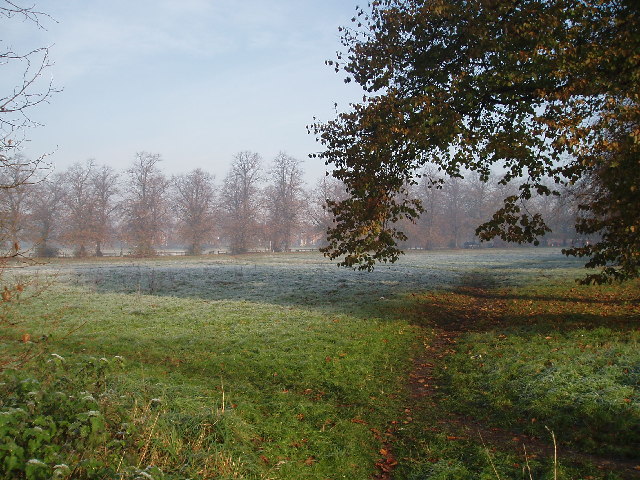
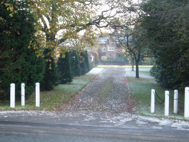
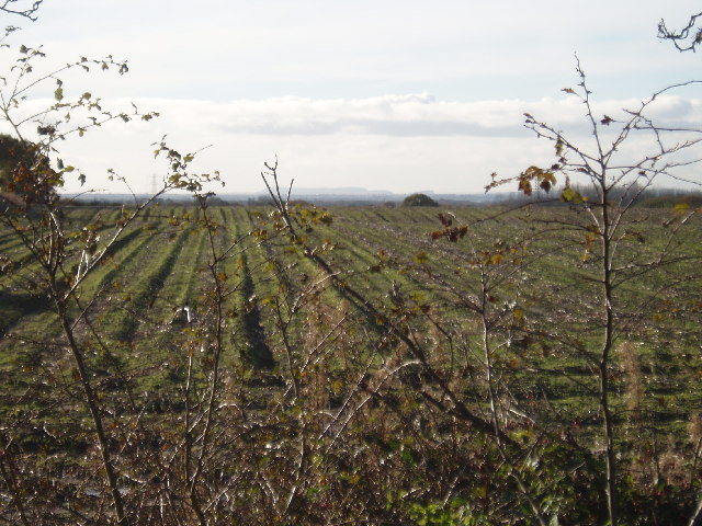
Cross Town is a small village located in the county of Cheshire, England. Situated approximately 8 miles south of the city of Chester, it falls under the local government district of Cheshire West and Chester. The village is nestled within the picturesque Cheshire countryside, surrounded by rolling hills and farmland.
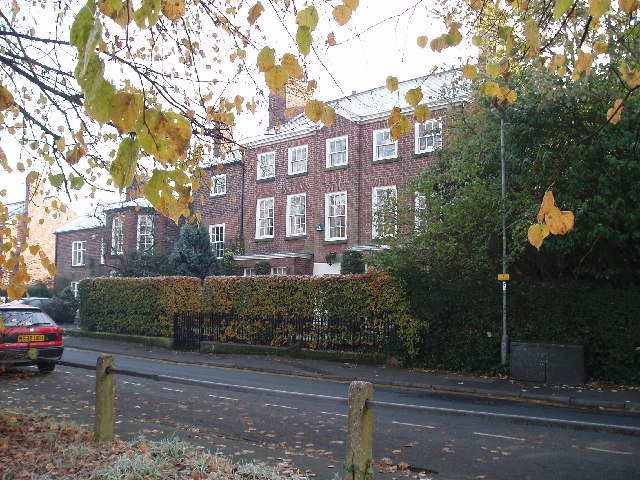
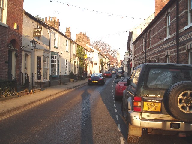
With a population of around 500 residents, Cross Town exudes a tranquil and close-knit community atmosphere. The village primarily consists of residential properties, ranging from traditional cottages to more modern houses. The architectural style is reflective of the region, featuring a mix of historic and contemporary designs.
Despite its small size, Cross Town benefits from a range of amenities to cater to the needs of its residents. The village boasts a local shop, providing essentials and day-to-day supplies. Additionally, there is a charming village pub, serving as a focal point for social gatherings and a place for locals to unwind.
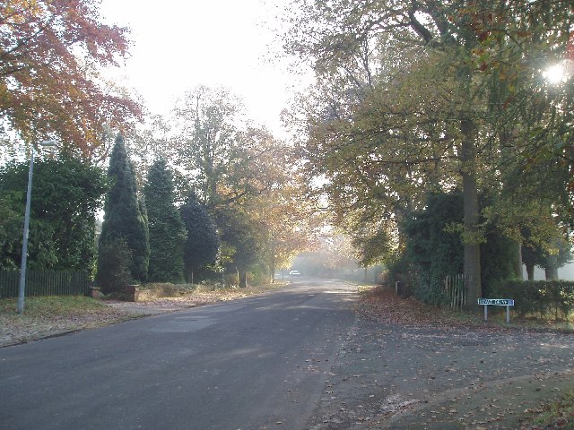
The surrounding countryside offers abundant opportunities for outdoor activities, with numerous footpaths and bridleways to explore. The area is known for its natural beauty, with scenic views and wildlife, making it an ideal location for hiking, cycling, and horse riding enthusiasts.
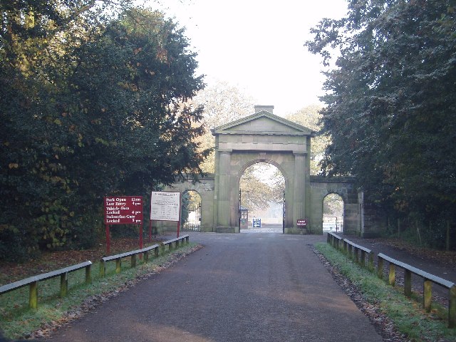
For those seeking a taste of urban life, the vibrant city of Chester is easily accessible from Cross Town. Renowned for its rich history and stunning architecture, Chester offers a wide range of amenities, including shopping centers, restaurants, and cultural attractions.
In summary, Cross Town is a quaint village in Cheshire, offering a peaceful and tight-knit community. With its beautiful surroundings and proximity to Chester, it provides residents with a balance of rural charm and access to urban amenities.
If you have any feedback on the listing, please let us know in the comments section below.
Cross Town Images
Images are sourced within 2km of 53.304317/-2.364324 or Grid Reference SJ7578. Thanks to Geograph Open Source API. All images are credited.


Cross Town is located at Grid Ref: SJ7578 (Lat: 53.304317, Lng: -2.364324)
Unitary Authority: Cheshire East
Police Authority: Cheshire
What 3 Words
///strikers.redouble.demotion. Near Knutsford, Cheshire
Nearby Locations
Related Wikis
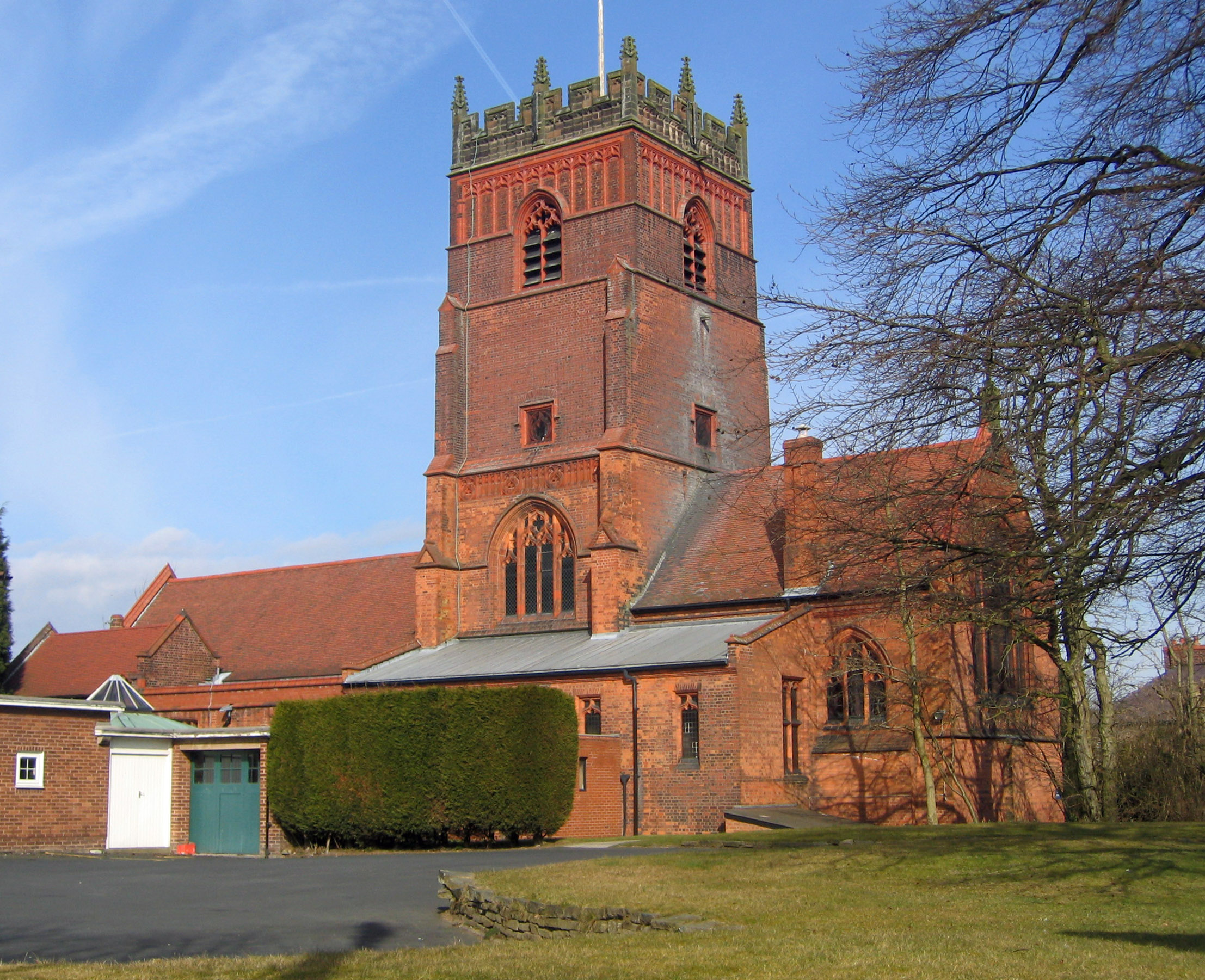
St Cross Church, Knutsford
St Cross Church is in the town of Knutsford, Cheshire, England. It is recorded in the National Heritage List for England as a designated Grade II* listed...

Knutsford
Knutsford () is a market town in Cheshire, England; it is located 14 miles (23 km) south-west of Manchester, 9 miles (14 km) north-west of Macclesfield...

Knutsford War Memorial Cottage Hospital
Knutsford War Memorial Cottage Hospital is a former hospital in Knutsford, Cheshire. It was designed by architect Sir Percy Worthington and opened in 1922...
Brook Street Chapel, Knutsford
Brook Street Chapel, is in the town of Knutsford, Cheshire, England. It is recorded in the National Heritage List for England as a designated Grade I...
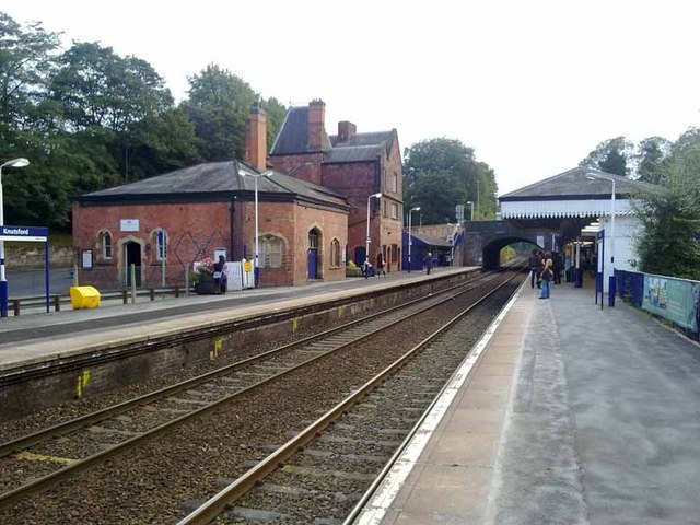
Knutsford railway station
Knutsford railway station serves the town of Knutsford in Cheshire, England. The station is 21+3⁄4 miles (35.0 km) south of Manchester Piccadilly on the...

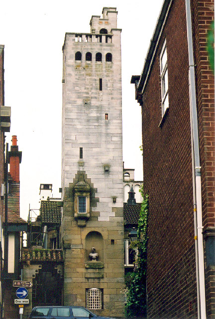
Gaskell Memorial Tower and King's Coffee House
The Gaskell Memorial Tower and King's Coffee House are in King Street, Knutsford, Cheshire, England. As originally built, it had the triple function of...
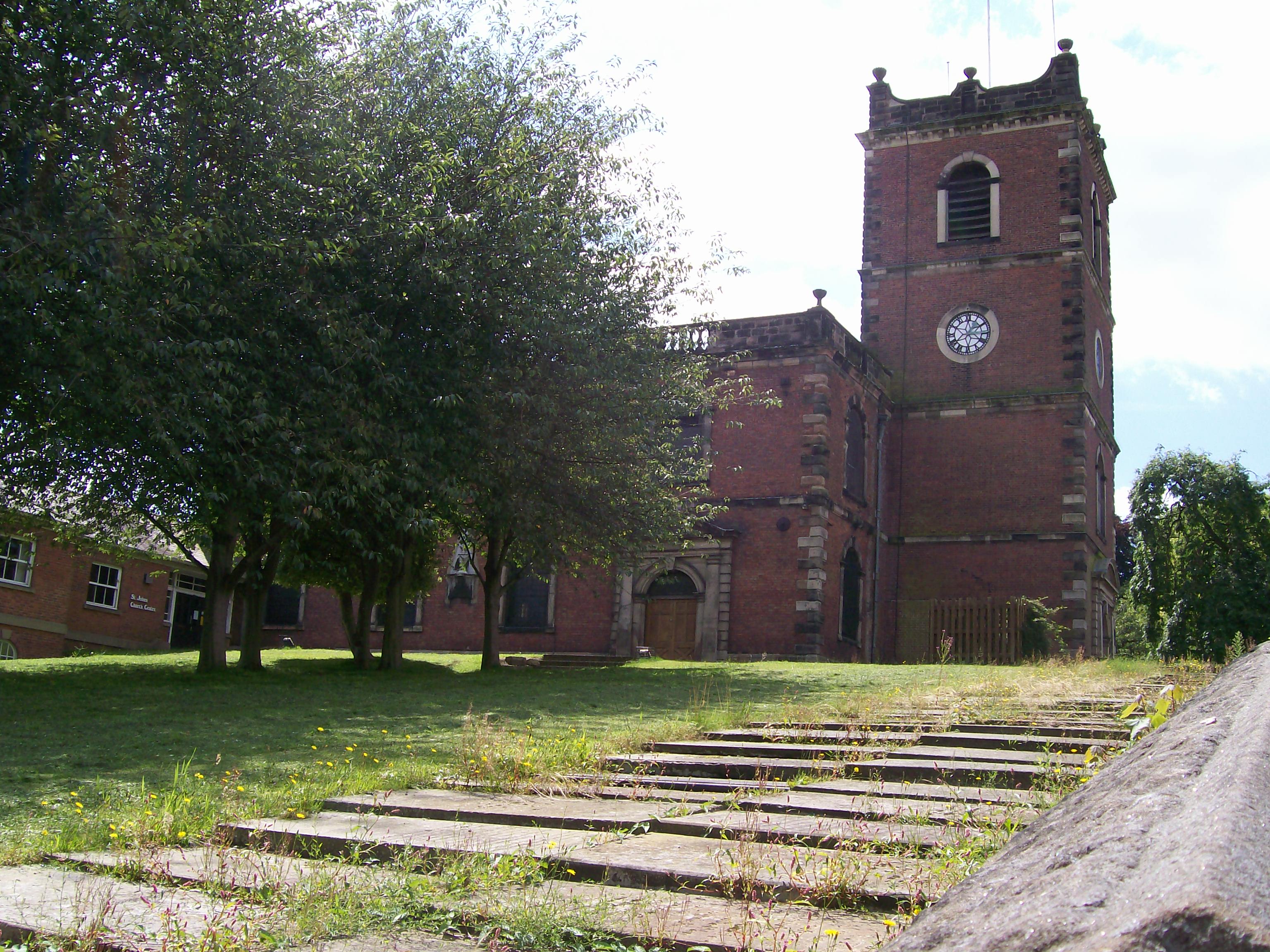
St John the Baptist's Church, Knutsford
St John the Baptist's Church is in the town of Knutsford, Cheshire, England. The church is recorded in the National Heritage List for England as a designated...
Knutsford Town Hall
Knutsford Town Hall is a former municipal building in Princess Street, Knutsford, Cheshire, England. The structure, which for a long time was used as an...
Nearby Amenities
Located within 500m of 53.304317,-2.364324Have you been to Cross Town?
Leave your review of Cross Town below (or comments, questions and feedback).