Copy Hill Plantation
Wood, Forest in Yorkshire Craven
England
Copy Hill Plantation
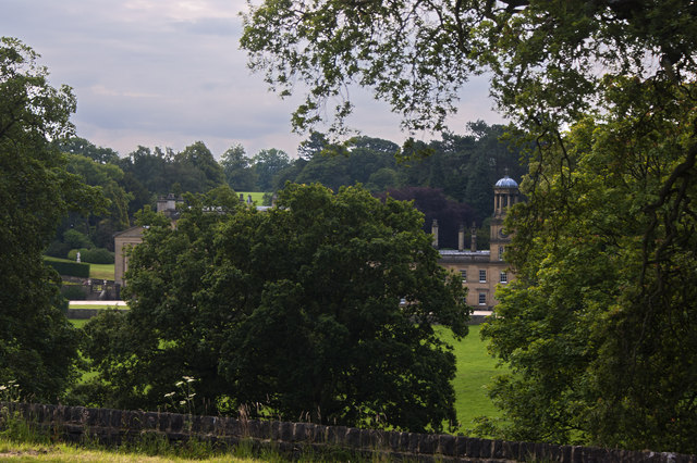
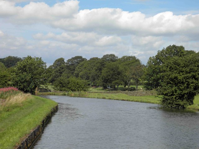
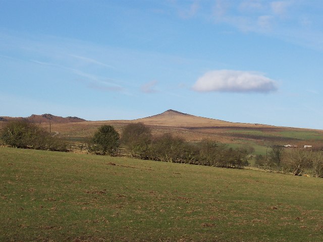
Copy Hill Plantation is a picturesque woodland located in Yorkshire, England. Situated on the edge of the sprawling Yorkshire Dales, this enchanting forest covers an area of approximately 200 acres, making it a significant natural landmark in the region. The plantation is named after the prominent Copy Hill, a small hill within its boundaries that offers stunning views of the surrounding countryside.
The woodland is predominantly composed of native tree species such as oak, beech, and birch, creating a diverse and vibrant ecosystem. These trees provide a rich habitat for a wide variety of wildlife, including deer, foxes, badgers, and numerous bird species. The plantation is also home to a number of rare and endangered plant species, making it an important conservation area.
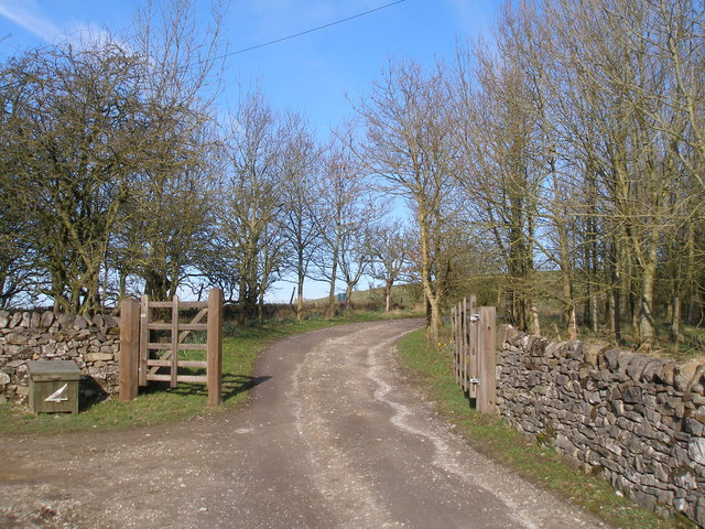
Copy Hill Plantation attracts nature enthusiasts, hikers, and photographers who are drawn to its serene beauty. There are well-maintained walking trails that wind through the forest, allowing visitors to explore the area at their own pace. These paths lead to hidden clearings and tranquil spots, providing ample opportunities for quiet reflection and wildlife observation.
The plantation is managed by a dedicated team of conservationists who work tirelessly to preserve its natural beauty and protect its delicate ecosystem. They conduct regular surveys and studies to monitor the health of the forest and implement sustainable practices to ensure its long-term sustainability.
In conclusion, Copy Hill Plantation is a captivating woodland in Yorkshire, offering a haven of tranquility and biodiversity. Its stunning landscapes, rich wildlife, and well-maintained trails make it a beloved destination for nature lovers and outdoor enthusiasts alike.
If you have any feedback on the listing, please let us know in the comments section below.
Copy Hill Plantation Images
Images are sourced within 2km of 53.968906/-2.0826007 or Grid Reference SD9452. Thanks to Geograph Open Source API. All images are credited.


Copy Hill Plantation is located at Grid Ref: SD9452 (Lat: 53.968906, Lng: -2.0826007)
Division: West Riding
Administrative County: North Yorkshire
District: Craven
Police Authority: North Yorkshire
What 3 Words
///issuer.spoiler.frostbite. Near Gargrave, North Yorkshire
Nearby Locations
Related Wikis

Stirton with Thorlby
Stirton with Thorlby is a civil parish in the Craven district of North Yorkshire, England. The parish includes the settlements of Stirton and Thorlby....

Broughton, Craven
Broughton is a village and civil parish in the Craven district of North Yorkshire, England. The village is on the A59 road approximately 3 miles (5 km...

Gargrave railway station
Gargrave is a railway station on the Bentham Line, which runs between Leeds and Morecambe via Skipton. The station, situated 30 miles (48 km) north-west...

Fresh Radio
Fresh Radio was an Independent Local Radio station broadcasting to the Yorkshire Dales in northern England on two medium wave (AM) frequencies and three...

Eshton
Eshton is a small village and civil parish in the Craven district of North Yorkshire, England. At the 2011 Census the population was less than 100 and...
Moor Music Festival
The Moor Music Festival was an annual music festival held initially on a farm in Addingham Moorside, near the town of Ilkley, West Yorkshire. For the 2009...

Gargrave
Gargrave is a large village and civil parish in the Craven district located along the A65, 4 miles (6 km) north-west of Skipton in North Yorkshire, England...
Sharp Haw
Sharp Haw is a hill on the southern edge of the Yorkshire Dales, located just within the National Park. Being the last outpost of the hills before the...
Nearby Amenities
Located within 500m of 53.968906,-2.0826007Have you been to Copy Hill Plantation?
Leave your review of Copy Hill Plantation below (or comments, questions and feedback).