Babbs Covert
Wood, Forest in Staffordshire Stafford
England
Babbs Covert
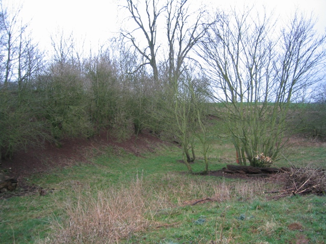
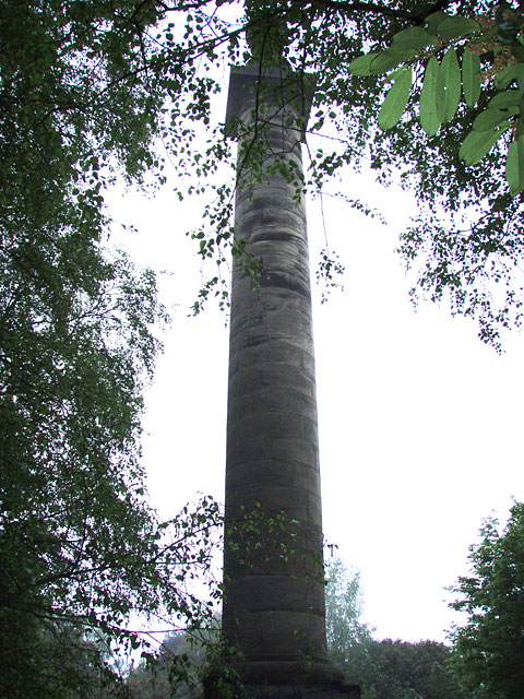
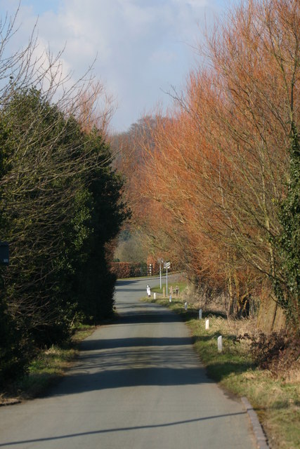
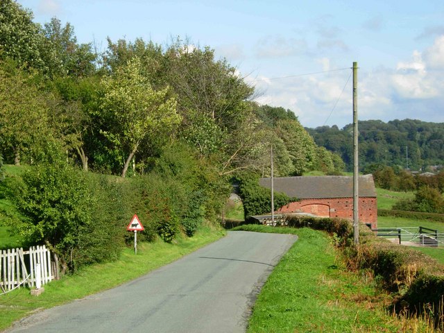
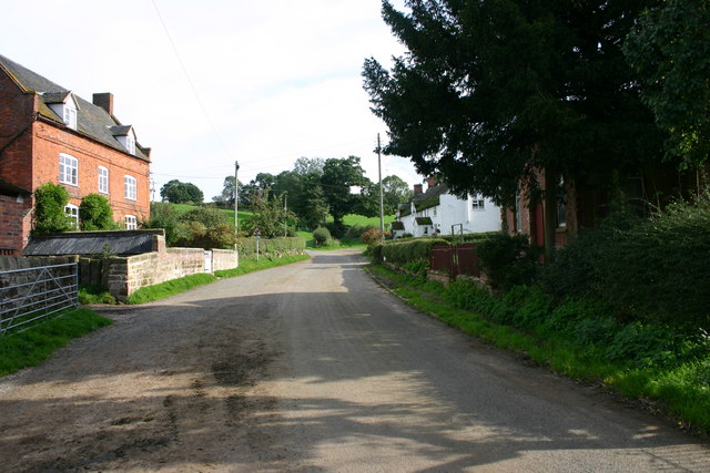
Babbs Covert is a hidden gem located in Staffordshire, England. Nestled within the picturesque countryside, this enchanting woodland is a haven for nature lovers and outdoor enthusiasts alike. Covering an area of approximately 50 hectares, Babbs Covert is a well-preserved forest that offers a tranquil escape from the hustle and bustle of city life.
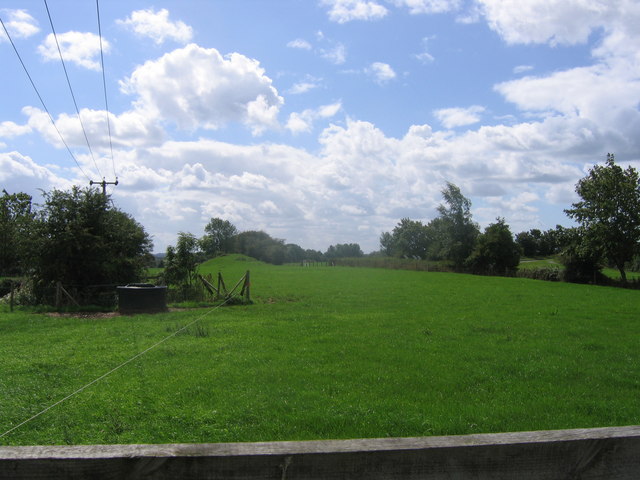
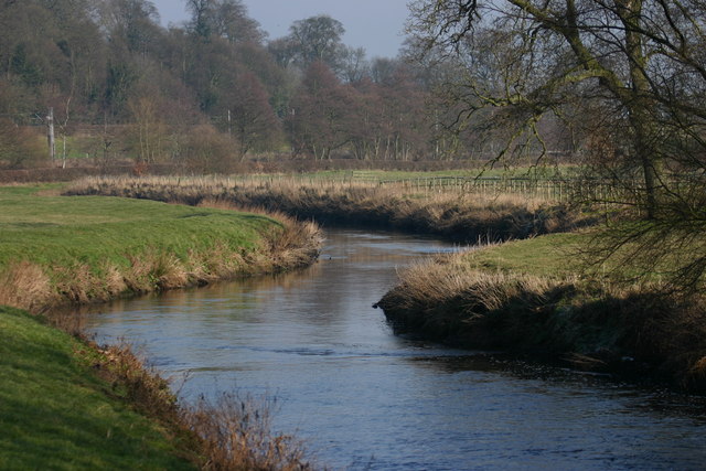
The woodland is characterized by its diverse range of flora and fauna, including ancient oak trees, birch, and hazel. The forest floor is adorned with carpets of bluebells during the spring, creating a stunning display of color. Visitors can also spot a variety of wildlife, such as deer, foxes, and numerous bird species, making it a popular spot for birdwatching.
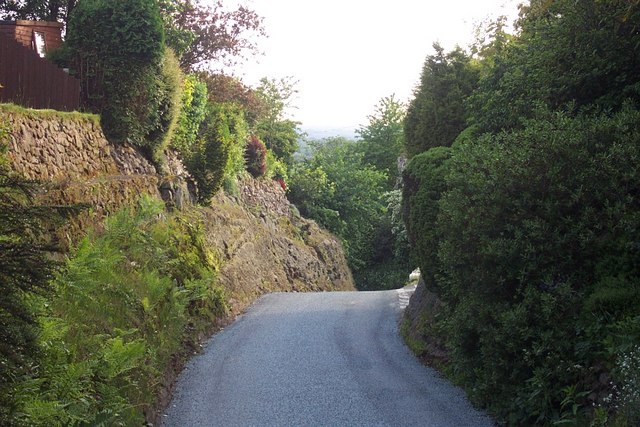
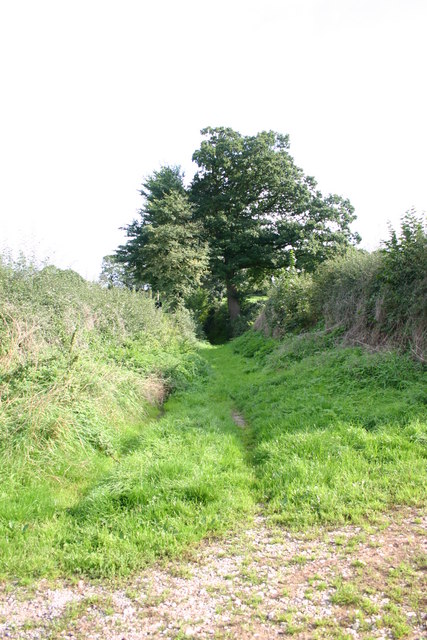
Babbs Covert offers a network of well-maintained trails, providing opportunities for leisurely walks, jogging, or cycling. The paths wind through the forest, offering glimpses of serene ponds and small streams along the way. Picnic areas are scattered throughout the woodland, providing the perfect spot for visitors to relax and soak in the peaceful surroundings.
Managed by the Staffordshire Wildlife Trust, Babbs Covert also hosts a range of outdoor events and educational activities for both children and adults. These include nature walks, wildlife spotting, and conservation workshops, aimed at raising awareness and appreciation for the natural world.
Overall, Babbs Covert is a true natural treasure, offering a serene escape for those seeking solace in nature. With its rich biodiversity and well-maintained trails, this Staffordshire woodland is a must-visit destination for anyone looking to reconnect with the great outdoors.
If you have any feedback on the listing, please let us know in the comments section below.
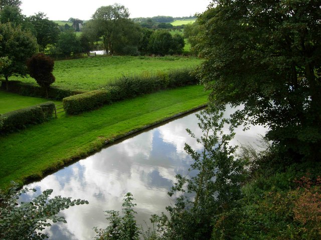
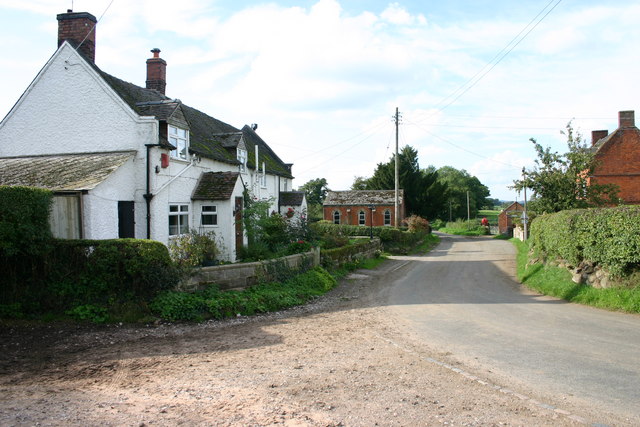
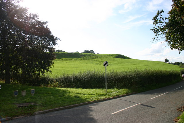
Babbs Covert Images
Images are sourced within 2km of 52.84692/-2.0804932 or Grid Reference SJ9427. Thanks to Geograph Open Source API. All images are credited.

Babbs Covert is located at Grid Ref: SJ9427 (Lat: 52.84692, Lng: -2.0804932)
Administrative County: Staffordshire
District: Stafford
Police Authority: Staffordshire
What 3 Words
///homing.ants.aviators. Near Stafford, Staffordshire
Nearby Locations
Related Wikis

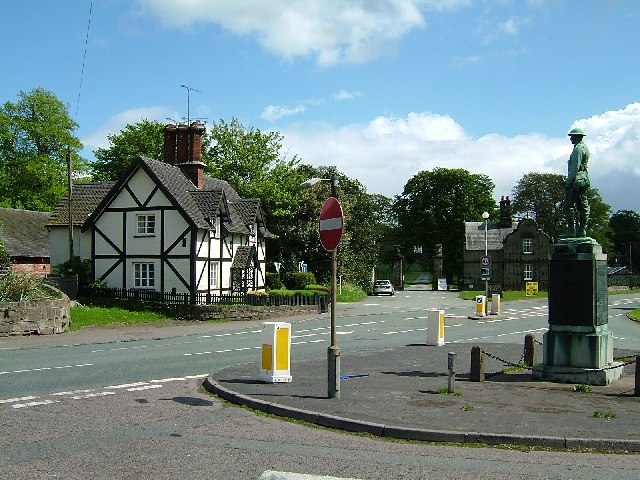
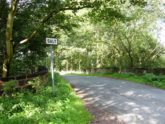
Salt, Staffordshire
Salt is a village in the Borough of Stafford in Staffordshire, England. It is three miles northeast of Stafford situated half a mile southwest of the A51...

Salt and Sandon railway station
Salt and Sandon railway station was a former British railway station opened by the Stafford and Uttoxeter Railway to serve the village of Salt in Staffordshire...

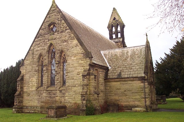
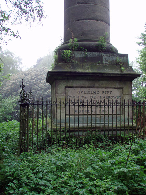
Sandon Hall
Sandon Hall is a 19th-century country mansion, the seat of the Earl of Harrowby, at Sandon, Staffordshire, 5 miles (8.0 km) northeast of Stafford. It is...

Sandon railway station
Sandon railway station was a railway station opened by the North Staffordshire Railway to serve the village of Sandon, Staffordshire, England. For some...

Hopton, Staffordshire
Hopton is a village in the civil parish of Hopton and Coton and is within the English county of Staffordshire. == Location == The village is on the north...

Battle of Hopton Heath
The battle of Hopton Heath was a battle of the First English Civil War, fought on Sunday 19 March 1643 between Parliamentarian forces led by Sir John Gell...

Sandon, Staffordshire
Sandon is a village in the civil parish of Sandon and Burston, in the Stafford district, in the county of Staffordshire, England. It is about 4.5 miles...

Marston, Milwich
Marston is a village and civil parish 12 miles (19 km) south of Stoke-on-Trent, in the Stafford district, in the county of Staffordshire, England. In 2011...
Nearby Amenities
Located within 500m of 52.84692,-2.0804932Have you been to Babbs Covert?
Leave your review of Babbs Covert below (or comments, questions and feedback).