Eastside Wood

Wood, Forest in Yorkshire Craven

England

Eastside Wood

Lilac Cottage, Starbotton  One of the oldest properties in the village, dated 1656. Listed grade II (list entry 1295854).
Lilac Cottage, Starbotton Credit: Stephen Craven

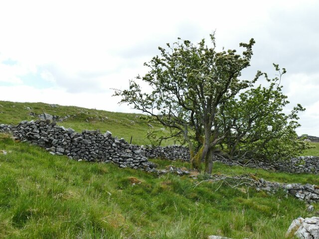
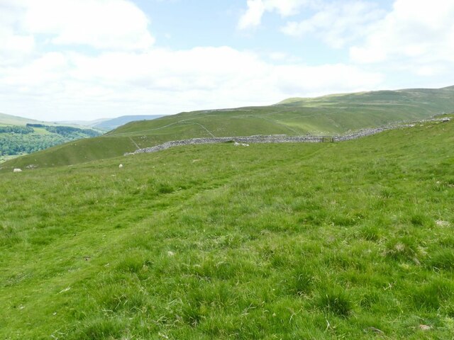
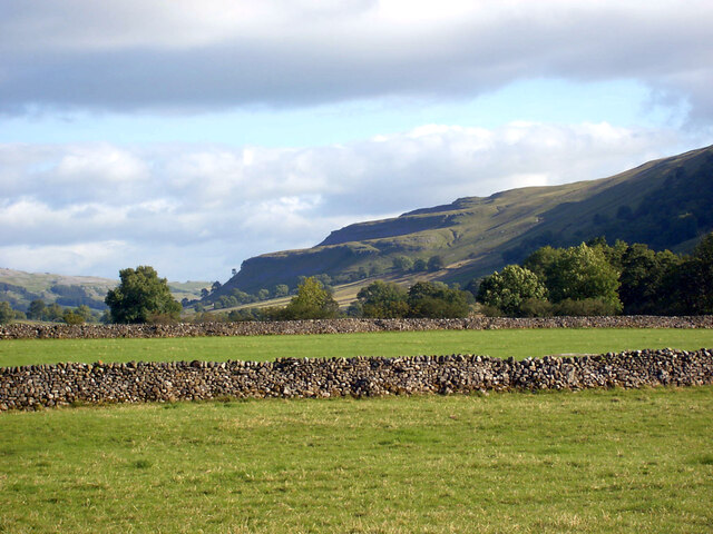
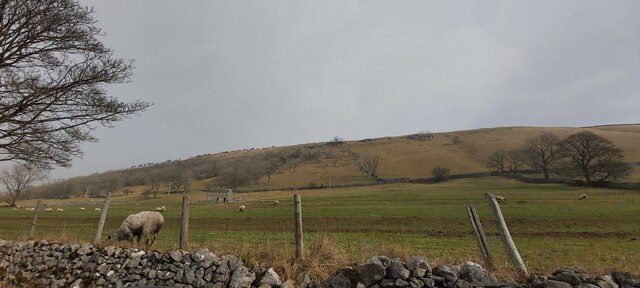
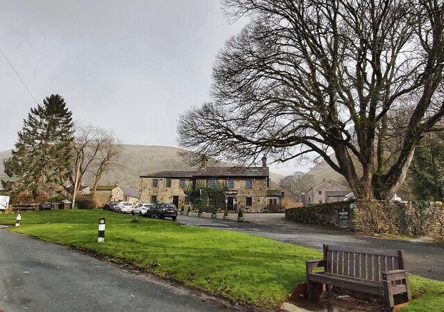
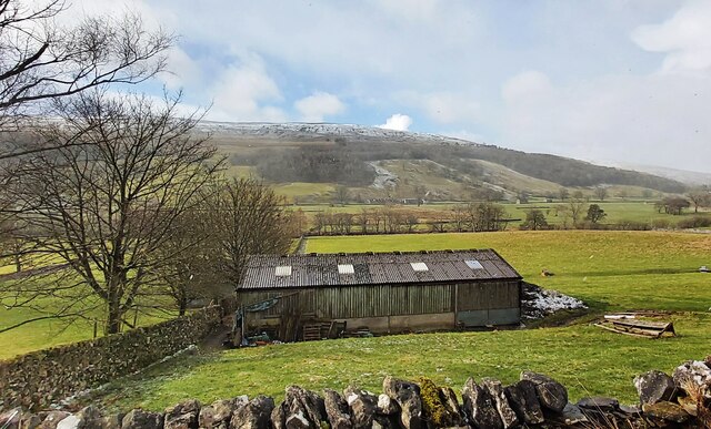
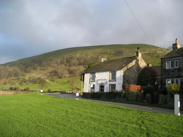
Eastside Wood is a picturesque forest located in the region of Yorkshire, England. Spanning over a vast area, this woodland is a natural treasure that attracts visitors from all over the country. The wood is nestled in a rural setting, surrounded by rolling hills and lush green landscapes, providing a serene and peaceful ambiance.

The forest is known for its diverse range of tree species, including oak, ash, beech, and birch, which create a dense and enchanting canopy. The towering trees create a haven for various wildlife species, such as deer, foxes, rabbits, and a variety of bird species, making it a popular spot for nature enthusiasts and birdwatchers.

Eastside Wood offers an extensive network of walking trails, allowing visitors to explore its beauty at their own pace. The paths wind through the forest, offering breathtaking views and opportunities to observe the flora and fauna up close. The forest also features a picnic area, where visitors can relax and enjoy the tranquil surroundings.

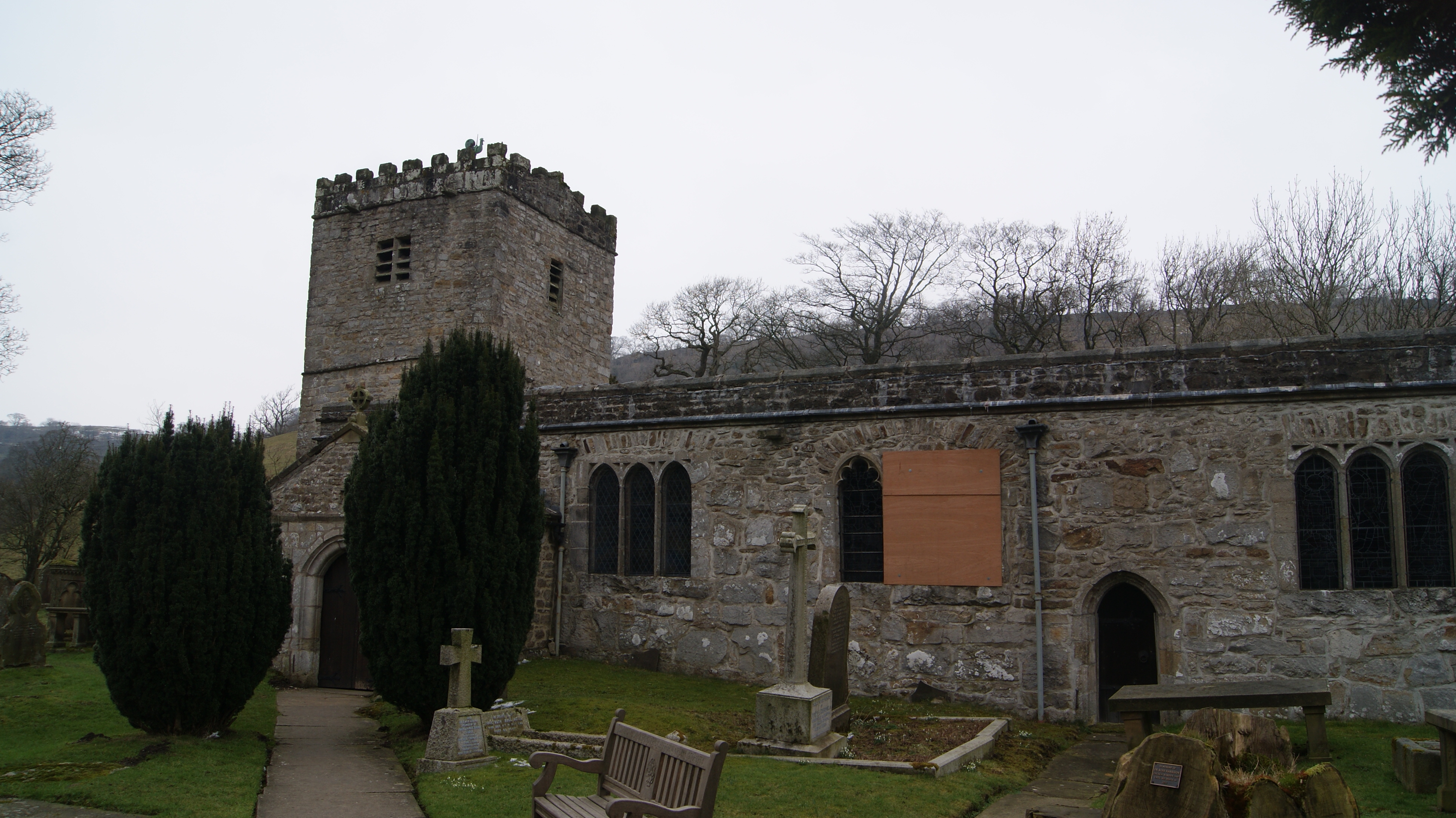
In addition to its natural beauty, Eastside Wood has historical significance. It is believed that the wood has been in existence for centuries, and remnants of ancient settlements and burial sites have been discovered within its grounds. These archaeological findings provide a glimpse into the rich history of the area.

Overall, Eastside Wood in Yorkshire is a magical destination for anyone seeking solace in nature. Its stunning landscapes, diverse wildlife, and historical significance make it a must-visit location for outdoor enthusiasts and those interested in discovering the region's natural and cultural heritage.

If you have any feedback on the listing, please let us know in the comments section below.

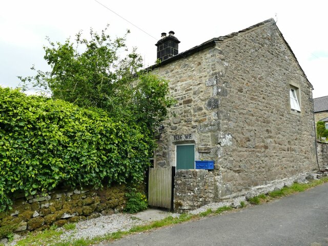
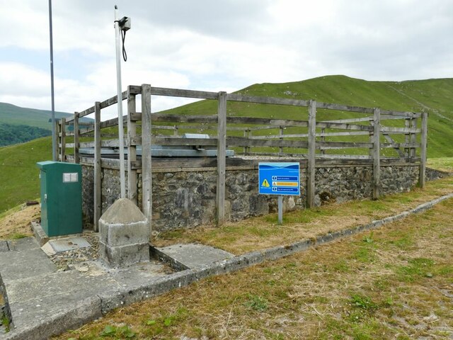
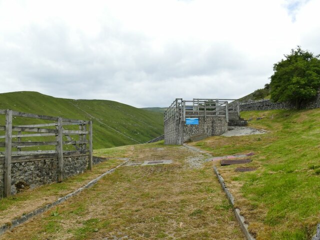
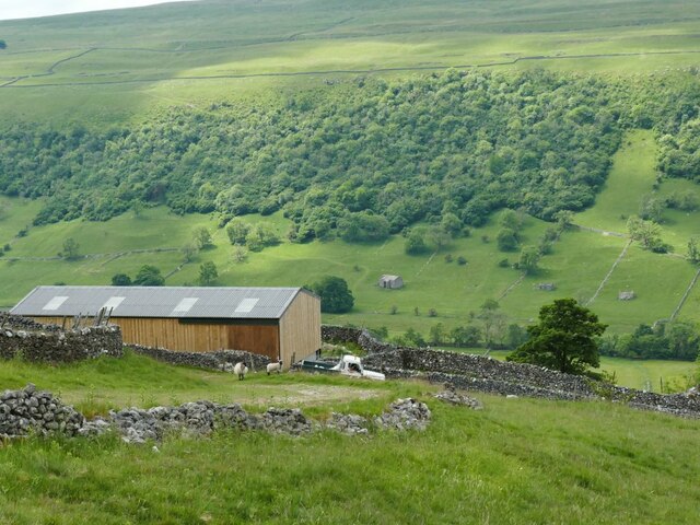
Eastside Wood Images

Images are sourced within 2km of 54.183833/-2.0832291 or Grid Reference SD9476. Thanks to Geograph Open Source API. All images are credited.

Lilac Cottage, Starbotton  One of the oldest properties in the village, dated 1656. Listed grade II (list entry 1295854).
Lilac Cottage, Starbotton
One of the oldest properties in the village, dated 1656. Listed grade II (list entry 1295854).
Starbotton waterworks (1) The installation alongside Starbotton Cam Road is shown on one online map as a 'sewage pumping station' which given its location high above the village seems most unlikely. Rather, it's a reservoir and treatment works for the village water supply.
Starbotton waterworks (1)
The installation alongside Starbotton Cam Road is shown on one online map as a 'sewage pumping station' which given its location high above the village seems most unlikely. Rather, it's a reservoir and treatment works for the village water supply.
Starbotton waterworks (2) The installation alongside Starbotton Cam Road is shown on one online map as a 'sewage pumping station' which given its location high above the village seems most unlikely. Rather, it's a reservoir and treatment works for the village water supply.
Starbotton waterworks (2)
The installation alongside Starbotton Cam Road is shown on one online map as a 'sewage pumping station' which given its location high above the village seems most unlikely. Rather, it's a reservoir and treatment works for the village water supply.
Modern barn by Starbotton Cam Road Maps show a sheepfold here, but the wooden-clad barn looks quite a recent addition.
Modern barn by Starbotton Cam Road
Maps show a sheepfold here, but the wooden-clad barn looks quite a recent addition.
Hawthorn alongside Starbotton Cam Road A solitary tree by this steep stone track high on the hillside.
Hawthorn alongside Starbotton Cam Road
A solitary tree by this steep stone track high on the hillside.
Grass track across Starbotton Cam Pasture A track not shown on online maps, probably made by quad bikes.
Grass track across Starbotton Cam Pasture
A track not shown on online maps, probably made by quad bikes.
The Wharfe Valley at Starbotton
The Fox & Hounds - Starbotton
Barn Advertising The George Inn near Buckden
Grazing land in Wharfedale
The Buck Inn - Buckden
Barn in Buckden Wood Fields
Starbotton village The Fox and Hounds pub is on the right: <span class="nowrap"><a title="https://foxandhoundsstarbotton.co.uk/" rel="nofollow ugc noopener" href="https://foxandhoundsstarbotton.co.uk/">Link</a><img style="margin-left:2px;" alt="External link" title="External link - shift click to open in new window" src="https://s1.geograph.org.uk/img/external.png" width="10" height="10"/></span>
Starbotton village
The Fox and Hounds pub is on the right: LinkExternal link
The River Wharfe at Starbotton
Stepping Stones on the Wharfe These stepping stones on the Wharfe afford a fording point near Starbotton.
Stepping Stones on the Wharfe
These stepping stones on the Wharfe afford a fording point near Starbotton.
Ford at Starbotton This is another ford at Starbotton.
Ford at Starbotton
This is another ford at Starbotton.
Old tunnel at Buckden Lead Mine Dropping down from Buckden Pike we took time to have a look around the disused lead mine.
Old tunnel at Buckden Lead Mine
Dropping down from Buckden Pike we took time to have a look around the disused lead mine.
High moorland above Buckden beck Views across to Wharfedale.
High moorland above Buckden beck
Views across to Wharfedale.
Show me another place!

Eastside Wood is located at Grid Ref: SD9476 (Lat: 54.183833, Lng: -2.0832291)

Division: West Riding

Administrative County: North Yorkshire

District: Craven

Police Authority: North Yorkshire

What 3 Words

///teacher.perusing.energy. Near Grassington, North Yorkshire

Nearby Locations

Eastside Wood

Related Wikis

Buckden, North Yorkshire

Buckden is a village and civil parish in the Craven district of North Yorkshire, England. Historically part of the West Riding of Yorkshire, Buckden is...

Starbotton

Starbotton is a village of around 60 houses in Upper Wharfedale in the Craven district of North Yorkshire, England. It is situated in the Yorkshire Dales...

Hubberholme

Hubberholme is an old village in Upper Wharfedale in the Yorkshire Dales, North Yorkshire, England, at the point where Langstrothdale meets Wharfedale...

Buckden Pike

Buckden Pike is a fell at the head of Wharfedale, a valley in the Yorkshire Dales, that stands above the village of Buckden, England. At 702 metres (2...

Cray, North Yorkshire

Cray is a hamlet on the B6160 road on a steep hill above Wharfedale in the Yorkshire Dales, North Yorkshire, England. It is near Buckden and the River...

Birks Fell

Birks Fell is a hill in the Yorkshire Dales, near to Hubberholme in North Yorkshire, England. It is classed as a Marilyn (a hill with topographic prominence...

Kettlewell with Starbotton

Kettlewell with Starbotton is a civil parish in the Craven district of North Yorkshire, England. Kettlewell is a village in Upper Wharfedale, North Yorkshire...

Langstrothdale

Langstrothdale is a scenic valley in the Yorkshire Dales in North Yorkshire, England. The uppermost course of the River Wharfe runs through it, but Wharfedale...

Nearby Amenities

Located within 500m of 54.183833,-2.0832291
lime kiln
Historic: ruins
Mineral: limestone
Source: OS 1852;Bing
Lat/Long: 54.1863339/-2.0782394
Natural: spring
Source: OS 1852
Lat/Long: 54.1837577/-2.0852085
lime kiln
Historic: archaeological_site
Mineral: lime
Source: OS 6", Yorkshire 98,1862
Lat/Long: 54.1825695/-2.0857096
Power: pole
Lat/Long: 54.1867367/-2.0873246
Power: pole
Lat/Long: 54.1858735/-2.0868686
Power: pole
Lat/Long: 54.1850809/-2.086418
Power: pole
Lat/Long: 54.1844562/-2.0860639
Power: pole
Lat/Long: 54.18372/-2.0856777
Power: pole
Lat/Long: 54.1828677/-2.0852163
Power: pole
Lat/Long: 54.1819887/-2.0847282
Power: pole
Lat/Long: 54.1810925/-2.0842427
Power: pole
Lat/Long: 54.1802997/-2.083827
Power: pole
Lat/Long: 54.1793956/-2.0833281
Archaeological Site: mineral_extraction
Description: probable lead mine shaft
Historic: mine_shaft
Mineral: lead
Source: Bing
Lat/Long: 54.1849925/-2.0815687
Archaeological Site: mineral_extraction
Description: probable lead mine shaft
Historic: mine_shaft
Mineral: lead
Source: Bing
Lat/Long: 54.1849581/-2.0813487
Archaeological Site: mineral_extraction
Description: probable lead mine shaft
Historic: mine_shaft
Mineral: lead
Source: Bing
Lat/Long: 54.1850365/-2.0812119
Archaeological Site: mineral_extraction
Description: probable lead mine shaft
Historic: mine_shaft
Mineral: lead
Source: Bing
Lat/Long: 54.1850192/-2.0808928
Archaeological Site: mineral_extraction
Description: probable lead mine shaft
Historic: mine_shaft
Mineral: lead
Source: Bing
Lat/Long: 54.1851824/-2.0825316
Archaeological Site: mineral_extraction
Description: probable lead mine shaft
Historic: mine_shaft
Mineral: lead
Source: Bing
Lat/Long: 54.1850223/-2.0810939
Archaeological Site: mineral_extraction
Description: probable lead mine shaft
Historic: mine_shaft
Mineral: lead
Source: Bing
Lat/Long: 54.1851087/-2.0821561
Archaeological Site: mineral_extraction
Description: probable lead mine shaft
Historic: mine_shaft
Mineral: lead
Source: Bing
Lat/Long: 54.1851385/-2.0823304
The data included in this document is from www.openstreetmap.org. The data is made available under ODbL.

Have you been to Eastside Wood?

Leave your review of Eastside Wood below (or comments, questions and feedback).