Rookery Wood
Wood, Forest in Cheshire
England
Rookery Wood
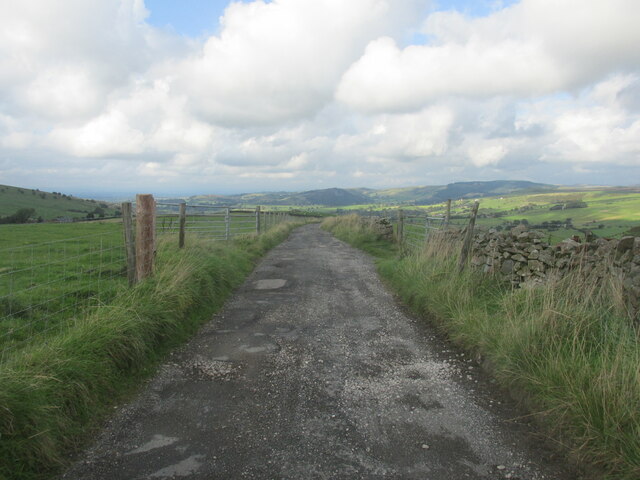
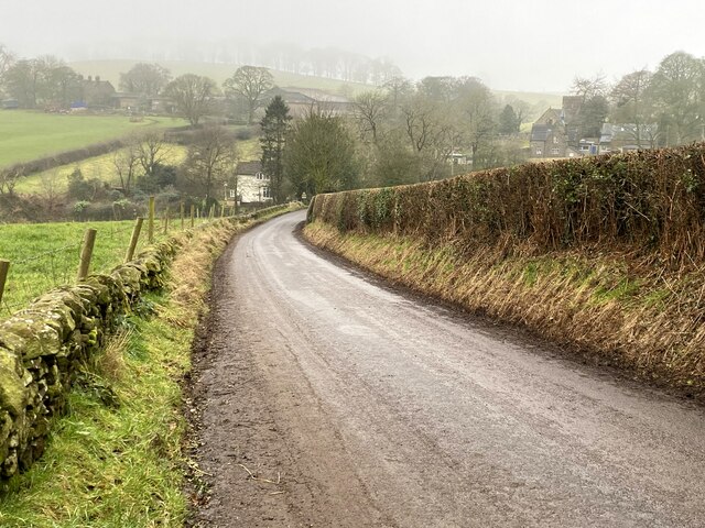
Rookery Wood is a picturesque woodland located in the county of Cheshire, England. Stretching across approximately 100 acres, this enchanting forest is a haven for nature enthusiasts and a popular destination for outdoor activities.
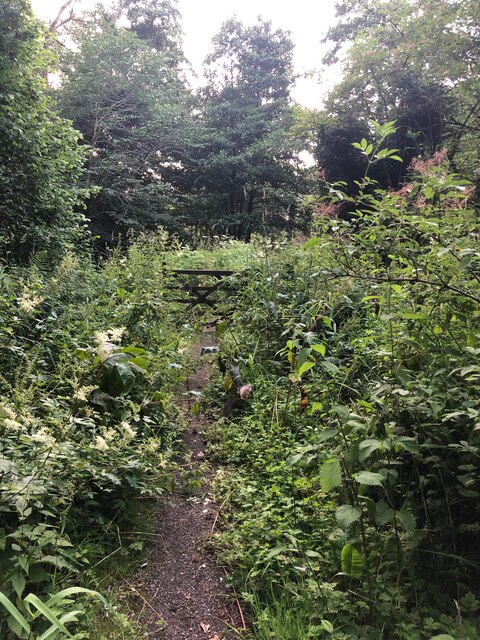
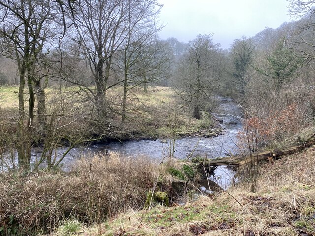
The wood is characterized by its diverse range of plant and animal species, making it a significant ecological site in the region. Ancient oak trees dominate the landscape, providing a rich habitat for various bird species, including woodpeckers, owls, and thrushes. The forest floor is adorned with a carpet of bluebells and wildflowers during the spring, creating a vibrant and colorful ambiance.
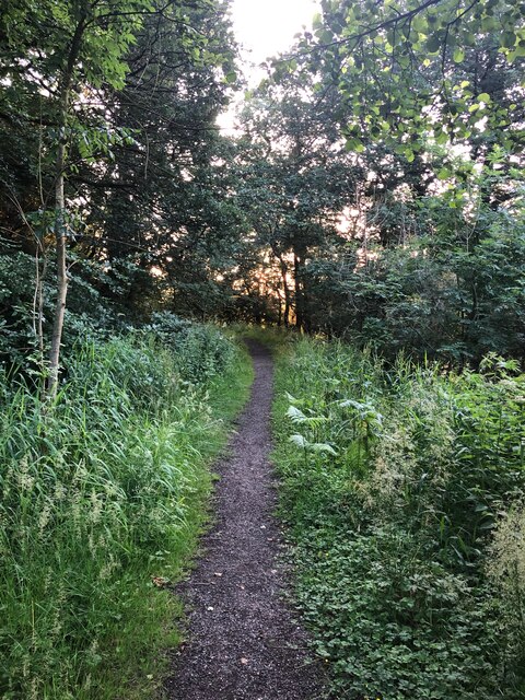
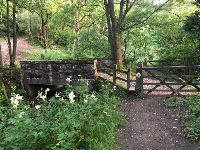
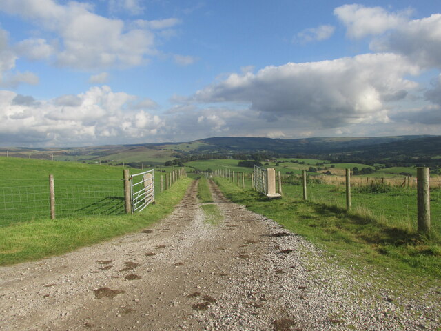
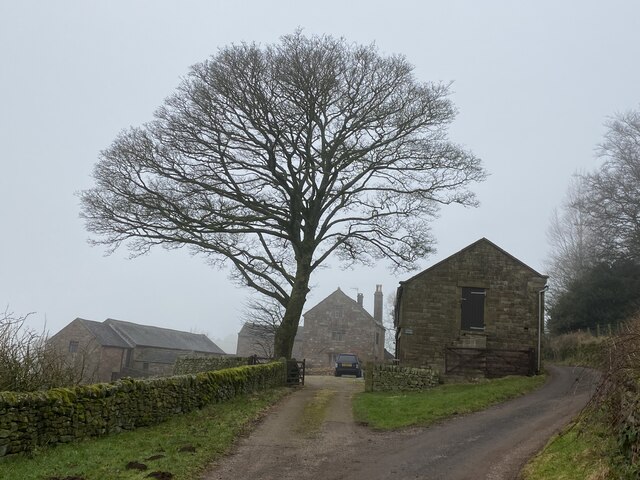
Visitors to Rookery Wood can explore the numerous walking trails that wind through the forest, allowing them to immerse themselves in the tranquility of nature. These pathways provide a chance to spot wildlife, such as deer, squirrels, and foxes, as they go about their daily routines. Additionally, the wood offers picnic areas and designated spaces for camping, enabling visitors to fully embrace the outdoor experience.
The management of Rookery Wood focuses on conservation and sustainability, ensuring the preservation of the woodland's natural beauty. The site is regularly maintained to protect its delicate ecosystem and promote biodiversity. Moreover, educational programs and guided tours are organized to raise awareness about the importance of woodland habitats and the need for their protection.
Overall, Rookery Wood in Cheshire is a captivating destination for those seeking solace in nature. With its stunning scenery, abundant wildlife, and commitment to conservation, this woodland provides a memorable experience for visitors of all ages.
If you have any feedback on the listing, please let us know in the comments section below.
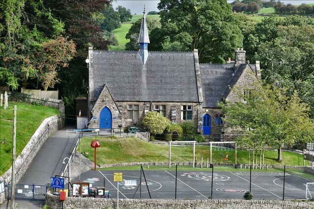
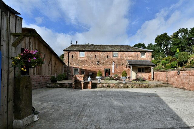
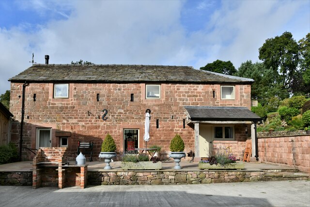
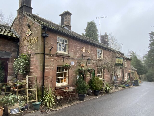
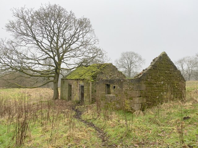
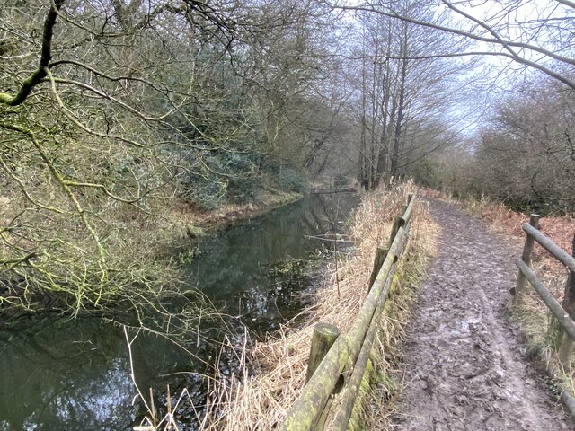
Rookery Wood Images
Images are sourced within 2km of 53.185917/-2.0830441 or Grid Reference SJ9465. Thanks to Geograph Open Source API. All images are credited.
Rookery Wood is located at Grid Ref: SJ9465 (Lat: 53.185917, Lng: -2.0830441)
Unitary Authority: Cheshire East
Police Authority: Cheshire
What 3 Words
///displays.tried.kiosk. Near Eaton, Cheshire
Nearby Locations
Related Wikis

Bosley Minn
Bosley Minn is one of two names – the other being Wincle Minn – given to a prominent hill in southeast Cheshire and in the southwestern corner of the Peak...

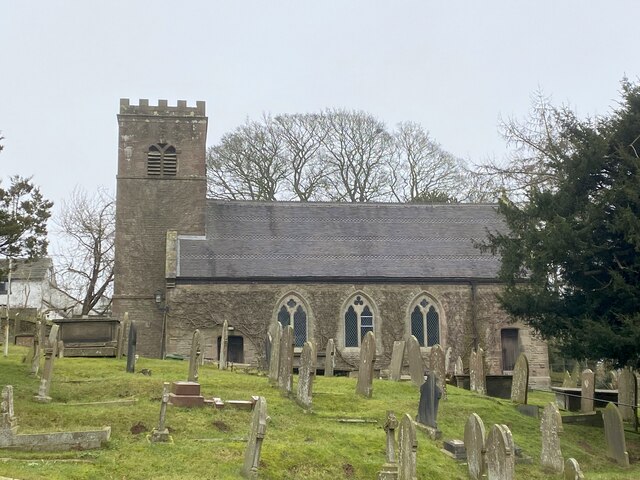
St Michael's Church, Wincle
St Michael's Church is in the village of Wincle, Cheshire, England. It is an active Anglican parish church in the diocese of Chester, the archdeaconry...
Wincle
Wincle is a village and civil parish in the Cheshire East district of Cheshire, England. It holds parish meetings, rather than parish council meetings...
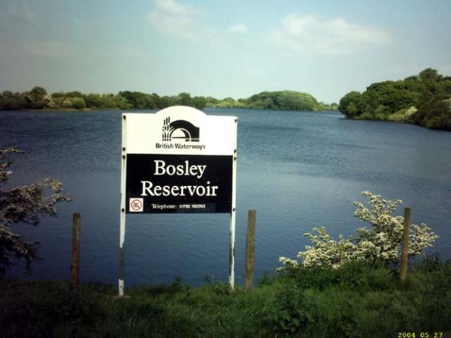
Bosley Reservoir
Bosley Reservoir is a large reservoir created to feed the Macclesfield Canal system, specifically the twelve Bosley locks. It is fed from the surrounding...

Silk 106.9
Cheshire's Silk Radio is an Independent Local Radio serving Macclesfield and parts of East Cheshire, owned and operated by neighbouring station Chester...

Croker Hill
Croker Hill stands just outside the western edge of the Peak District national park, overlooking Congleton in Cheshire. Near the summit stands the Sutton...

Sutton Common BT Tower
Sutton Common BT Tower is a 72-metre (238-foot) radio tower built of reinforced concrete at Macclesfield, Cheshire, England. Sutton Common was originally...

Church of St Mary the Virgin, Bosley
The Church of St Mary the Virgin is in Leek Road, Bosley, Cheshire, England. It is recorded in the National Heritage List for England as a designated Grade...
Nearby Amenities
Located within 500m of 53.185917,-2.0830441Have you been to Rookery Wood?
Leave your review of Rookery Wood below (or comments, questions and feedback).