Barnfield Wood
Wood, Forest in Cheshire
England
Barnfield Wood
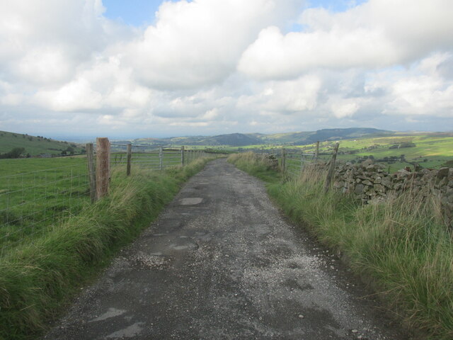
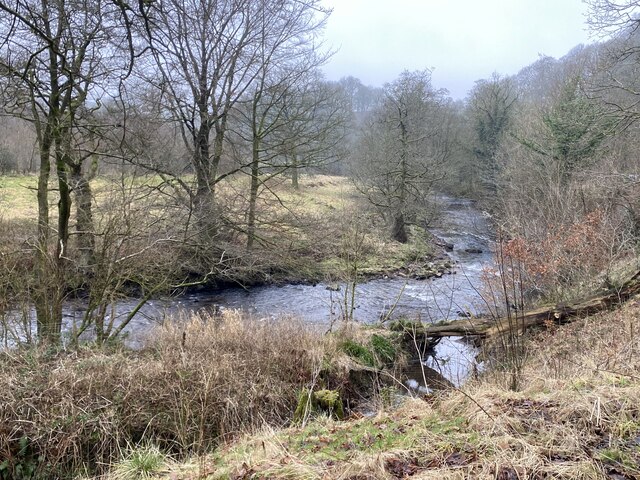
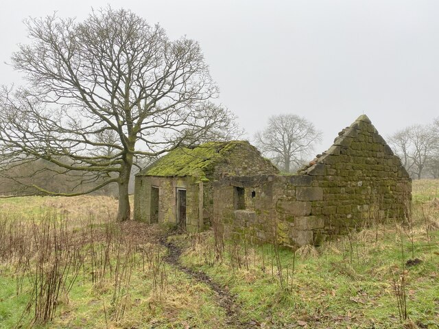
Barnfield Wood is a picturesque woodland located in Cheshire, England. Situated near the village of Barnfield, this forested area spans approximately 50 acres. It is known for its diverse range of flora and fauna, making it a popular destination for nature enthusiasts and walkers alike.
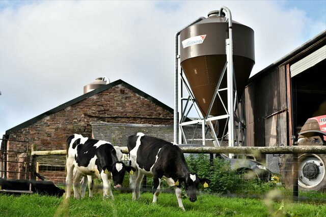
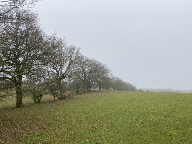
The wood is predominantly composed of native broadleaf trees, including oak, birch, and beech, providing a stunning natural canopy during the summer months. Bluebells and wildflowers carpet the forest floor in spring, creating a vibrant burst of color. The wood is also home to a variety of wildlife, including deer, badgers, and a multitude of bird species, making it an ideal spot for wildlife spotting and birdwatching.
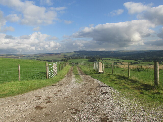
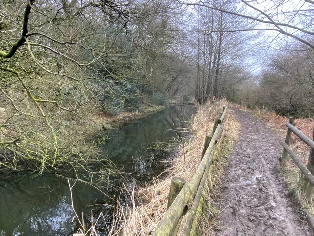
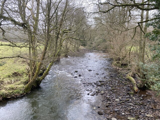
Barnfield Wood offers several well-maintained walking trails, allowing visitors to explore its beauty at their leisure. These paths wind through the forest, taking visitors past tranquil ponds and babbling brooks, creating a serene and peaceful atmosphere. The wood is also equipped with picnic areas, providing a perfect setting for a relaxing outdoor lunch.
The forest is managed by the local council, which ensures its preservation and conservation. They regularly organize educational events and guided walks to promote awareness and appreciation for the natural surroundings. Additionally, there are efforts in place to maintain the biodiversity of the wood, with ongoing tree planting and habitat restoration projects.
Barnfield Wood is a true gem of Cheshire, offering a peaceful and idyllic escape into nature. Whether it's a leisurely stroll, wildlife spotting, or simply enjoying a picnic amidst the beauty of the woodland, this forest provides a memorable experience for visitors of all ages.
If you have any feedback on the listing, please let us know in the comments section below.
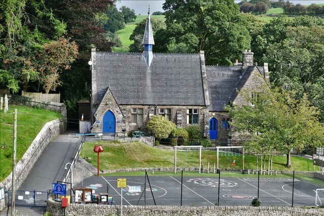
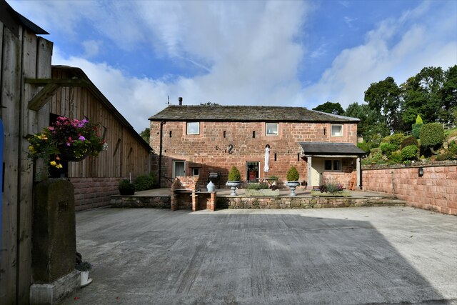
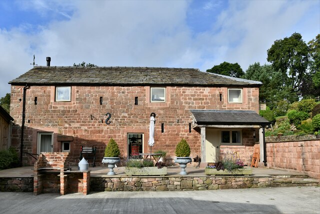
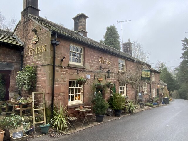
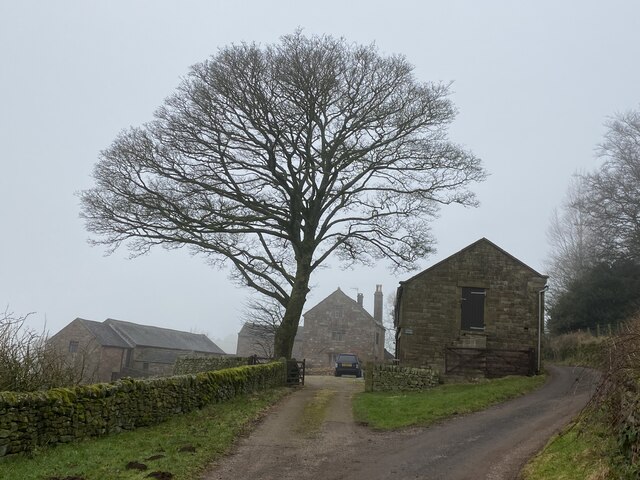
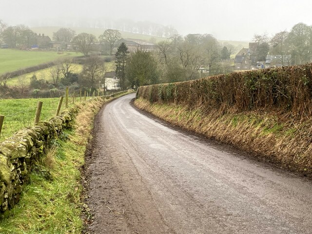
Barnfield Wood Images
Images are sourced within 2km of 53.183174/-2.0851038 or Grid Reference SJ9465. Thanks to Geograph Open Source API. All images are credited.
Barnfield Wood is located at Grid Ref: SJ9465 (Lat: 53.183174, Lng: -2.0851038)
Unitary Authority: Cheshire East
Police Authority: Cheshire
What 3 Words
///decoded.horses.gear. Near Eaton, Cheshire
Nearby Locations
Related Wikis

Bosley Minn
Bosley Minn is one of two names – the other being Wincle Minn – given to a prominent hill in southeast Cheshire and in the southwestern corner of the Peak...

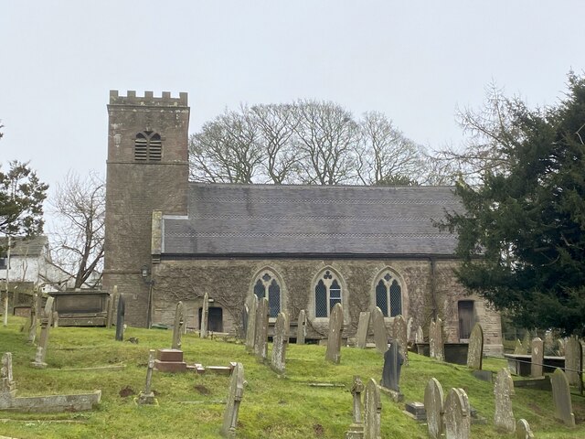
St Michael's Church, Wincle
St Michael's Church is in the village of Wincle, Cheshire, England. It is an active Anglican parish church in the diocese of Chester, the archdeaconry...
Wincle
Wincle is a village and civil parish in the Cheshire East district of Cheshire, England. It holds parish meetings, rather than parish council meetings...

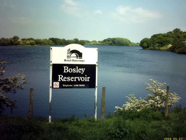
Bosley Reservoir
Bosley Reservoir is a large reservoir created to feed the Macclesfield Canal system, specifically the twelve Bosley locks. It is fed from the surrounding...
Heaton, Staffordshire
Heaton is a small village and civil parish in Staffordshire, England. It is about 4 miles (6.4 km) north of Leek and about 7 miles (11 km) south of Macclesfield...

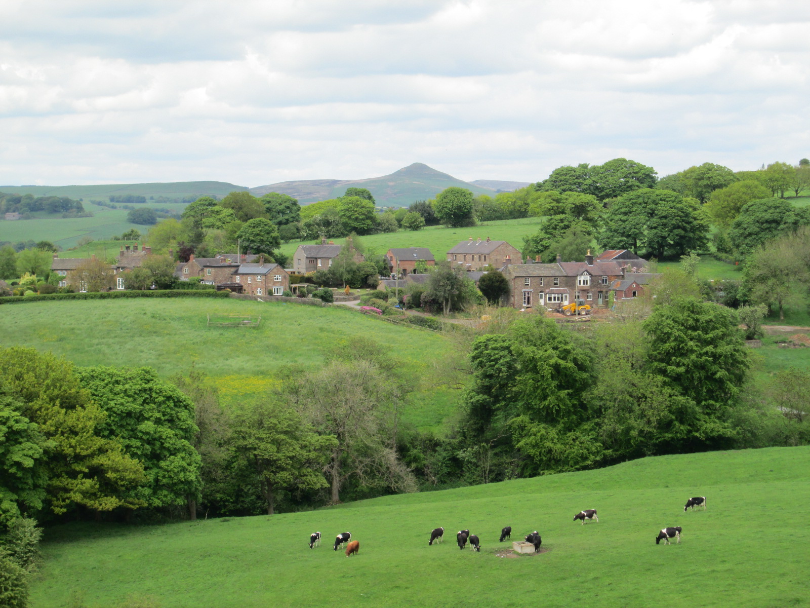
Bosley
Bosley is a village and civil parish in Cheshire, England. At the 2001 census, it had a population of 406. The village is on the A523 road near to where...
Church of St Mary the Virgin, Bosley
The Church of St Mary the Virgin is in Leek Road, Bosley, Cheshire, England. It is recorded in the National Heritage List for England as a designated Grade...

Rushton, Staffordshire
Rushton is a civil parish in Staffordshire, England. The village within the civil parish, usually known as Rushton Spencer, is about 4 miles (6.4 km) north...
Nearby Amenities
Located within 500m of 53.183174,-2.0851038Have you been to Barnfield Wood?
Leave your review of Barnfield Wood below (or comments, questions and feedback).