Tollard Plantation

Wood, Forest in Wiltshire

England

Tollard Plantation

Stubble, Rotherley Down Gently sloping ground, Cranbourne Chase.
Stubble, Rotherley Down Credit: Richard Webb

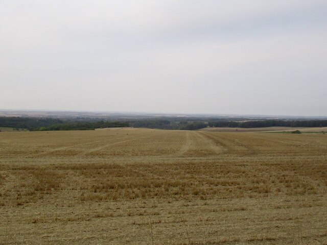
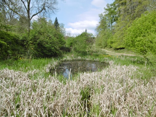
Tollard Plantation is a beautiful woodland area located in Wiltshire, England. Situated near the village of Tollard Royal, it covers an area of approximately 100 hectares and is a popular destination for nature lovers and outdoor enthusiasts.

The plantation is predominantly composed of a mix of broadleaf trees, including oak, beech, and ash, creating a diverse and thriving forest ecosystem. The dense canopy provides ample shade and shelter for a variety of wildlife, making it an ideal habitat for birds, mammals, and insects.

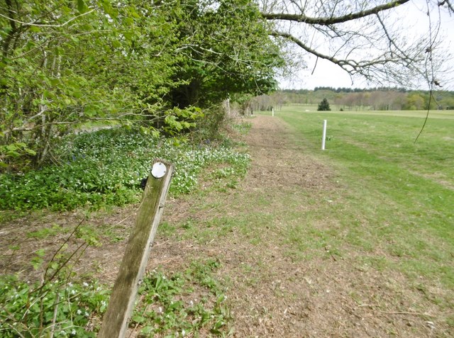
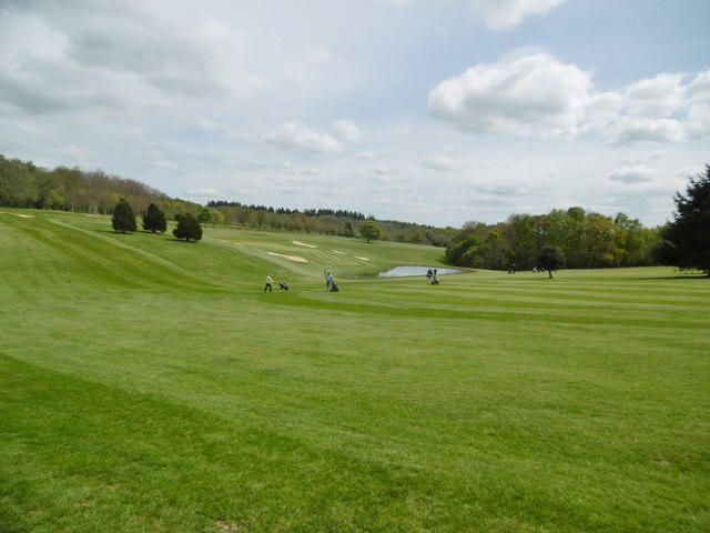
Visitors to Tollard Plantation can explore the numerous walking trails that wind through the woodland, offering stunning views and a chance to immerse themselves in nature. These trails are well-maintained and suitable for all ages and abilities, providing a peaceful and tranquil setting for a leisurely stroll or a more challenging hike.

The plantation is also home to a range of flora and fauna, with wildflowers, ferns, and mosses adding bursts of color and texture to the forest floor. During the spring and summer months, the woodland comes alive with the sound of birdsong, and lucky visitors may even spot roe deer or foxes among the trees.

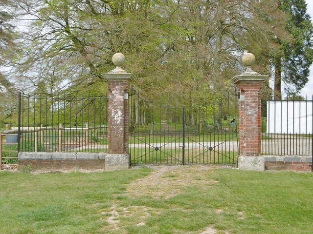
Tollard Plantation is managed by local authorities to ensure the preservation of its natural beauty and biodiversity. It is open to the public year-round and offers a range of amenities, including picnic areas and parking facilities. Whether for a family outing, a peaceful retreat, or a wildlife-spotting adventure, Tollard Plantation provides a captivating and enchanting experience for all who visit.

If you have any feedback on the listing, please let us know in the comments section below.

Tollard Plantation Images

Images are sourced within 2km of 50.967629/-2.0790427 or Grid Reference ST9418. Thanks to Geograph Open Source API. All images are credited.

Stubble, Rotherley Down Gently sloping ground, Cranbourne Chase.
Stubble, Rotherley Down
Gently sloping ground, Cranbourne Chase.
Rushmore Park, timber Beech trunks, awaiting collection by the roadside.
Rushmore Park, timber
Beech trunks, awaiting collection by the roadside.
Rushmore Park, footpath Skirting woodland, towards Shermel Gate.
Rushmore Park, footpath
Skirting woodland, towards Shermel Gate.
Rushmore Park, avenue A once fine avenue of beech trees leading from South Lodge. Several have disappeared or are in poor condition.
Rushmore Park, avenue
A once fine avenue of beech trees leading from South Lodge. Several have disappeared or are in poor condition.
Rushmore Park, platform Possibly used for watching equestrian events.
Rushmore Park, platform
Possibly used for watching equestrian events.
Rushmore Park, gate Entering Pollards Wood, on the path to Shermel Gate.
Rushmore Park, gate
Entering Pollards Wood, on the path to Shermel Gate.
Rushmore Park, footpath Through Pollards Wood, on the way to Shermel Gate; part of Hardy Way.
Rushmore Park, footpath
Through Pollards Wood, on the way to Shermel Gate; part of Hardy Way.
Rushmore Park, bluebells Wild bluebells under, unusually, a screen of conifers in Uddens Coppice.
Rushmore Park, bluebells
Wild bluebells under, unusually, a screen of conifers in Uddens Coppice.
Rushmore Park, marker On the path through Uddens Coppice towards Shermel Gate; on Hardy Way.
Rushmore Park, marker
On the path through Uddens Coppice towards Shermel Gate; on Hardy Way.
Rushmore Park, bluebell wood Wild bluebells in Brookes Coppice.
Rushmore Park, bluebell wood
Wild bluebells in Brookes Coppice.
Rushmore Park, golf course Part of an extensive 18-hole course: <span class="nowrap"><a title="http://www.rushmoregolfclub.co.uk/cms/" rel="nofollow ugc noopener" href="http://www.rushmoregolfclub.co.uk/cms/">Link</a><img style="margin-left:2px;" alt="External link" title="External link - shift click to open in new window" src="https://s1.geograph.org.uk/img/external.png" width="10" height="10"/></span>
Rushmore Park, golf course
Part of an extensive 18-hole course: LinkExternal link
Rushmore Park, dewpond Used by the local sheep.
Rushmore Park, dewpond
Used by the local sheep.
Rushmore Park, bluebells Wild bluebells next to the golf course.
Rushmore Park, bluebells
Wild bluebells next to the golf course.
Rushmore Park, golf course An extensive 18-hole course: <span class="nowrap"><a title="http://www.rushmoregolfclub.co.uk/cms/" rel="nofollow ugc noopener" href="http://www.rushmoregolfclub.co.uk/cms/">Link</a><img style="margin-left:2px;" alt="External link" title="External link - shift click to open in new window" src="https://s1.geograph.org.uk/img/external.png" width="10" height="10"/></span>
Rushmore Park, golf course
An extensive 18-hole course: LinkExternal link
Rushmore Park, gateway Also on the Wiltshire/Dorset boundary.
Rushmore Park, gateway
Also on the Wiltshire/Dorset boundary.
Rushmore Park, marker On the footpath to Shermel Gate, part of Hardy Way. Beware golf balls from the right!
Rushmore Park, marker
On the footpath to Shermel Gate, part of Hardy Way. Beware golf balls from the right!
Rushmore Park, golf course An extensive 18-hole course: <span class="nowrap"><a title="http://www.rushmoregolfclub.co.uk/cms/" rel="nofollow ugc noopener" href="http://www.rushmoregolfclub.co.uk/cms/">Link</a><img style="margin-left:2px;" alt="External link" title="External link - shift click to open in new window" src="https://s1.geograph.org.uk/img/external.png" width="10" height="10"/></span>
Rushmore Park, golf course
An extensive 18-hole course: LinkExternal link
Rushmore Park, pond
Rushmore Park, pond
Show me another place!

Tollard Plantation is located at Grid Ref: ST9418 (Lat: 50.967629, Lng: -2.0790427)

Unitary Authority: Wiltshire

Police Authority: Wiltshire

What 3 Words

///tacky.takeover.difficult. Near Ansty, Wiltshire

Related Wikis

Tollard Royal

Tollard Royal is a village and civil parish on Cranborne Chase, Wiltshire, England. The parish is on Wiltshire's southern boundary with Dorset and the...

Rotherley Down Settlement

Rotherley Down Settlement is an archaeological site of the late Iron Age and Romano-British period on Cranborne Chase, England. It is about 1.5 miles...

Sandroyd School

Sandroyd School is an independent co-educational preparatory school for day and boarding pupils aged 2 to 13 in the south of Wiltshire, England. The school...

Rotherley Downs

Rotherley Downs (grid reference ST946196) is a 120.05 hectare biological Site of Special Scientific Interest in Wiltshire, England, notified in 1989. The...

Nearby Amenities

Located within 500m of 50.967629,-2.0790427
Material: wood
Power: pole
Source: bing
Lat/Long: 50.9636232/-2.0822517
Material: wood
Power: pole
Source: bing
Lat/Long: 50.9666987/-2.0830388
Material: wood
Power: pole
Source: bing
Lat/Long: 50.9678778/-2.0837201
Material: wood
Power: pole
Source: bing
Lat/Long: 50.9690399/-2.0844067
The data included in this document is from www.openstreetmap.org. The data is made available under ODbL.

Have you been to Tollard Plantation?

Leave your review of Tollard Plantation below (or comments, questions and feedback).