Mundays Pond

Lake, Pool, Pond, Freshwater Marsh in Wiltshire

England

Mundays Pond

B3081 looking east Heading towards Sixpenny Handley.
B3081 looking east Credit: Robin Webster

Mundays Pond is a freshwater marsh located in the picturesque county of Wiltshire, England. Nestled amidst the rolling countryside, this serene body of water is often referred to as a pond due to its small size and tranquil surroundings.

Spanning approximately 1.5 acres, Mundays Pond boasts crystal-clear water and is surrounded by lush vegetation, creating a haven for a variety of wildlife. The pond itself is relatively shallow, with an average depth of around 1.5 meters, making it an ideal habitat for numerous species of fish, insects, and amphibians.

The surrounding area is a combination of grassy banks and reed beds, which provide shelter and breeding grounds for an array of bird species, including swans, ducks, and herons. The diverse plant life, such as water lilies and bullrushes, adds to the natural beauty of the pond and enhances its ecological significance.

Mundays Pond is a popular spot for nature enthusiasts, birdwatchers, and anglers alike. Its tranquil ambiance and scenic views make it a perfect place for a leisurely stroll or a peaceful picnic by the water's edge. The pond is easily accessible via a public footpath, and there are designated areas for fishing, allowing visitors to enjoy a relaxing day of angling.

Overall, Mundays Pond offers a unique opportunity to experience the stunning natural beauty of Wiltshire's countryside. Its diverse ecosystem, abundant wildlife, and serene atmosphere make it a true gem for those seeking a peaceful retreat in nature.

If you have any feedback on the listing, please let us know in the comments section below.

Mundays Pond Images

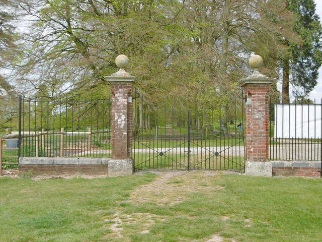
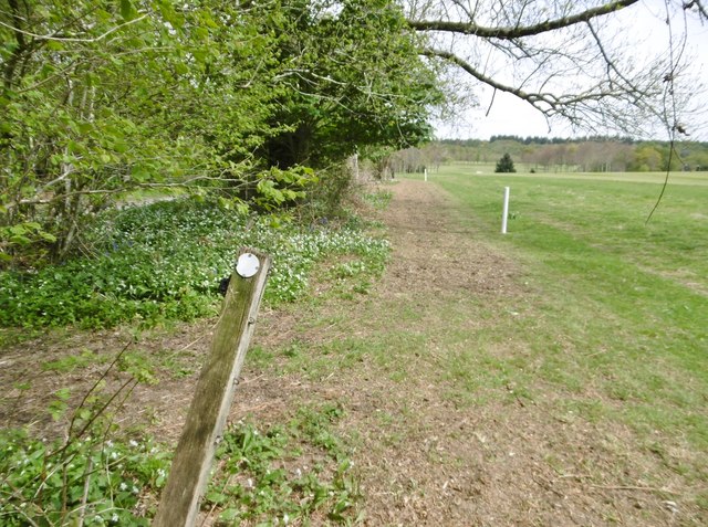
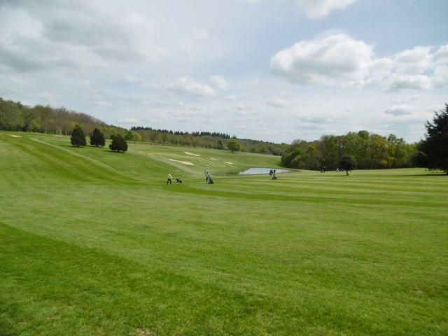
Images are sourced within 2km of 50.96525/-2.0730293 or Grid Reference ST9418. Thanks to Geograph Open Source API. All images are credited.

B3081 looking east Heading towards Sixpenny Handley.
B3081 looking east
Heading towards Sixpenny Handley.
Rushmore Park, avenue The remains of a once fine avenue of beech trees, at the southern entrance to the estate.
Rushmore Park, avenue
The remains of a once fine avenue of beech trees, at the southern entrance to the estate.
Rushmore Park, timber Beech trunks, awaiting collection by the roadside.
Rushmore Park, timber
Beech trunks, awaiting collection by the roadside.
Rushmore Park, footpath Skirting woodland, towards Shermel Gate.
Rushmore Park, footpath
Skirting woodland, towards Shermel Gate.
Rushmore Park, avenue A once fine avenue of beech trees leading from South Lodge. Several have disappeared or are in poor condition.
Rushmore Park, avenue
A once fine avenue of beech trees leading from South Lodge. Several have disappeared or are in poor condition.
Rushmore Park, platform Possibly used for watching equestrian events.
Rushmore Park, platform
Possibly used for watching equestrian events.
Rushmore Park, gate Entering Pollards Wood, on the path to Shermel Gate.
Rushmore Park, gate
Entering Pollards Wood, on the path to Shermel Gate.
Rushmore Park, footpath Through Pollards Wood, on the way to Shermel Gate; part of Hardy Way.
Rushmore Park, footpath
Through Pollards Wood, on the way to Shermel Gate; part of Hardy Way.
Rushmore Park, bluebells Wild bluebells under, unusually, a screen of conifers in Uddens Coppice.
Rushmore Park, bluebells
Wild bluebells under, unusually, a screen of conifers in Uddens Coppice.
Rushmore Park, marker On the path through Uddens Coppice towards Shermel Gate; on Hardy Way.
Rushmore Park, marker
On the path through Uddens Coppice towards Shermel Gate; on Hardy Way.
Rushmore Park, bluebell wood Wild bluebells in Brookes Coppice.
Rushmore Park, bluebell wood
Wild bluebells in Brookes Coppice.
Rushmore Park, golf course Part of an extensive 18-hole course: <span class="nowrap"><a title="http://www.rushmoregolfclub.co.uk/cms/" rel="nofollow ugc noopener" href="http://www.rushmoregolfclub.co.uk/cms/">Link</a><img style="margin-left:2px;" alt="External link" title="External link - shift click to open in new window" src="https://s1.geograph.org.uk/img/external.png" width="10" height="10"/></span>
Rushmore Park, golf course
Part of an extensive 18-hole course: LinkExternal link
Rushmore Park, dewpond Used by the local sheep.
Rushmore Park, dewpond
Used by the local sheep.
Rushmore Park, bluebells Wild bluebells next to the golf course.
Rushmore Park, bluebells
Wild bluebells next to the golf course.
Rushmore Park, golf course An extensive 18-hole course: <span class="nowrap"><a title="http://www.rushmoregolfclub.co.uk/cms/" rel="nofollow ugc noopener" href="http://www.rushmoregolfclub.co.uk/cms/">Link</a><img style="margin-left:2px;" alt="External link" title="External link - shift click to open in new window" src="https://s1.geograph.org.uk/img/external.png" width="10" height="10"/></span>
Rushmore Park, golf course
An extensive 18-hole course: LinkExternal link
Rushmore Park, gateway Also on the Wiltshire/Dorset boundary.
Rushmore Park, gateway
Also on the Wiltshire/Dorset boundary.
Rushmore Park, marker On the footpath to Shermel Gate, part of Hardy Way. Beware golf balls from the right!
Rushmore Park, marker
On the footpath to Shermel Gate, part of Hardy Way. Beware golf balls from the right!
Rushmore Park, golf course An extensive 18-hole course: <span class="nowrap"><a title="http://www.rushmoregolfclub.co.uk/cms/" rel="nofollow ugc noopener" href="http://www.rushmoregolfclub.co.uk/cms/">Link</a><img style="margin-left:2px;" alt="External link" title="External link - shift click to open in new window" src="https://s1.geograph.org.uk/img/external.png" width="10" height="10"/></span>
Rushmore Park, golf course
An extensive 18-hole course: LinkExternal link
Show me another place!

Mundays Pond is located at Grid Ref: ST9418 (Lat: 50.96525, Lng: -2.0730293)

Unitary Authority: Wiltshire

Police Authority: Wiltshire

What 3 Words

///armrests.maybe.terribly. Near Ansty, Wiltshire

Related Wikis

Sandroyd School

Sandroyd School is an independent co-educational preparatory school for day and boarding pupils aged 2 to 13 in the south of Wiltshire, England. The school...

Tollard Royal

Tollard Royal is a village and civil parish on Cranborne Chase, Wiltshire, England. The parish is on Wiltshire's southern boundary with Dorset and the...

King John's House, Tollard Royal

King John's House is a former manor house in the south Wiltshire village of Tollard Royal, England. Just south of the church, the building has at its core...

Rotherley Down Settlement

Rotherley Down Settlement is an archaeological site of the late Iron Age and Romano-British period on Cranborne Chase, England. It is about 1.5 miles...

Nearby Amenities

Located within 500m of 50.96525,-2.0730293
Entrance: yes
Lat/Long: 50.9651563/-2.0682643
Material: wood
Power: pole
Source: bing
Lat/Long: 50.9624587/-2.0768214
Material: wood
Power: pole
Source: bing
Lat/Long: 50.9627999/-2.0756654
Material: wood
Power: pole
Source: bing
Lat/Long: 50.9631547/-2.0744959
Material: wood
Power: pole
Source: bing
Lat/Long: 50.9637493/-2.0738978
Material: wood
Power: pole
Source: bing
Lat/Long: 50.9643879/-2.0732728
Material: wood
Power: pole
Source: bing
Lat/Long: 50.9650889/-2.0726479
Material: wood
Power: pole
Source: bing
Lat/Long: 50.9657646/-2.0720471
Material: wood
Power: pole
Source: bing
Lat/Long: 50.9664605/-2.0713926
Material: wood
Power: pole
Source: bing
Lat/Long: 50.967121/-2.0698745
Material: wood
Power: pole
Source: bing
Lat/Long: 50.9674335/-2.0706496
Material: wood
Power: pole
Source: bing
Lat/Long: 50.9683963/-2.0701132
Material: wood
Power: pole
Source: bing
Lat/Long: 50.9687325/-2.0694883
Lodge Coppice
Place: locality
Lat/Long: 50.9651657/-2.0713868
The data included in this document is from www.openstreetmap.org. The data is made available under ODbL.

Have you been to Mundays Pond?

Leave your review of Mundays Pond below (or comments, questions and feedback).