Ealees Wood

Wood, Forest in Lancashire

England

Ealees Wood

Sladen Hill and Longley Hey seen from Halifax Road
Sladen Hill and Longley Hey seen from Halifax Road Credit: Colin Pyle

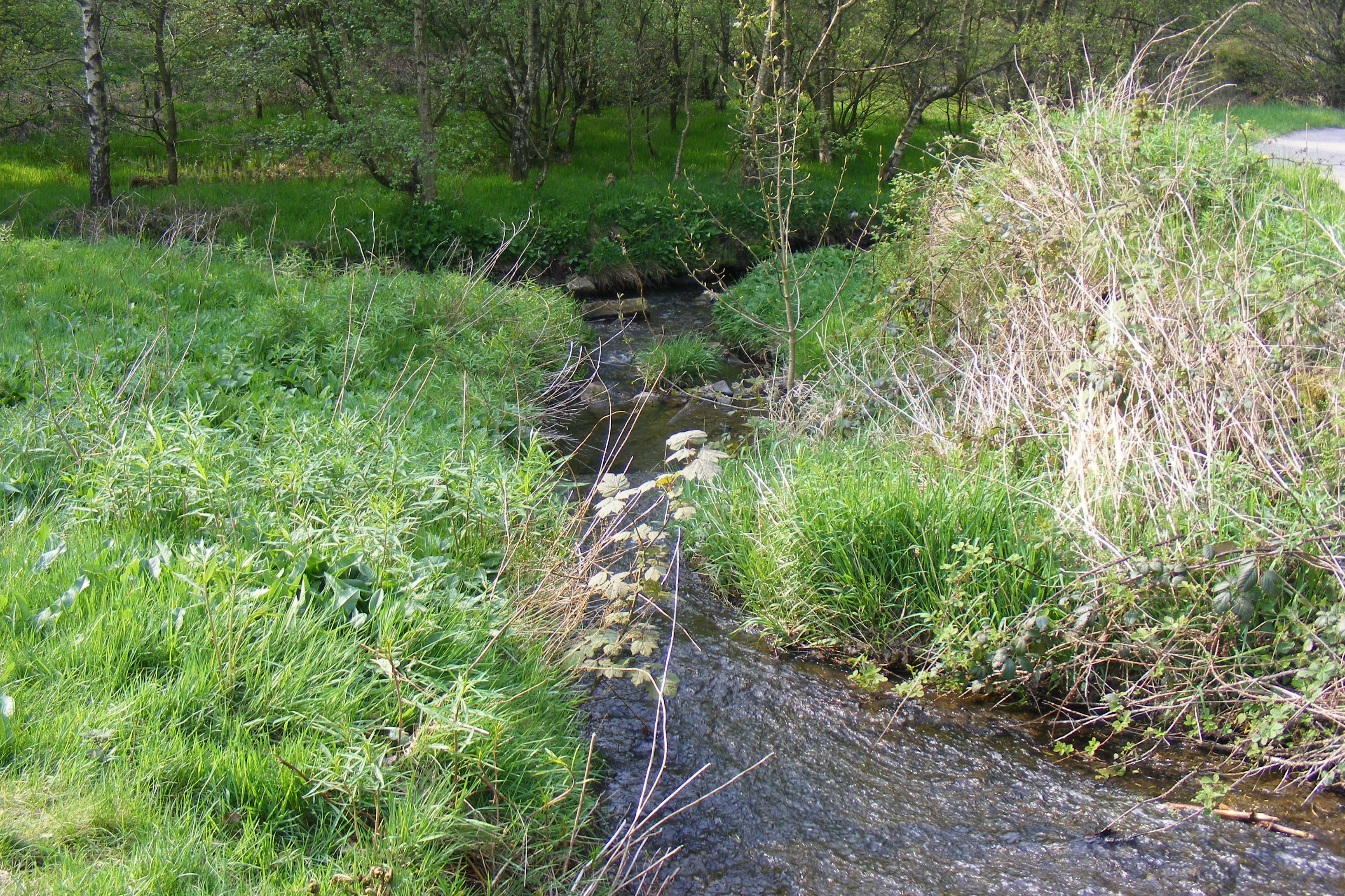
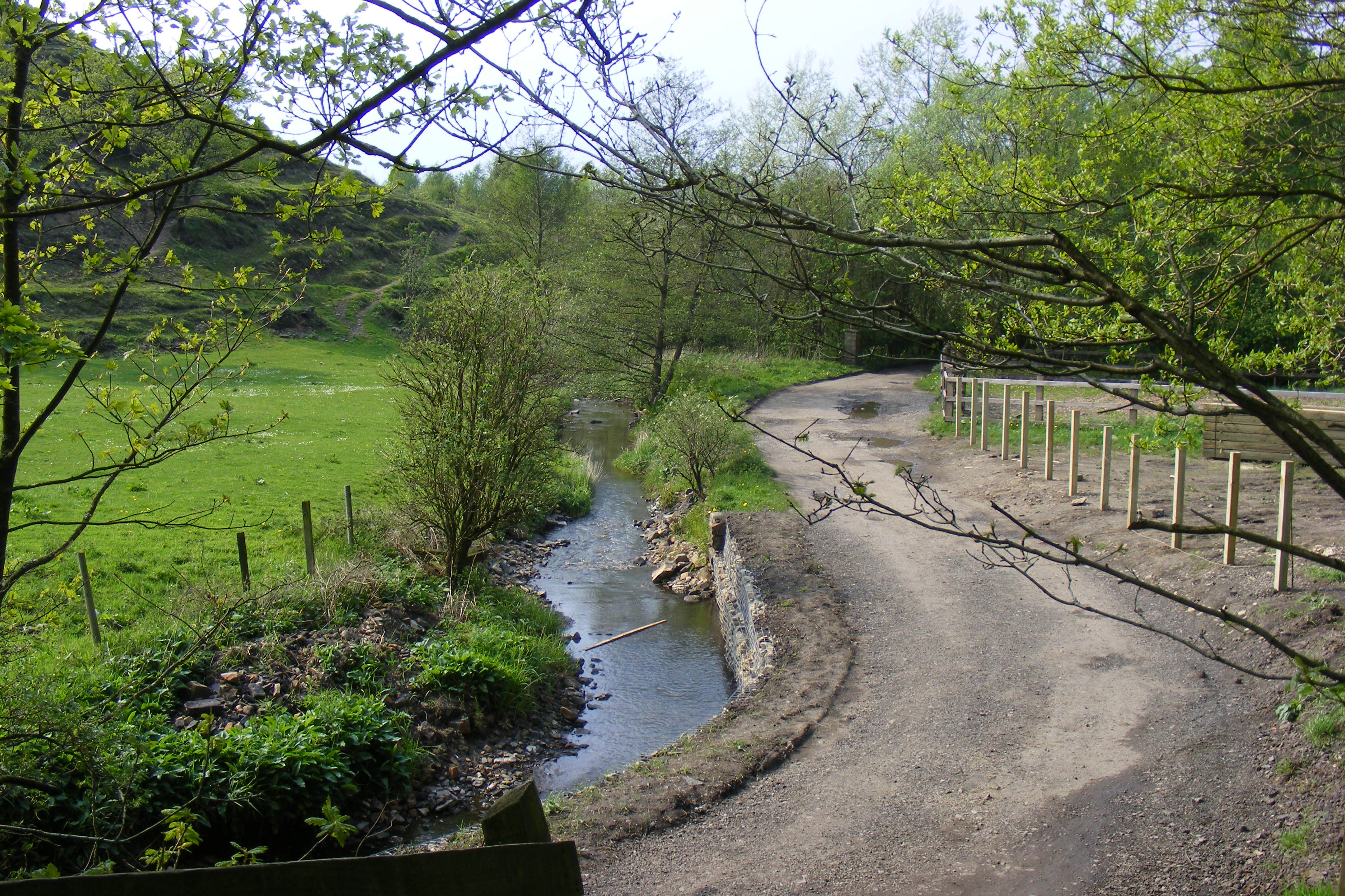
Ealees Wood is a picturesque woodland located in Lancashire, England. Situated near the town of Littleborough, it covers an area of approximately 100 acres and is a popular destination for nature enthusiasts and hikers.

The wood is characterized by its dense foliage and towering trees, which create a tranquil and serene atmosphere. It is home to a diverse range of flora and fauna, including oak, beech, and birch trees, as well as various species of birds, mammals, and insects. The wood's rich biodiversity makes it a haven for wildlife and a perfect spot for birdwatching or simply immersing oneself in nature.

There are several well-maintained walking trails that wind their way through Ealees Wood, allowing visitors to explore its beauty at their own pace. These trails are suitable for all skill levels and offer stunning views of the surrounding countryside.

Additionally, Ealees Wood has a rich cultural and historical significance. It is believed to have been in existence for centuries and has been mentioned in various local folklore and legends. The wood also features the remnants of an ancient Roman road, adding to its historical charm.

Overall, Ealees Wood is a hidden gem in Lancashire, offering a peaceful retreat from the hustle and bustle of everyday life. Whether you are an avid nature lover or simply seeking a place to unwind, this enchanting woodland is definitely worth a visit.

If you have any feedback on the listing, please let us know in the comments section below.
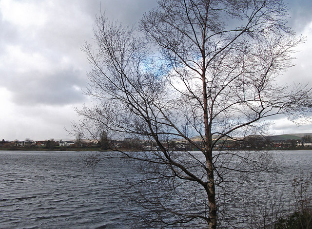
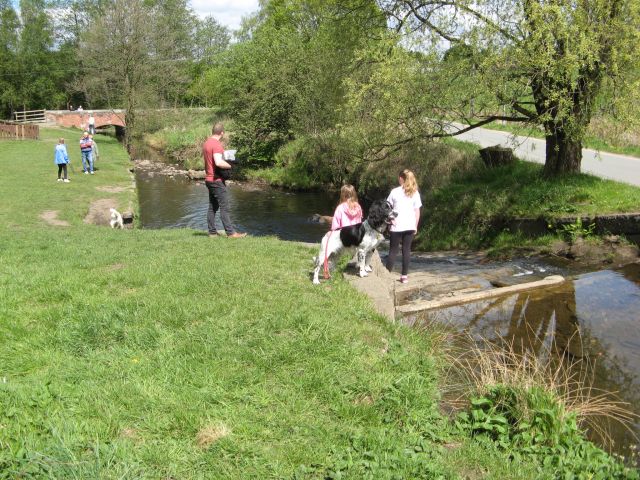
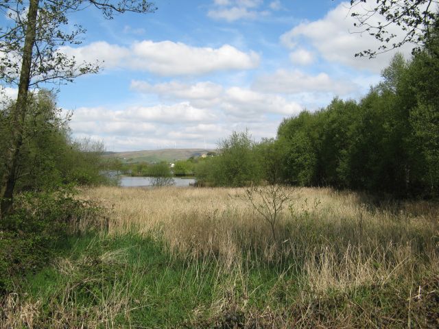
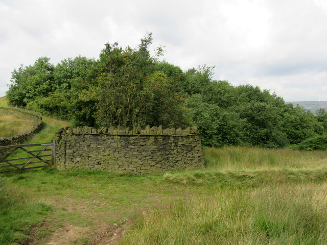
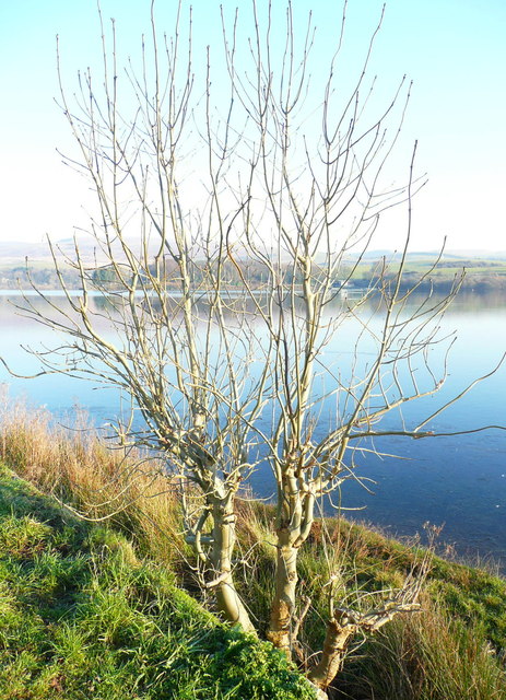
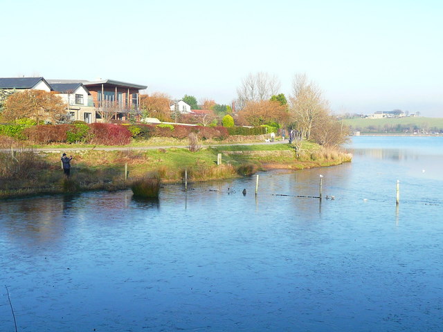
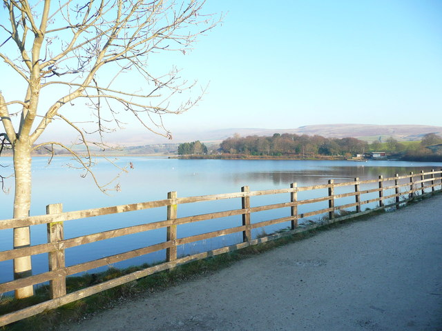
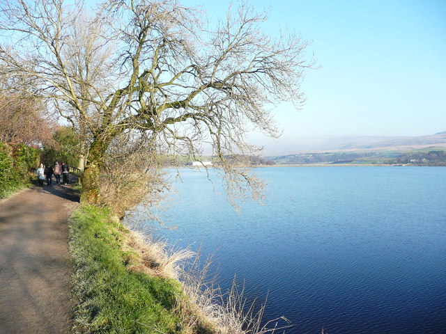
Ealees Wood Images

Images are sourced within 2km of 53.642174/-2.0849085 or Grid Reference SD9416. Thanks to Geograph Open Source API. All images are credited.

Sladen Hill and Longley Hey seen from Halifax Road
Hollingworth Lake with the elevated M62 beyond
Silver birch at Hollingworth Lake Looking north over the lake from a point near the lakeside café.
Silver birch at Hollingworth Lake
Looking north over the lake from a point near the lakeside café.
Car in the Rochdale Canal Just below Sladen Lock. Makes a change from seeing supermarket trolleys.
Car in the Rochdale Canal
Just below Sladen Lock. Makes a change from seeing supermarket trolleys.
Red car in Rochdale Canal Just below Sladen Lock (between Summit and Littleborough) on a very windy day.
Red car in Rochdale Canal
Just below Sladen Lock (between Summit and Littleborough) on a very windy day.
Hollingworth Lake
Hollingworth Lake
Longden End Brook The brook passes over a gauging weir as it approaches Hollingworth Lake, a popular place for swimming dogs, it seems, though my assistant Madog is staying dry for a change.
Longden End Brook
The brook passes over a gauging weir as it approaches Hollingworth Lake, a popular place for swimming dogs, it seems, though my assistant Madog is staying dry for a change.
Wetland view An extensive reed bed is part of the nature reserve at the southern, shallow end of the reservoir, near to the influx of the Longden End Brook.
Wetland view
An extensive reed bed is part of the nature reserve at the southern, shallow end of the reservoir, near to the influx of the Longden End Brook.
Beach view A view of the southern margin of the reservoir, which is mostly shallow.
Beach view
A view of the southern margin of the reservoir, which is mostly shallow.
A58 Church Street, Littleborough
A58 New road, Dearnley
Wall and wood Adjacent to the Pennine Bridleway.
Wall and wood
Adjacent to the Pennine Bridleway.
Path from Hoar Edge down to Clegg Moor, Littleborough This path meets the Pennine Bridleway.
Path from Hoar Edge down to Clegg Moor, Littleborough
This path meets the Pennine Bridleway.
Ash tree, Hollingworth Lake There are several trees alongside the lakeside that have been cut about a metre above ground, prompting the production of a large number of thin branches.
Ash tree, Hollingworth Lake
There are several trees alongside the lakeside that have been cut about a metre above ground, prompting the production of a large number of thin branches.
Houses alongside Hollingworth Lake These houses have a good view of the lake, and have access from a residential road behind.
Houses alongside Hollingworth Lake
These houses have a good view of the lake, and have access from a residential road behind.
View from the lakeside path, Hollingworth Lake
The lakeside path, Hollingworth Lake
The boat yard, Hollingworth Lake
Show me another place!

Ealees Wood is located at Grid Ref: SD9416 (Lat: 53.642174, Lng: -2.0849085)

Unitary Authority: Rochdale

Police Authority: Greater Manchester

What 3 Words

///strut.mock.maple. Near Littleborough, Manchester

Related Wikis

Shore Lane Brook

Shore Lane Brook is a water course in Greater Manchester and a tributary of Ealees Brook in Littleborough.

Hollingworth Brook

Hollingworth Brook is a water course in Greater Manchester which originates at Hollingworth Lake and flows through the Ealees Valley where it merges with...

Brearley Brook

Brearley Brook is a watercourse in Greater Manchester and a tributary of Hollingworth Brook. The original source was on Low House Moor but this has been...

Ealees Brook

Ealees Brook is a water course in Greater Manchester named after the Ealees area of Littleborough. It flows northwards from the Ealees Valley to the River...

Nearby Amenities

Located within 500m of 53.642174,-2.0849085
Littleborough
Is In District: Rochdale
Place: town
Wikidata: Q3835082
Wikipedia: en:Littleborough, Greater Manchester
Lat/Long: 53.6410537/-2.0914019
Seamark Type: gate
Waterway: lock_gate
Lat/Long: 53.6453492/-2.0893253
Seamark Type: gate
Waterway: lock_gate
Lat/Long: 53.6451421/-2.0894107
Seamark Type: gate
Waterway: lock_gate
Lat/Long: 53.6431663/-2.0915844
Seamark Type: gate
Waterway: lock_gate
Lat/Long: 53.6433052/-2.0913077
Bus Stop
Halifax Road/The Rake Inn
Bus: yes
Naptan AtcoCode: 1800NE00331
Naptan Bearing: NE
Naptan CommonName: Halifax Road/The Rake Inn
Naptan Indicator: O/s House 99
Naptan Landmark: HOUSE 99
Naptan NaptanCode: mandtwpt
Naptan PlusbusZoneRef: MNCRPIC
Naptan ShortCommonName: The Rake Inn
Naptan Street: HALIFAX ROAD
Naptan Verified: no
Network: TfGM
Public Transport: platform
Source: naptan_import
Lat/Long: 53.645938/-2.0867262
Bus Stop
Halifax Road/The Rake Inn
Bus: yes
Naptan AtcoCode: 1800NE00341
Naptan Bearing: SW
Naptan CommonName: Halifax Road/The Rake Inn
Naptan Indicator: The Rake Inn
Naptan Landmark: THE RAKE INN
Naptan NaptanCode: mandtwpw
Naptan PlusbusZoneRef: MNCRPIC
Naptan ShortCommonName: The Rake Inn
Naptan Street: HALIFAX ROAD
Naptan Verified: no
Network: TfGM
Public Transport: platform
Source: naptan_import
Lat/Long: 53.646064/-2.0864088
Bus Stop
Blackstone Edge Old Road/The Rake Inn
Bus: yes
Naptan AtcoCode: 1800NE24061
Naptan Bearing: NE
Naptan CommonName: Blackstone Edge Old Road/The Rake Inn
Naptan Indicator: Opp 'the Rake'
Naptan Landmark: THE RAKE INN
Naptan NaptanCode: mangajmg
Naptan PlusbusZoneRef: MNCRPIC
Naptan ShortCommonName: The Rake Inn
Naptan Street: BLACKSTN.EDG.OR
Naptan Verified: no
Network: TfGM
Public Transport: platform
Source: naptan_import
Lat/Long: 53.6459472/-2.0864237
Bus Stop
Halifax Road/Ealees Road
Bus: yes
Naptan AtcoCode: 1800NE24081
Naptan Bearing: NE
Naptan CommonName: Halifax Road/Ealees Road
Naptan Indicator: O/s House 31
Naptan Landmark: HOUSE 27
Naptan NaptanCode: mangajmj
Naptan PlusbusZoneRef: MNCRPIC
Naptan ShortCommonName: Ealees Road
Naptan Street: HALIFAX ROAD
Naptan Verified: no
Network: TfGM
Public Transport: platform
Source: naptan_import
Lat/Long: 53.6442988/-2.0911248
Bus Stop
Halifax Road/Ealees Road
Bus: yes
Naptan AtcoCode: 1800NE24091
Naptan Bearing: SW
Naptan CommonName: Halifax Road/Ealees Road
Naptan Indicator: O/s House 10
Naptan Landmark: HOUSE 10
Naptan NaptanCode: mangajmp
Naptan PlusbusZoneRef: MNCRPIC
Naptan ShortCommonName: Ealees Road
Naptan Street: HALIFAX ROAD
Naptan Verified: no
Network: TfGM
Public Transport: platform
Source: naptan_import
Lat/Long: 53.6439568/-2.0917291
Bus Stop
Blackstone Edge Old Road/The Rake Inn
Bus: yes
Naptan AtcoCode: 1800NE07331
Naptan Bearing: SW
Naptan CommonName: Blackstone Edge Old Road/The Rake Inn
Naptan Indicator: Opp 'the Rake'
Naptan Landmark: THE RAKE INN
Naptan NaptanCode: mantgtgm
Naptan PlusbusZoneRef: MNCRPIC
Naptan ShortCommonName: The Rake Inn
Naptan Street: BLACKSTN.EDG.OR
Naptan Verified: no
Network: TfGM
Public Transport: platform
Source: naptan_import
Lat/Long: 53.6459741/-2.0865145
Barrier: yes
Lat/Long: 53.6439943/-2.0802884
Barrier: kissing_gate
Bicycle: dismount
Foot: yes
Horse: no
Material: metal
Motor Vehicle: no
Lat/Long: 53.6386574/-2.0866305
Generator Method: photovoltaic
Generator Output Electricity: yes
Generator Source: solar
Generator Type: solar_photovoltaic_panel
Location: roof
Power: generator
Lat/Long: 53.6466307/-2.0848224
The data included in this document is from www.openstreetmap.org. The data is made available under ODbL.

Have you been to Ealees Wood?

Leave your review of Ealees Wood below (or comments, questions and feedback).