Andover's Belt

Wood, Forest in Wiltshire

England

Andover's Belt

Charlton War Memorial
Charlton War Memorial Credit: Alan Hughes

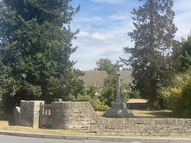
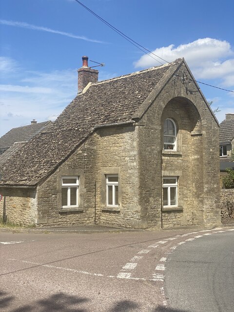
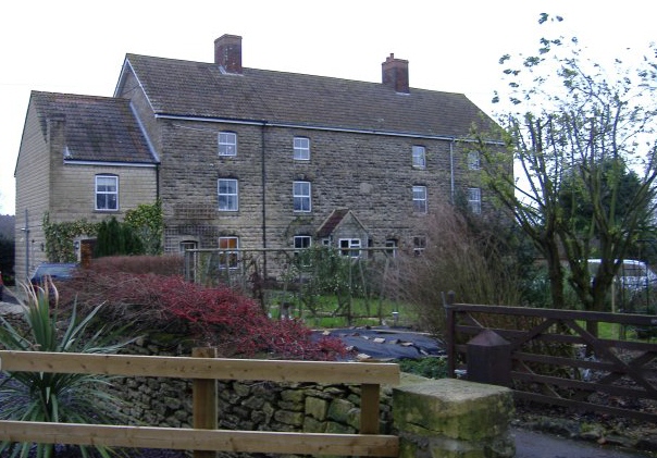
Andover's Belt is a forested area located in the county of Wiltshire, England. Situated near the town of Andover, it spans over a significant stretch of land and is known for its dense woodlands and natural beauty. The Belt is an integral part of Andover's landscape and has been well-preserved over the years, attracting nature enthusiasts, hikers, and wildlife lovers.

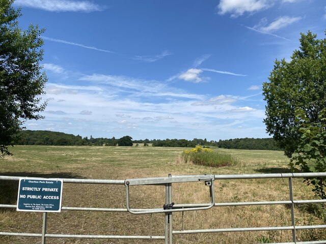
Covering an area of approximately [insert specific area], Andover's Belt is characterized by a variety of tree species, including oak, beech, and pine, among others. The forest is home to a diverse range of flora and fauna, making it an important habitat for wildlife. Visitors to Andover's Belt can expect to encounter various bird species, mammals, and insects, as well as an abundance of wildflowers and plant life.

The forest offers a network of well-marked trails and footpaths, making it an ideal destination for outdoor activities such as hiking, walking, and cycling. These paths allow visitors to explore the forest's different areas, providing scenic views, peaceful surroundings, and an opportunity to immerse themselves in nature.

Andover's Belt also holds historical significance, with evidence of human activity dating back centuries. Archaeological remains such as ancient burial mounds and earthworks can be found within the forest, adding an element of cultural interest to the area.

Overall, Andover's Belt is a cherished natural resource, offering both recreational opportunities and a haven for wildlife. Its combination of stunning woodlands, diverse ecosystems, and historical significance make it a must-visit destination for nature enthusiasts and those seeking tranquility in the heart of Wiltshire.

If you have any feedback on the listing, please let us know in the comments section below.

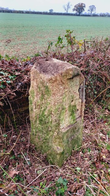
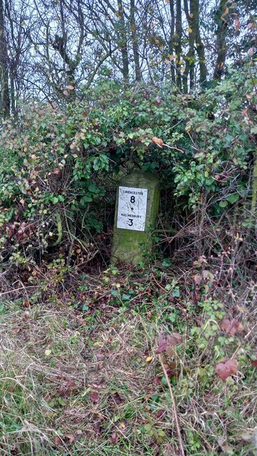
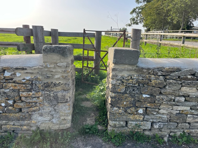
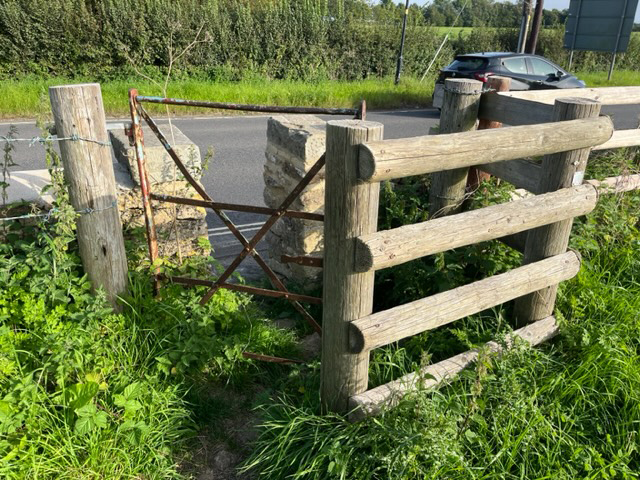
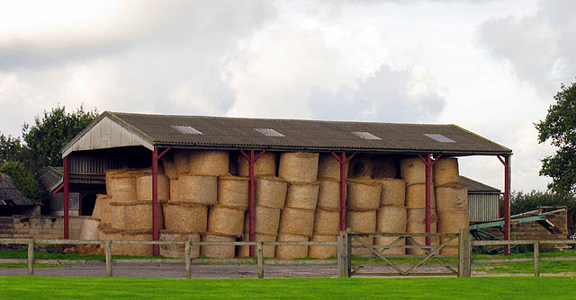
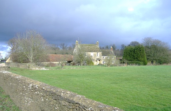
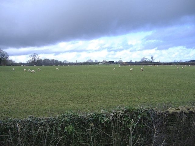
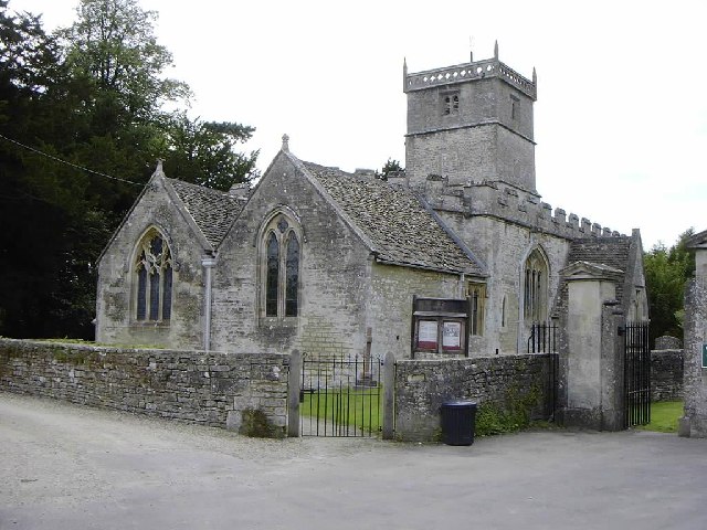
Andover's Belt Images

Images are sourced within 2km of 51.605353/-2.0810729 or Grid Reference ST9489. Thanks to Geograph Open Source API. All images are credited.

Charlton War Memorial
Turnpike Cottage, Charlton
Entrance to Charlton Park Estate
Private Estate Charlton Park.
Private Estate
Charlton Park.
Old Milestone, Malmesbury A429 On the NW verge of Crudwell Road (A429), near the main entrance to Charlton Park Estate. 
Erected by the Malmesbury First District Turnpike Trust (19ᵗʰ Century)

Inscription (probably): Cirencester 9 / Malmesbury 2

Milestone Society National ID: WI_MYCI02
Old Milestone, Malmesbury A429
On the NW verge of Crudwell Road (A429), near the main entrance to Charlton Park Estate. Erected by the Malmesbury First District Turnpike Trust (19ᵗʰ Century) Inscription (probably): Cirencester 9 / Malmesbury 2 Milestone Society National ID: WI_MYCI02
Old Milestone, Malmesbury A429 Old Milestone by the A429, south of Crudwell
Metal plate attached to stone post by the A429, in parish of Hankerton (North Wiltshire District), Crudwell Road; South of Murcott turn, by the road, on West side of road. Malmesbury First plate, erected by the Malmesbury - First District turnpike trust in the 19th century. Modern plate now.

Inscription: CIRENCESTER / 8 / MALMESBURY / 3 
Carved benchmark  representing 107.7 m ASL.

Grade II listed Nᴼ. 1022249 <span class="nowrap"><a title="https://historicengland.org.uk/listing/the-list/list-entry/1022249" rel="nofollow ugc noopener" href="https://historicengland.org.uk/listing/the-list/list-entry/1022249">Link</a><img style="margin-left:2px;" alt="External link" title="External link - shift click to open in new window" src="https://s1.geograph.org.uk/img/external.png" width="10" height="10"/></span>

Milestone Society National ID: WI_MYCI03
Old Milestone, Malmesbury A429
Old Milestone by the A429, south of Crudwell Metal plate attached to stone post by the A429, in parish of Hankerton (North Wiltshire District), Crudwell Road; South of Murcott turn, by the road, on West side of road. Malmesbury First plate, erected by the Malmesbury - First District turnpike trust in the 19th century. Modern plate now. Inscription: CIRENCESTER / 8 / MALMESBURY / 3 Carved benchmark representing 107.7 m ASL. Grade II listed Nᴼ. 1022249 LinkExternal link Milestone Society National ID: WI_MYCI03
Stone Stile, Malmesbury On Wiltshire footpath MALM3 looking from the B4040. The view East is <a href="https://www.geograph.org.uk/photo/7596357">ST9387 : Stone Stile, Malmesbury</a>.
Stone Stile, Malmesbury
On Wiltshire footpath MALM3 looking from the B4040. The view East is ST9387 : Stone Stile, Malmesbury.
Stone Stile, Malmesbury On Wiltshire footpath MALM3 looking to the B4040. The view West is <a href="https://www.geograph.org.uk/photo/7596356">ST9387 : Stone Stile, Malmesbury</a>.
Stone Stile, Malmesbury
On Wiltshire footpath MALM3 looking to the B4040. The view West is ST9387 : Stone Stile, Malmesbury.
Charlton,  Malmesbury, Wiltshire The parish church of Charlton village is dedicated to St John the Baptist.
Charlton, Malmesbury, Wiltshire
The parish church of Charlton village is dedicated to St John the Baptist.
Barn near Malmesbury This farm is on the outskirts of Malmesbury en route to Tetbury. The area is mostly farming.
Barn near Malmesbury
This farm is on the outskirts of Malmesbury en route to Tetbury. The area is mostly farming.
Charlton Park near Malmesbury The house was originally seat of the Earl of Suffolk, now is apartments. It is Jacobean in origin and partly open to the public one afternoon per week in the summer.
Charlton Park near Malmesbury
The house was originally seat of the Earl of Suffolk, now is apartments. It is Jacobean in origin and partly open to the public one afternoon per week in the summer.
Rainbow near Crudwell
Fields north of Milbourne A typical glimpse of north Wiltshire countryside.
Fields north of Milbourne
A typical glimpse of north Wiltshire countryside.
Single track road A country lane, leading north from Charlton, to join the A429 to Cirencester.
Single track road
A country lane, leading north from Charlton, to join the A429 to Cirencester.
War memorial, Charlton Located at the main village crossroads.
War memorial, Charlton
Located at the main village crossroads.
Home farm, Charlton Park Part of an extensive former estate, situated next to the A429.
Home farm, Charlton Park
Part of an extensive former estate, situated next to the A429.
Gatehouse at Charlton Park One of the formal entrance gates to this large estate, owned by the Earl of Suffolk and Berks. The estate has been very active, commercially, selling apartments in the main house, developing a business park, and selling land for housing development in the nearby town of Malmesbury.
Gatehouse at Charlton Park
One of the formal entrance gates to this large estate, owned by the Earl of Suffolk and Berks. The estate has been very active, commercially, selling apartments in the main house, developing a business park, and selling land for housing development in the nearby town of Malmesbury.
Griffiths Barn farm Sheep graze under rain-laden skies, near the A429, north of Malmesbury.
Griffiths Barn farm
Sheep graze under rain-laden skies, near the A429, north of Malmesbury.
Show me another place!

Andover's Belt is located at Grid Ref: ST9489 (Lat: 51.605353, Lng: -2.0810729)

Unitary Authority: Wiltshire

Police Authority: Wiltshire

What 3 Words

///wagers.screamed.watchdogs. Near Charlton, Wiltshire

Related Wikis

Charlton Park, Wiltshire

Charlton Park is a country house and estate in Wiltshire, England, 2 miles (3.2 km) northeast of the town of Malmesbury. Charlton Park House is a Grade...

WOMAD Charlton Park

WOMAD Charlton Park or WOMAD UK is the name given to the World of Music Arts and Dance (WOMAD) festival held in Charlton Park near Malmesbury, Wiltshire...

Charlton, Brinkworth

Charlton is a village and civil parish in North Wiltshire, England, about 2 miles (3 km) northeast of Malmesbury and 4 miles (6.4 km) northwest of the...

Milbourne, Wiltshire

Milbourne is a hamlet on the eastern edge of Malmesbury, Wiltshire, England. It is within the civil parish of St Paul Malmesbury Without. The hamlet consists...

Nearby Amenities

Located within 500m of 51.605353,-2.0810729
The data included in this document is from www.openstreetmap.org. The data is made available under ODbL.

Have you been to Andover's Belt?

Leave your review of Andover's Belt below (or comments, questions and feedback).