Beech Walk
Wood, Forest in Wiltshire
England
Beech Walk
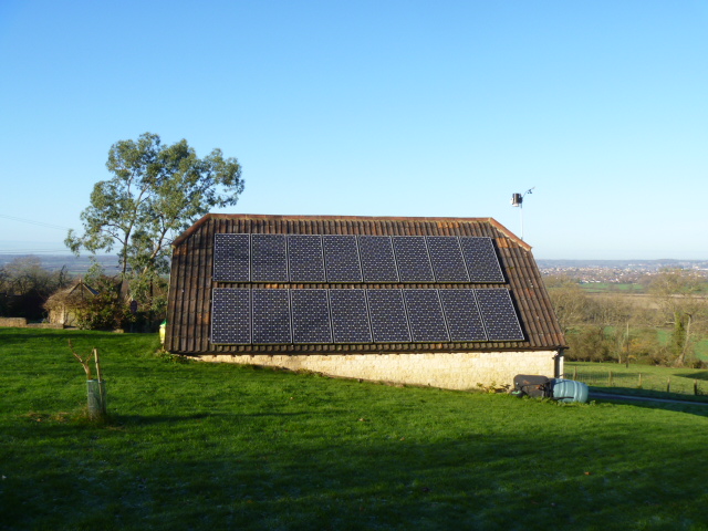
Beech Walk is a picturesque woodland located in Wiltshire, England. It is renowned for its dense beech tree population, which gives the area its name. Spanning approximately 100 acres, this forest is a popular destination for nature lovers, hikers, and photographers.
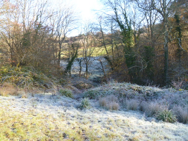
The forest is characterized by its tall and majestic beech trees, which create a dense canopy overhead, providing shade and shelter for various wildlife species. The rich biodiversity of Beech Walk attracts a wide range of flora and fauna, making it a perfect spot for nature enthusiasts to explore and admire. Visitors can expect to see an array of bird species, such as woodpeckers and owls, as well as small mammals like squirrels and rabbits.
The forest features well-maintained walking trails, allowing visitors to immerse themselves in the natural beauty of the surroundings. The pathways wind through the woodland, leading visitors to tranquil spots, hidden clearings, and breathtaking viewpoints. Whether it's a leisurely stroll or a more challenging hike, Beech Walk offers options for all abilities.
The beauty of Beech Walk is particularly striking during the autumn months when the beech trees transform into a vibrant display of reds, oranges, and yellows. This spectacle attracts numerous photographers and nature enthusiasts who flock to the forest to capture its enchanting beauty.
Beech Walk is a true gem in Wiltshire, offering a peaceful and idyllic escape from the hustle and bustle of everyday life. It is a place where visitors can connect with nature, enjoy the serenity of the woodland, and experience the wonders of the natural world.
If you have any feedback on the listing, please let us know in the comments section below.
Beech Walk Images
Images are sourced within 2km of 51.41727/-2.0811125 or Grid Reference ST9468. Thanks to Geograph Open Source API. All images are credited.
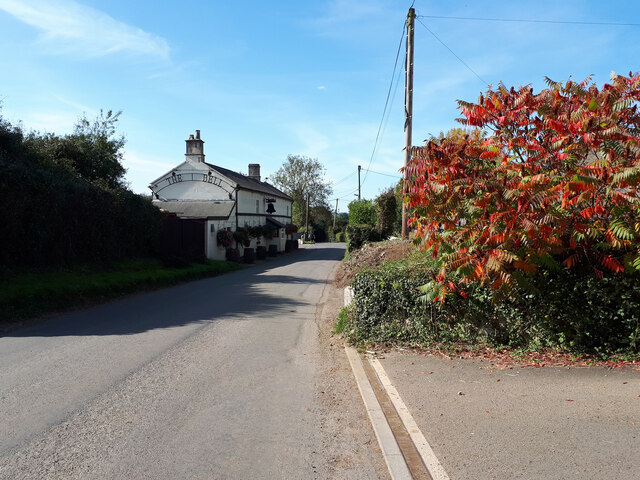
![Footpath to Derry Hill [1] From Nocketts Hill, the footpath runs to the A342 road at Golden Gates, Derry Hill.](https://s2.geograph.org.uk/geophotos/04/26/99/4269938_590f9257.jpg)
![Footpath to Derry Hill [2] After leaving Nocketts Hill, the footpath to Derry Hill runs alongside this unnamed patch of woodland.](https://s3.geograph.org.uk/geophotos/04/26/99/4269939_553707ba.jpg)
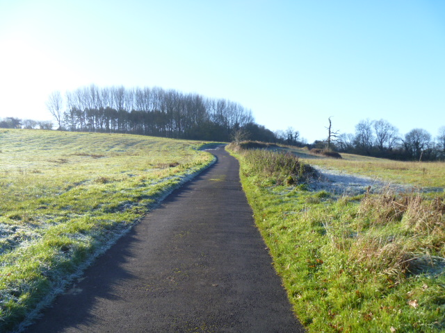
![Footpath to Derry Hill [3] The footpath descends steeply to cross Cocklemore Brook before ascending to Golden Gate at Derry Hill.](https://s0.geograph.org.uk/geophotos/04/26/99/4269948_2013380a.jpg)
![Over the brook [1] The footpath crosses Cocklemore Brook by way of this bridge.](https://s0.geograph.org.uk/geophotos/04/26/99/4269956_821f5cec.jpg)
![Over the brook [2] The footpath crosses Cocklemore Brook by way of this bridge.](https://s1.geograph.org.uk/geophotos/04/26/99/4269957_595c3ea7.jpg)
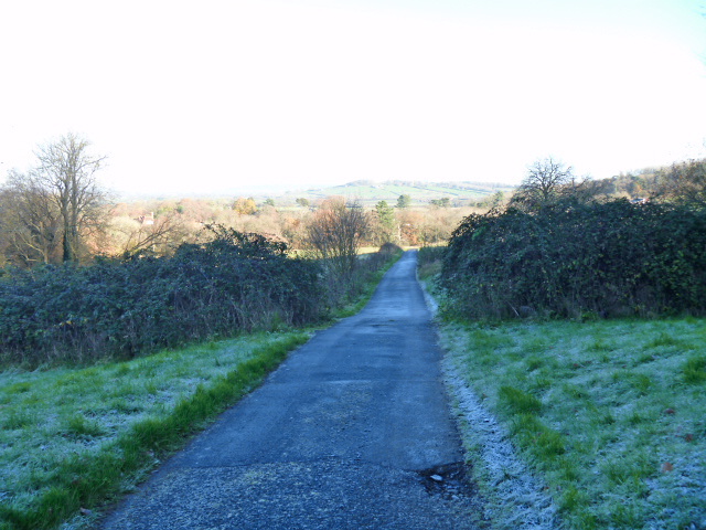
![Footpath to Derry Hill [4] The footpath has crossed Cocklemore Brook and is now ascending towards Derry Hill. The Bowood Estate has erected a number of these public footpath signs.](https://s1.geograph.org.uk/geophotos/04/26/99/4269965_06760872.jpg)
Beech Walk is located at Grid Ref: ST9468 (Lat: 51.41727, Lng: -2.0811125)
Unitary Authority: Wiltshire
Police Authority: Wiltshire
What 3 Words
///grower.outgrown.trunk. Near Lacock, Wiltshire
Nearby Locations
Related Wikis

Bowden Hill
Bowden Hill is a village in Wiltshire, England, in Lacock parish about 3+1⁄2 miles (6 km) south of Chippenham and 1+1⁄2 miles (2.4 km) to the east of Lacock...

Bewley Common
Bewley Common is a hamlet in Wiltshire, England. It lies in the civil parish of Lacock, west of Bowden Hill and about 1 mile (1.6 km) east of Lacock village...
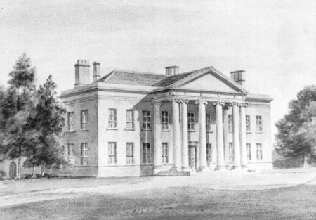
Spye Park
Spye Park is a former country estate in Bromham parish in Wiltshire, England. It lies north of Chittoe, about 1.5 miles (2.4 km) north-west of Bromham...

Cocklemore Brook
The Cocklemore Brook is a short tributary of the Bristol Avon, some 2.5 miles (4.0 km) long. It rises near Studley in Wiltshire, England, and flows in...

Sandy Lane, Wiltshire
Sandy Lane is a small village in Wiltshire, England, about 4.5 miles (7 km) south-east of Chippenham and 3 miles (5 km) south-west of Calne. It lies on...

History of Lacock
Lacock, England was first mentioned in the Domesday Book in 1086 with a population of less than 200, two small mills and a vineyard. The village's main...

Lacock Abbey
Lacock Abbey in the village of Lacock, Wiltshire, England, was founded in the early 13th century by Ela, Countess of Salisbury, as a nunnery of the Augustinian...
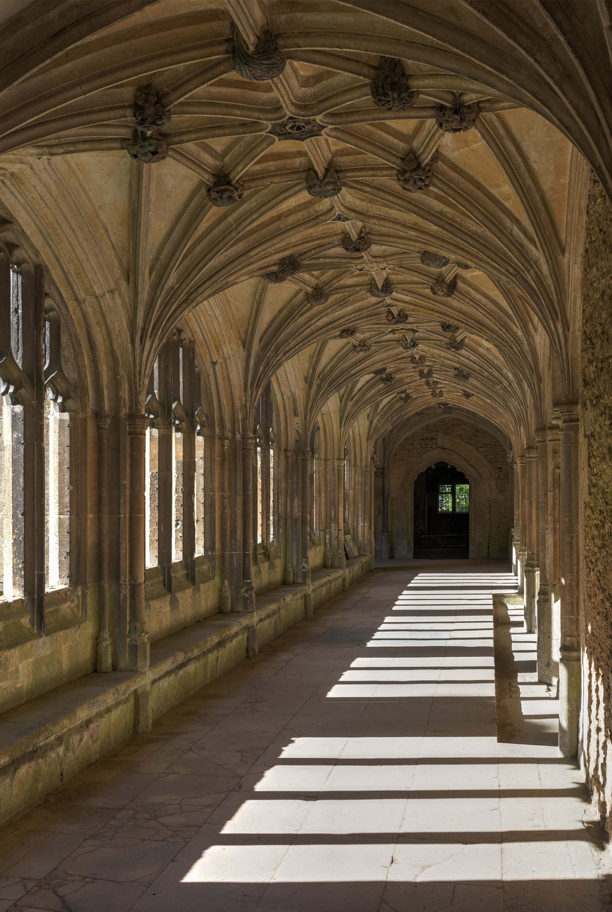
Lacock Abbey (monastery)
Lacock Abbey was a monastery founded at Lacock, in the county of Wiltshire in England, in the early 13th century by Ela, Countess of Salisbury, as a house...
Nearby Amenities
Located within 500m of 51.41727,-2.0811125Have you been to Beech Walk?
Leave your review of Beech Walk below (or comments, questions and feedback).