Holbourne Wood
Wood, Forest in Worcestershire Bromsgrove
England
Holbourne Wood

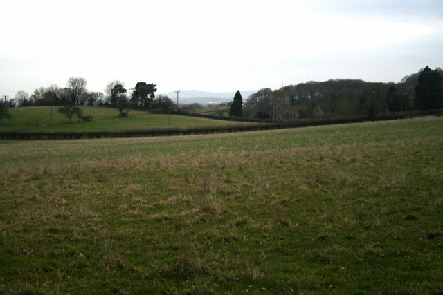
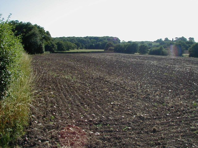
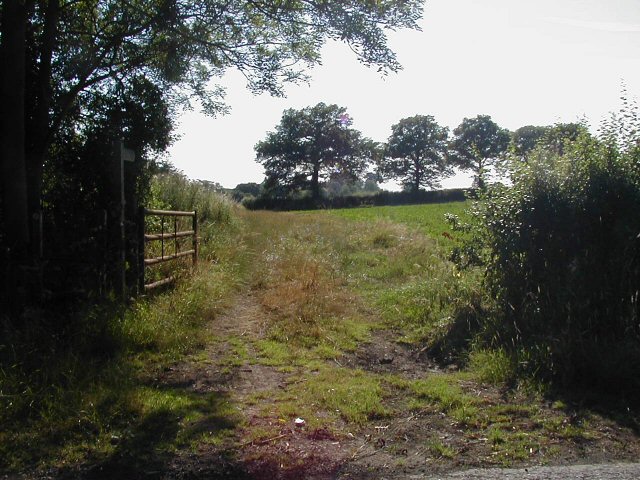
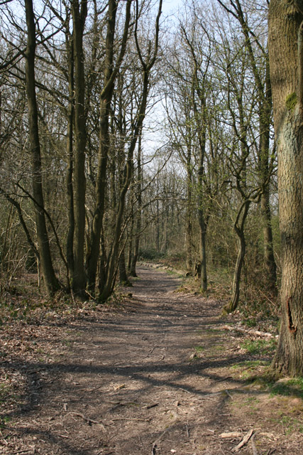
Holbourne Wood is a picturesque woodland area located in Worcestershire, England. Covering an area of approximately 60 acres, it is a delightful spot for nature enthusiasts and those seeking tranquility amidst the beauty of the countryside.
The wood is characterized by a diverse range of tree species, including oak, beech, ash, and birch, which create a rich and varied canopy. The forest floor is adorned with an array of wildflowers, ferns, and mosses, adding to the enchanting atmosphere. The wood is also home to a variety of wildlife, including deer, rabbits, squirrels, and a multitude of bird species.
Walking trails wind their way through the wood, offering visitors the opportunity to explore and appreciate the natural surroundings. The paths are well-maintained, making it accessible for people of all ages and abilities. The wood is particularly popular in the springtime when bluebells carpet the forest floor, creating a breathtaking vista.
Holbourne Wood is a haven for birdwatchers, with many species making their home here. Common sightings include woodpeckers, owls, and various songbirds. The peaceful atmosphere and abundance of birdlife make it an ideal destination for birdwatching enthusiasts.
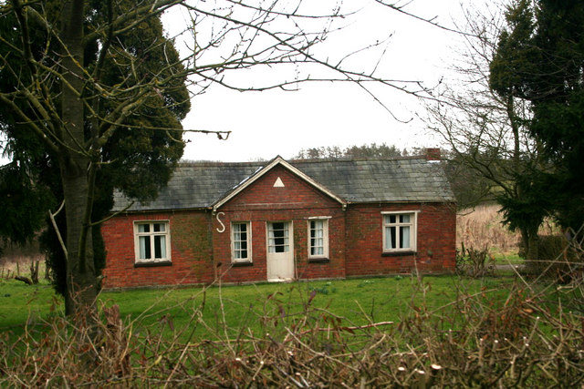
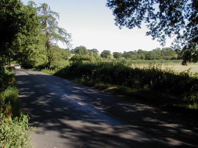
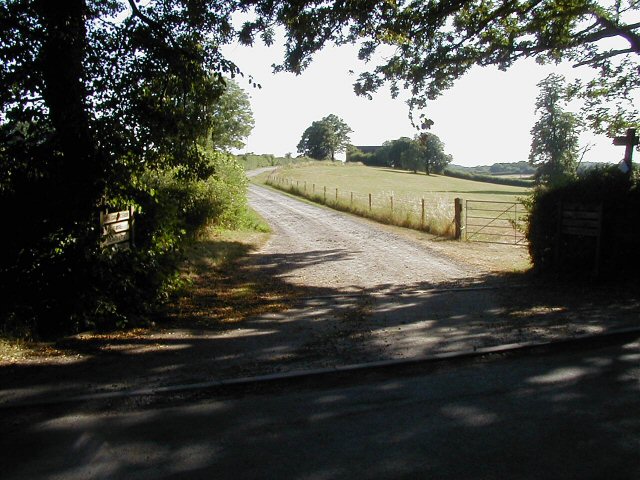
The wood is easily accessible, with ample parking available nearby. It is a popular spot for picnicking, with several picnic tables scattered throughout the area. Visitors are encouraged to take their litter home, ensuring the woodland remains clean and pristine for all to enjoy.
Overall, Holbourne Wood is a hidden gem in Worcestershire, offering a peaceful retreat for nature lovers and providing a glimpse into the splendor of the English countryside.
If you have any feedback on the listing, please let us know in the comments section below.
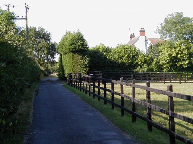
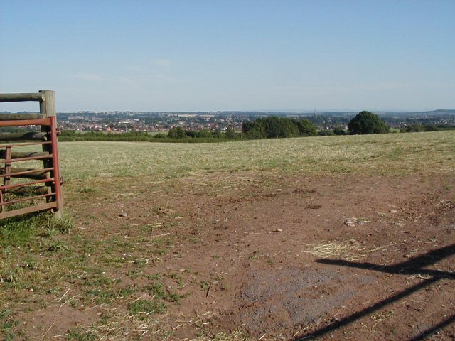
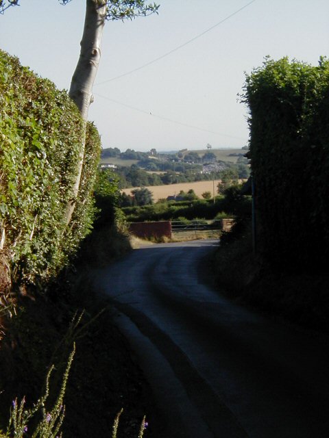
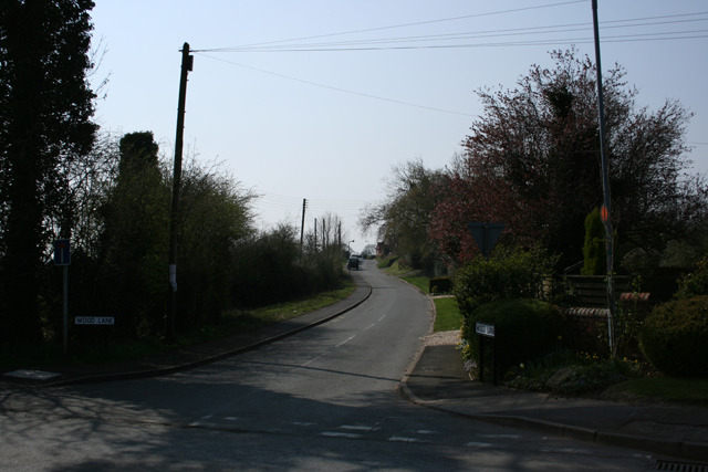
Holbourne Wood Images
Images are sourced within 2km of 52.359113/-2.0863262 or Grid Reference SO9473. Thanks to Geograph Open Source API. All images are credited.


Holbourne Wood is located at Grid Ref: SO9473 (Lat: 52.359113, Lng: -2.0863262)
Administrative County: Worcestershire
District: Bromsgrove
Police Authority: West Mercia
What 3 Words
///sniff.intent.glass. Near Bromsgrove, Worcestershire
Nearby Locations
Related Wikis

Bournheath
Bournheath is a village and civil parish in the Bromsgrove District of Worcestershire, England, about three miles north of Bromsgrove. According to the...

Alfred's Well, Worcestershire
Alfred's Well is a hamlet in the civil parish of Dodford in the Bromsgrove District of Worcestershire, England. Its nearest town is Bromsgrove. == References... ==
Dodford Priory
Dodford Priory in the parish of Bromsgrove in Worcestershire in the current village of Dodford, was a small Augustinian monastery. == History == It was...

Rosedene
Rosedene is a cottage built as part of the Great Dodford Chartist settlement. It is the best preserved example of a Chartist cottage built by the National...

Dodford, Worcestershire
Dodford is a village in the Bromsgrove district of Worcestershire, England, approximately 3 miles (4.8 km) west of Bromsgrove, officially founded on 2...
Fairfield, Worcestershire
Fairfield is a village in the district of Bromsgrove, Worcestershire, England. It is in the civil parish of Belbroughton. The village of Fairfield and...

Catshill
Catshill is a village in Worcestershire about 2.5 miles north of Bromsgrove and 10 miles south-west of Birmingham. The parish of Catshill was formed around...
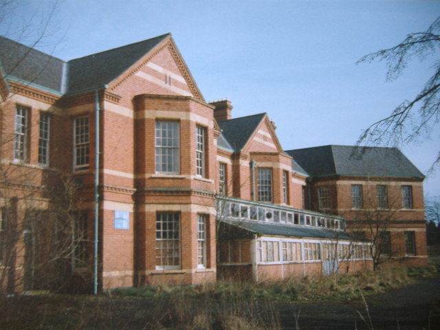
Barnsley Hall Hospital
Barnsley Hall Hospital was a psychiatric facility located in Bromsgrove, Worcestershire. == History == The hospital was based on a 324-acre (131 ha) site...
Nearby Amenities
Located within 500m of 52.359113,-2.0863262Have you been to Holbourne Wood?
Leave your review of Holbourne Wood below (or comments, questions and feedback).