Firth Wood

Wood, Forest in Yorkshire Craven

England

Firth Wood

View east from near Redmire Pot
View east from near Redmire Pot Credit: shikari

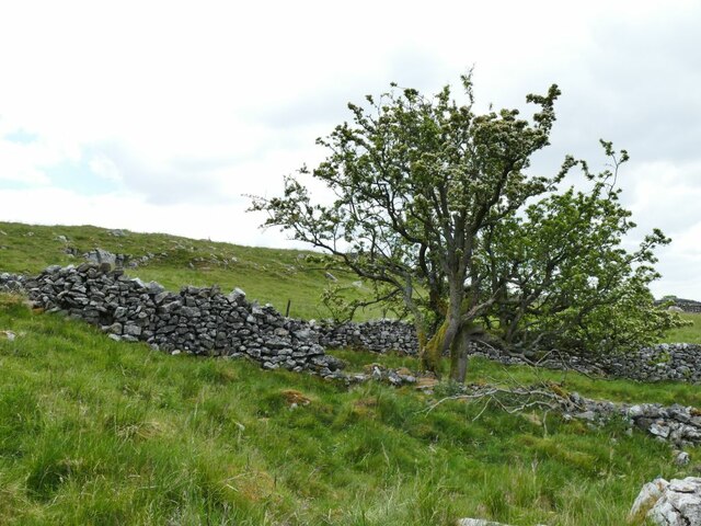
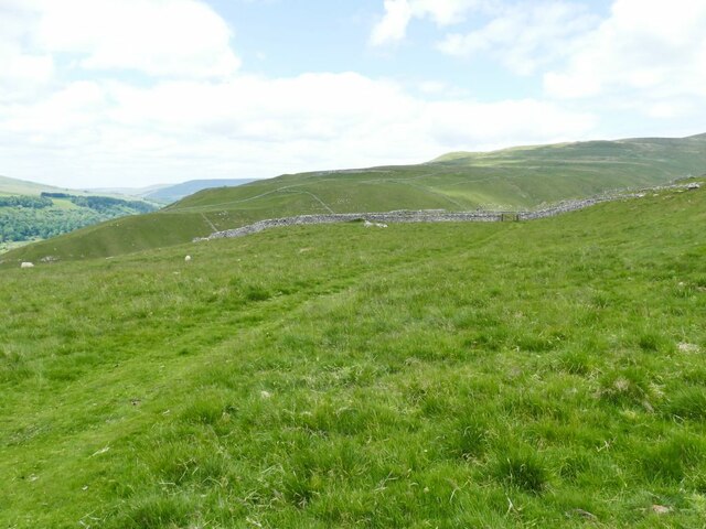
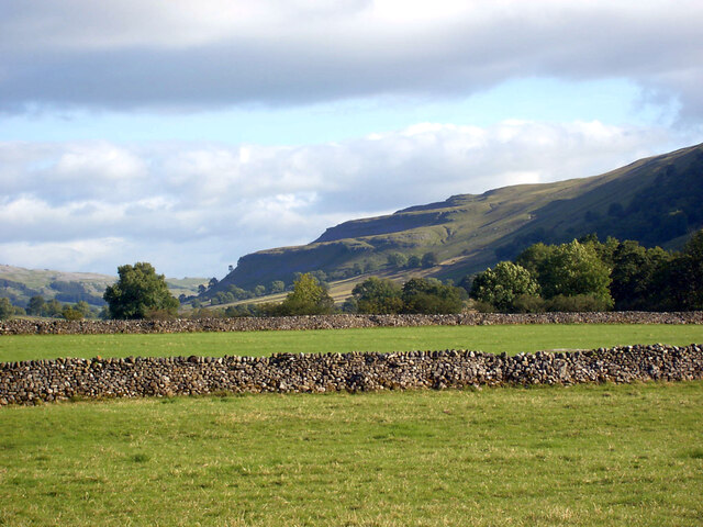
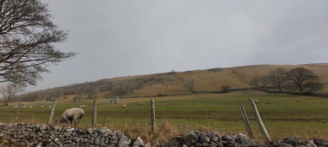
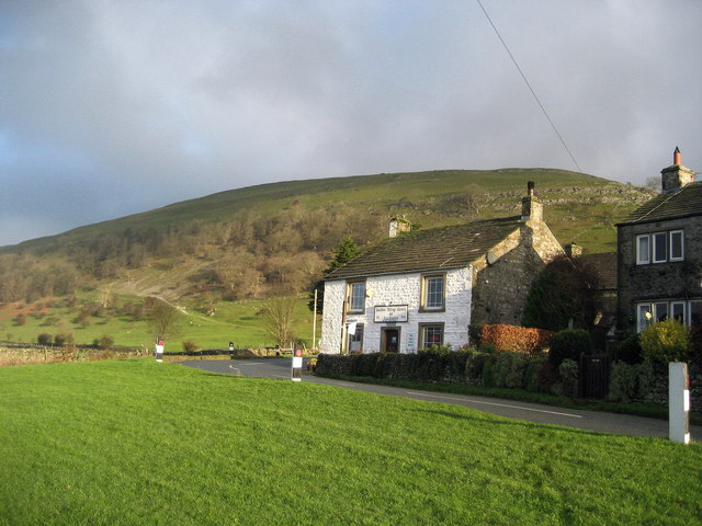
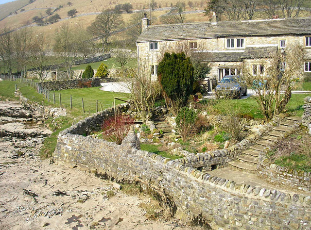
Firth Wood is a picturesque woodland located in Yorkshire, England. It is situated near the village of Firth and covers an area of approximately 100 acres. The wood is predominantly composed of mature deciduous trees, creating a serene and enchanting environment for visitors.

The woodland is home to a diverse range of flora and fauna, making it a popular spot for nature enthusiasts and wildlife photographers. The tree canopy provides a habitat for various bird species, including woodpeckers, owls, and songbirds. Visitors may also spot small mammals such as squirrels, rabbits, and hedgehogs scurrying through the undergrowth.

Firth Wood offers a network of well-maintained walking trails, allowing visitors to explore its natural beauty at their own pace. The paths meander through the wood, taking visitors past ancient trees, vibrant wildflowers, and babbling brooks. The wood also features a small pond, which attracts a variety of aquatic life, including frogs and dragonflies.

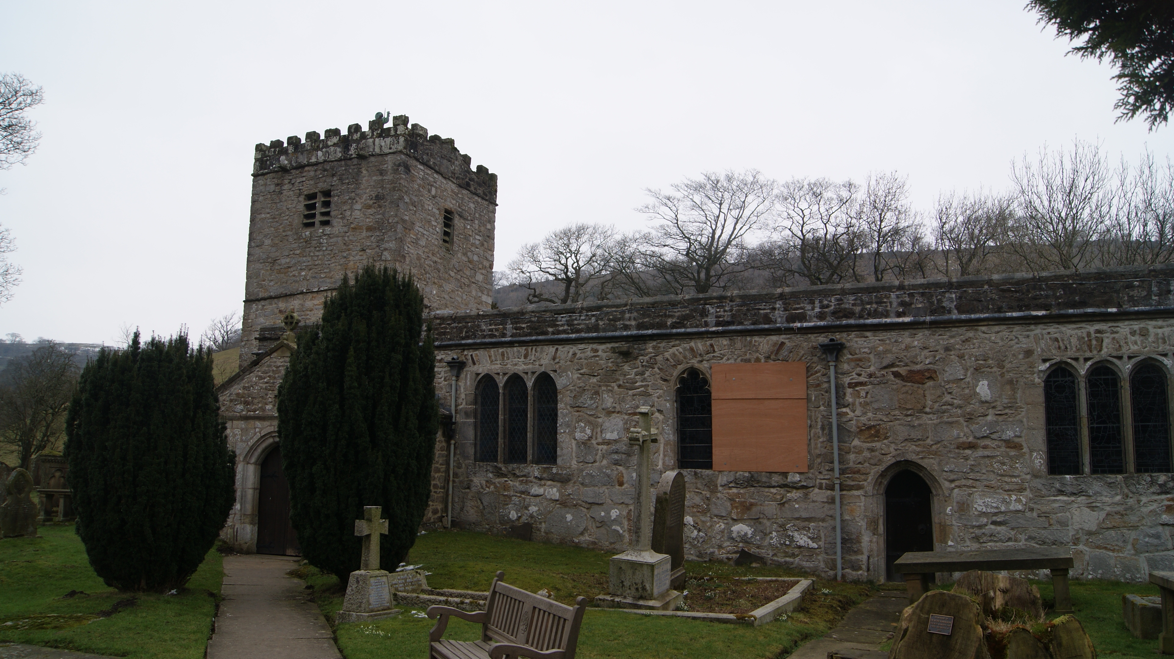
In addition to its natural beauty, Firth Wood holds historical significance as well. The wood was once part of a hunting estate during medieval times and remnants of old hunting lodges can still be found within its boundaries. These historical structures provide a glimpse into the past and add an element of intrigue to the woodland experience.

Overall, Firth Wood is a captivating destination that offers a peaceful retreat from the hustle and bustle of everyday life. Whether it's for a leisurely walk, birdwatching, or simply enjoying the tranquility of nature, Firth Wood provides a delightful experience for visitors of all ages.

If you have any feedback on the listing, please let us know in the comments section below.
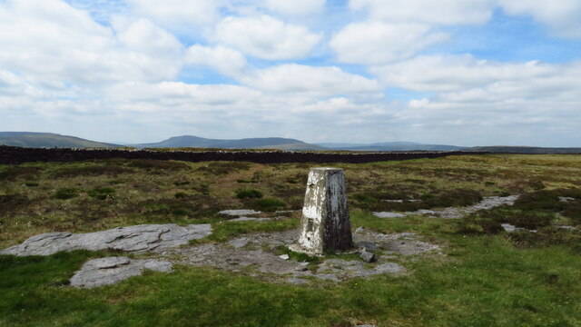
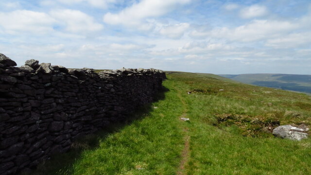
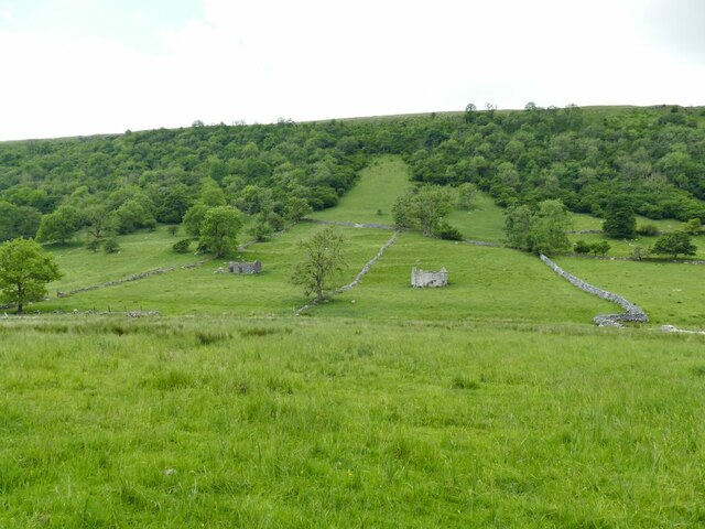
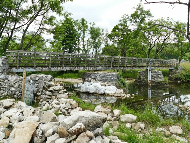
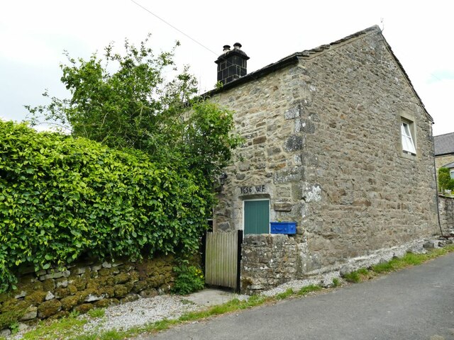
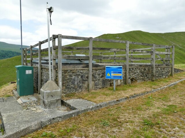
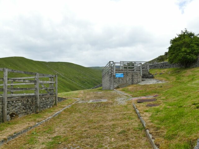
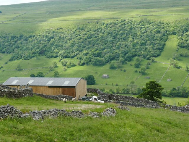
Firth Wood Images

Images are sourced within 2km of 54.173735/-2.0901023 or Grid Reference SD9475. Thanks to Geograph Open Source API. All images are credited.

View east from near Redmire Pot
Redmire Pot sinkhole from the path
Redmire Pot sinkhole/entrance
Trig point on Firth Fell
Path along Old Cote Moor Top A reasonable path runs along the whole ridge parallel with the wall on the north eastern side. This is not shown on Ordnance Survey Maps.
Path along Old Cote Moor Top
A reasonable path runs along the whole ridge parallel with the wall on the north eastern side. This is not shown on Ordnance Survey Maps.
Descending southeast from Old Cote Moor Top A reasonable path runs along the ridge on the north eastern side of the wall. It is not shown on Ordnance Survey Maps.
Descending southeast from Old Cote Moor Top
A reasonable path runs along the ridge on the north eastern side of the wall. It is not shown on Ordnance Survey Maps.
Bounty Barns, Starbotton Two of many such structures in Upper Wharfedale, where there is still a network of small fields; the name is given on old maps.
Bounty Barns, Starbotton
Two of many such structures in Upper Wharfedale, where there is still a network of small fields; the name is given on old maps.
Starbotton footbridge The bridge on a bridleway is the only crossing point of the river between Kettlewell and Buckden. One of the pillars had recently been given temporary protection following flood damage the previous winter (see <a href="https://www.geograph.org.uk/photo/3193993">SD9574 : The Dales Way</a> for a 'before' view).  See also <a href="https://www.geograph.org.uk/photo/249353">SD9574 : Bridge over the Wharfe, Starbotton</a>.
Starbotton footbridge
The bridge on a bridleway is the only crossing point of the river between Kettlewell and Buckden. One of the pillars had recently been given temporary protection following flood damage the previous winter (see SD9574 : The Dales Way for a 'before' view). See also SD9574 : Bridge over the Wharfe, Starbotton.
Lilac Cottage, Starbotton  One of the oldest properties in the village, dated 1656. Listed grade II (list entry 1295854).
Lilac Cottage, Starbotton
One of the oldest properties in the village, dated 1656. Listed grade II (list entry 1295854).
Starbotton waterworks (1) The installation alongside Starbotton Cam Road is shown on one online map as a 'sewage pumping station' which given its location high above the village seems most unlikely. Rather, it's a reservoir and treatment works for the village water supply.
Starbotton waterworks (1)
The installation alongside Starbotton Cam Road is shown on one online map as a 'sewage pumping station' which given its location high above the village seems most unlikely. Rather, it's a reservoir and treatment works for the village water supply.
Starbotton waterworks (2) The installation alongside Starbotton Cam Road is shown on one online map as a 'sewage pumping station' which given its location high above the village seems most unlikely. Rather, it's a reservoir and treatment works for the village water supply.
Starbotton waterworks (2)
The installation alongside Starbotton Cam Road is shown on one online map as a 'sewage pumping station' which given its location high above the village seems most unlikely. Rather, it's a reservoir and treatment works for the village water supply.
Modern barn by Starbotton Cam Road Maps show a sheepfold here, but the wooden-clad barn looks quite a recent addition.
Modern barn by Starbotton Cam Road
Maps show a sheepfold here, but the wooden-clad barn looks quite a recent addition.
Hawthorn alongside Starbotton Cam Road A solitary tree by this steep stone track high on the hillside.
Hawthorn alongside Starbotton Cam Road
A solitary tree by this steep stone track high on the hillside.
Grass track across Starbotton Cam Pasture A track not shown on online maps, probably made by quad bikes.
Grass track across Starbotton Cam Pasture
A track not shown on online maps, probably made by quad bikes.
The Wharfe Valley at Starbotton
The Fox & Hounds - Starbotton
Barn Advertising The George Inn near Buckden
Grazing land in Wharfedale
Show me another place!

Firth Wood is located at Grid Ref: SD9475 (Lat: 54.173735, Lng: -2.0901023)

Division: West Riding

Administrative County: North Yorkshire

District: Craven

Police Authority: North Yorkshire

What 3 Words

///organisms.pods.tinny. Near Grassington, North Yorkshire

Nearby Locations

Eshber Wood Firth Wood

Related Wikis

Nearby Amenities

Located within 500m of 54.173735,-2.0901023
Natural: spring
Source: OS 1:25k
Lat/Long: 54.1699953/-2.0917778
Natural: spring
Source: OS 1:25k
Lat/Long: 54.1712765/-2.0855765
Natural: spring
Source: OS 1:25k
Lat/Long: 54.1776972/-2.0894599
Natural: waterfall
Source: OS 1852 sheet 98
Lat/Long: 54.1756238/-2.0940099
Natural: waterfall
Source: OS 1852 sheet 98
Lat/Long: 54.1757184/-2.0969492
Natural: sinkhole
Source: Bing
Lat/Long: 54.1736136/-2.0974877
Natural: sinkhole
Source: Bing
Lat/Long: 54.1737706/-2.0976379
Natural: sinkhole
Source: Bing
Lat/Long: 54.1724075/-2.0968332
Ford: yes
Lat/Long: 54.1715942/-2.0838834
The data included in this document is from www.openstreetmap.org. The data is made available under ODbL.

Have you been to Firth Wood?

Leave your review of Firth Wood below (or comments, questions and feedback).