Dyett's Coppice

Wood, Forest in Dorset

England

Dyett's Coppice

Deans Drove
Deans Drove Credit: Alex McGregor

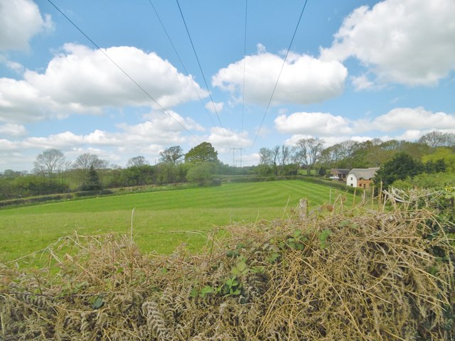
Dyett's Coppice is a beautiful woodland area located in the county of Dorset, England. Nestled amidst the rolling hills and picturesque countryside, this forest is a haven for nature enthusiasts and those seeking tranquility. Covering an area of approximately 100 acres, Dyett's Coppice is a relatively small but well-preserved wood.

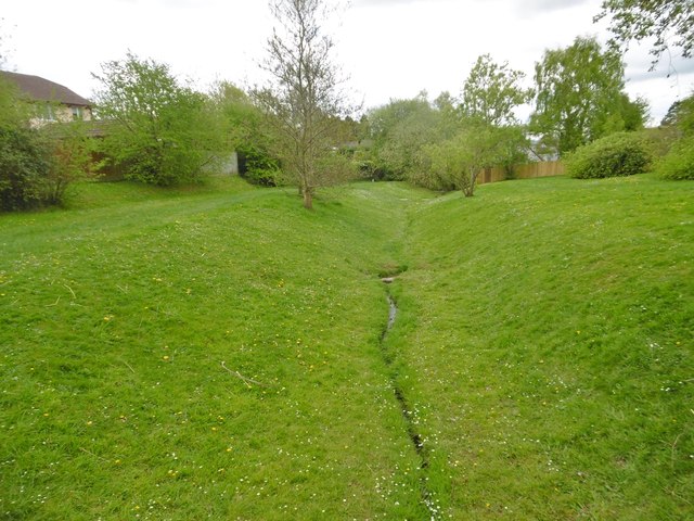
The forest is predominantly composed of broadleaf trees, including oak, beech, and ash, creating a diverse and vibrant ecosystem. The dense canopy provides a welcoming shade during the summer months and a stunning display of colors during the autumn season. The forest floor is adorned with a rich carpet of wildflowers, ferns, and mosses, adding to its enchanting beauty.

Dyett's Coppice is home to a variety of wildlife, including deer, badgers, foxes, and numerous bird species. Birdwatchers can spot woodpeckers, owls, and various songbirds, making it a popular destination for bird enthusiasts. The forest also supports a healthy population of butterflies and insects, further enhancing its ecological significance.

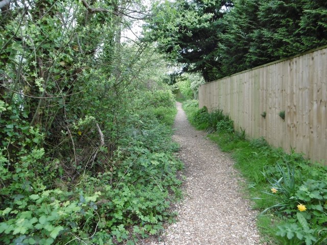
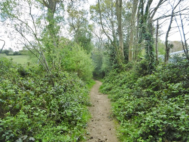
The woodland offers several walking trails that wind through its ancient trees, allowing visitors to explore its natural wonders at their own pace. These trails are well-maintained and are suitable for both leisurely strolls and more adventurous hikes. There are also designated picnic areas, where visitors can enjoy a peaceful lunch surrounded by nature.

Dyett's Coppice is a cherished natural gem in Dorset, offering a serene escape from the hustle and bustle of everyday life. Its breathtaking beauty and abundant wildlife make it a must-visit destination for nature lovers and those seeking a tranquil retreat.

If you have any feedback on the listing, please let us know in the comments section below.

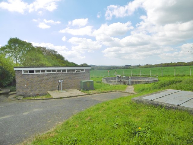
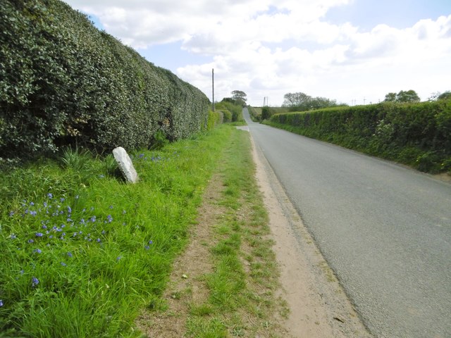
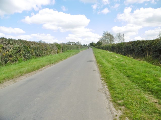
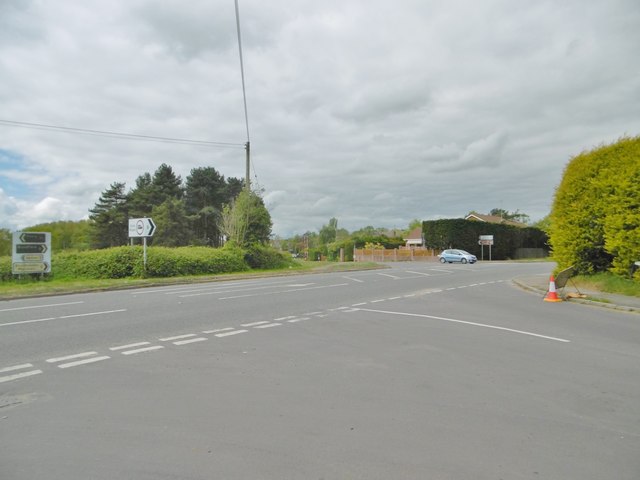
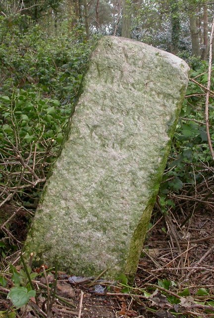
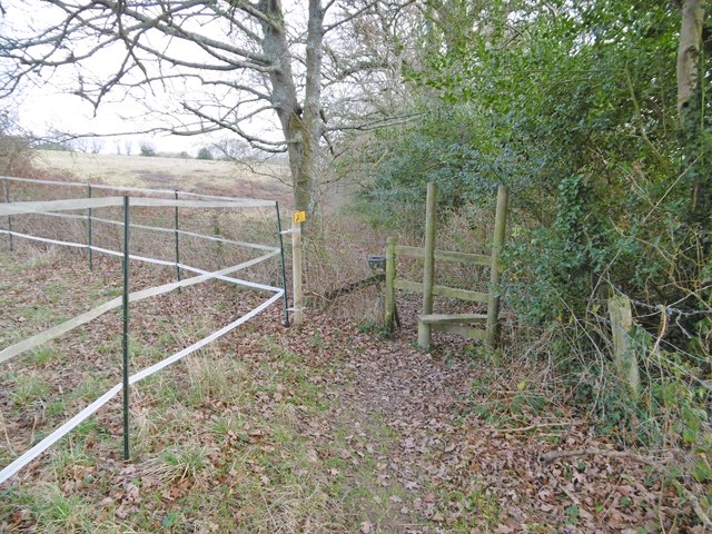
Dyett's Coppice Images

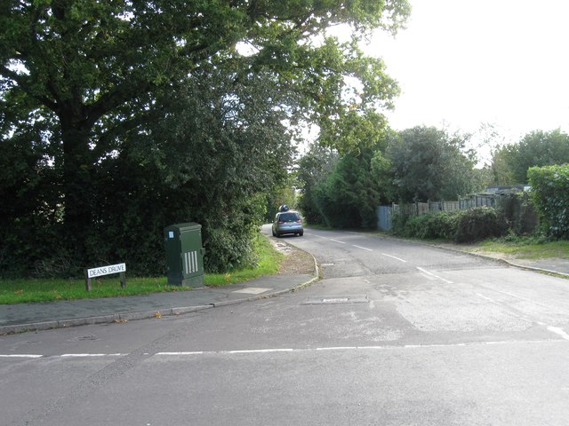
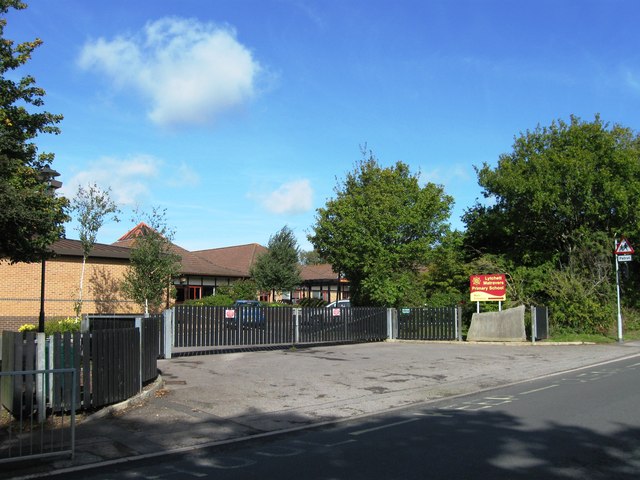
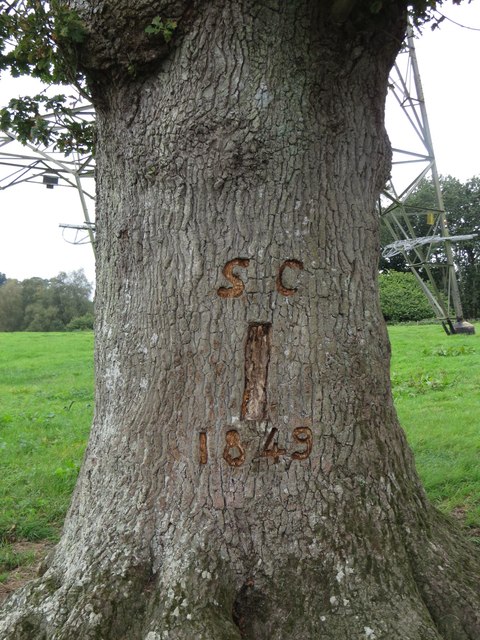
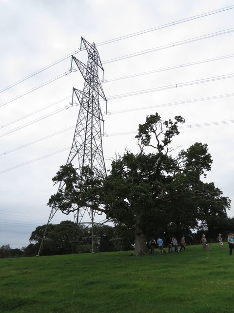
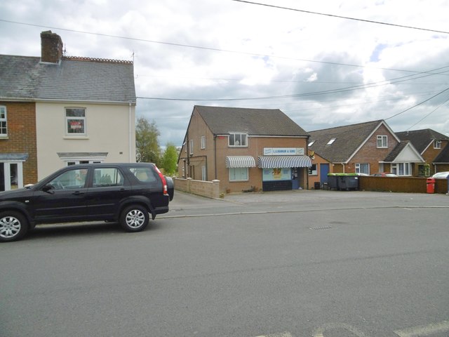
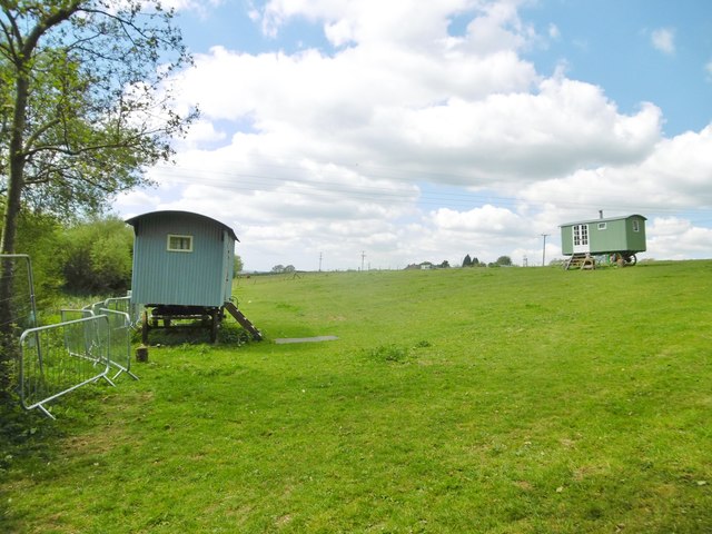
Images are sourced within 2km of 50.764172/-2.0834908 or Grid Reference SY9496. Thanks to Geograph Open Source API. All images are credited.

Deans Drove
Deans Drove
Entrance to Lytchett Matravers Primary School
Samuel Crumpler's Oak Tree, Old Park, Lytchett Matravers See also: 
<a href="https://www.geograph.org.uk/photo/5129868">SY9295 : The Giant and the Dwarf</a>

A COUNTRY TRAGEDY
By Beau Parke 
Samuel Crumpler paid the price for being so nice 
and trusting with his bull; 
He walked the field that blistering Summer's day 
whilst checking acreage and gauging chores 
unmindful of his young and powerful charge. 
Then suddenly the animal took pace 
and rushed and roared and snorted t'wards his face, 
whilst Sam stepped back, yet still believed 
the bull was easy to contain: 
But on it went, momentum built 
to such a speed and strength that Sam, alarmed, 
tried frantic'ly to reach for branches of the nearby oak, 
but failed to get the leverage he needed now 
to avoid its frenzied, maddened surge; 
He yelled in terrifying pain as he was pinned against 
the trunk and gored relentlessly by this unreal, unreasoning 
monster that he'd fed and nurtured from a calf; 
The blood was spurting forth as sweat and slime and slaver 
from the bull was intermixed with gore, 
and bones were crushed till Samuel Crumpler's broken frame 
was tossed into the air, now cruelly 
scythed and crunched beyond all comprehension. 

His sorrowing widow and nine sons and daughters 
saw him laid to rest a few days later 
in the Village Churchyard, knowing that local history 
had been made at his expense for trusting that 
young bull and lowering his guard. 
Samuel Crumpler, wheelwright, carpenter and sometime farmer died, 
aged fifty-five, in 1849; a kind and strong and gallant, 
some say foolish, family man.
Samuel Crumpler's Oak Tree, Old Park, Lytchett Matravers
See also: SY9295 : The Giant and the Dwarf A COUNTRY TRAGEDY By Beau Parke Samuel Crumpler paid the price for being so nice and trusting with his bull; He walked the field that blistering Summer's day whilst checking acreage and gauging chores unmindful of his young and powerful charge. Then suddenly the animal took pace and rushed and roared and snorted t'wards his face, whilst Sam stepped back, yet still believed the bull was easy to contain: But on it went, momentum built to such a speed and strength that Sam, alarmed, tried frantic'ly to reach for branches of the nearby oak, but failed to get the leverage he needed now to avoid its frenzied, maddened surge; He yelled in terrifying pain as he was pinned against the trunk and gored relentlessly by this unreal, unreasoning monster that he'd fed and nurtured from a calf; The blood was spurting forth as sweat and slime and slaver from the bull was intermixed with gore, and bones were crushed till Samuel Crumpler's broken frame was tossed into the air, now cruelly scythed and crunched beyond all comprehension. His sorrowing widow and nine sons and daughters saw him laid to rest a few days later in the Village Churchyard, knowing that local history had been made at his expense for trusting that young bull and lowering his guard. Samuel Crumpler, wheelwright, carpenter and sometime farmer died, aged fifty-five, in 1849; a kind and strong and gallant, some say foolish, family man.
The Giant and the Dwarf This veteran Oak tree is dwarfed by its infant neighbour. It soaks up the negative energy emitted by the pylons. For more information about this oak tree, see <a href="https://www.geograph.org.uk/photo/5129861">SY9295 : Samuel Crumpler's Oak Tree, Old Park, Lytchett Matravers</a>.
The Giant and the Dwarf
This veteran Oak tree is dwarfed by its infant neighbour. It soaks up the negative energy emitted by the pylons. For more information about this oak tree, see SY9295 : Samuel Crumpler's Oak Tree, Old Park, Lytchett Matravers.
Lytchett Matravers, brook Originating from a spring nearby, flowing down to join Sherford River.
Lytchett Matravers, brook
Originating from a spring nearby, flowing down to join Sherford River.
Lytchett Matravers, footpath From Deans Drove, following the course of <a href="https://www.geograph.org.uk/photo/5353610">SY9494 : Lytchett Matravers, brook</a>.
Lytchett Matravers, footpath
From Deans Drove, following the course of SY9494 : Lytchett Matravers, brook.
Lytchett Matravers, Deans Drove Village road with a hollow (caused or used by <a href="https://www.geograph.org.uk/photo/5353610">SY9494 : Lytchett Matravers, brook</a>) from Foxhills Road to Wareham Road.
Lytchett Matravers, Deans Drove
Village road with a hollow (caused or used by SY9494 : Lytchett Matravers, brook) from Foxhills Road to Wareham Road.
Lytchett Matravers Primary School On Wareham Road: <span class="nowrap"><a title="http://www.lytchettmatraversprimary.org.uk/" rel="nofollow ugc noopener" href="http://www.lytchettmatraversprimary.org.uk/">Link</a><img style="margin-left:2px;" alt="External link" title="External link - shift click to open in new window" src="https://s1.geograph.org.uk/img/external.png" width="10" height="10"/></span>
Lytchett Matravers Primary School
On Wareham Road: LinkExternal link
Lytchett Matravers, store General store and family butchers, on Wareham Road.
Lytchett Matravers, store
General store and family butchers, on Wareham Road.
Lytchett Matravers, power lines Striding across grazing land.
Lytchett Matravers, power lines
Striding across grazing land.
Lytchett Matravers, bridleway Through grazing land, from Middle Road to Halls Road.
Lytchett Matravers, bridleway
Through grazing land, from Middle Road to Halls Road.
Lytchett Matravers, caravans Traditional Dorset shepherd's caravans, in a field next to <a href="https://www.geograph.org.uk/photo/5356590">SY9394 : Lytchett Matravers, bridleway</a>.
Lytchett Matravers, caravans
Traditional Dorset shepherd's caravans, in a field next to SY9394 : Lytchett Matravers, bridleway.
Lytchett Matravers, pumping station On Halls Road.
Lytchett Matravers, pumping station
On Halls Road.
Lytchett Matravers, Halls Road A straight road connecting Bulbury Lane with Wareham Road, and forming the boundary between Lytchett Matravers (left) and Lytchett Minster (right). To the front is an illegible boundary stone.
Lytchett Matravers, Halls Road
A straight road connecting Bulbury Lane with Wareham Road, and forming the boundary between Lytchett Matravers (left) and Lytchett Minster (right). To the front is an illegible boundary stone.
Lytchett Matravers, Middle Road Leading from Halls Road to the village centre.
Lytchett Matravers, Middle Road
Leading from Halls Road to the village centre.
Corfe Mullen, crossroads Jubilee Cross - looking from Rushall Lane to Wimborne Road; left and right, Blandford Road North.
Corfe Mullen, crossroads
Jubilee Cross - looking from Rushall Lane to Wimborne Road; left and right, Blandford Road North.
Old Milestone by Huntick Road, east of Lytchett Matravers Carved stone post by the UC road, in parish of LYTCHETT MATRAVERS (PURBECK District), Huntick Road, by West end of "Alder Rise" garden in thicket on embankment 3m from road, on South side of road. Poole stone, erected by the Poole turnpike trust in the 18th century. 

Inscription reads:-
VI
Miles from
Poole
Gate

Milestone Society National ID: DO_POLM06.
Old Milestone by Huntick Road, east of Lytchett Matravers
Carved stone post by the UC road, in parish of LYTCHETT MATRAVERS (PURBECK District), Huntick Road, by West end of "Alder Rise" garden in thicket on embankment 3m from road, on South side of road. Poole stone, erected by the Poole turnpike trust in the 18th century. Inscription reads:- VI Miles from Poole Gate Milestone Society National ID: DO_POLM06.
East Morden, stile On the footpath from Cockett Hill to Dolman's Hill; electric fence for a horse paddock, left.
East Morden, stile
On the footpath from Cockett Hill to Dolman's Hill; electric fence for a horse paddock, left.
Show me another place!

Dyett's Coppice is located at Grid Ref: SY9496 (Lat: 50.764172, Lng: -2.0834908)

Unitary Authority: Dorset

Police Authority: Dorset

What 3 Words

///mountain.mandates.dumpling. Near Lytchett Matravers, Dorset

Related Wikis

St Mary the Virgin, Lytchett Matravers

St Mary the Virgin is the Church of England parish church of Lytchett Matravers in Dorset. Its parish is part of the Diocese of Salisbury. The building...

Lytchett Matravers

Lytchett Matravers is a large village and civil parish in Dorset, England. The 2011 census recorded the parish as having 1,439 households and a population...

Barrow Hill, Dorset

Barrow Hill is a small settlement in Dorset, England, situated in the East Dorset administrative district on the A350 road approximately 4 miles (6.4 km...

Lytchett Heath

Lytchett Heath is an area of woods and farmland on the Dorset Heaths between the villages of Lytchett Matravers, Lytchett Minster and the hamlet of Beacon...

Nearby Amenities

Located within 500m of 50.764172,-2.0834908
Fire Hydrant
Emergency: fire_hydrant
Fire Hydrant Diameter: 4 inch
Fire Hydrant Type: underground
Ref: 10413
Source: GPS+GLONASS
Lat/Long: 50.760288/-2.080005
Fire Hydrant
Emergency: fire_hydrant
Fire Hydrant Type: underground
Fixme: Is this a real fire hydrant?
Source: GPS+GLONASS
Lat/Long: 50.760508/-2.083727
Camera Direction: 110
Camera Type: fixed
Man Made: surveillance
Surveillance: public
Surveillance Type: camera
Lat/Long: 50.7605829/-2.0816988
Fire Hydrant
Emergency: fire_hydrant
Fire Hydrant Diameter: 100
Fire Hydrant Type: underground
Ref: 7762
Source: GPS+GLONASS
Lat/Long: 50.760597/-2.083159
Camera Direction: 270
Camera Type: dome
Man Made: surveillance
Surveillance: public
Surveillance Type: camera
Lat/Long: 50.7608888/-2.0826187
Camera Direction: 22
Camera Type: fixed
Man Made: surveillance
Surveillance: public
Surveillance Type: camera
Lat/Long: 50.7609471/-2.0825616
Fire Hydrant
Emergency: fire_hydrant
Fire Hydrant Type: underground
Source: GPS+GLONASS
Lat/Long: 50.76143/-2.08198
Waste Basket
Source: survey
Waste: dog_excrement
Lat/Long: 50.7625194/-2.0811478
Waste Basket
Source: survey
Waste: dog_excrement
Lat/Long: 50.7607314/-2.0792235
Fire Hydrant
Emergency: fire_hydrant
Fire Hydrant Diameter: 3 inch
Fire Hydrant Type: underground
Ref: 10185
Source: GPS+GLONASS
Lat/Long: 50.761326/-2.07867
Fire Hydrant
Emergency: fire_hydrant
Fire Hydrant Diameter: 100
Fire Hydrant Type: underground
Fixme: Find exact location
Ref: 4650
Source: GPS+GLONASS
Lat/Long: 50.761811/-2.0807405
Man Made: utility_pole
Material: wood
Operator: BT OpenReach
Ref: 2A
Source: survey
Utility: telecom
Lat/Long: 50.764222/-2.0883599
Man Made: utility_pole
Material: wood
Operator: BT OpenReach
Ref: 3A
Source: survey
Utility: telecom
Lat/Long: 50.7638658/-2.0883062
Fire Hydrant
Emergency: fire_hydrant
Fire Hydrant Diameter: 100
Fire Hydrant Type: underground
Ref: 011001
Source: survey
Lat/Long: 50.762408/-2.088169
The data included in this document is from www.openstreetmap.org. The data is made available under ODbL.

Have you been to Dyett's Coppice?

Leave your review of Dyett's Coppice below (or comments, questions and feedback).