Drove Coppice

Wood, Forest in Dorset

England

Drove Coppice

Deans Drove
Deans Drove Credit: Alex McGregor

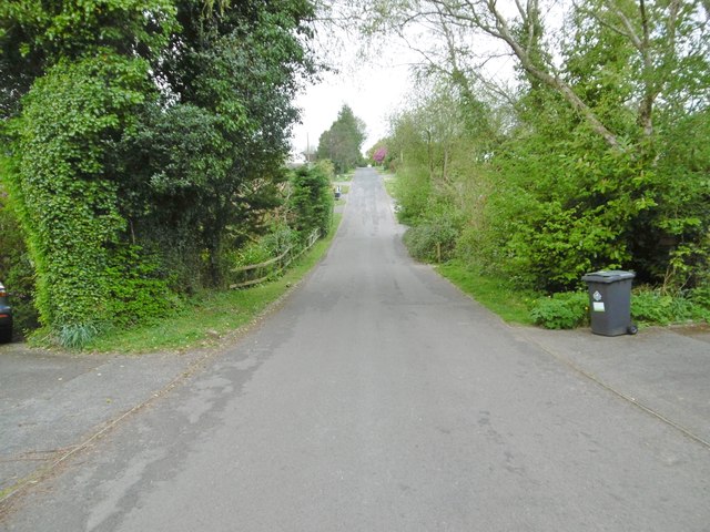
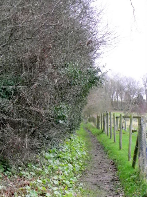
Drove Coppice is a beautiful woodland area located in Dorset, England. It is a small but significant part of the wider Dorset forest, known for its lush greenery and diverse flora and fauna. The coppice is situated near the village of Bere Regis and covers an area of approximately 20 acres.

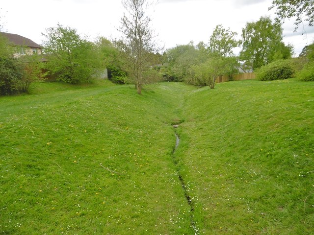
Drove Coppice is characterized by its dense and ancient woodland, consisting mainly of oak and ash trees. These towering trees create a serene and peaceful atmosphere, making it a favorite spot for nature enthusiasts and hikers. The forest floor is covered with a thick carpet of ferns, mosses, and wildflowers, adding to its natural beauty.

The woodland is home to a rich variety of wildlife. Birdwatchers can spot numerous species such as woodpeckers, tits, and thrushes, among others. Foxes, badgers, and deer are also known to inhabit the area, adding to its natural diversity. The coppice is an important habitat for these animals, providing shelter and food sources.

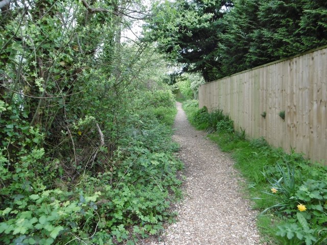
Drove Coppice is well-maintained, with well-marked trails and footpaths for visitors to explore the area. It offers a peaceful retreat from the hustle and bustle of everyday life, making it an ideal location for picnics and leisurely walks. Additionally, the coppice is a popular spot for photographers and artists, who are drawn to its natural beauty and tranquility.

Overall, Drove Coppice in Dorset is a haven for nature lovers and those seeking solace in the great outdoors. Its ancient woodland, diverse wildlife, and natural charm make it a must-visit destination for anyone looking to connect with nature.

If you have any feedback on the listing, please let us know in the comments section below.

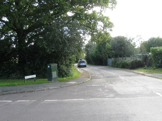
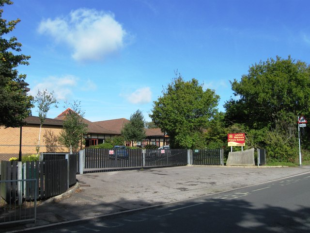
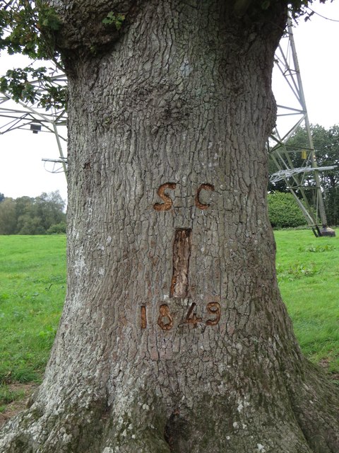
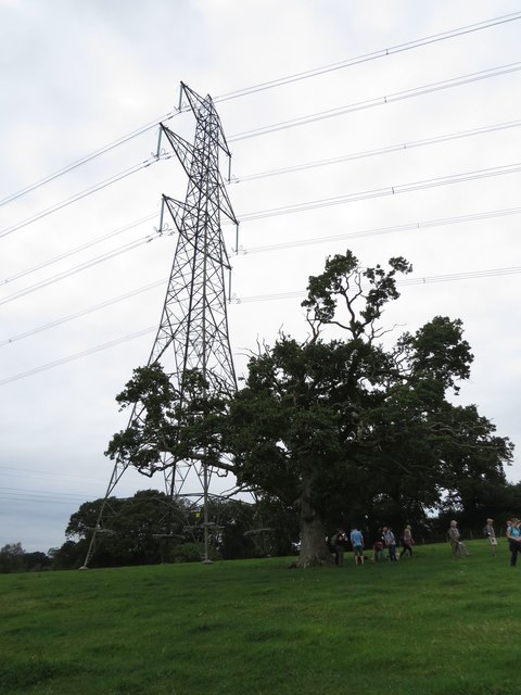
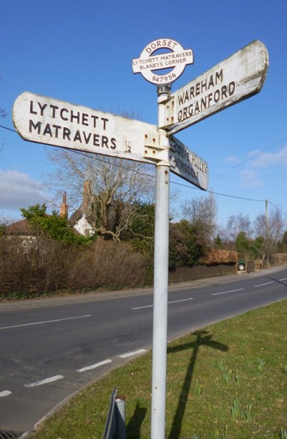
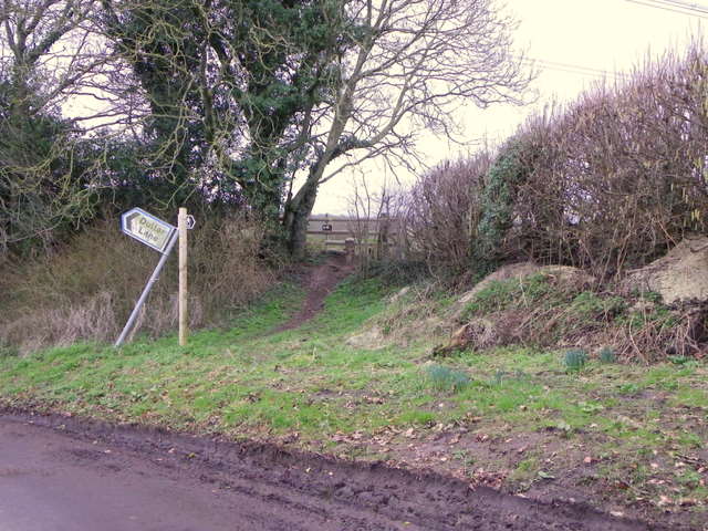
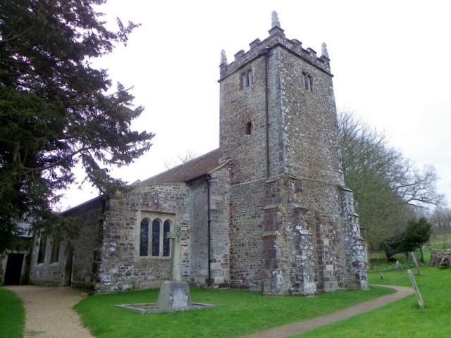
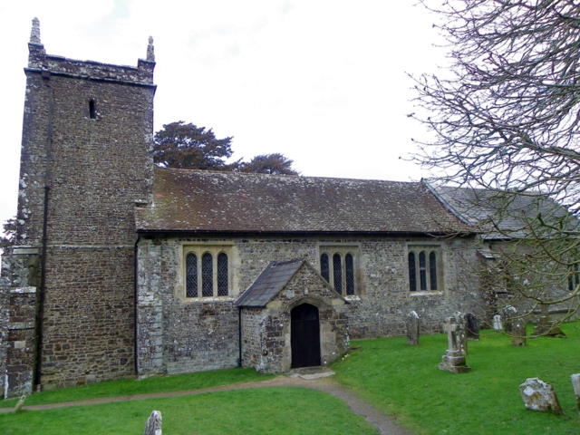
Drove Coppice Images

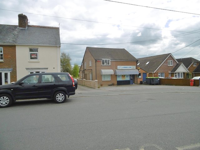
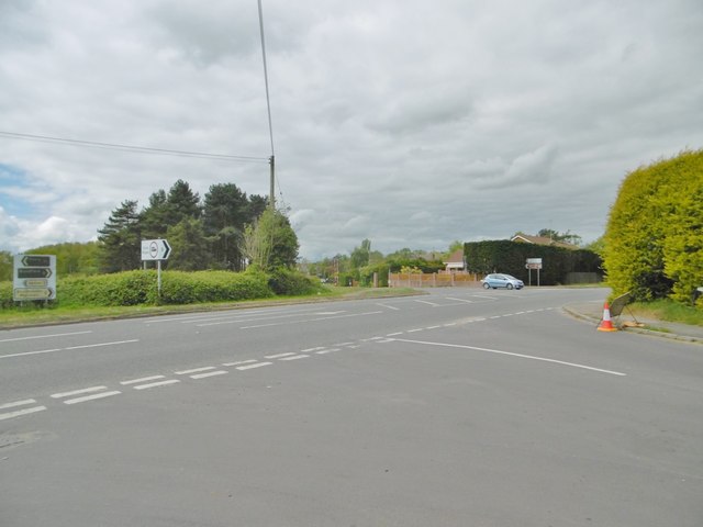
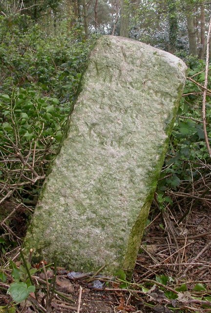
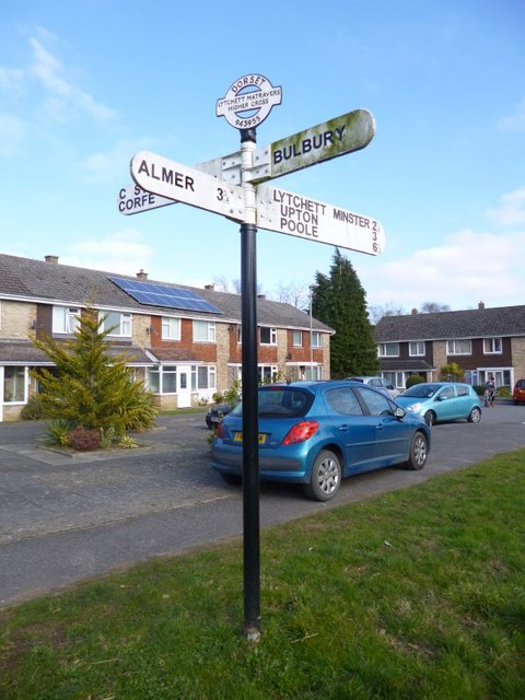
Images are sourced within 2km of 50.768805/-2.0808331 or Grid Reference SY9496. Thanks to Geograph Open Source API. All images are credited.

Deans Drove
Deans Drove
Entrance to Lytchett Matravers Primary School
Samuel Crumpler's Oak Tree, Old Park, Lytchett Matravers See also: 
<a href="https://www.geograph.org.uk/photo/5129868">SY9295 : The Giant and the Dwarf</a>

A COUNTRY TRAGEDY
By Beau Parke 
Samuel Crumpler paid the price for being so nice 
and trusting with his bull; 
He walked the field that blistering Summer's day 
whilst checking acreage and gauging chores 
unmindful of his young and powerful charge. 
Then suddenly the animal took pace 
and rushed and roared and snorted t'wards his face, 
whilst Sam stepped back, yet still believed 
the bull was easy to contain: 
But on it went, momentum built 
to such a speed and strength that Sam, alarmed, 
tried frantic'ly to reach for branches of the nearby oak, 
but failed to get the leverage he needed now 
to avoid its frenzied, maddened surge; 
He yelled in terrifying pain as he was pinned against 
the trunk and gored relentlessly by this unreal, unreasoning 
monster that he'd fed and nurtured from a calf; 
The blood was spurting forth as sweat and slime and slaver 
from the bull was intermixed with gore, 
and bones were crushed till Samuel Crumpler's broken frame 
was tossed into the air, now cruelly 
scythed and crunched beyond all comprehension. 

His sorrowing widow and nine sons and daughters 
saw him laid to rest a few days later 
in the Village Churchyard, knowing that local history 
had been made at his expense for trusting that 
young bull and lowering his guard. 
Samuel Crumpler, wheelwright, carpenter and sometime farmer died, 
aged fifty-five, in 1849; a kind and strong and gallant, 
some say foolish, family man.
Samuel Crumpler's Oak Tree, Old Park, Lytchett Matravers
See also: SY9295 : The Giant and the Dwarf A COUNTRY TRAGEDY By Beau Parke Samuel Crumpler paid the price for being so nice and trusting with his bull; He walked the field that blistering Summer's day whilst checking acreage and gauging chores unmindful of his young and powerful charge. Then suddenly the animal took pace and rushed and roared and snorted t'wards his face, whilst Sam stepped back, yet still believed the bull was easy to contain: But on it went, momentum built to such a speed and strength that Sam, alarmed, tried frantic'ly to reach for branches of the nearby oak, but failed to get the leverage he needed now to avoid its frenzied, maddened surge; He yelled in terrifying pain as he was pinned against the trunk and gored relentlessly by this unreal, unreasoning monster that he'd fed and nurtured from a calf; The blood was spurting forth as sweat and slime and slaver from the bull was intermixed with gore, and bones were crushed till Samuel Crumpler's broken frame was tossed into the air, now cruelly scythed and crunched beyond all comprehension. His sorrowing widow and nine sons and daughters saw him laid to rest a few days later in the Village Churchyard, knowing that local history had been made at his expense for trusting that young bull and lowering his guard. Samuel Crumpler, wheelwright, carpenter and sometime farmer died, aged fifty-five, in 1849; a kind and strong and gallant, some say foolish, family man.
The Giant and the Dwarf This veteran Oak tree is dwarfed by its infant neighbour. It soaks up the negative energy emitted by the pylons. For more information about this oak tree, see <a href="https://www.geograph.org.uk/photo/5129861">SY9295 : Samuel Crumpler's Oak Tree, Old Park, Lytchett Matravers</a>.
The Giant and the Dwarf
This veteran Oak tree is dwarfed by its infant neighbour. It soaks up the negative energy emitted by the pylons. For more information about this oak tree, see SY9295 : Samuel Crumpler's Oak Tree, Old Park, Lytchett Matravers.
Lytchett Matravers, brook Originating from a spring nearby, flowing down to join Sherford River.
Lytchett Matravers, brook
Originating from a spring nearby, flowing down to join Sherford River.
Lytchett Matravers, footpath From Deans Drove, following the course of <a href="https://www.geograph.org.uk/photo/5353610">SY9494 : Lytchett Matravers, brook</a>.
Lytchett Matravers, footpath
From Deans Drove, following the course of SY9494 : Lytchett Matravers, brook.
Lytchett Matravers, Deans Drove Village road with a hollow (caused or used by <a href="https://www.geograph.org.uk/photo/5353610">SY9494 : Lytchett Matravers, brook</a>) from Foxhills Road to Wareham Road.
Lytchett Matravers, Deans Drove
Village road with a hollow (caused or used by SY9494 : Lytchett Matravers, brook) from Foxhills Road to Wareham Road.
Lytchett Matravers Primary School On Wareham Road: <span class="nowrap"><a title="http://www.lytchettmatraversprimary.org.uk/" rel="nofollow ugc noopener" href="http://www.lytchettmatraversprimary.org.uk/">Link</a><img style="margin-left:2px;" alt="External link" title="External link - shift click to open in new window" src="https://s1.geograph.org.uk/img/external.png" width="10" height="10"/></span>
Lytchett Matravers Primary School
On Wareham Road: LinkExternal link
Lytchett Matravers, store General store and family butchers, on Wareham Road.
Lytchett Matravers, store
General store and family butchers, on Wareham Road.
Corfe Mullen, crossroads Jubilee Cross - looking from Rushall Lane to Wimborne Road; left and right, Blandford Road North.
Corfe Mullen, crossroads
Jubilee Cross - looking from Rushall Lane to Wimborne Road; left and right, Blandford Road North.
Old Milestone by Huntick Road, east of Lytchett Matravers Carved stone post by the UC road, in parish of LYTCHETT MATRAVERS (PURBECK District), Huntick Road, by West end of "Alder Rise" garden in thicket on embankment 3m from road, on South side of road. Poole stone, erected by the Poole turnpike trust in the 18th century. 

Inscription reads:-
VI
Miles from
Poole
Gate

Milestone Society National ID: DO_POLM06.
Old Milestone by Huntick Road, east of Lytchett Matravers
Carved stone post by the UC road, in parish of LYTCHETT MATRAVERS (PURBECK District), Huntick Road, by West end of "Alder Rise" garden in thicket on embankment 3m from road, on South side of road. Poole stone, erected by the Poole turnpike trust in the 18th century. Inscription reads:- VI Miles from Poole Gate Milestone Society National ID: DO_POLM06.
Old Direction Sign - Signpost by High Street, Lytchett Matravers Annulus and bar finial - 4 arms; Dorset halo with NGR by the UC road, in parish of Lytchett Matravers (Purbeck District), Lytchett Matravers, junction of High Street with Limekiln Road, on verge.

Surveyed

Milestone Society National ID: DO_SY9495A
Old Direction Sign - Signpost by High Street, Lytchett Matravers
Annulus and bar finial - 4 arms; Dorset halo with NGR by the UC road, in parish of Lytchett Matravers (Purbeck District), Lytchett Matravers, junction of High Street with Limekiln Road, on verge. Surveyed Milestone Society National ID: DO_SY9495A
Old Direction Sign - Signpost by Wimborne Road, Lytchett Matravers Annulus and bar finial - 3 arms; Dorset halo with NGR by the UC road, in parish of Lytchett Matravers (Purbeck District), junction with Lime Kiln, Wimborne and Wareham Roads, on verge.

Surveyed

Milestone Society National ID: DO_SY9495B
Old Direction Sign - Signpost by Wimborne Road, Lytchett Matravers
Annulus and bar finial - 3 arms; Dorset halo with NGR by the UC road, in parish of Lytchett Matravers (Purbeck District), junction with Lime Kiln, Wimborne and Wareham Roads, on verge. Surveyed Milestone Society National ID: DO_SY9495B
Stile and footpath, Lytchett Matravers The footpath is part of the 13 mile, Wareham Forest Way.
Stile and footpath, Lytchett Matravers
The footpath is part of the 13 mile, Wareham Forest Way.
The Church of St Mary the Virgin, Lytchett Matravers The church has its origins in the 13th century with restoration taking place in circa 1875.  It is built of ironstone rubble.
The Church of St Mary the Virgin, Lytchett Matravers
The church has its origins in the 13th century with restoration taking place in circa 1875. It is built of ironstone rubble.
The Church of St Mary the Virgin, Lytchett Matravers The tower is the oldest part of the church dating from the 13th century.  The remainder of the church was built circa 1500.
The Church of St Mary the Virgin, Lytchett Matravers
The tower is the oldest part of the church dating from the 13th century. The remainder of the church was built circa 1500.
Footpath, Lytchett Matravers The footpath takes walkers from the Church of St Mary the Virgin towards Peatons Farms and the main of the village.
Footpath, Lytchett Matravers
The footpath takes walkers from the Church of St Mary the Virgin towards Peatons Farms and the main of the village.
Lichen, The Church of St Mary the Virgin The older gravestones are covered in lichen.

Lichens do not have roots, but absorb water and gases through their upper surface, and are therefore sensitive to atmospheric pollution.  For this reason they are rarely found around cities and grow best on the wetter west side of the British Isles.  Those on trees thrive best on the sunny, south-west aspects of trunks and branches.  Disappearance of lichen species can be used to detect rising levels of air pollution.  

There are three main types.  The encrusting forms, including the bright orange/dark yellow 'Xanthoria' grow on roofs, walls, gravestones, signs and tree trunks.  Leaf-like species develop flat lobes spreading over bark or stones, and shrubby forms which grow vertically from the ground or hang from trees.  Few have common names.
Lichen, The Church of St Mary the Virgin
The older gravestones are covered in lichen. Lichens do not have roots, but absorb water and gases through their upper surface, and are therefore sensitive to atmospheric pollution. For this reason they are rarely found around cities and grow best on the wetter west side of the British Isles. Those on trees thrive best on the sunny, south-west aspects of trunks and branches. Disappearance of lichen species can be used to detect rising levels of air pollution. There are three main types. The encrusting forms, including the bright orange/dark yellow 'Xanthoria' grow on roofs, walls, gravestones, signs and tree trunks. Leaf-like species develop flat lobes spreading over bark or stones, and shrubby forms which grow vertically from the ground or hang from trees. Few have common names.
Show me another place!

Drove Coppice is located at Grid Ref: SY9496 (Lat: 50.768805, Lng: -2.0808331)

Unitary Authority: Dorset

Police Authority: Dorset

What 3 Words

///polar.number.pill. Near Lytchett Matravers, Dorset

Related Wikis

St Mary the Virgin, Lytchett Matravers

St Mary the Virgin is the Church of England parish church of Lytchett Matravers in Dorset. Its parish is part of the Diocese of Salisbury. The building...

Lytchett Matravers

Lytchett Matravers is a large village and civil parish in Dorset, England. The 2011 census recorded the parish as having 1,439 households and a population...

Barrow Hill, Dorset

Barrow Hill is a small settlement in Dorset, England, situated in the East Dorset administrative district on the A350 road approximately 4 miles (6.4 km...

Charborough House

Charborough House, also known as Charborough Park, is a Grade I listed building, the manor house of the ancient manor of Charborough. The house is between...

Nearby Amenities

Located within 500m of 50.768805,-2.0808331
Power: tower
Source: Bing
Lat/Long: 50.7712081/-2.0864686
Power: tower
Source: Bing
Lat/Long: 50.7731825/-2.0815227
Power: pole
Source: bing
Lat/Long: 50.7704326/-2.0742622
Power: pole
Source: bing
Lat/Long: 50.7699254/-2.0757079
Power: pole
Source: bing
Lat/Long: 50.7700501/-2.0769645
Power: pole
Source: bing
Lat/Long: 50.7701646/-2.0782051
Power: pole
Source: bing
Transformer: distribution
Lat/Long: 50.7665581/-2.0773467
Power: pole
Source: bing
Lat/Long: 50.7662799/-2.0764107
Power: pole
Source: bing
Lat/Long: 50.7659109/-2.0757857
The data included in this document is from www.openstreetmap.org. The data is made available under ODbL.

Have you been to Drove Coppice?

Leave your review of Drove Coppice below (or comments, questions and feedback).