Valley Wood
Wood, Forest in Worcestershire Bromsgrove
England
Valley Wood
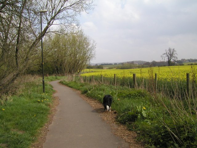
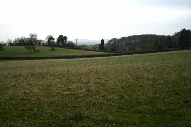
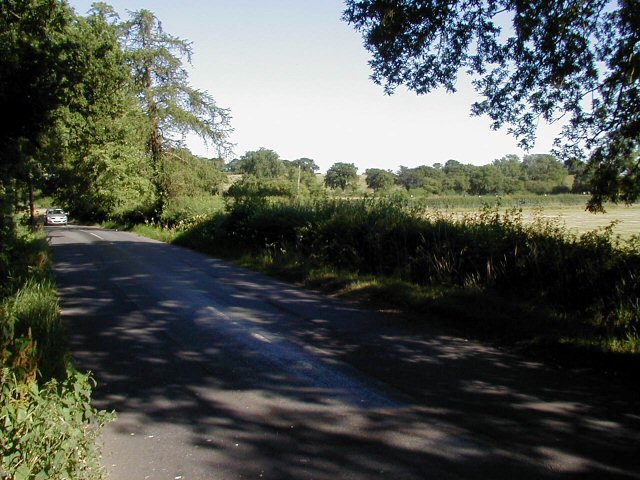
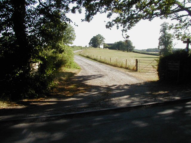
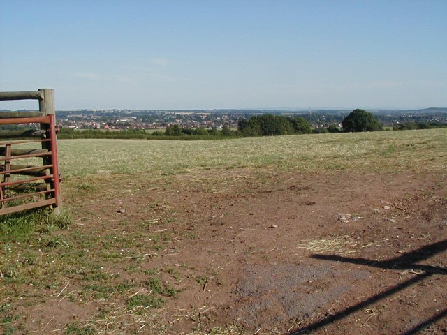
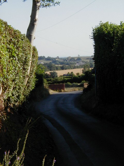
Valley Wood is a picturesque forest located in Worcestershire, England. Spanning over an area of approximately 100 acres, it is a natural haven that attracts nature enthusiasts and hikers alike. The wood is situated in a valley, surrounded by rolling hills and breathtaking scenery, providing visitors with a serene and peaceful atmosphere.
The wood is predominantly covered with a dense canopy of deciduous trees, including oak, beech, and birch, which create a vibrant and ever-changing landscape throughout the seasons. A variety of wildflowers, ferns, and mosses can also be found on the forest floor, adding to its natural beauty.
Valley Wood is home to a diverse range of wildlife, including foxes, deer, squirrels, and a wide array of bird species. Birdwatchers can spot notable species such as woodpeckers, owls, and various songbirds, making it a popular destination for bird enthusiasts.
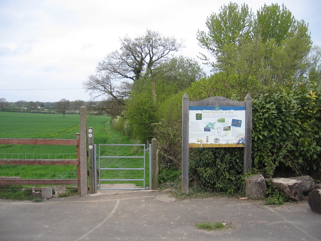
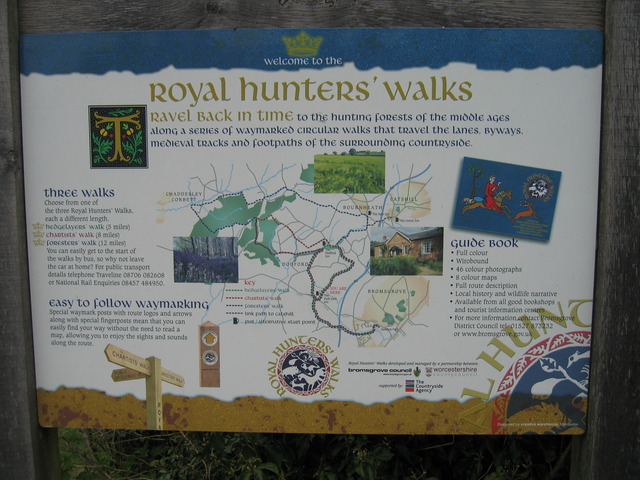
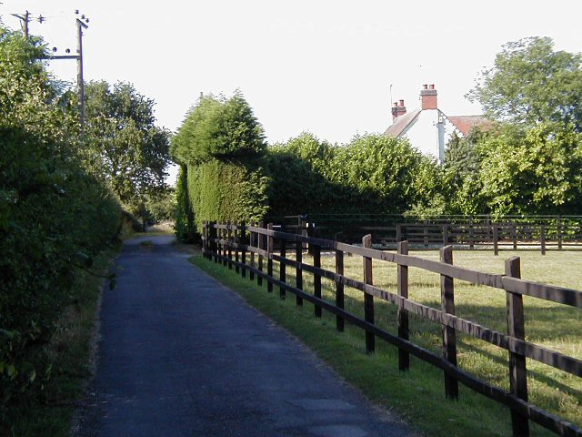
The forest offers several well-marked trails and pathways for visitors to explore, catering to both leisurely strolls and more challenging hikes. These trails lead to scenic viewpoints, babbling streams, and hidden glades, providing visitors with an opportunity to immerse themselves in nature and enjoy the tranquility of the wood.
Valley Wood is easily accessible, with a well-maintained car park and picnic area for visitors to enjoy. The wood is also a great place for educational visits, as it offers educational programs and guided walks to learn more about the local ecology and conservation efforts.
Overall, Valley Wood is a stunning natural gem in Worcestershire, offering a peaceful escape from the hustle and bustle of everyday life and providing visitors with an opportunity to reconnect with nature in a beautiful woodland setting.
If you have any feedback on the listing, please let us know in the comments section below.
Valley Wood Images
Images are sourced within 2km of 52.356977/-2.0813885 or Grid Reference SO9473. Thanks to Geograph Open Source API. All images are credited.


Valley Wood is located at Grid Ref: SO9473 (Lat: 52.356977, Lng: -2.0813885)
Administrative County: Worcestershire
District: Bromsgrove
Police Authority: West Mercia
What 3 Words
///couches.chins.sock. Near Bromsgrove, Worcestershire
Nearby Locations
Related Wikis

Alfred's Well, Worcestershire
Alfred's Well is a hamlet in the civil parish of Dodford in the Bromsgrove District of Worcestershire, England. Its nearest town is Bromsgrove. == References... ==

Bournheath
Bournheath is a village and civil parish in the Bromsgrove District of Worcestershire, England, about three miles north of Bromsgrove. According to the...
Dodford Priory
Dodford Priory in the parish of Bromsgrove in Worcestershire in the current village of Dodford, was a small Augustinian monastery. == History == It was...

Dodford, Worcestershire
Dodford is a village in the Bromsgrove district of Worcestershire, England, approximately 3 miles (4.8 km) west of Bromsgrove, officially founded on 2...

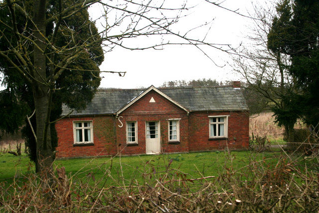
Rosedene
Rosedene is a cottage built as part of the Great Dodford Chartist settlement. It is the best preserved example of a Chartist cottage built by the National...

Catshill
Catshill is a village in Worcestershire about 2.5 miles north of Bromsgrove and 10 miles south-west of Birmingham. The parish of Catshill was formed around...
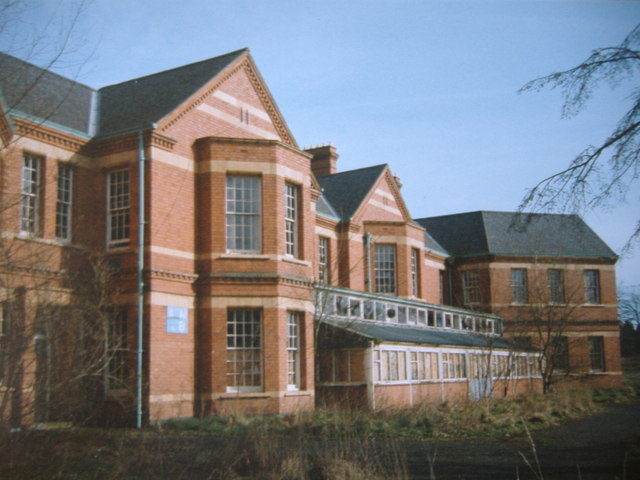
Barnsley Hall Hospital
Barnsley Hall Hospital was a psychiatric facility located in Bromsgrove, Worcestershire. == History == The hospital was based on a 324-acre (131 ha) site...
Fairfield, Worcestershire
Fairfield is a village in the district of Bromsgrove, Worcestershire, England. It is in the civil parish of Belbroughton. The village of Fairfield and...
Nearby Amenities
Located within 500m of 52.356977,-2.0813885Have you been to Valley Wood?
Leave your review of Valley Wood below (or comments, questions and feedback).